embracing the weather | mt daniel (class 2-3 scramble)
16 mi . 5400 ft gain . 7959 ft high
Alpine Lakes Wilderness
Mt Daniel has been on my list for years (like many other hikes I suppose). But I’ve always wanted to camp at the summit. Unfortunately backpacking is not usually my main objective and thus it gets swept under the carpet each year. So when a friend came into town, I was so stoked that she also wanted to tag this peak.
The weather forecast dissuaded us from our original backpacking plans but this provided a great alternative as something that could be done in a day and was intriguing to us. We both really enjoyed technical routes and this would contain some! To be honest, I went into this hike not really knowing what we would encounter.
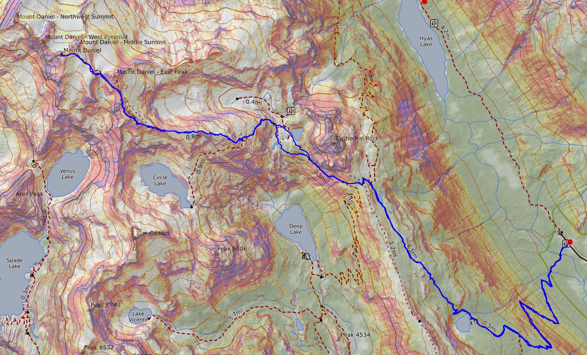
We started at the Mount Daniel Trailhead, also known as the Cathedral Rock Trailhead. We made sure not to park too far at the end of the road since it is actually a different trailhead that gets you to other great views of Mt Daniel, such as from Robin Lakes or Dip Top Gap. We wanted the most direct route and that began with the extremely mellow Cathedral Pass Trail. Literally so runnable if you wanted to. The first 4 miles came so easy with the most gentle grade. I think it was as mellow as the PCT often is. We passed our first lake – Squaw Lake before we started to hike into the wet cloud.
Mentally, this flat section was hard because I kept wanting to turn around but also had pretty big summit fever. But if Christie was going to keep going, I was! Once we hit Cathedral Pass and the PCT, we started to see a few more people and more views in general as the clouds started to lift. If we read the weather reports right, we would be able to get a patch of sun midday, so we weren’t too worried and took our time so that we could hit that sweet spot.
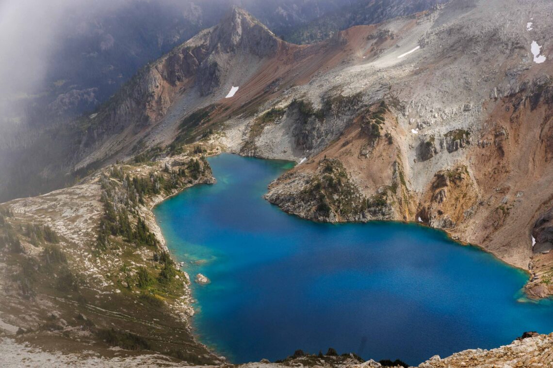
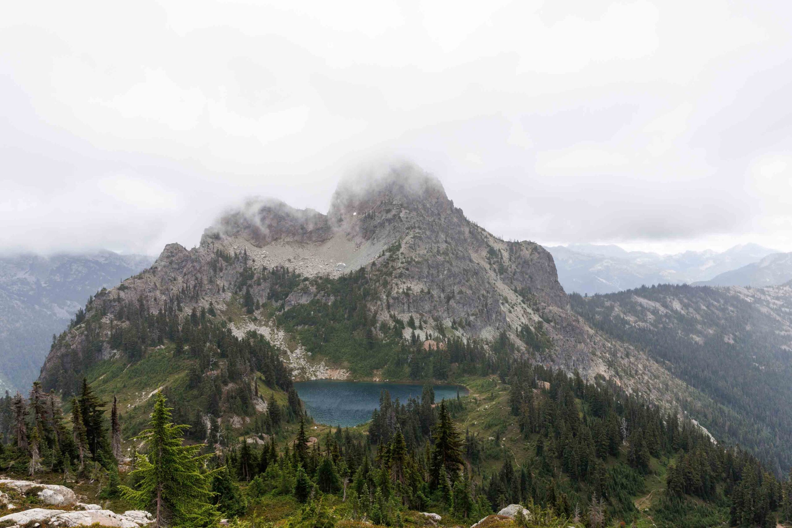
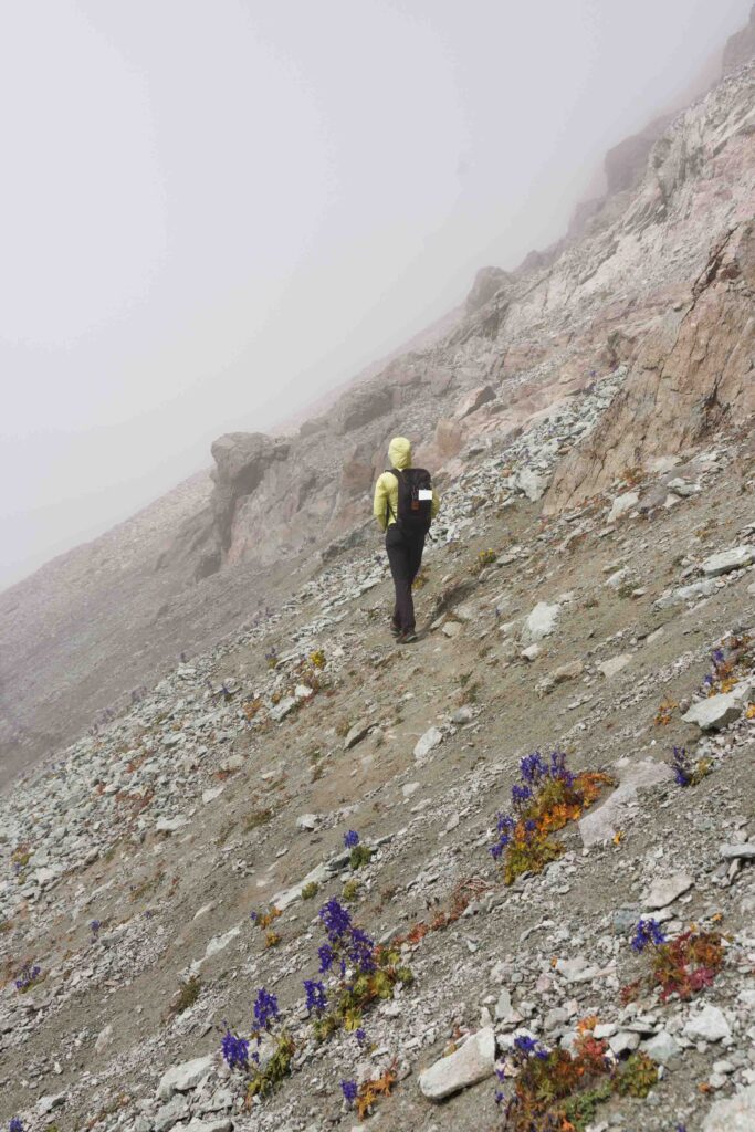
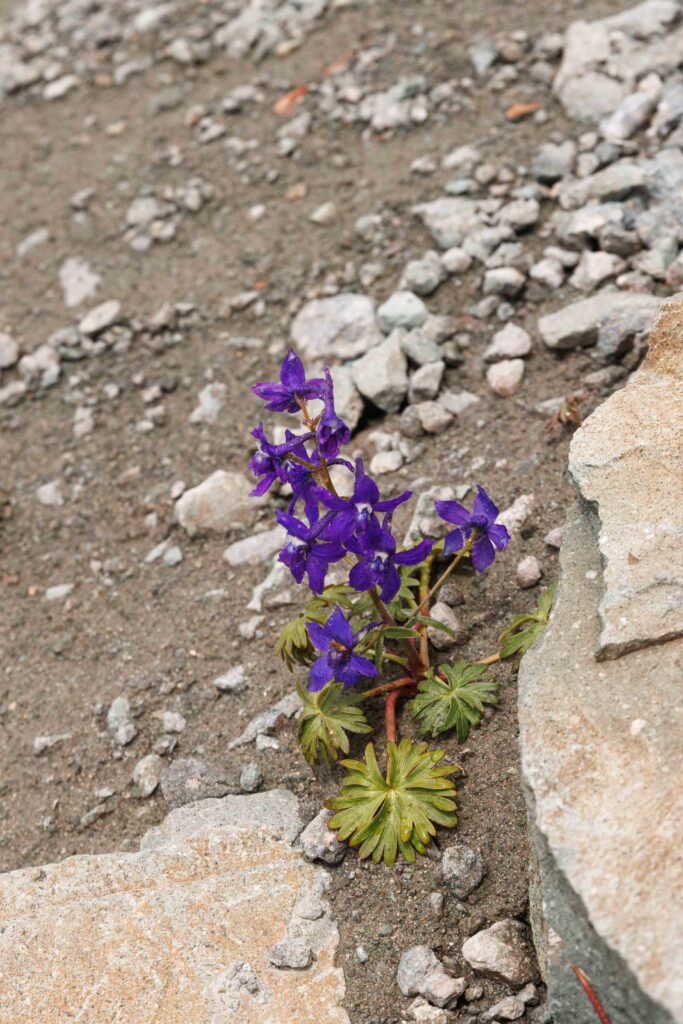
Almost immediately after catching the PCT we hopped right off. Using a gps map was helpful because the turn off is not noticeable at all! A couple even double checked to make sure we knew where we were headed. This trail is definitely unmaintained. Here I was thinking that the hike to Mt Daniel was such a highway. There’s a bunch of social trails and depending on which you take, you’ll go straight past Peggy’s Pond or you might skip it. To our surprise there were many little ponds and Peggy’s Pond was actually more pretty than you’d think a pond should be. Well worth camping there I suppose!
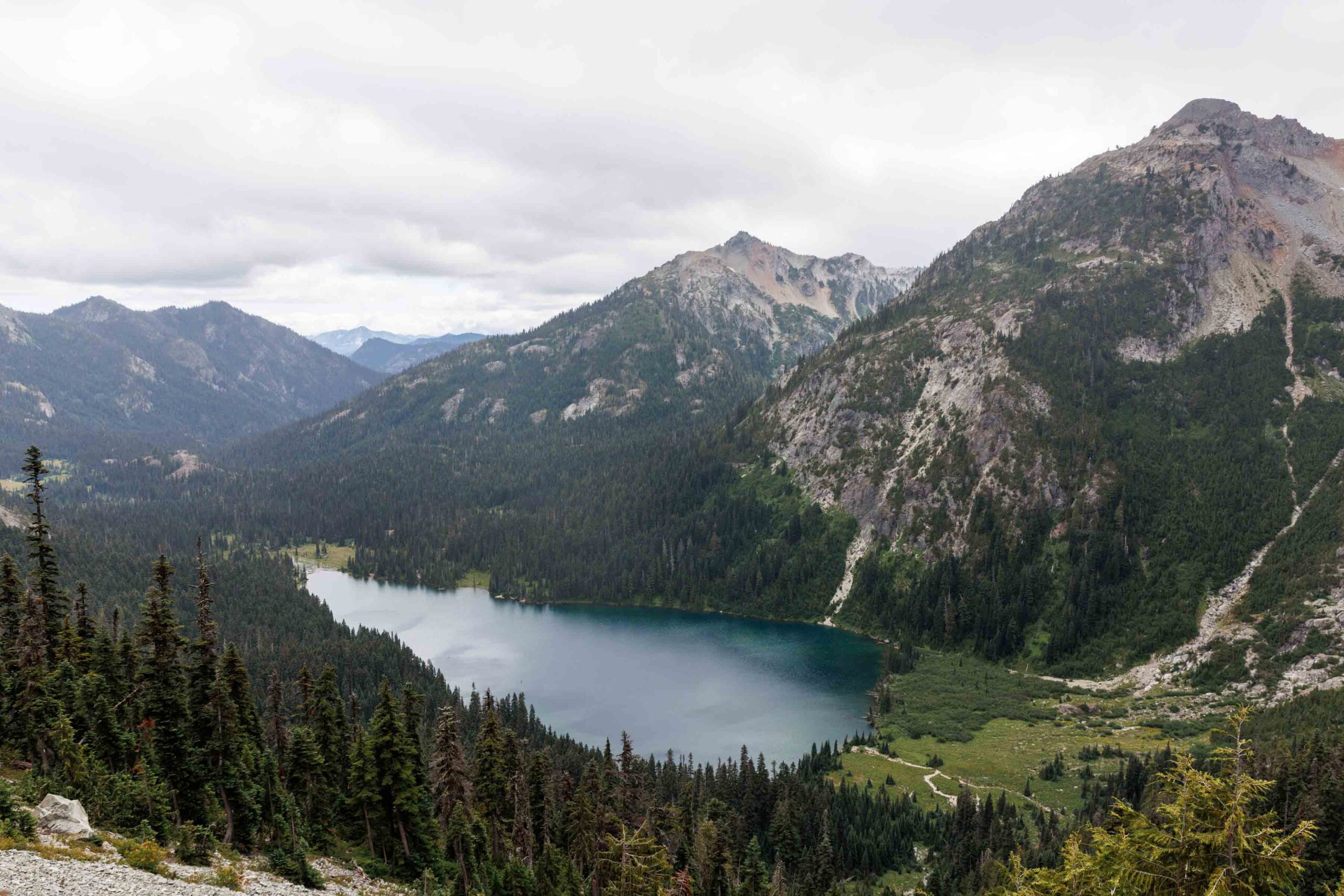
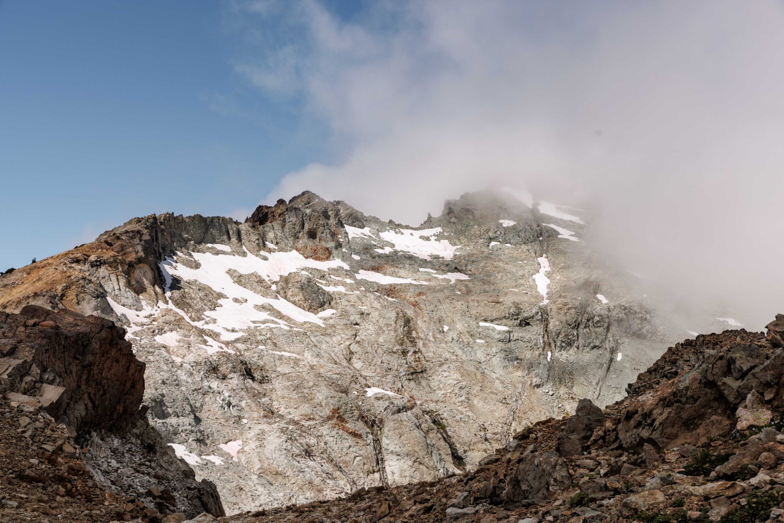
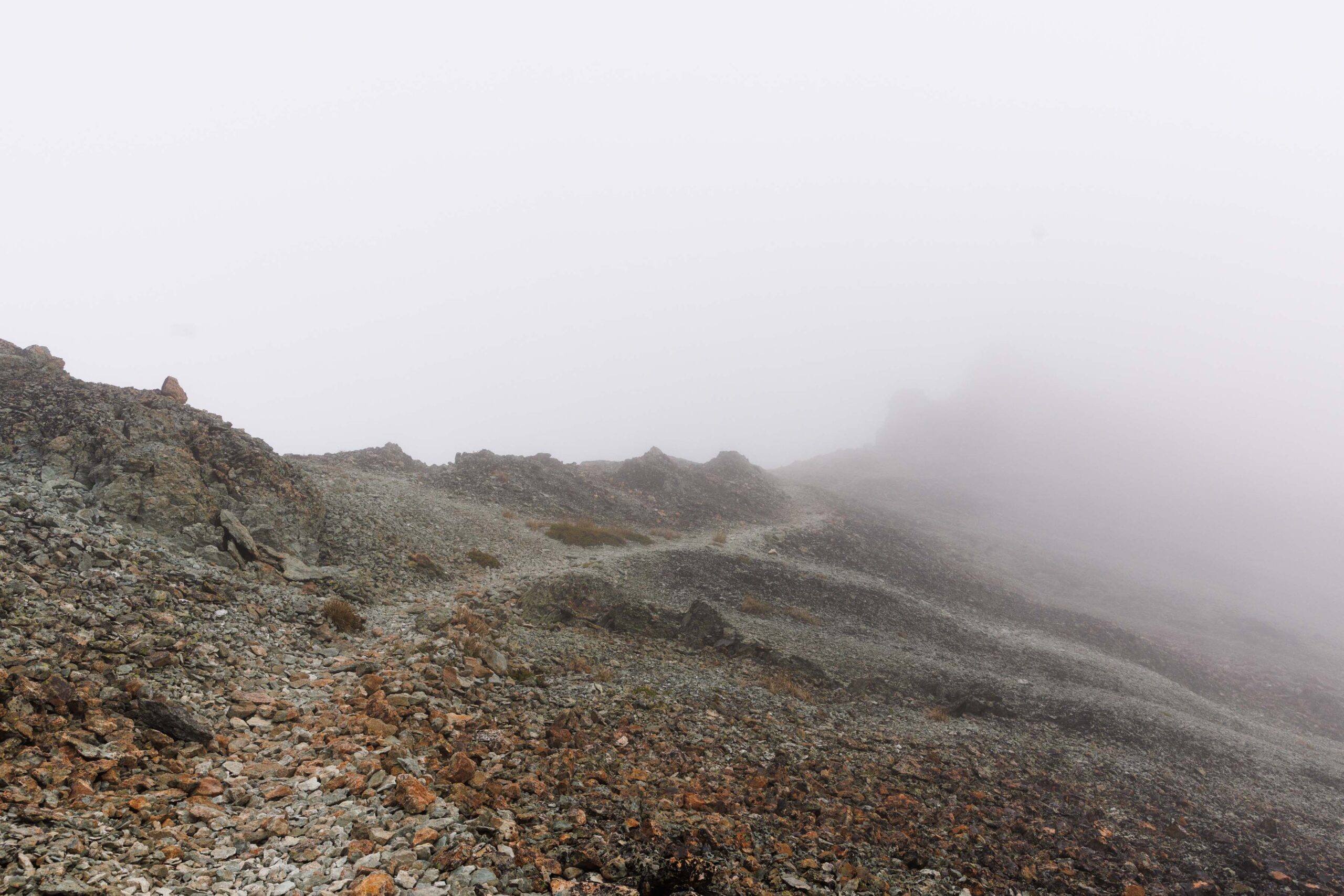
This is when the real uphill begins. Relentless uphill for about a thousand feet but at least we could never see that far so we had no idea how long it kept going. I guess it’s more of a path than a trail but there is a very defined way to travel. We lost count of all the lakes we saw but Circle Lake was incredibly blue and so pretty to have on one side of the ridge. We quickly lost sight of Deep Lake and Deer Lakes. Instead, we gained 3 more little lakes on the east flanks of Mount Daniel that were clearly only glacial melt.
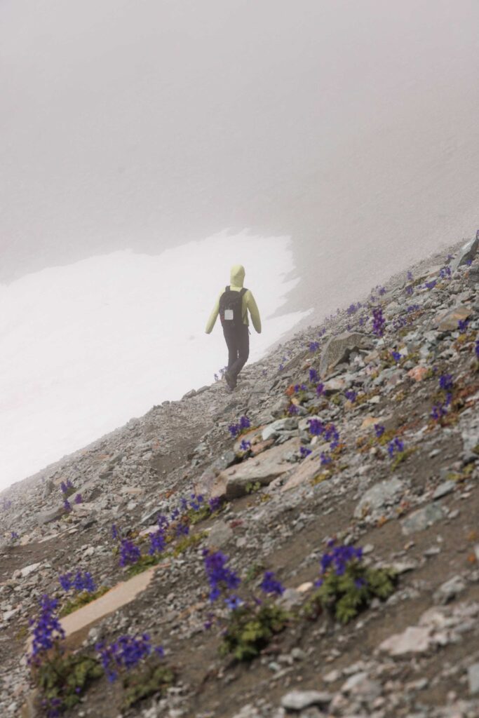
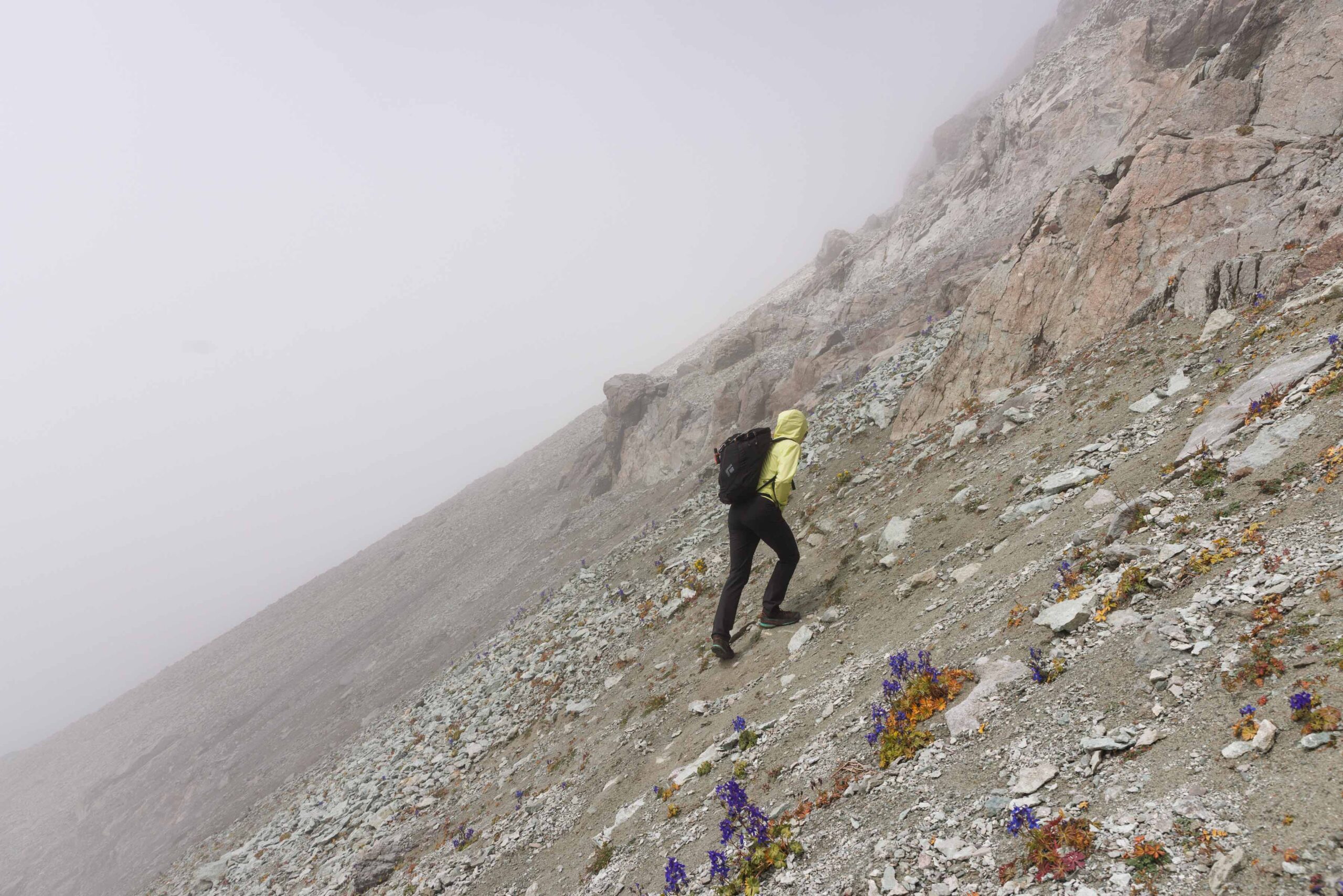
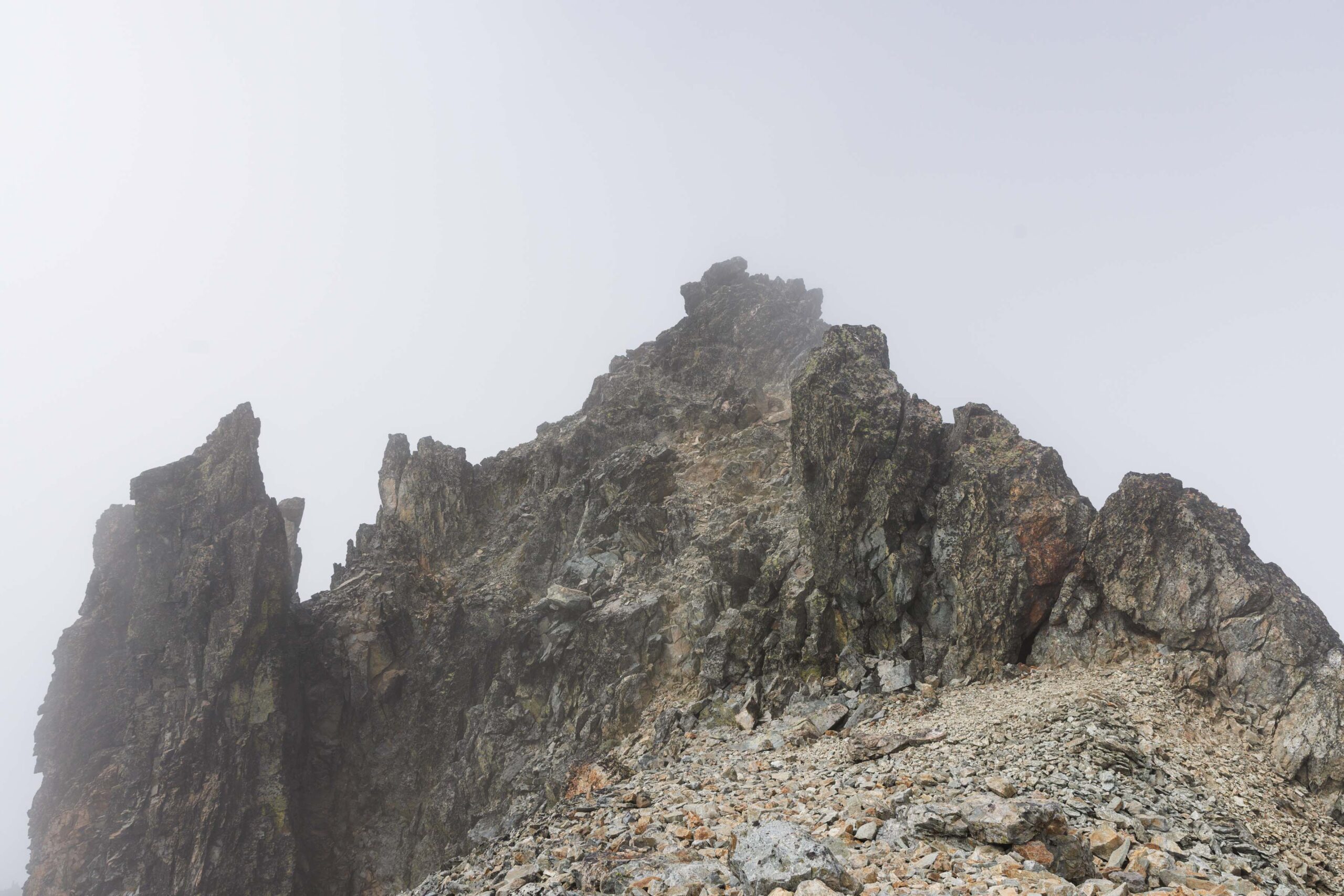
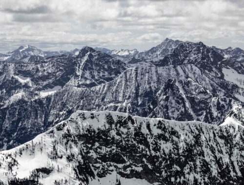
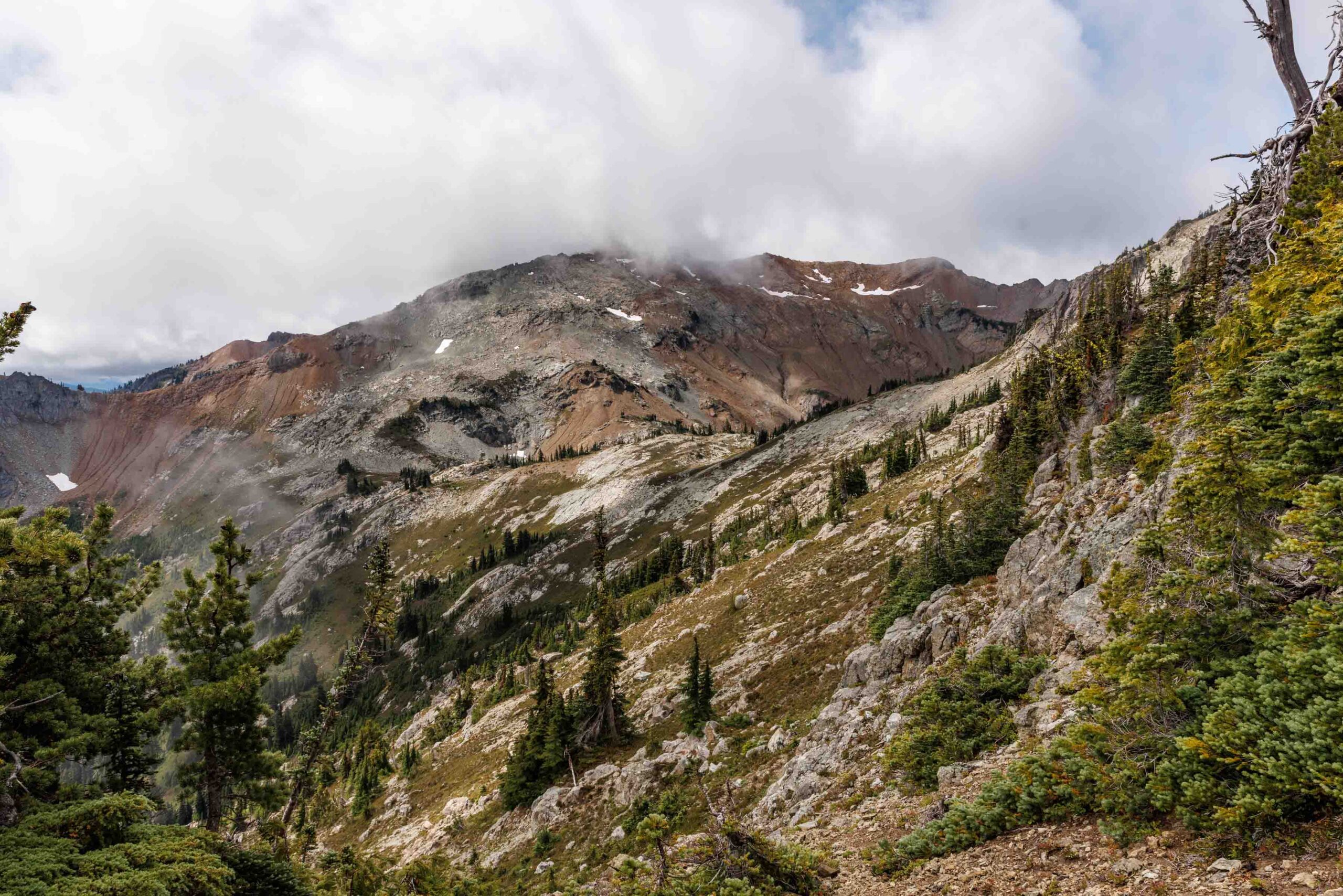
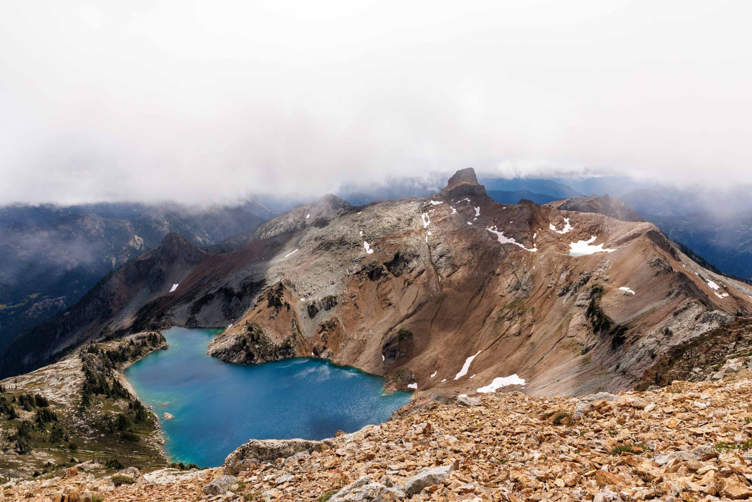
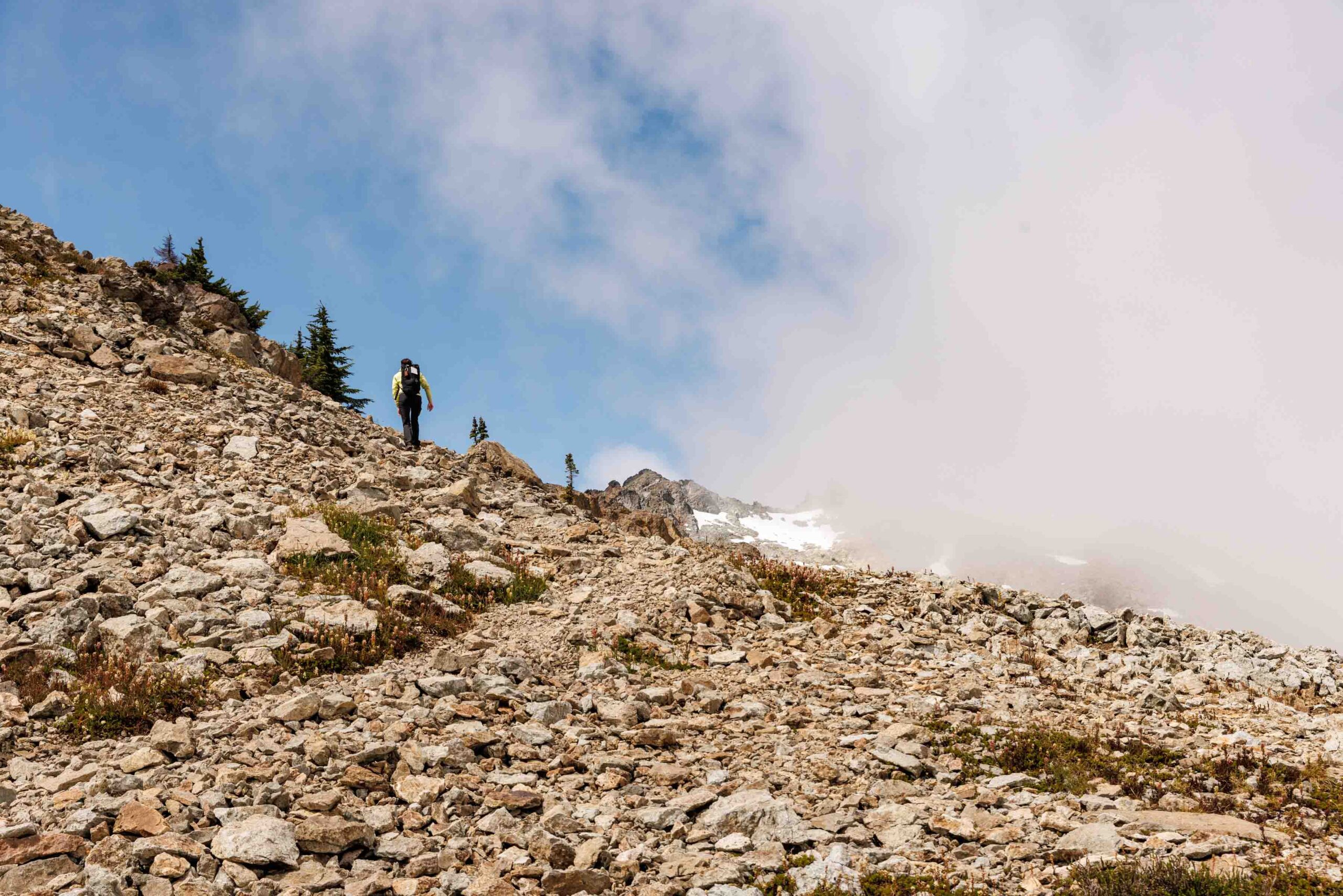
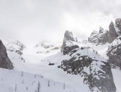
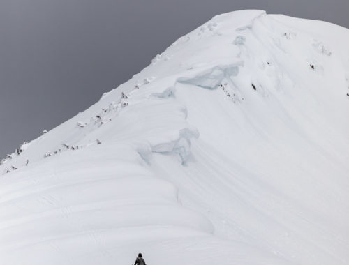
The ridge walking was by far some of the best I’ve had. It was simple and beautiful and flat! It did not last long because we had to decide if we would take the snow route or the scramble route. Neither of us liked snow all too much and didn’t bring gear, so we went the ridge route. There is one noticeably airy move but otherwise the majority of the ridge was class 2, walking on rocks. In only one spot did we have to stay east of the ridge and predominantly stayed west. Nothing was more than a class 3 scramble at the worst. I was so thankful to have taken the ridge method instead of the snow, but I know that is definitely a personal preference thing.
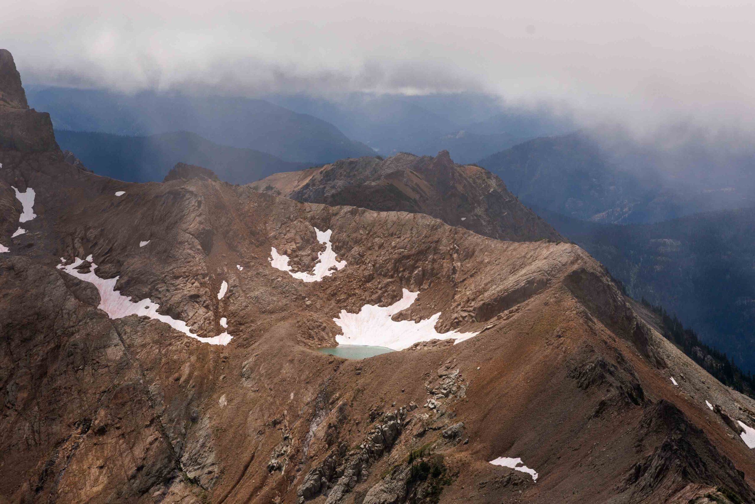
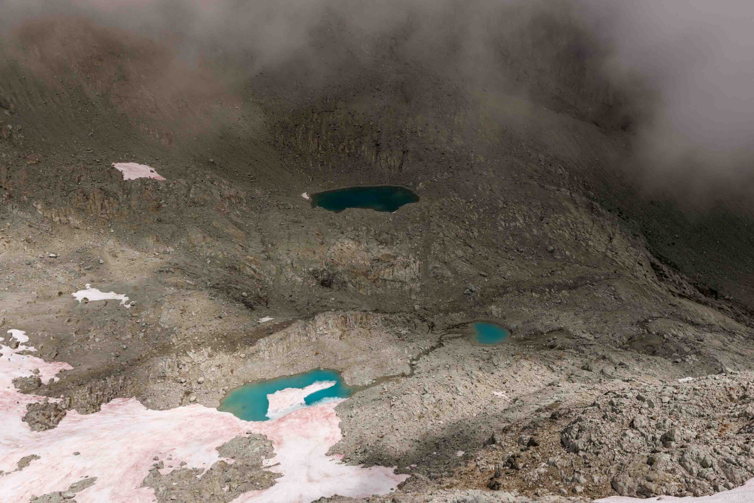
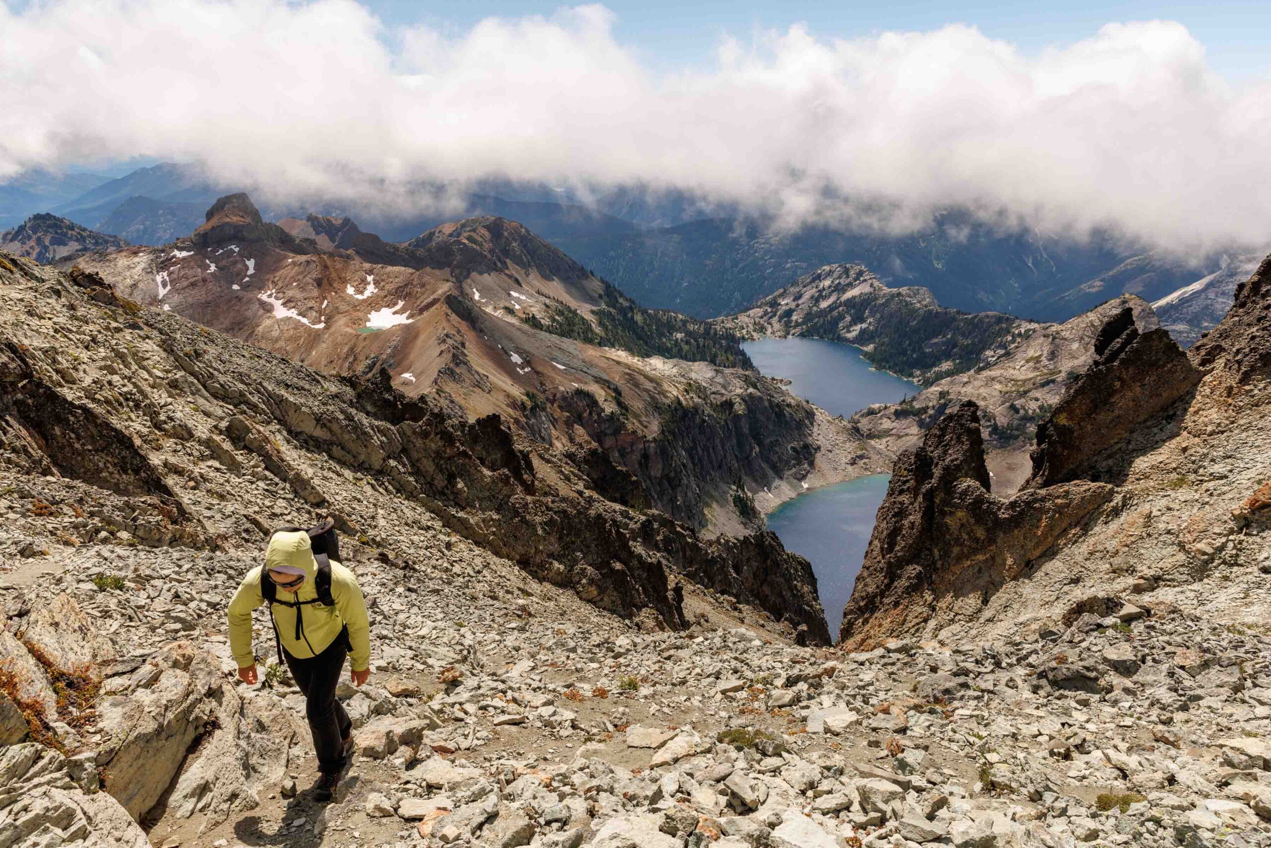
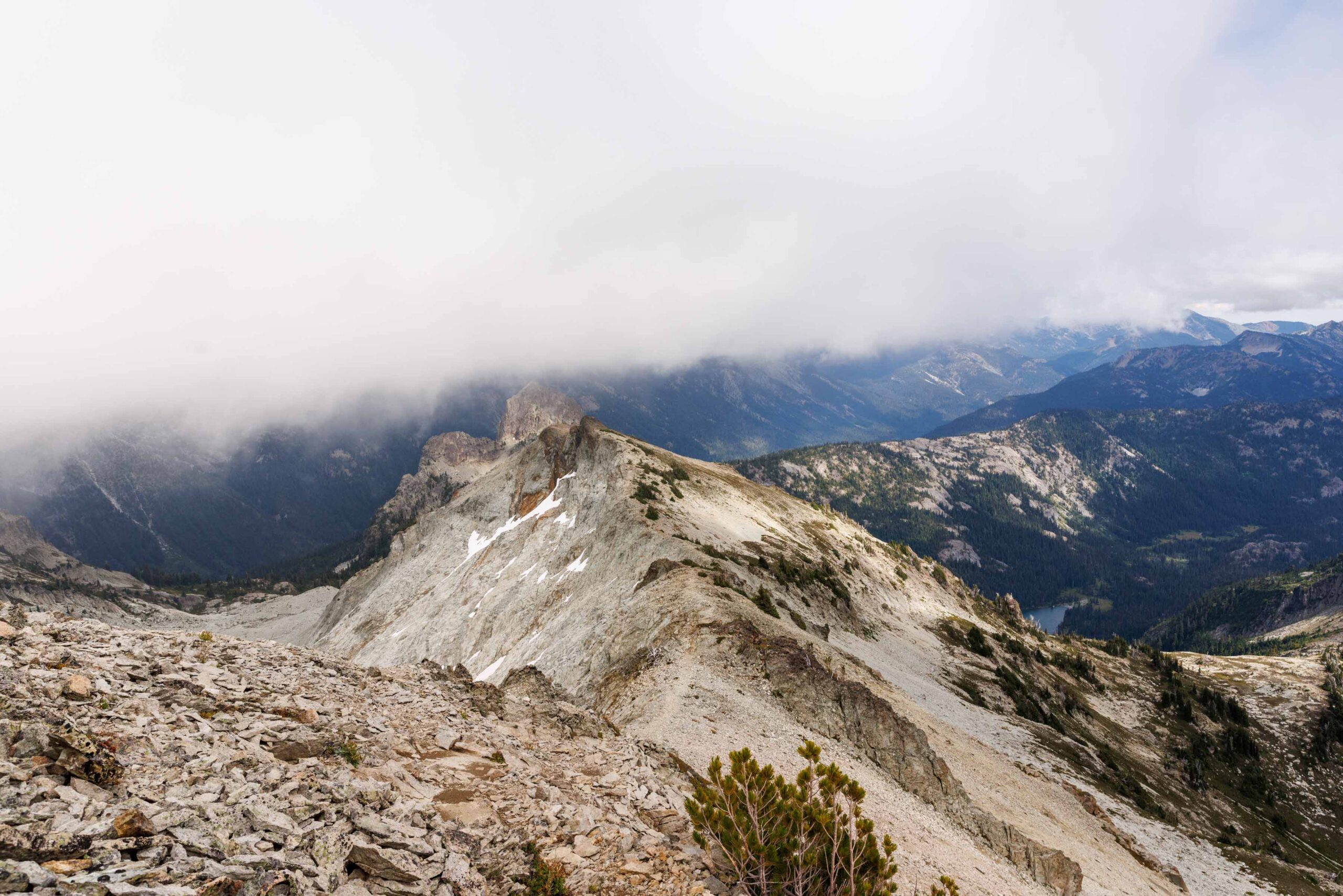
After this section, it was easy traversing all the way to the true summit of Mount Daniel. I suppose there were sections where the traverse felt steep, but the footing was almost always sure. If the footing was bad, it was only 2 steps of it. By this point we were pretty tired so any little uphill, we were already so sick of. There were many false summits since we had limited visibility. But we still got little glimpses of Venus and Spade Lakes, and one tiny tarn above Circle Lake. We never got to see Pea Soup Lake, though we waited a good half an hour for the clouds to clear. We almost timed it right!
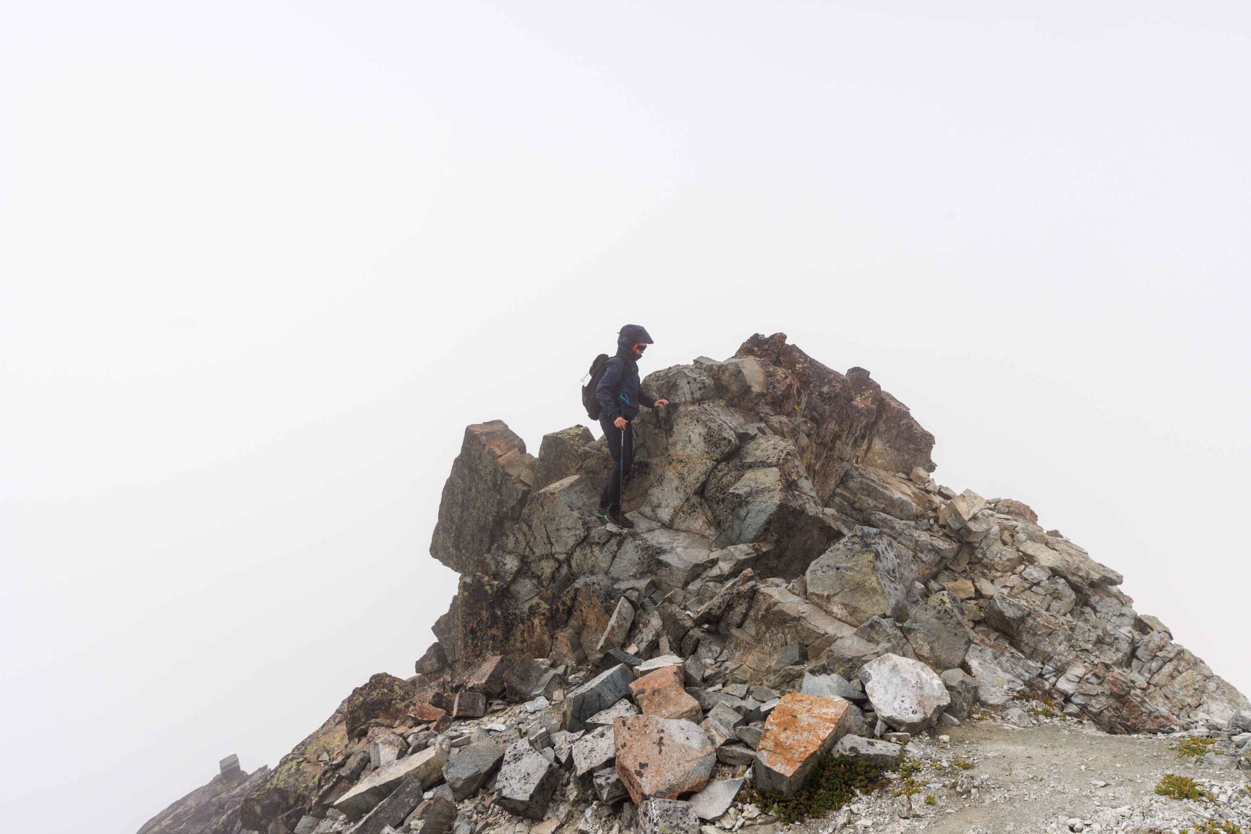
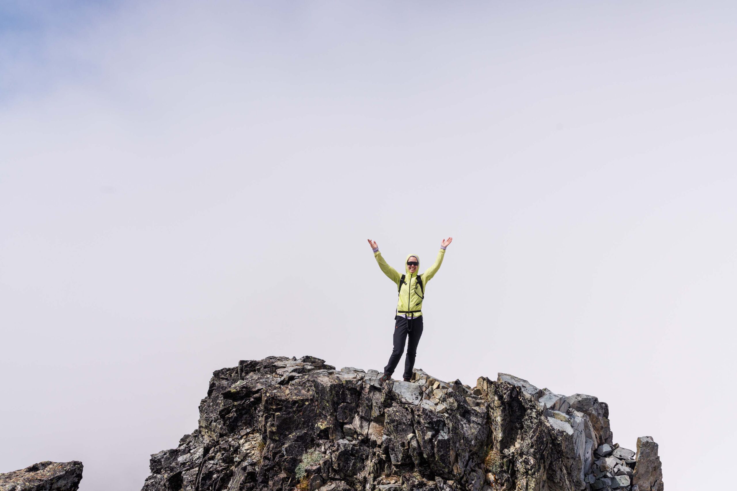
A good snack break later and a quick tag of the summit, we decided it was time to head down away from the high winds. We simply backtracked the way we came, fingers crossed that the clouds wouldn’t decide to lift the moment we descended. It listened to our wishes and gave us just enough views along the ridge again to be satisfied. The descent was fairly uneventful but we were just pleasantly surprised by how wonderful this trail was from allowing us to feel adventurous and also not packing in the elevation gain on the miles as much as other trails might. I’d definitely come back to backpack here again sometime in the future!
Notes
- Park at the Cathedral Rock Trailhead (Mount Daniel Trailhead) as opposed to the Tucquala Meadows Trailhead. It has a pit toilet and is just before the big parking lot for the Tuck and Robin Lakes or Jade and Marmot Lakes
- One major class 3 move prior to Mt Daniel East Peak if bypassing the snow route. Otherwise about 2 more class 3 moves on the summit block.
- Plenty of class 2 and mildly loose rocks but with limited exposure
- Bring snow gear if attempting to cross the snow before the east peak.
Photos taken on Canon EOS R5


You May Also Like
spring bound | silver star mountain via silver creek ski tour
the epitome of spring skiing | rock mountain ski tour