25+ low-angle washington ski tours
Updated: January 24, 2024
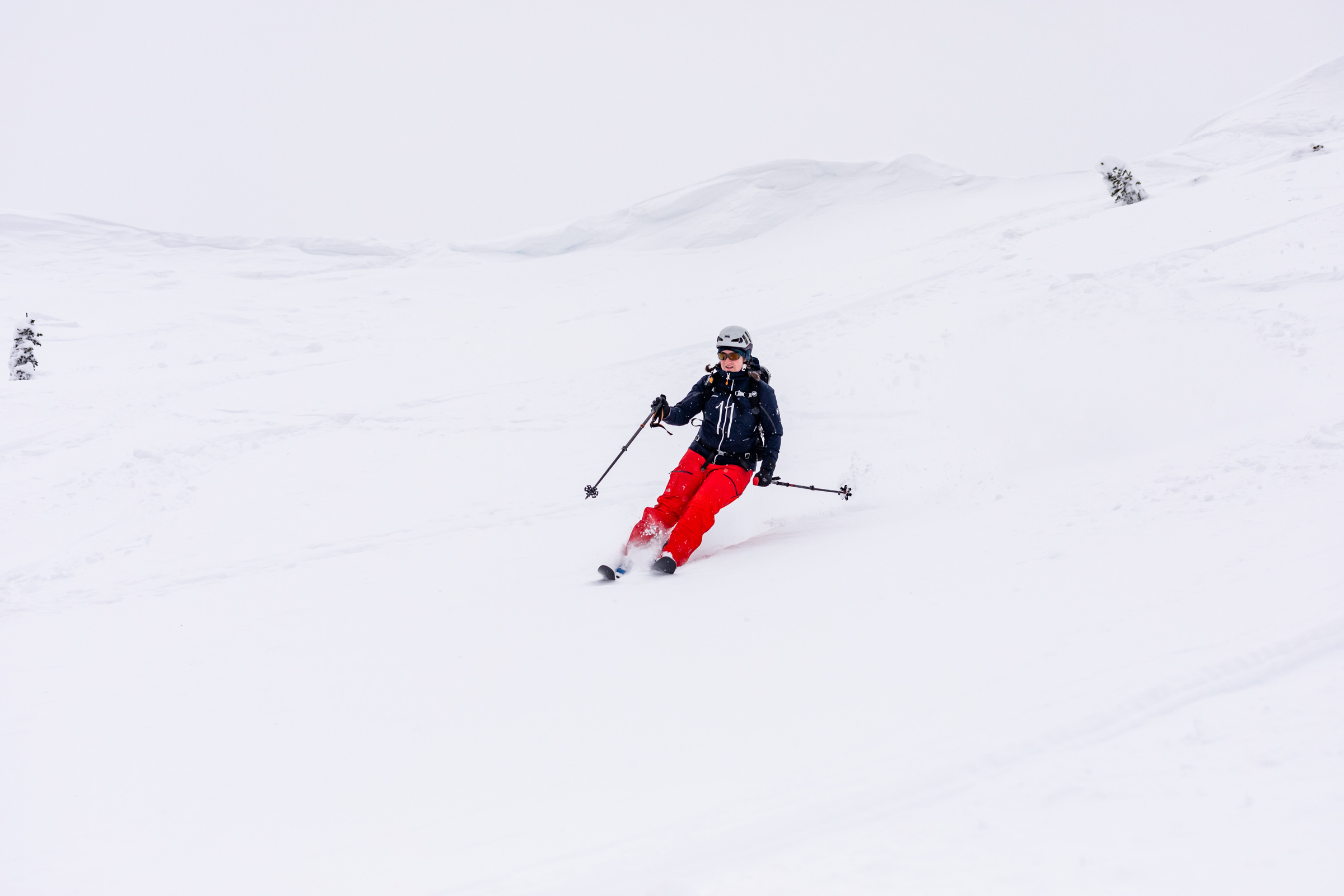
This is a continuation of the the ultimate beginner’s guide to backcountry skiing in washington outlining the practical part to getting into touring and featuring 25+ low-angle ski tours you can try out! Basically these are fairly straight-forward tours that you can do (snow and weather condition dependent) with generally open non-avalanche terrain.
Disclaimer: As always, please use your best judgement, these are only recommendations from personal experience, I am not a professional guide, so be safe out there!
your first ski tour
Everyone has a different start to ski touring. A friend took me to a nearby hill. Another friend started hers on a volcano. Some experience their first tour during their AIARE 1 course. And many more started at their local resort. Here’s an explanation of all the options:
Practice at a ski resort. In the safety of a ski resort you can explore how all the gear works, practice the motion of going uphill and transitioning. In the resort, you can bail whenever you want or keep doing more laps. If you go before the resorts open for the season, you can also get a taste of backcountry snow on terrain that you’re probably more familiar with. Check with each resort to see what their uphill policy is. The benefit of touring inbounds is that you can safely go alone in most cases. And you can also test out any new gear before committing to an outing. On a similar vein, you can also practice on cross country groomed tracks such as Amabilis, marked as difficult for xc skiing but more like a green for alpine skiing. You can also use this to practice downhill skinning (with skins on and heels unclipped) on green runs.
Find a friend or mentor. This is my favorite method! I’m a huge fan of mentorship through friends if they are nice and patient enough to ease you in. Or throw you in the deep end! I would not make the assumption that your friends will want to help you every step, but if they do, they are offering a gracious hand. Some of the best advice I’ve gotten has been little comments friends have given me as I struggle through something. Take those comments and work on your technique and you’ll keep improving from there! And soon, hopefully, your skills will become more compatible on tours that both of you will find enjoyable.
Try a volcano. It may sound daunting, but if you are fit and a solid skier, these should come fairly straightforward. There may be other struggles but the path will be easy to follow in clear weather. Camp Muir is probably the most common ski done for people who are seasoned “Turns All Year” skiers or beginners. I took a couple friends up who walked up in hiking boots and carried their ski gear in backpacks and transitioned to their resort skis for the downhill. Where else can you get that full 4500 ft of descent? Actually Mt St Helens is another great mountain to ski, though a little steeper than the trail to Camp Muir. And lastly, the south side of Mt Adams. It’s nearly 7000 ft of gain if you go in a day, plus an altitude to 12k ft. Be careful of getting altitude sickness if you attempt it. These three are great for their wide slopes, mostly intermediate runs, and lack of trees. Depending on the season and weather, the snow might be tough to ski for newer skiers.
Take a course. Please note that AIARE courses do not teach you how to use your equipment. Although you may find an instructor who will give a helpful tip or two to get you going. For the sake of the entire class, it’s good if you can do a little practice before taking the course (i.e. inbounds, obviously not into avalanche terrain unless you’re willing to risk it). What I’m referring to are courses specifically for an intro to backcountry skiing. Many guiding companies have these courses and a few more nonprofit groups also offer these. If you can afford this or get a scholarship to take one, I think this is one of the best ways to get into backcountry skiing because it is structured and provides a relatively controlled environment. As in the guides will keep your skill level in mind when choosing where to go and assist you as needed, whereas your friends might not know as many nuances to teaching the skills.
- Ski Divas hosts an overnight intro course
- SheJumps hosts many intro classes throughout the season
- Edge Outdoors meetups and intro to backcountry skiing
- Climbers of Color backcountry touring leadership
How do I plan a ski tour?
So maybe you’ve done a short tour or two. To be an equal partner, even if your ski partner is more experienced, it’s good practice to be involved with trip planning. For example, you have the power to raise questions about the terrain and weather. It’s important that you know your skill and ability and be able to convey that to your partners. More than likely they’d be willing to adjust the trip so you can have a happier time out there. You may be gathering a list of places as they show you around, but here’s some resources I use to plan my trips.
I always begin with checking the forecast and asking friends if they are free. Knowing who your ski partners are can drastically change where you go, just as much as weather. I typically use Windy to check a few forecast models. They have several including MeteoBlue and NOAA (NAM). I look at temperature and precipitation. If I’m also looking for views or general weather, the clouds feature is helpful. For a vertical stacked model of the cloud layers, expanding a dropped pin allows the meteogram tab to be shown. I won’t go much into detail for predicting avalanche risks, but generally, any big changes in weather can cause big changes in the snow, like a snow storm or sudden warm sunny days. As the days get closer, I’ll read the NWAC avalanche reports more closely and see how it matches my rough prediction. If you want a layman’s explanation of PNW weather, Kyle does a great job talking about it in his 4-part weather blog.
Generally speaking for Washington, the early months November-February are when our snowpack begins to build up. Rocks and trees aren’t fully covered in the first couple months, and collapsing snow bridges and open creeks are a real thing. As you head towards spring, this is where I think it’s friendlier ski terrain for the new skier. The days are also longer and more pleasant with sunshine. A type of snow called “corn” develops through many freeze-thaw cycles, so when the sun softens the snow late morning/early afternoon, it creates the perfect layer of snow. As much as people search for powder in the winter, they search for the corn in the spring. To me, it skis similarly to a resort. This ends around May when most of the snow has melted and no longer accessible straight from the car. Turns-All-Year people will continue searching for snow patches even in the summer to keep their monthly streak going. But by June, a lot of snow is sun cupped and bumpy, and not so pleasant as you’re gearing up for your summer hikes!
Meanwhile, I’ll probably have selected an area. If given a choice, I’ll often go to a place I haven’t been in a while, out of pure personal preference. Sometimes you might want to chase the powder. My next website I’ll visit is Caltopo. With their angle shading feature, you can see how steep slopes are. For beginners, you’re likely wanting to stay out of any coloring to keep angles < 27 degrees. This also means you won’t be traveling on avalanche terrain, so that’s a bonus. However, you still need to watch out for overhead hazards, when the terrain above you might avalanche and run into your path. Staying on mellow ridges is a good option since you’ll be out of fall line, but not always possible especially in the Cascades. For reference, black runs inbounds will start to touch 30 degree slopes and most terrain in Washington if you want to get far will pass through 30 degree terrain. That’s why people say you should be okay with black runs before going backcountry. Caltopo is also good for overlaying satellite imagery so you can see how dense a forest might be or if slopes are more open (rocks in the summer).
Like most outdoor trips, start small and work your way up. And have lots of backups and bail options. There’s so much I could go into for considerations when picking terrain due to all the variables, so I’ll just share some of the basics. On low avalanche risk days, you may feel free to travel out of tree line into the open. But in higher risk days, everyone will be tree skiing to avoid the unstable snow above the trees. It’s useful to be able to have control of your turns in tighter spaces when needed in cases like that. Furthermore, many ski tours begin in the trees before opening up in general, so get comfortable with the trees. The more trips you get out on, the more you’ll deal with different conditions, which means you’ll be getting more confident on tackling whatever the mountain throws at you. No amount of resort skiing even off-piste will equate to time spent in the backcountry. There’s just a different level of shenanigans to deal with. But over time, you’ll find that you’ll be more willing to go further and slowly push the limits of what you can do in the backcountry.
It’s hard to say exactly what skills and equipment are needed for any particular trip since it varies greatly on conditions. It takes some experience and mountaineering knowledge to fine tune what gear you’ll bring or what skills are required if you’re bringing a new friend. Below are some of the more straightforward trips you can look more into for beginner friendly tours!
Beginner Friendly Tours
Mt Baker
- Artist Point. This is a short tour and generally out of avalanche terrain if chosen correctly. Above tree line. Park at Heather Meadows.
- Bagley Basin. Lots of lower angle and open terrain. There are overhead hazards. You could venture to Herman Pass or around Table Mountain. Above tree line. Park at Heather Meadows.
Stevens Pass
- Tonga Ridge. More of a traverse, but you can practice lots of transitions going up and down the mellow slopes. Mostly above tree line. Park as far as you can drive to the start of the (normally) snowshoe trail.
- Grace Lakes. This is to the side of Stevens Pass. It’s a common snowshoe trail, so it might be a tad flat. Near tree line, but open if you follow the trails. Park at the upper ski resort lots (go before they open).
- Skyline Lake. This is hardly backcountry if you stay on the forest road to the lake. It’s narrow with lots of people if you descend this way too. For the more adventurous, you can descend the back side and get to Tye Peak. It’s like a resort cat track if you take the road down, otherwise it is in the trees for descending. Park at the upper ski resort lots (go before they open).
- Smithbrook. Take the forest road up and explore around Mount McCausland or Nason Ridge. Depending on where you go, there’s some amount of trees, but decently low angle. Parking along Hwy 2 at the long pullout area.
- Yodelin. Common beginner touring area. There’s some treed areas but terrain is mellow. Park at the lower ski resort lot.
Snoqualmie Pass
- Source Lake, Pineapple Pass, Snow Lake. There may be some short sections that are quite steep for the beginner but overall, lots of open terrain. It may difficult to find the luge track to get out to the parking lot and some side stepping involved. Helpful to have someone show you the way first. The majority of skiing is open and without trees. Park at the lower Alpental lot.
- Kendall Knob. There’s several variations but the simplest way is via the south side. You can come down the same way or catch the Commonwealth Basin luge track out. You can also explore the Kendall Lakes for a further tour. This route is fairly tree-d, best for those who can navigate and tree-ski. Park by Snoqualmie Summit West lot.
- Silver Peak. I enjoy this one in the spring when you can drive closer to where the PCT crosses the forest road. The north bowl is very pleasant! You can also approach it form the Annette Lake trailhead. Nearly no trees to ski near. Park as high up you can on FS 9070 – best late season when road is melted.
- Roaring Ridge. I think also called Christmas Tree Bowl. Start at Hyak, go along the cross-country skiing trail and then cross a creek to get up to the ridge. There may be some short trees poking out for your descent, unless you go back down the forest road. Park by the Hyak ski resort lot (otherwise park at Hyak Sno-Park).
- Gold Creek Ridge. This is a bit more adventurous but remains in low angle terrain. Start from the Gold Creek Sno-Park and keep left and through gates to an old forest road. Ride it high while avoiding steep overhead terrain and eventually find your own way to the ridge. Go down the same way or take the south ridge back to the road. This will have some trees and more elevation gain.
- Mt Margaret. This is nice and away from avalanche terrain. It’s a couple miles to skin from the Sno-Park to the true trailhead. I’d advise taking the road as far as you can instead of the hiking trail to avoid the lower dense trees. Above, you’ll find spacious old growth forest, easy to ski between. Start at the end of the road at the Sno-Park past Gold Creek Pond.
- Keechelus. Personally have not been here, but I suspect it’s similar to Mt Margaret with some road skinning and open trees. Skiing on road is generally smooth sailing like the resort. Park at Crystal Springs Sno-Park or a pullout along Kachess Lake Road.
- Amabilis. This less backcountry since there’ll likely be a groomed nordic ski trail all the way up. Stay in the middle of the track to avoid destroying the classic ski groves on the sides. Park at Cabin Creek Sno-Park.
Cle Elum
- Hex Mountain. Fairly popular snowshoe trail. Can be done as a loop, but possibly easiest as out and back (on the left side of trail). No trees if you stay on trail and plenty of open areas for laps too. Park just before the trailhead at a pullout.
- Red Mountain. Walk on road for about a mile before heading uphill on the low angle open slopes towards Point 5360. This avoids the thicker trees. Park near the bridge at a designated parking area.
- Salmon La Sac Creek. Go up the mellow slopes after crossing the creek to the first peak along the ridge. Low tree density. Park at the Salmon La Sac Sno-Park.
Blewett Pass
- Everything around here is quite open and mellow terrain. Try Diamond Head or Tronsen Ridge. Park at Blewett Sno-Park for Diamond Head. Find a small pullout for Tronsen Ridge by NF-7230.
Rainier
- Paradise. There’s plenty of low angle and tree-less terrain without going all the way to Camp Muir. Areas like Edith Creek or the Skyline Trail. You’ll still need to be aware of avalanche danger in certain areas. Park at Paradise – National Park Pass required.
- Camp Muir. Classic line to ski. Usually there’s loads of people headed up. Just don’t get lost coming down especially in a whiteout! There’s an advanced option (steeper, in avalanche terrain) to ski the Nisqually Chutes, which is the lower half of the Nisqually Glacier runoff — it’s fall line from the Muir Snowfield. Place a car at the bottom by the bridge and at Paradise. Virtually no trees up and down Camp Muir. National Park Pass required.
- The Castle. You can mostly follow the summer trail up from reflection lakes. The Tatoosh also offers more interesting terrain if you’re into that. Some light amount of trees near Reflection Lakes. Park at Narada Falls. National Park Pass required.
- Crystal Mountain. The resort allows some uphill travel. Norse, East, and Platinum Peak are great areas for beginners. Trees are sparse and the bottom tracks are like luge tracks sometimes shared with snowshoers. Park at the Crystal Mountain resort, pay to park unless 4+ carpool or you have a ski pass.
South Cascades
- Mount St Helens. Take the standard approach from Marble Mountain Sno-Park. Luge track helps you get through the mellow terrain and trees at the end. Permits required April 1 to Oct 31.
- Mount Adams. South climb, very strenuous. Many like to opt for the SW chutes for a more exciting descent, but it requires a bit of uphill at the end to get back to the parking. No trees. Permits required May 1 to Sept 30.
Olympics
- Hurricane Ridge. There’s a lot of short mellow terrain by the road and even the little ski hill within the National Park. Most start from the road and go downhill and avoids trees. Mt Angeles goes up from the road and goes through some trees. National Park Pass required.
For an interactive map of all these locations, use this caltopo tool I made! The color shading is the standard Caltopo shading. Generally if you avoid the slope angle shading, you’re out of avalanche zones (but pay attention to overhead hazards). At the same time, you’ll probably want to avoid overly flat terrain where you couldn’t ski – especially for splitboarders. This is shaded in the blue tones.
It may be intimidating to pick a route just by looking at a map. But there are many other ways to find well-known tours. Books like the Mountaineer’s Volken book has been in many people’s repertoire, among many others that are local to your area. My friends and I particularly like the spiral bound series by the Beacon Guidebooks. There are also many facebook groups and some online forums that offer trip reports, such as Turns All Year or some of the groups I listed above. Be careful about taking other people’s GPX tracks because what works for them may not be the same the day you go. They are great as references though.
There are also many blogs where people write their trip reports. For my trips, check them all out here. My friend Madelynn also has a blog A Mess in the Cascades and is quite methodological about sharing, like a whole table showing the days she was out skiing vs the avalanche conditions. For more advance trips, check out my friends at ClimberKyle and Sam at Engineered For Adventure. They’re always dreaming of amazing routes and it’s a treat when they offer to spend a day to ski or hike with me.
For more tips and tricks on ski touring, read my companion guide. I hope this guide has been useful for you, and as always, feel free to comment or question! And most importantly have fun and be safe out there!
Curious about getting into backcountry skiing? Check out my other blogs here: