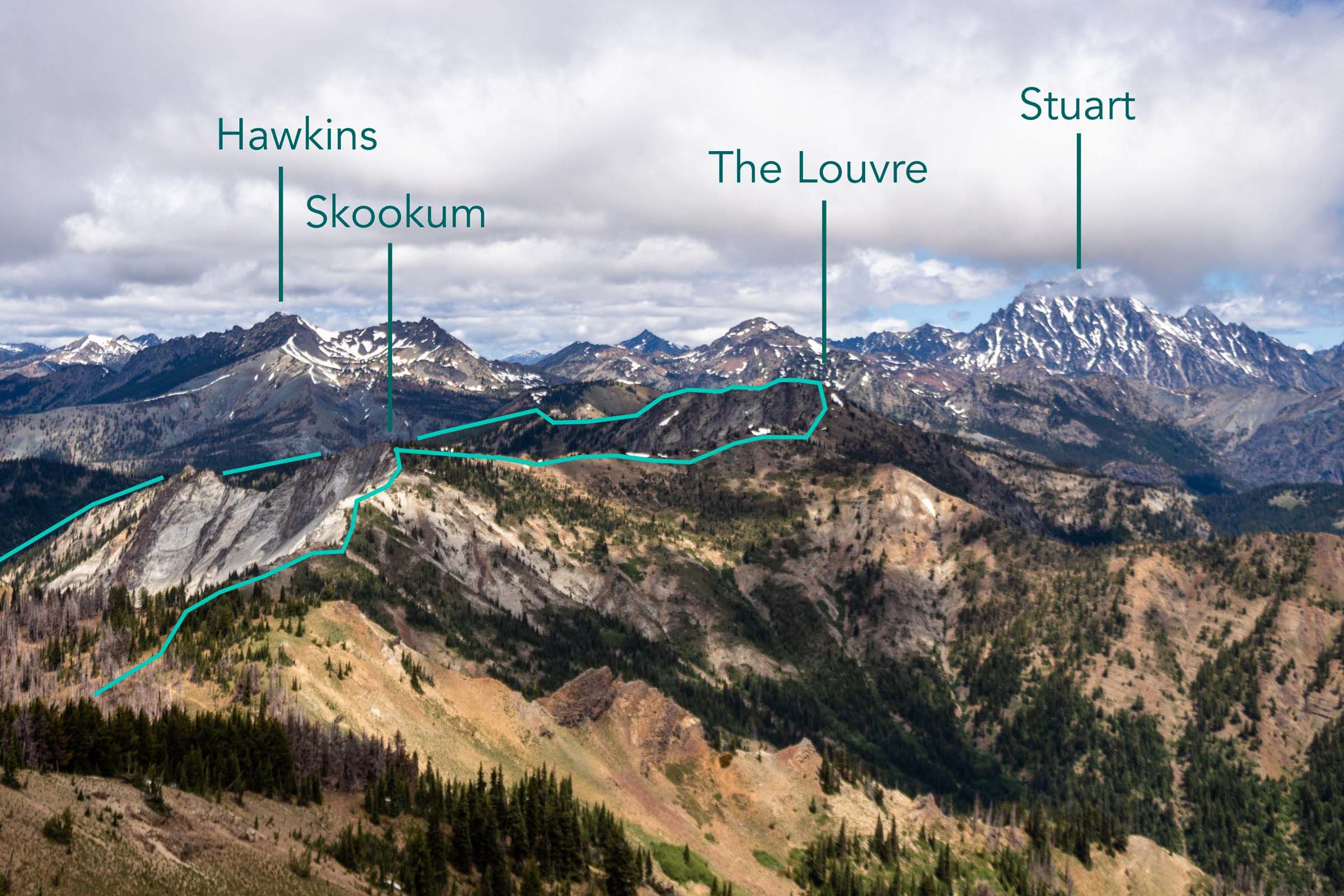
early season exploration | hex mountain ski tour
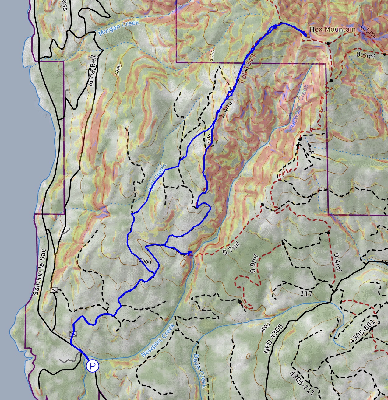
8 miles . 2700 ft gain . 5050 ft high
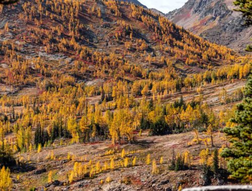
Okanogan-Wenatchee National Forest
Sometimes you just need a ski tour that still feels like you’re getting out there (aka not next to a ski resort) but also chill enough to make sure you’ve still got all the skills. While you’re always operating on many backup plans when ski touring, we ended up deciding last minute for this one because we didn’t want a flat road walk. Though 1 mile of flat road is really not the end of the world. I’ve always wanted to scout out Hex Mountain because it is quite known to be a great snowshoe hike where you stay on the ridge and avoid avalanche terrain, but I wasn’t entirely sure how it would fair.
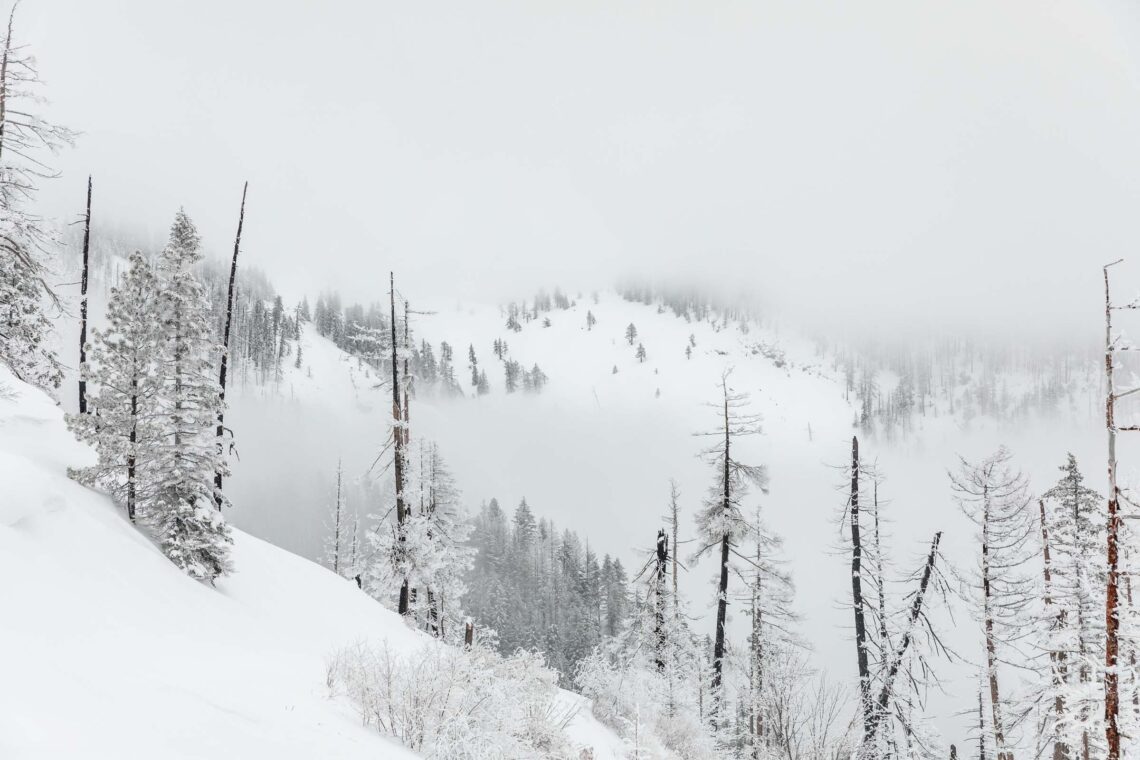
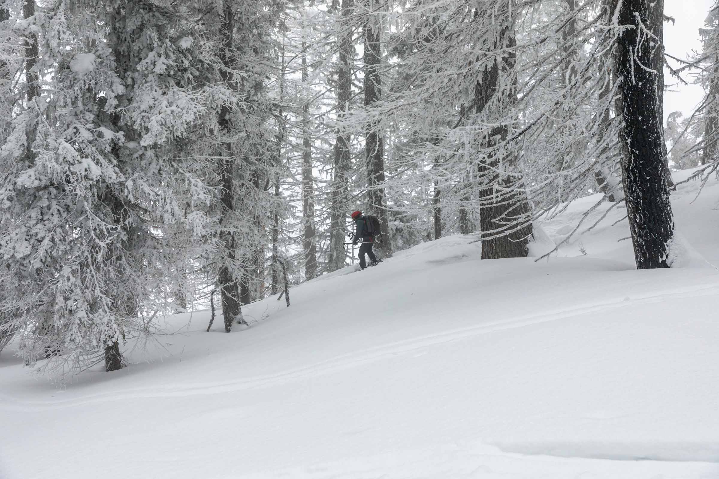
Happy to see someone set a skin track already, we started skinning right from the car. The Salmon La Sac road is amazingly plowed all the way to the end of the winter road at the Sno-Park. There were only 3 other parties that we saw. A solo tourer, a party of 2, and a party of 3. None were particularly on a mission to get anywhere, so it was nice to just cruise along without much pressure to do anything wild and crazy. After all, the avalanche danger was forecasted as considerable, so we really wanted to play it safe by avoiding any 35 deg terrain. Surprisingly there were no snowshoers to be seen for a typically popular snowshoe trail! It seemed the weather deterred the snowshoers.
Originally, we wanted to do a counter-clockwise lollipop loop around the ridges of Hex Mountain. On a map it seems doable, but in reality, it’s quite difficult to cross Newport Creek. In the summer without snow, it might be straightforward, but in the winter, snow banks are high and there’s no way you could reasonable get down the 10-foot snow bank, cross the river, and up another 10-foot snow bank. Plus the creek would be in the center of an avalanche bowl and we wouldn’t want to linger there. Good thing we checked this route before returning to the main trail going clockwise, or else we’d likely be a bit more stuck. But if we did do a clockwise loop, if we got “stuck” we could’ve just skied on that south side of the creek until we reached the main road. Not a huge deal!
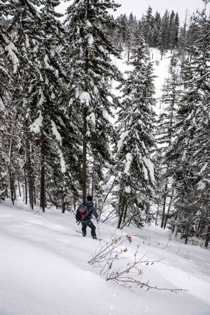
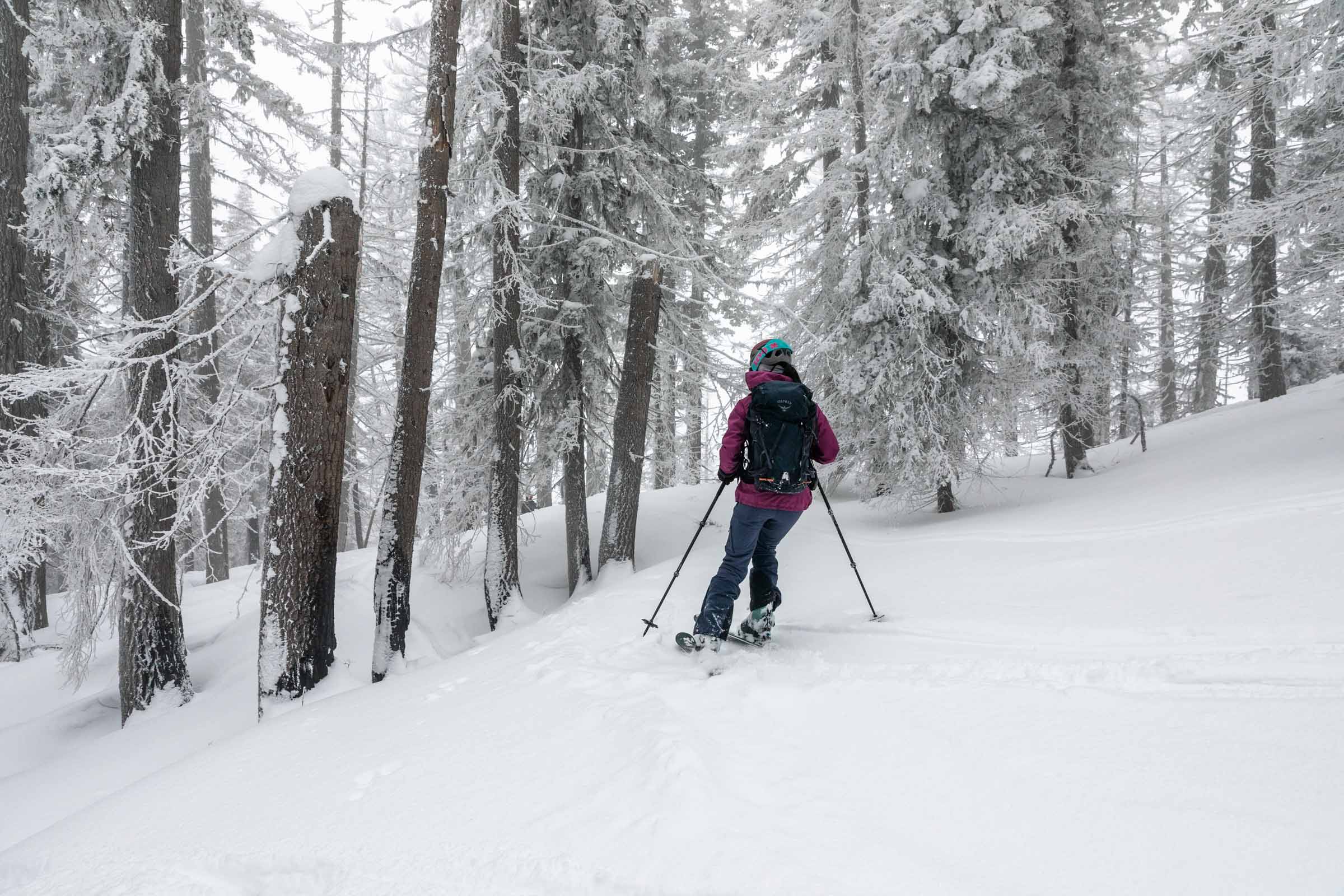
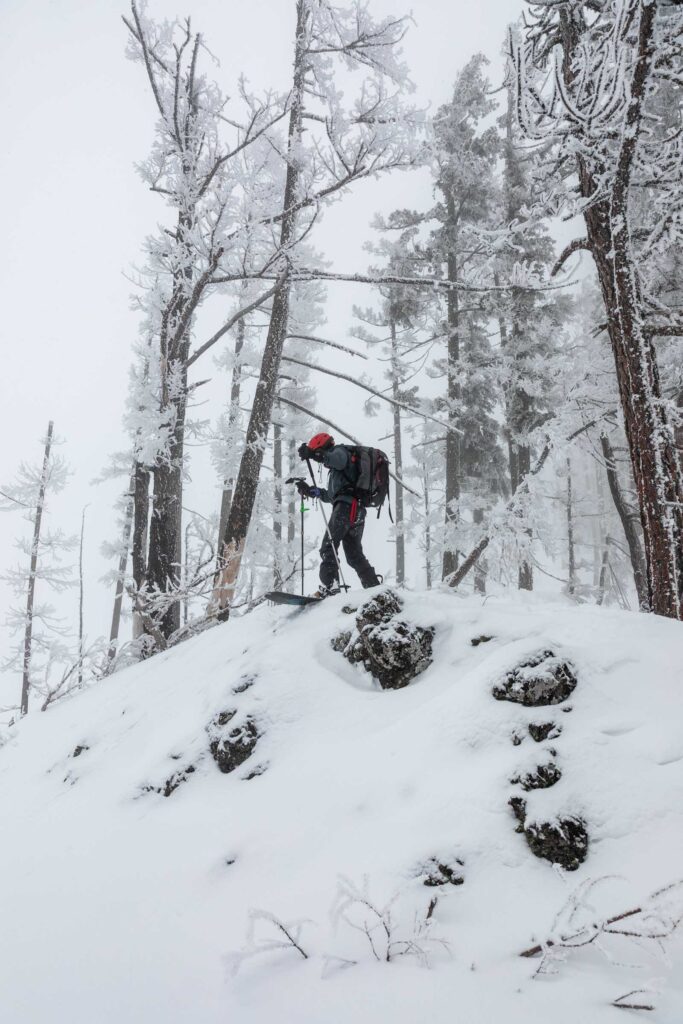
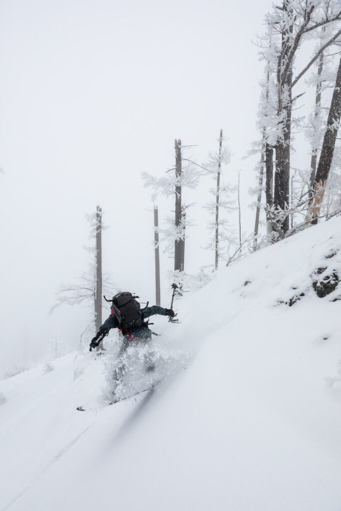
Now with a toned-down plan of out-and-back, we took our time gaining. For one reason or another, we all felt heavy legs and thankful for a shorter tour. Climbing the ridge, no switchbacks were needed for the mellow grade, except to bypass a tree or two. On the summit ridge, we decided to bag the true peak before transitioning to ski mode. We took our chances on the flat summit traverse headed down. And the whole way back, we tried staying on the ridge, but it was harder than we thought because we kept wanting to find steeper terrain for the soft snow. We ended up a bit off the uphill track, which ended up being fine since we could take old forest roads back to our up track for a slicker downhill than trudging through bushes in the thinly snow covered lower terrain. Moral of the story: try to stick to the ridge and take your own up track downhill when snow is thick and the terrain is low angled!
Notes
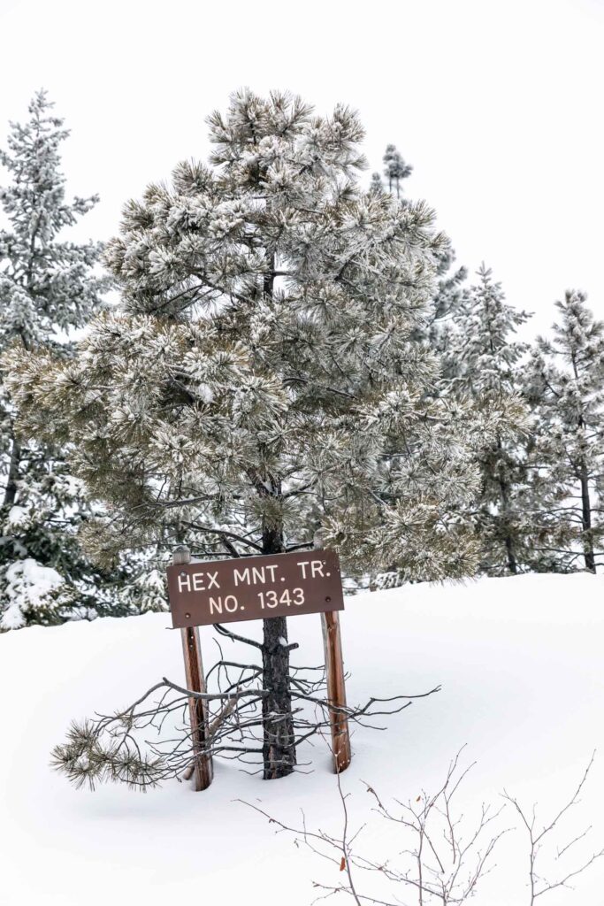
- Park just a hundred yards before the true trailhead. There’s a pullout spot that fits maybe 10 cars parallel parked. There’s more parking if you search up and down the road for the parking signs. Be courteous where you park your car so you don’t block private roads or get plowed into!
- There’s a few Sno-Park lots if you decide to tour elsewhere/park cars there. Be sure to get your pass ahead of time! It’s $25/day or $50/season and is different than the normal Discover Pass for Washington State Parks since this is a winter privilege for having areas plowed.
- For more beginner ski touring tips and a list of places to go, check out my guide: the ultimate beginner’s guide to backcountry skiing | washington
Photos taken on Canon 5D Mark IV


You May Also Like
gatorade blue | panorama ridge via helm creek
technicolor larch dream | chiwaukum loop