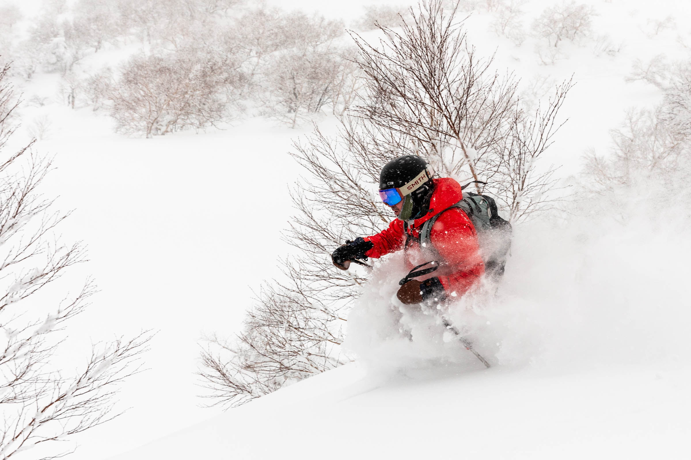
fresh powder | kaun bowl at mt furano hokkaido backcountry ski
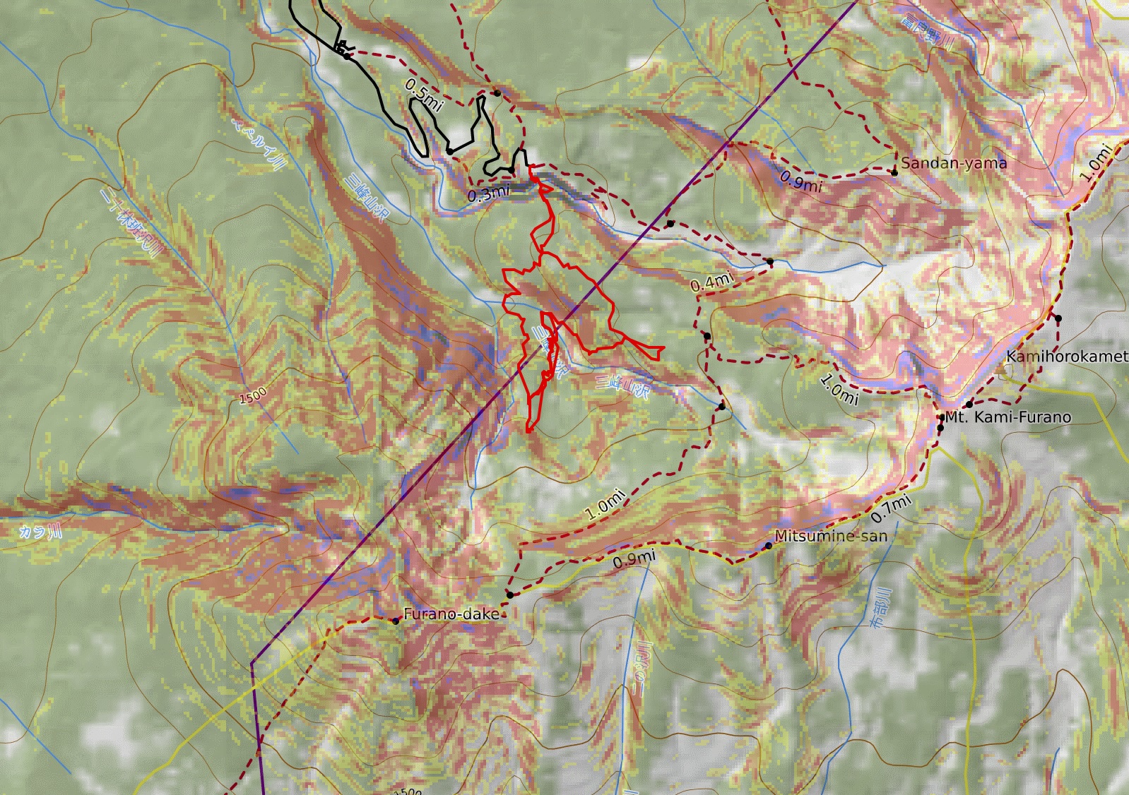
4 miles . 2730 ft gain . 4800 ft high
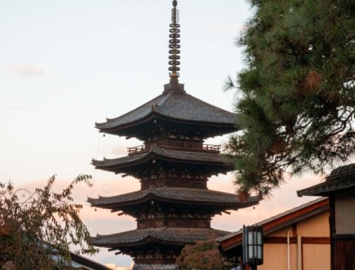
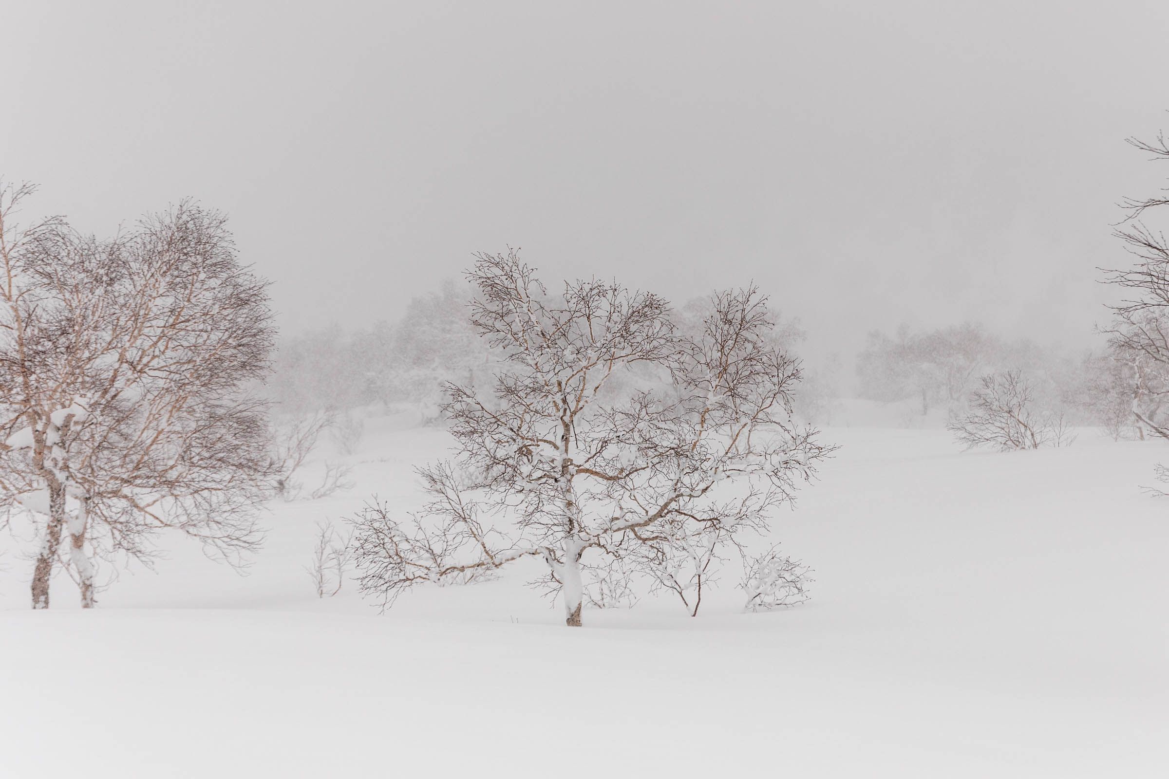
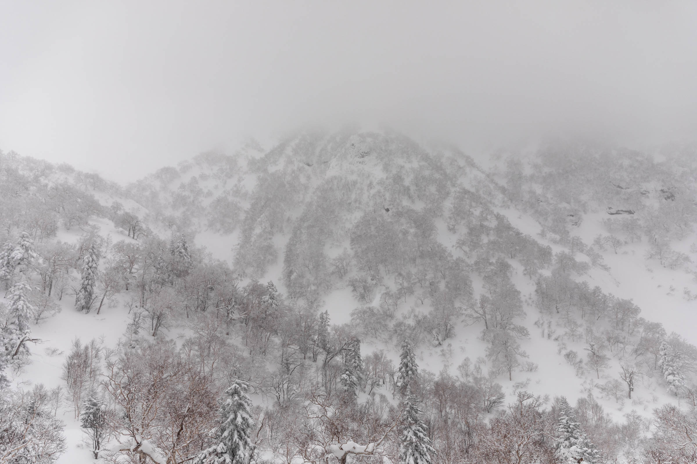
Daisetsuzan National Park, Hokkaido, Japan
Skiing in Hokkaido is definitely one of those life experiences that really meets and exceeds expectations. We decided to go unguided and explore the mountains on our own. It just seemed fun to explore some low angle terrain at our own pace, though having a guide would have saved some guess work.
Disclaimer: This is merely my own experience transcribed into this trip report meant to bring insight to what I felt and saw. If you are inexperienced, I highly recommend hiring a guide for the most expertise.
Basecamp: Kamifurano
You can choose where you want to be based out of but the central mountains of Hokkaido were a huge draw, plus hearing about people ski Asahidake. Based on cost and proximity to where we generally wanted to ski, I chose Kamifurano. It’s about 30 minutes from Furano, the town that is adjacent to the ski resort also called Furano. However, it was a solid 45 minute drive to where we rented the skis from in Yamabe section of Furano. So we picked up backcountry ski rentals the day before at Alpine Backcountry Guides and Rental. The shop was solid and owned and operated primarily by Australians.
This ski trip was a mixture of inbounds and backcountry in different regions. So for that reason, we decided it was worth paying a little extra money for ease of travel. I couldn’t imagine having to pack wet skis into half clean, half dirty clothes to fly with the same day we ski! Or you could have more buffer days. Haha! Overall, we played it by ear for which days to stay inbounds at a resort or to ski tour, so we didn’t book rentals till last minute. Generally this worked pretty well since I wasn’t so picky on skis. We did bring our own boots and helmet etc.
A little intro to Japanese town names: lots are named after a central town and then neighboring towns will be named relative to that one. The most common prefixes are: kita (north), minami (south), higashi (east), nishi (west), kami (upper), naka or chūō (center). Other common landscape names in towns: kawa (river), yama (mountain)
Anyway let’s talk skiing!
Planning a Ski Tour in Hokkaido
When you plan for something in a new place, you definitely need to dive deep. All the links are in one location at the notes at the bottom of this trip report.
Where to find a ski tour
My default coming from Washington is always Caltopo. It never lets me down! I’m used to coming up with new, creative ski tours and reading the topographic map so it came rather easy to me. However, for most people, it is always a recommendation to hire a guide whenever you’re going somewhere new. You never know what the conditions might look like and what is more or less popular. From Caltopo, I got to understand the general terrain of Hokkaido. There’s a lot of non-avalanche terrain but there is definitely also serious avalanche terrain and plenty of terrain traps to be aware of. I think the hardest part is figuring out what is open enough to ski and avoiding purely flat areas.
So then I found Hokkaido Wilds, which is an incredible resource. Thank you for reading my blog, but I would point you to their direction for finding regular ski tours. When you’re traveling to a new place, it’s not really your goal to be creative and finding new tours. So I used both Hokkaido Wilds routes and Caltopo to understand the situation and potential travel routes. The great thing about Hokkaido is that snow comes frequently and the slopes refresh so don’t worry about not finding fresh tracks!
Checking Conditions
The next step is to start reading avalanche reports and weather forecasts in the 2 weeks prior to your ski tour. You need a baseline understanding of what’s happening. Don’t fall into the trap of “oh I’m going to have fun skiing, everything will be alright”. There’s a statistic about 80% of all backcountry rescues in Japan (or Hokkaido) are foreigners. It kept running in my mind that I didn’t want to add to that statistic.
All that to say my go to places for conditions:
- Nadare the avalanche center for all of Japan. For Furano, select Central Hokkaido
- Windy my go-to wherever I am around the world. I like seeing the cloud layers
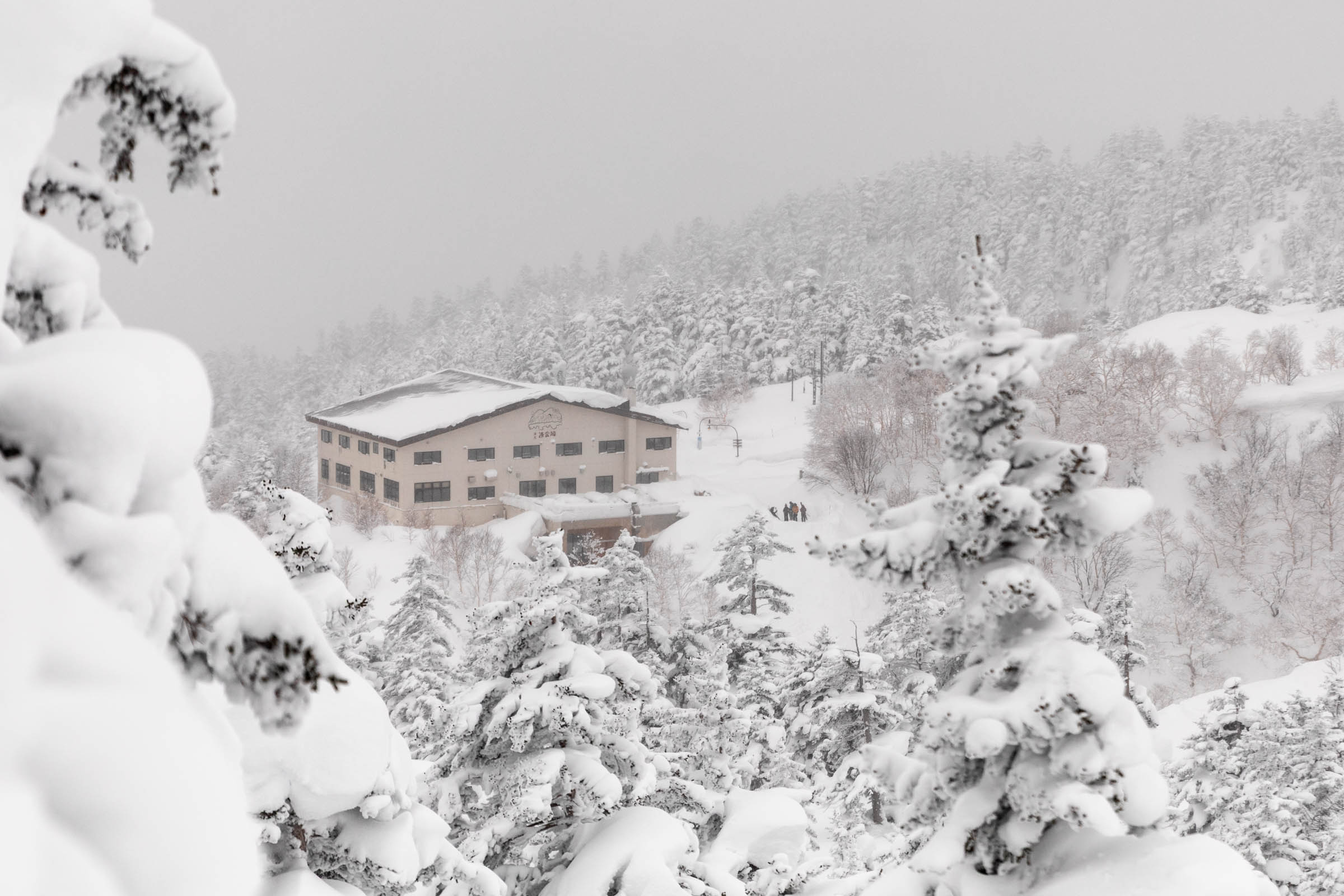
Additional resources are other weather forecasts that you like and nearby ski resort reports, such as the Furano Ski Resort. Sometimes they’re telling about the conditions but sometimes you just don’t know. I was able to get in one resort day before ski touring and it was very helpful to get a basic understanding of what potential snow laid in the region.
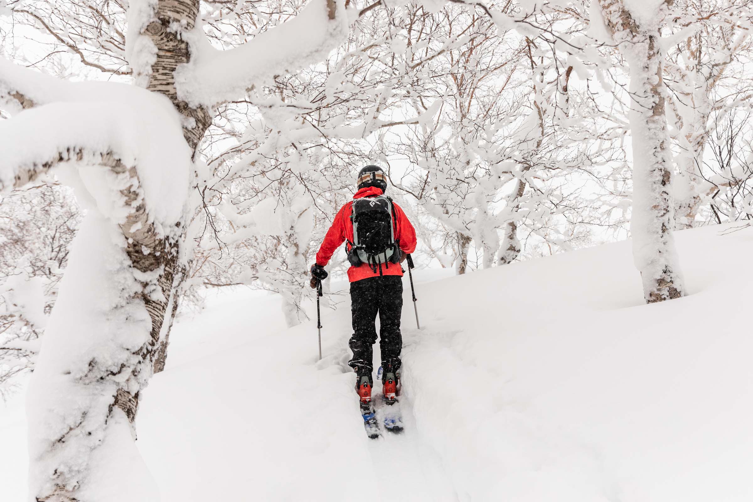
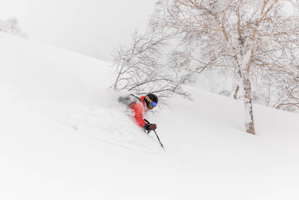
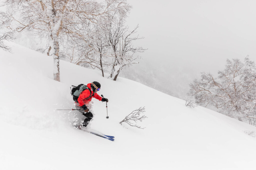
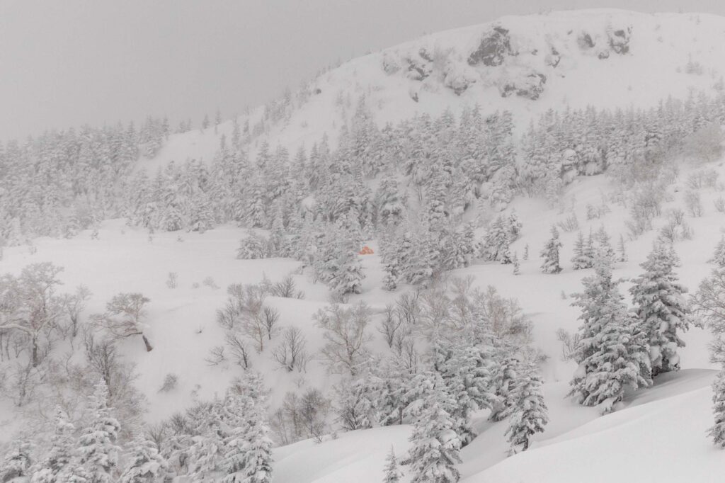
The Ski Tour: Kaun Bowl
We decided on Kaun Bowl area (just under Mount Furano) because it seemed approachable for the heightened avalanche conditions and was a short 30 minute drive from our hotel. Basically we just drove to the end of the road (291) if you point to Tokachidake Onsen Hot Springs. On the drive up, we passed by another popular trailhead at Tokachi Dakeonsen next to the turn off to Road 966. At our trailhead, no one was there until one van filled with a guided tour pulled up.
I really should’ve read the route description better because we put on skins and everything just to get to the edge of the trail and realize that we had to descend to the base of the steep slope to cross the Nukkakushifurano River. Good thing we had the guided group to follow! (massive face palm moment) Unfortunately for me, a few tourists decided to film me skiing (aka falling) down this short hill. It was definitely hard for me on new skis and on a new slope that proved to be much icier than expected. I couldn’t find my edge at all! No photos here, sadly. Too traumatizing I suppose. But at the bottom we were able to put skins on and follow the great track the other group set.
Soon we caught up with the guided group and decided to keep heading up the ridge. The hard part of this was deciding to keep going and breaking trail and find our way back over to Kaun Bowl or not. The group really took us astray from our original intent but we liked the ease. We used caltopo to make sure that we wouldn’t end up in a terrain trap and eventually turned around after gaining about 900 feet of elevation.
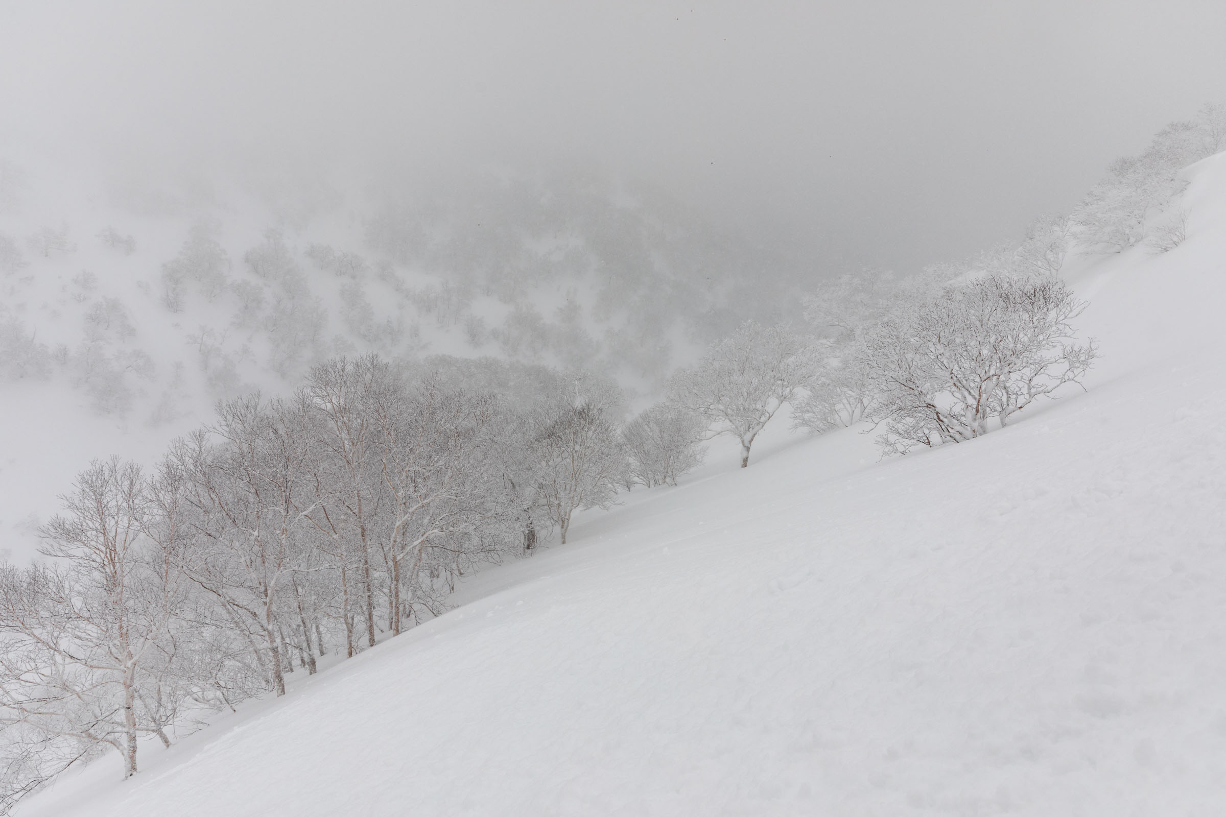
It was flash back to Roger’s Pass when we turned around due to low visibility conditions in a new place. Not a fun feeling even if you know you’re capable. My emotions are too easily swayed by the weather. I felt much happier turning around. We carefully picked a low angle slope to continue through a valley but ended up accidentally traversing much further under a steep avalanche hillside. Not our best moment, but we felt the risk slightly lessened by the evidence of trees (no past slides) and the fact that it was short.
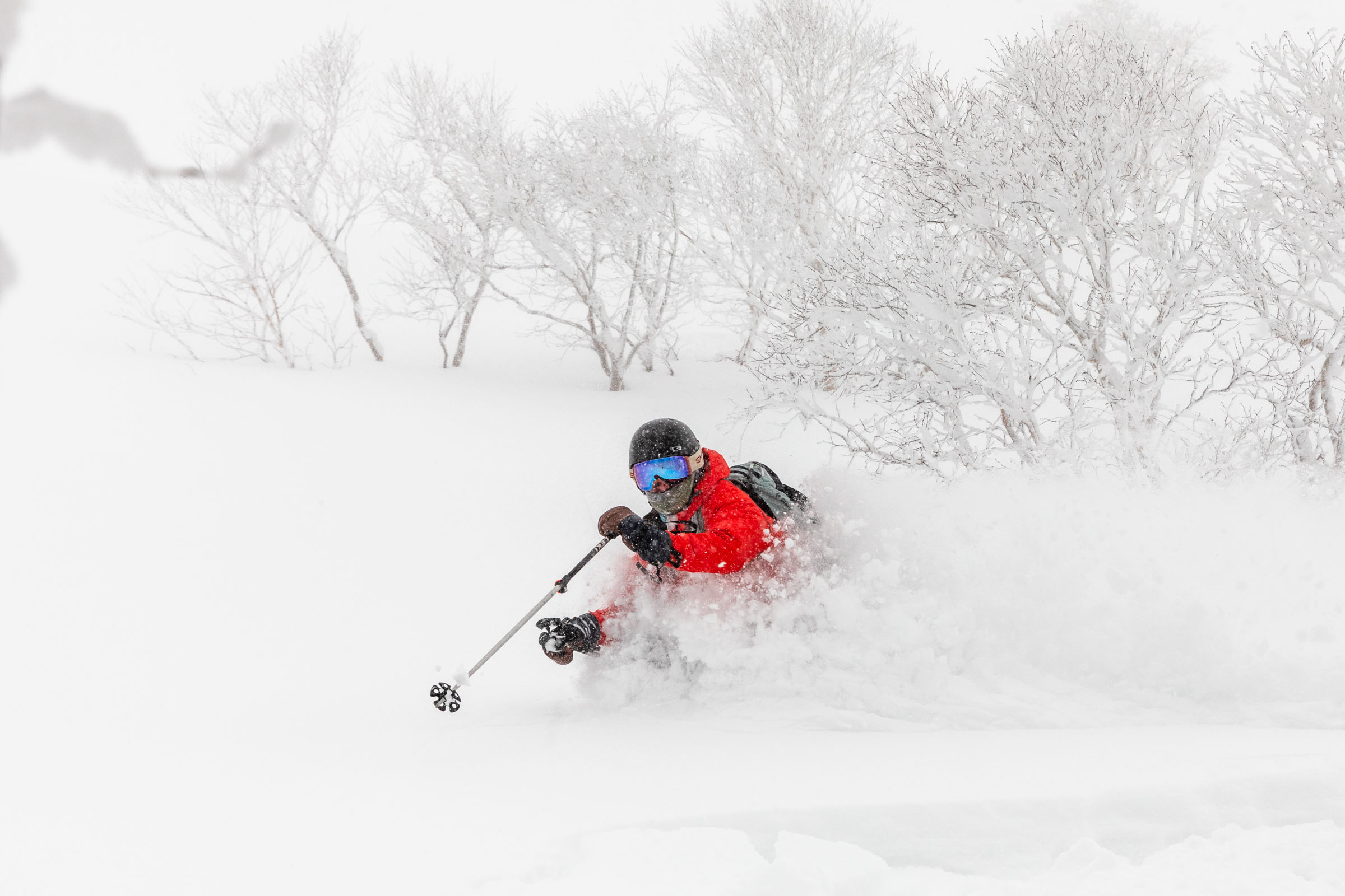
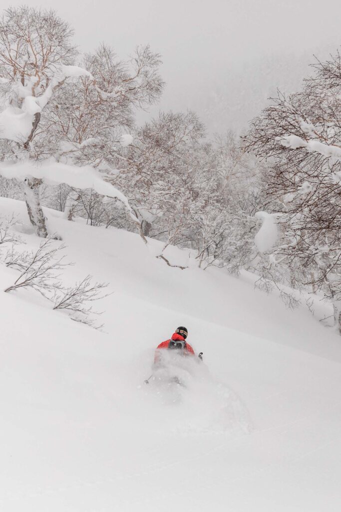
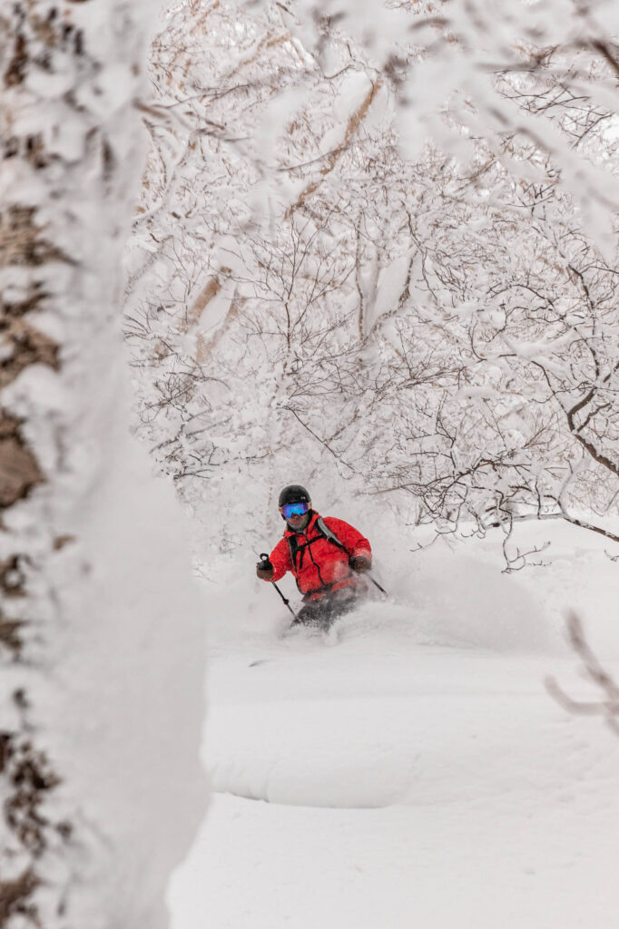
As I was ready to call it quits, we reconsidered our original plan to head up Kaun Bowl. The snow seemed better, we could follow the trees instead of being in a total white out. That seemed promising! So we kept breaking our own trail. Shout out to the convenience store onigiris for keeping us well fed.
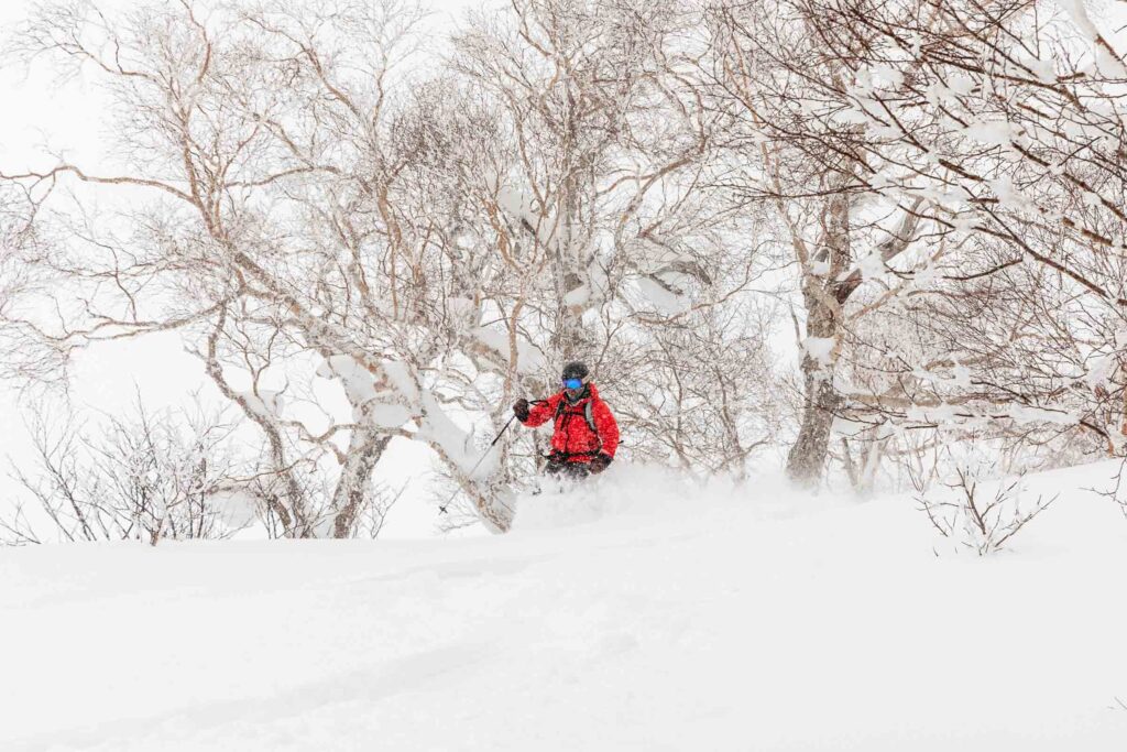
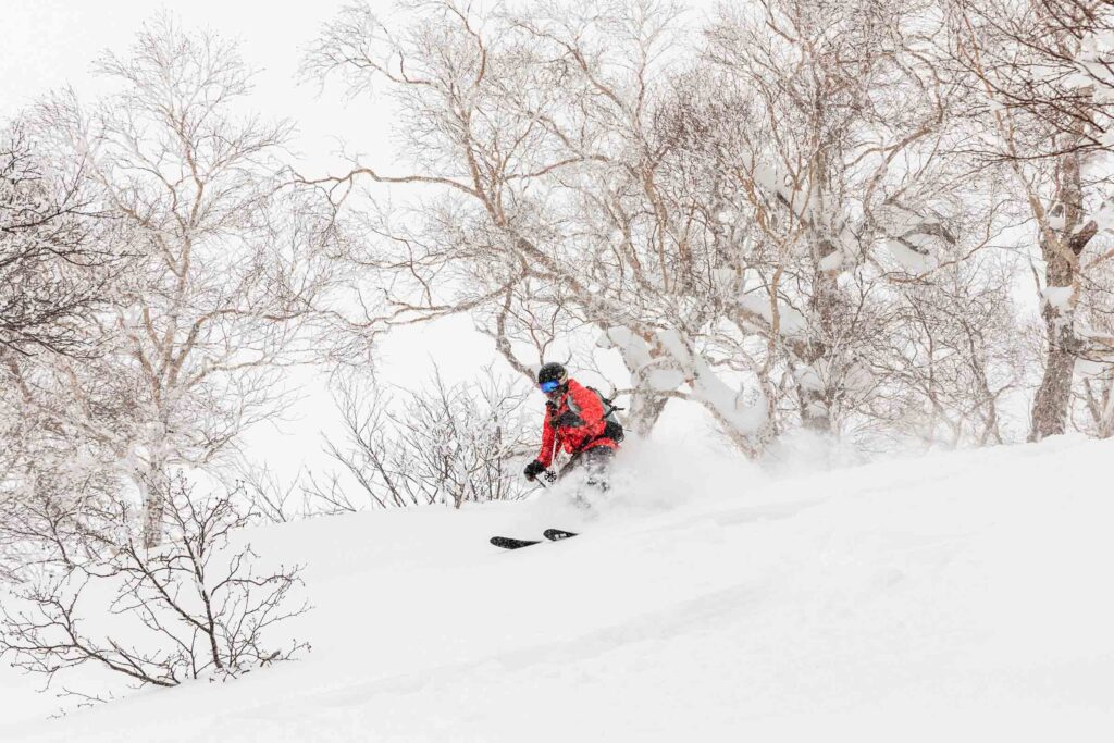
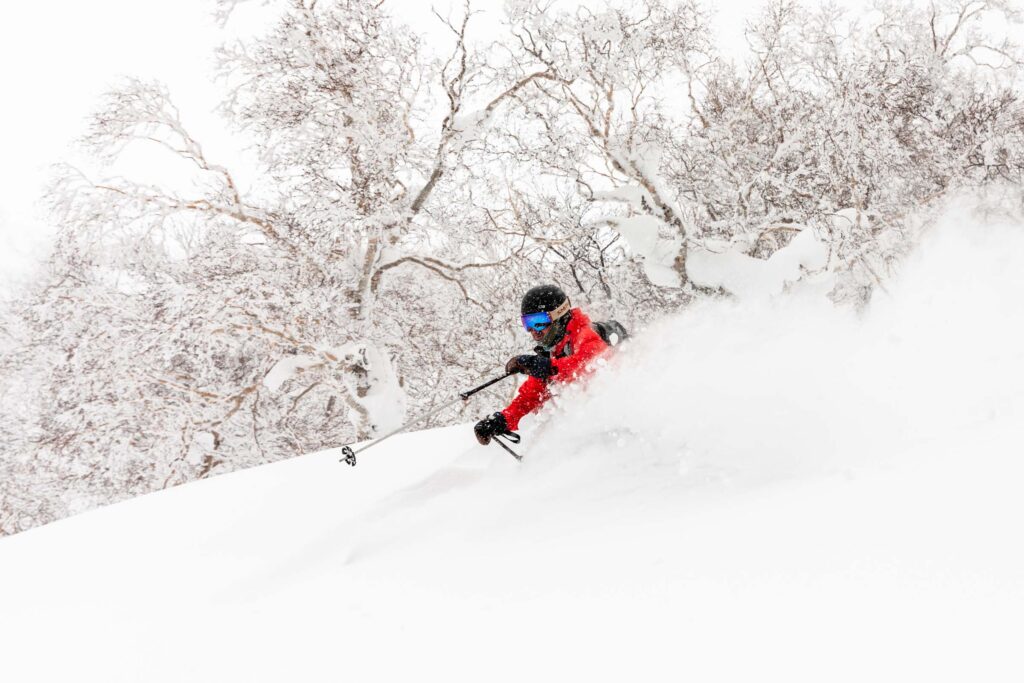
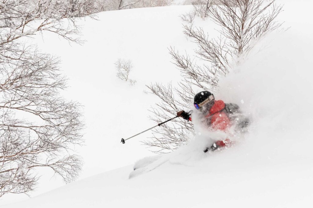
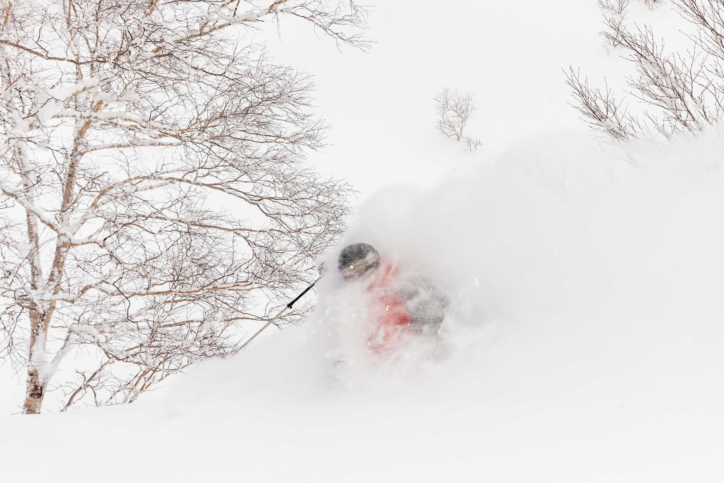
We only made it to the lower bowl before the wind got to us again. Just unpleasant. We weren’t too far from the upper bowl but the lower stuff looked great and fun enough we had 2 runs of it! Gotta make use of the hard earned skin track.
The second run on lower Kaun Bowl we aimed a bit more west to hit the gap that would take us up and over to the trailhead. Thankfully this time around, we found a solid skin track to follow. But boy were our legs tired from breaking trail. We had only a 350 ft descent ahead of us before the last climb out to the trailhead.
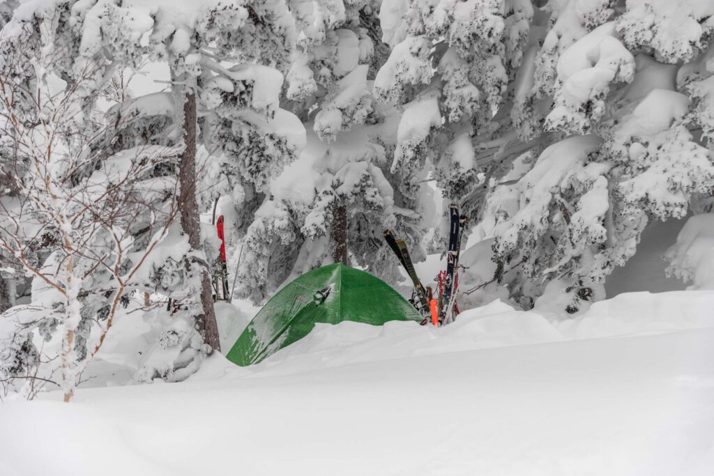
Surprisingly there were 2 different groups snow camping out here! Back in the main valley, we soon made it back with a thrilling downhill descent on skins. To get out of the river, we just bootpacked it up like many other people did. It wasn’t worth skinning out of. And at last we were ready for a shower and onsen!
Notes
- A truly amazing resource is Hokkaido Wilds (why are you on my site anyway?? but I’m honored). It’s a great consolidated list and interactive map of different popular ski tours with difficulty ratings and plenty of beta. I encourage you to do your own research too. Consider hiring a guide for a day and then going out on your own another day
- Avalanche reports don’t come out every day in the Furano area. Select Central Hokkaido if you’re skiing in Furano and if it’s in Japanese, toggle the language. The Nadare site works for all of Japan with most regions in Hokkaido
- Ski rentals are relatively inexpensive. For 2 days, a pair of AT skis with poles (I brought my own boots — highly recommend) was 20,000 yen, so about $130 USD
- Rental cars are an absolute must though you technically can get by with public transportation, but you’ll lose so much time. Pick whichever near Chitose Airport makes sense for you and read up on driving in Japan. All Hokkaido rental cars are equipped with snow (or all season) tires and a snow brush/ice scraper which was so useful since it snowed almost every day there. We rented a little Toyota Yaris and it worked great for the roads. I can’t stress enough about being cautious driving on the left side of the road and on icy/snowy conditions.
- Make sure you get your International Driver’s Permit from AAA to make your US driver’s license valid. Basically it translates the most important information into many languages. They never checked in Italy but they for sure checked in Japan.
- Trailhead: Tokachidake Onsen Hot Springs
Photos taken on Canon 5D Mark IV

You May Also Like
ha giang northern vietnam motorbike tour
birds of hong kong