bang for your buck | north olympics high route
Obstruction Point to Upper Dungeness High Route Traverse: via Lillian Ridge, Moose Peak, Grand Pass Peak, McCartney Peak, Cameron Pass, bypass between on Lost Peak and Mt Cameron, Cameron Glaciers, shoulder of Gray Wolf Peak, exit via Dosewallips River Trail, Constance Pass, Upper Dungeness Trail
43 miles . 15600 ft gain . 6950 ft high
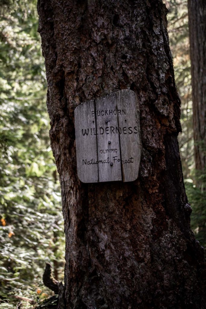
Olympic National Park
I think I was moaning a little too much about not having what is perceived to be an “epic adventure”. My friends, however, pulled through and got me stoked on doing a high route in no other place than the Olympic Peninsula! I can count on one hand how many times I’ve been out that way, and the last trip in the Olympic National Park was doing the popular High Divide Basin (also known as the Seven Lakes Basin) backpacking while there was still snow on the route. I think I hadn’t learned to appreciate the Olympics as much as I do the Cascades, so I was willing to give it another go. We (I mean Steve) imagined up a pretty neat high route traveling from Obstruction Point to the Upper Dungeness Trailhead. I had previously mapped a couple loops (rather than a traverse) similar to this to avoid a long car shuttle.
Logistics
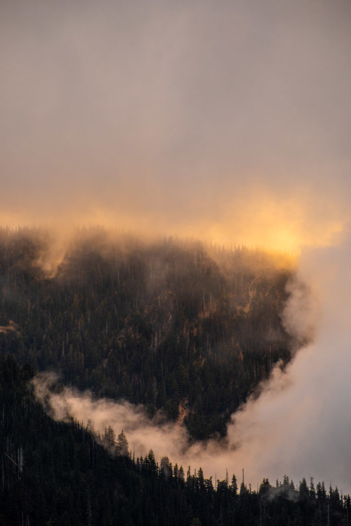
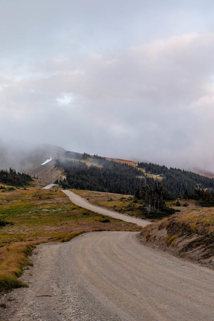
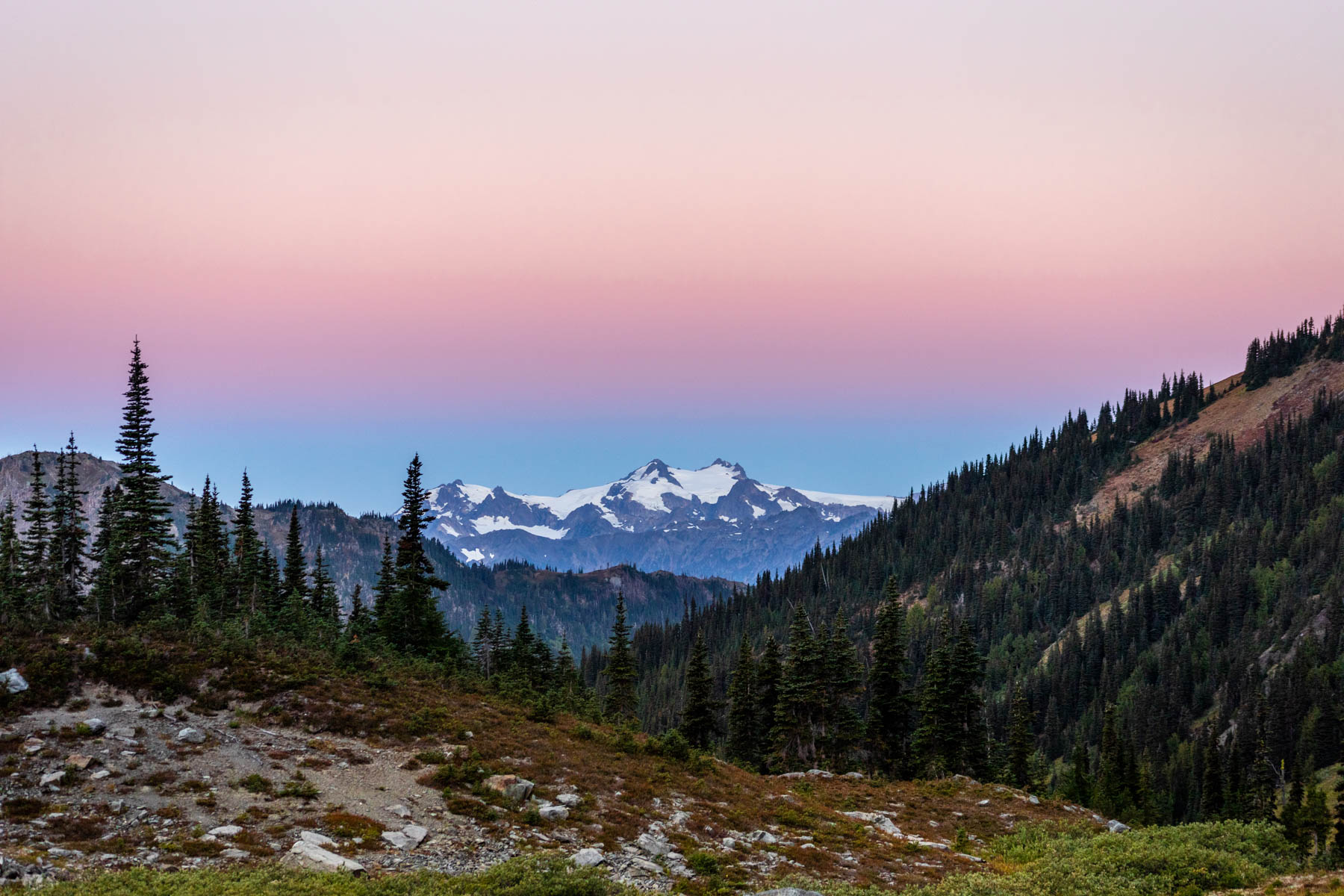
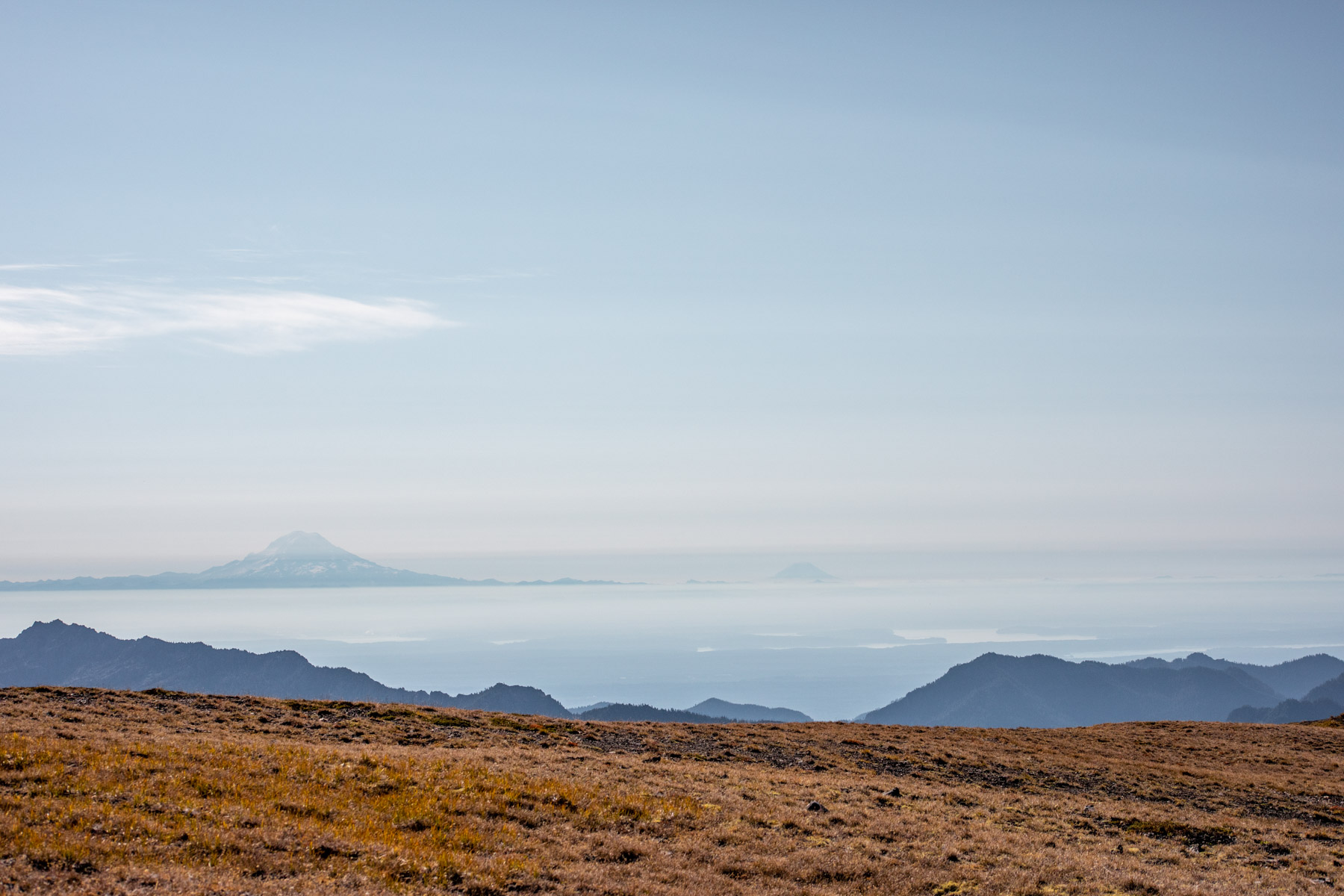
Thankfully, the Olympic National Park has moved to an online-only system for reservations and permits. Where we were headed, the spots were near limitless since no one heads out that way anyway and we’d primarily camp in cross country zones. Due to the long car shuttle, we set it up the day before our tour. Although it was raining in Port Angeles, Hurricane Ridge somehow sat above and away from the rain clouds. We’d drive in and out of the clouds, making the one-lane drive to Observation Point seem scarier than it is. But then we were rewarded with a spectacular sunset where the clouds would light on fire and another section with the soft sea of cloud inversions. This movement of ever-changing clouds made it so fun for us to enjoy despite the chilly fall-like weather.
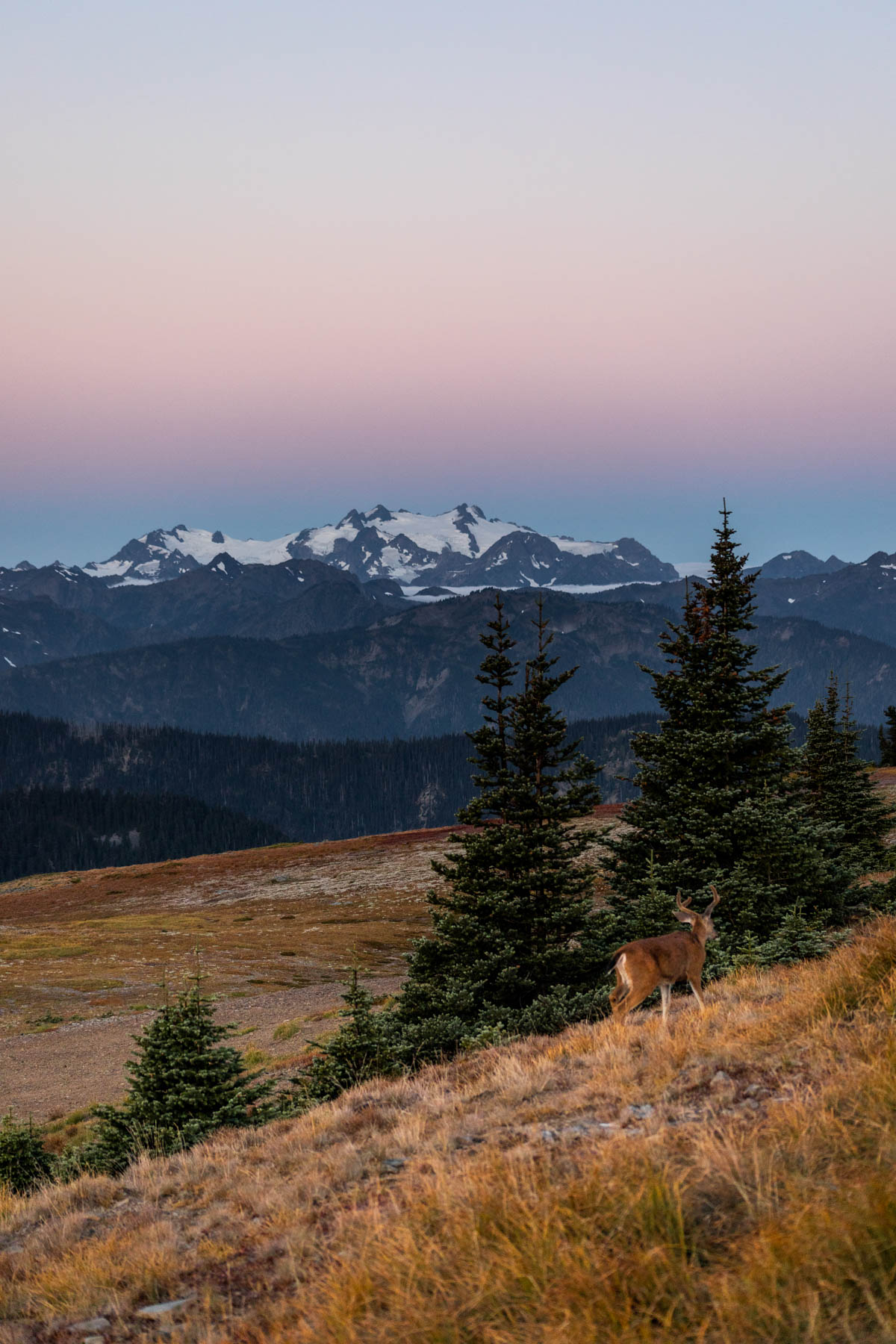
Observation Point
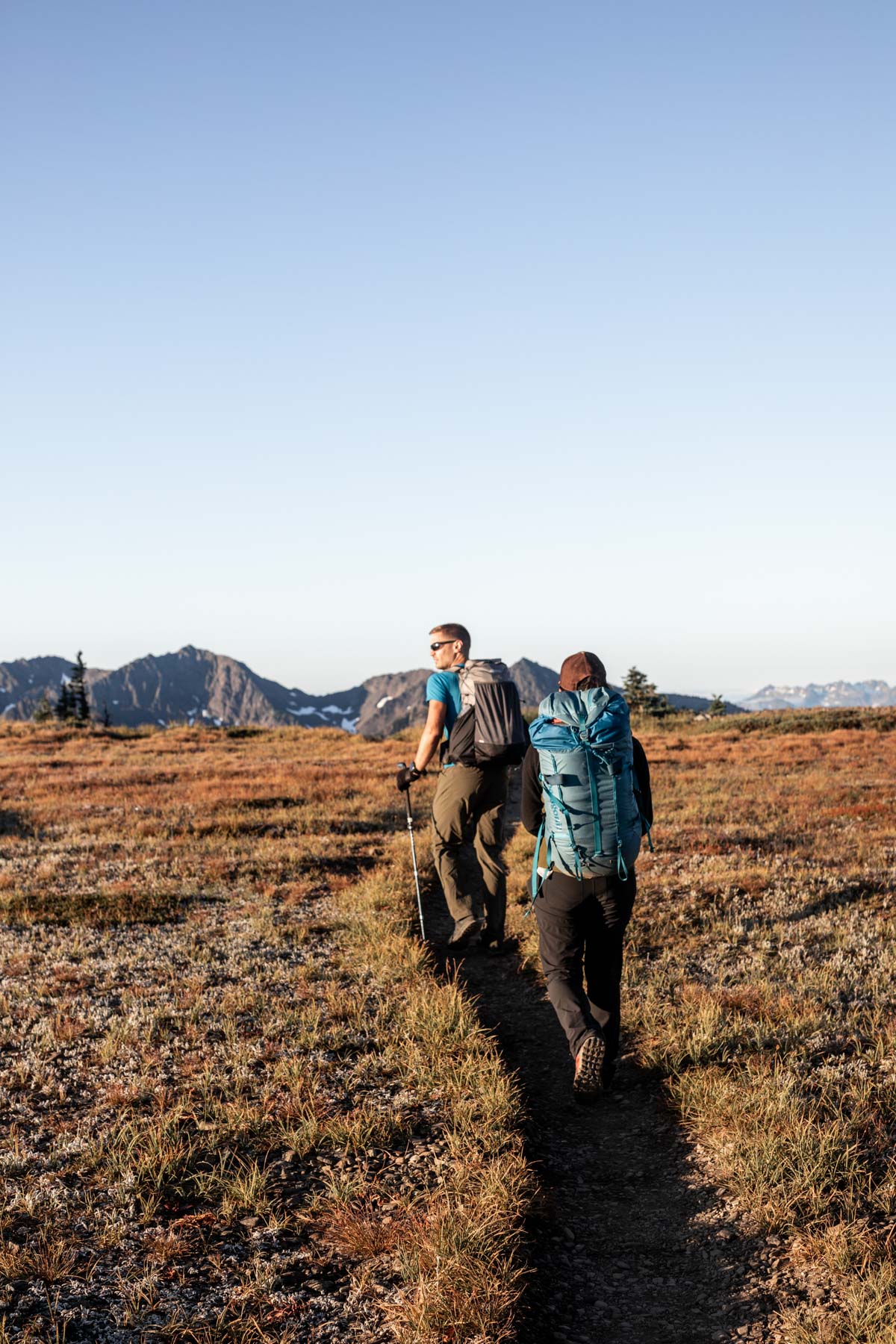
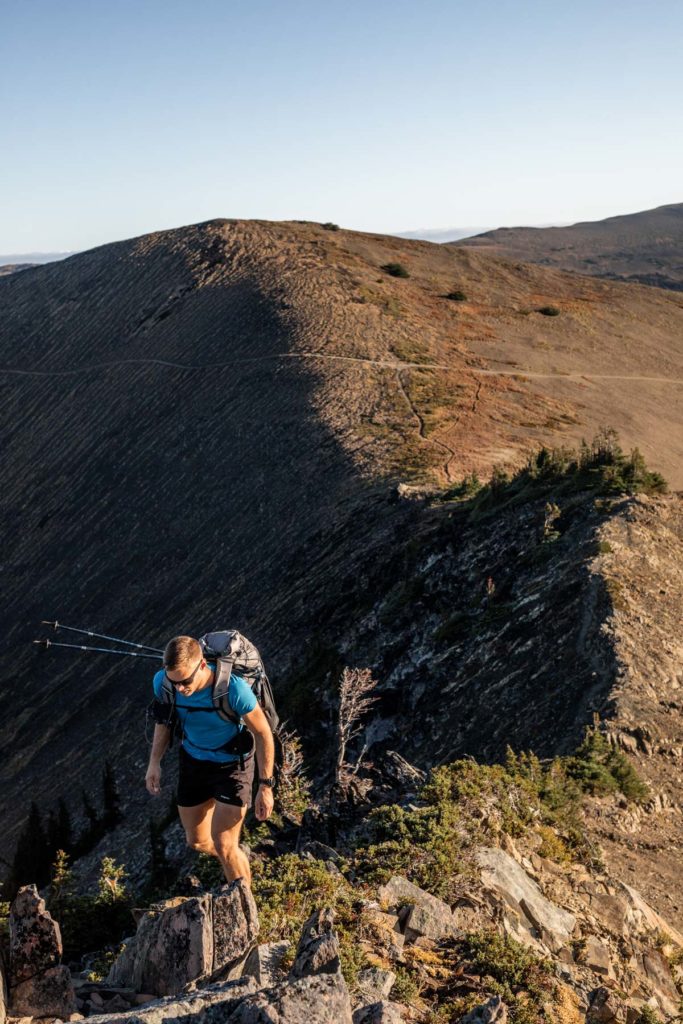
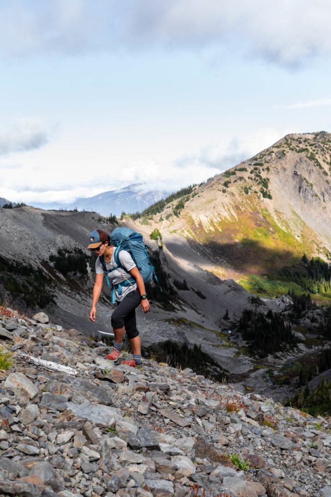
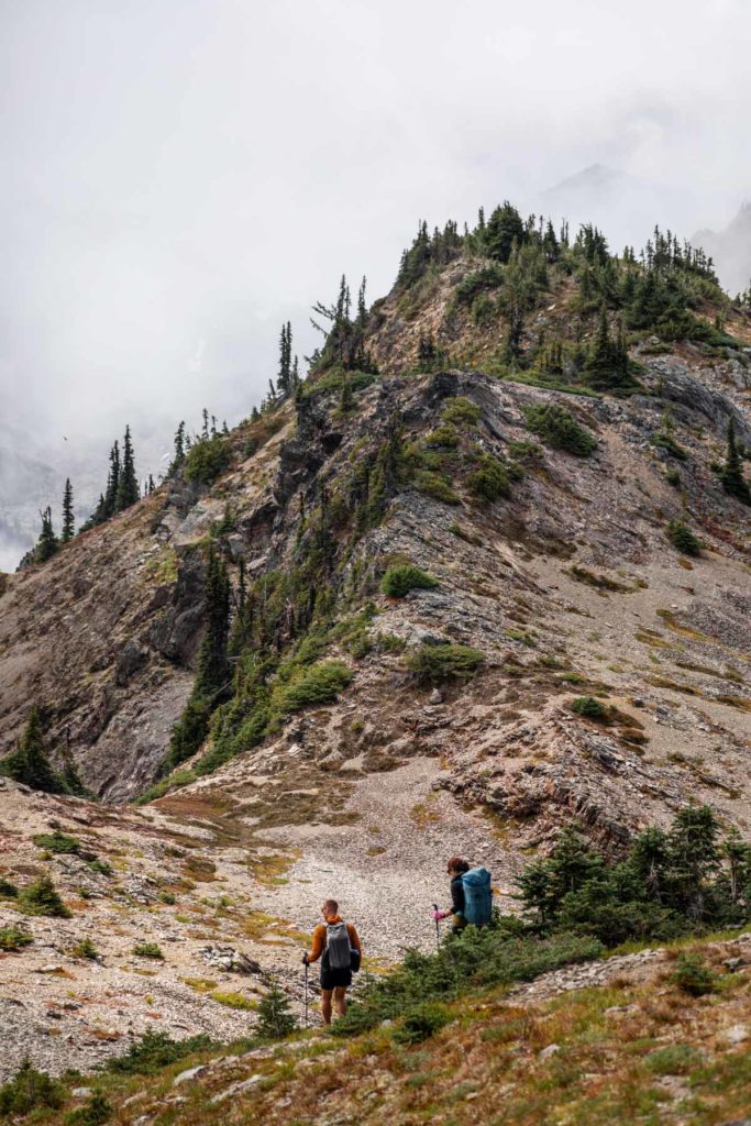
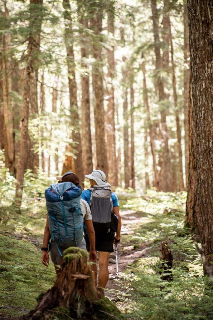
In the morning, we awoke to a clear sunrise and alpenglow on Mt Olympus. Could you really say it was a bang for you buck if you didn’t even spend your buck? I appreciated the low-effort of driving to such vista, but there’s something to be said about working for your views. The start of our hike-scramble-backpack trip was fairly easy on the Grand Pass Trail. This is a great short walk for those who don’t want to continue further. But we quickly took a turn to the Lillian Ridge Way trail. Most people would continue on the main trail to Grand Lake. We were doing a high route, so we stayed high. It wasn’t as trivial to scramble up the minor peak off Lillian Ridge, so we back tracked down to the faint trail and checked out Moose Peak before heading down the ridge to link back up to Grand Pass Trail. At the basin, we stocked up on water again (bringing just a 1-liter bottle means you have to fill up on every clean water source). It was glorious to check out the bountiful basin, the theme of this part of the Olympics. We bid goodbye to the lush meadow and hiked up the trail to Grand Pass.
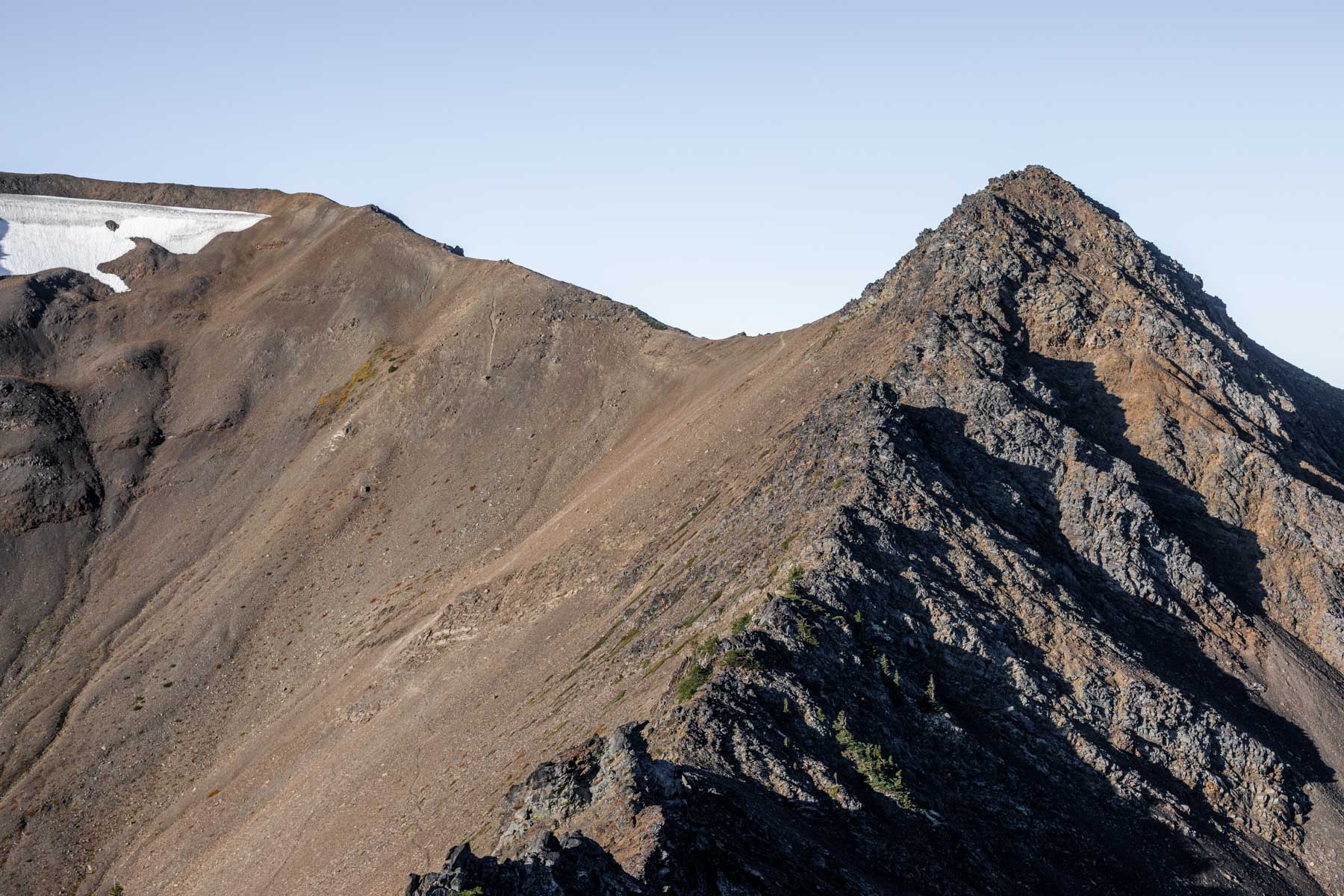
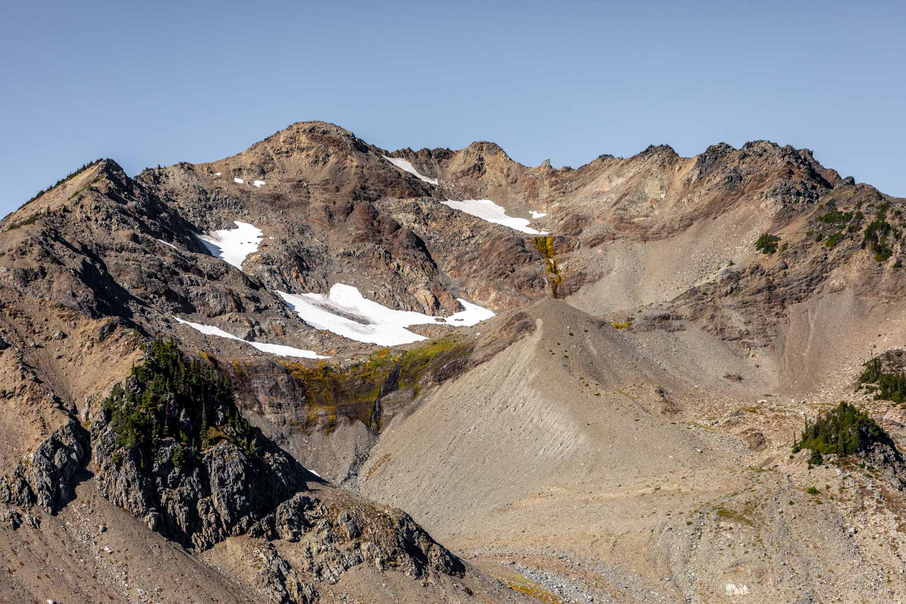
Grand Pass
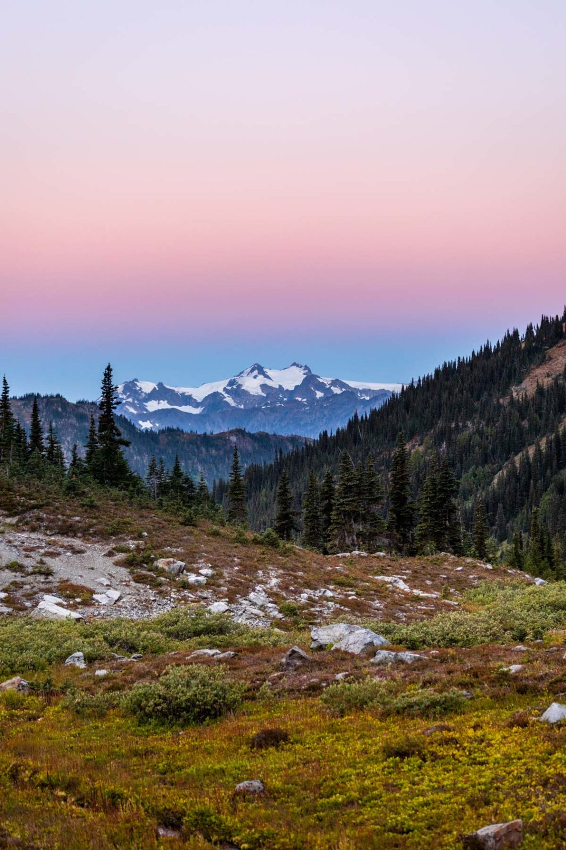
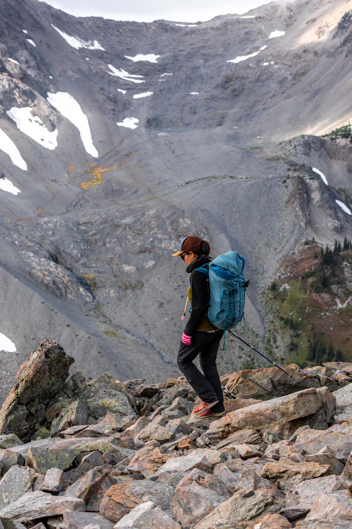
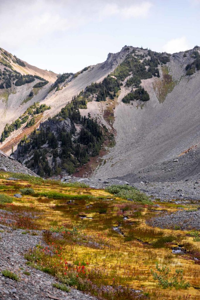
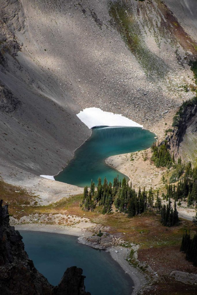
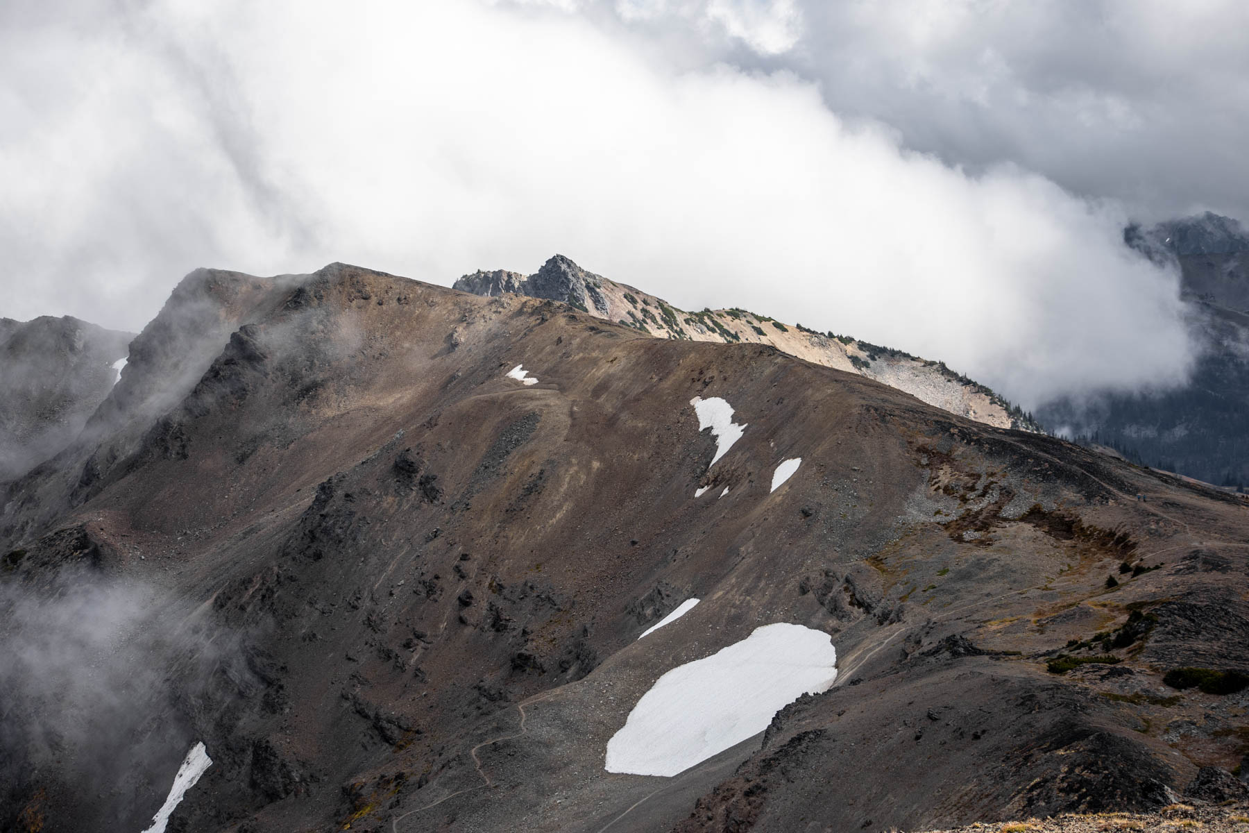
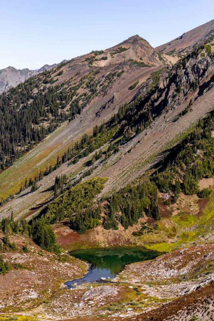
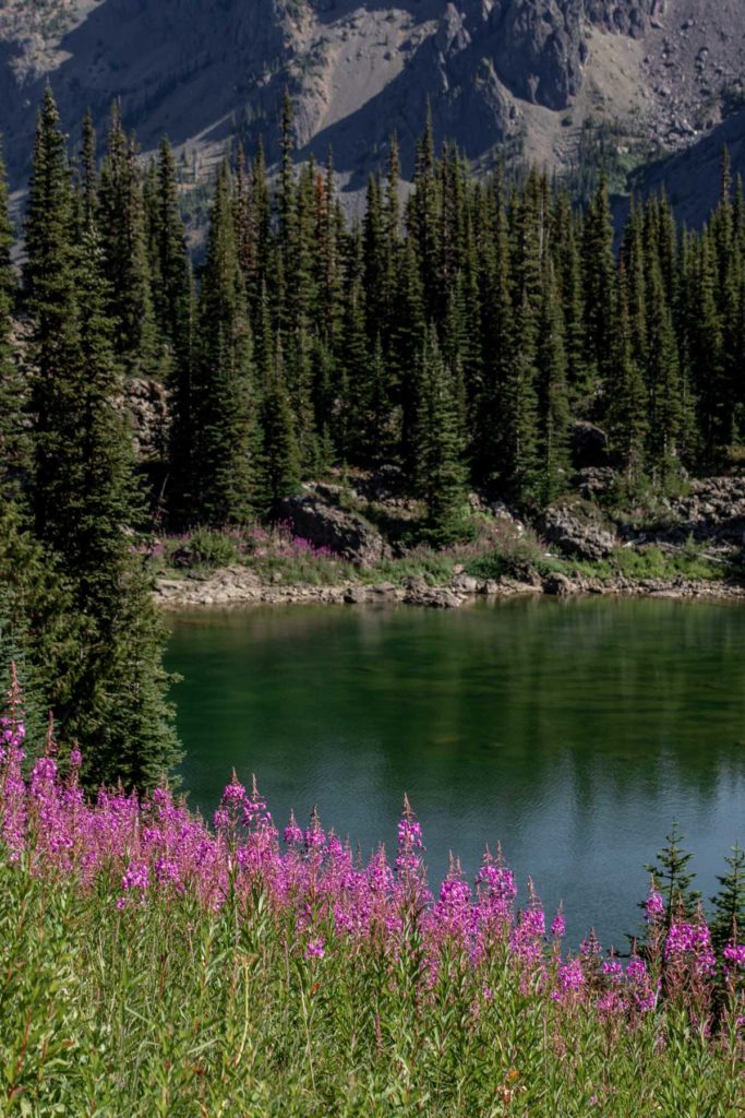
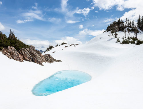
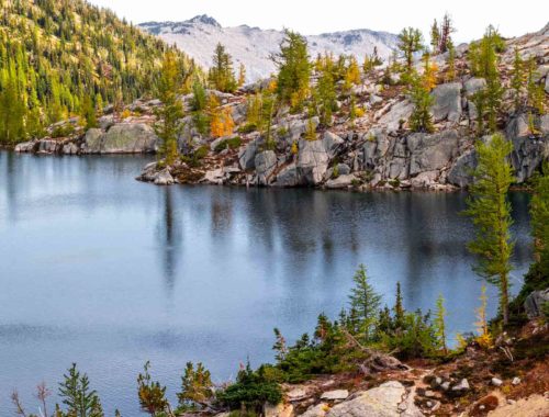
Just as we approached Grand Pass, the clouds were constantly looming over us from the east side of the ridge in the Cameron Creek Basin. Again, technically you can drop down to the next valley and climb out of it again, but we took a leisurely time on our high route. From Grand Pass Peak, we scrambled down to the Lillian Basin. There was some loose scree that wasn’t too terrible to head down, although I prefer a less steep slope. From afar we could see where we’d climb to McCartney Peak while passing some interesting moss-lined streams. The closer we got, the more amazing it looked. It felt like we were on a different planet yet vegetated in a way I had never seen before. Life was abundant even in the non-life pile of rocks. We were treated with flowers in every patch of moss and really could not get over it at all. We very slowly made our way up, taking pictures every two steps, finding more glacial tarns as we scrambled to the peak. We had briefly discussed walking around the ridge to visit true Lake Lillian, but that would have added quite a bit of work. So I’m glad we decided to just take a peak from above. We saw a few people below, wondering which social trail they took to get there. I maintain that the views from above are better than at the lake itself. Plus, we saw “Aviator Lake”, a lake we named for how it is shaped like aviator glasses.
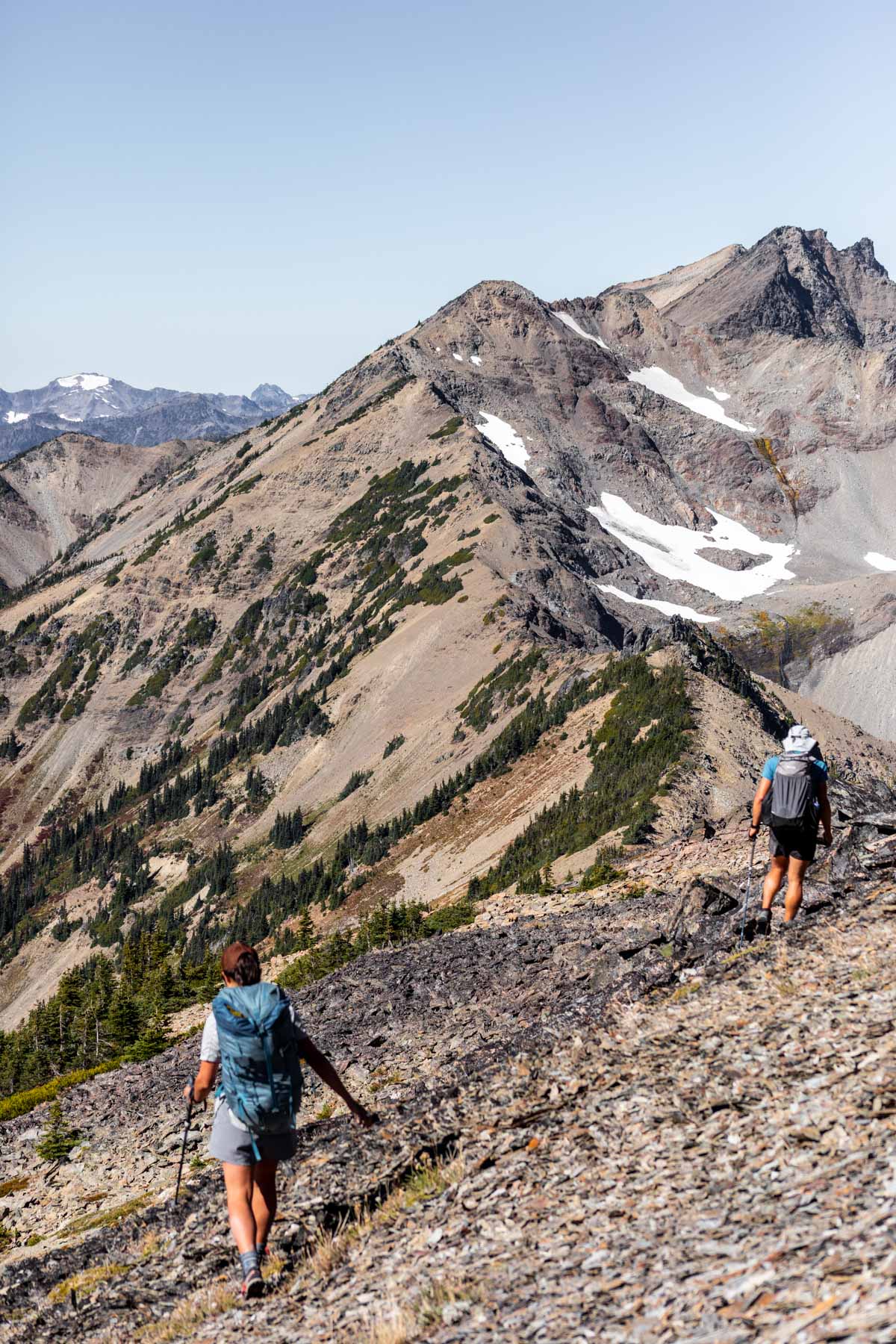
Cameron Pass
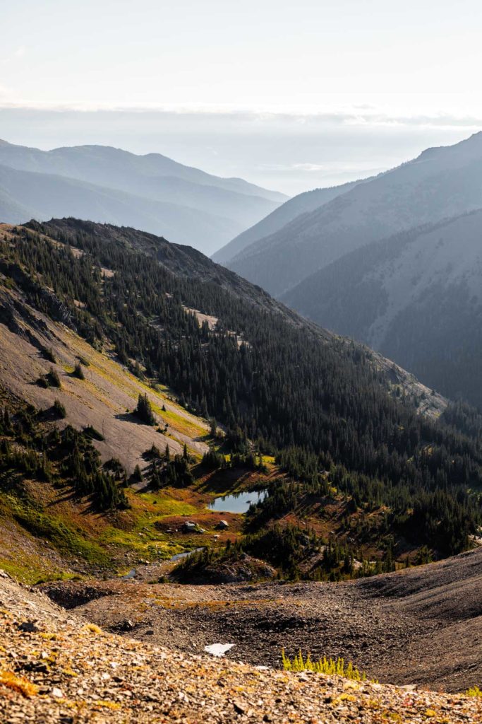
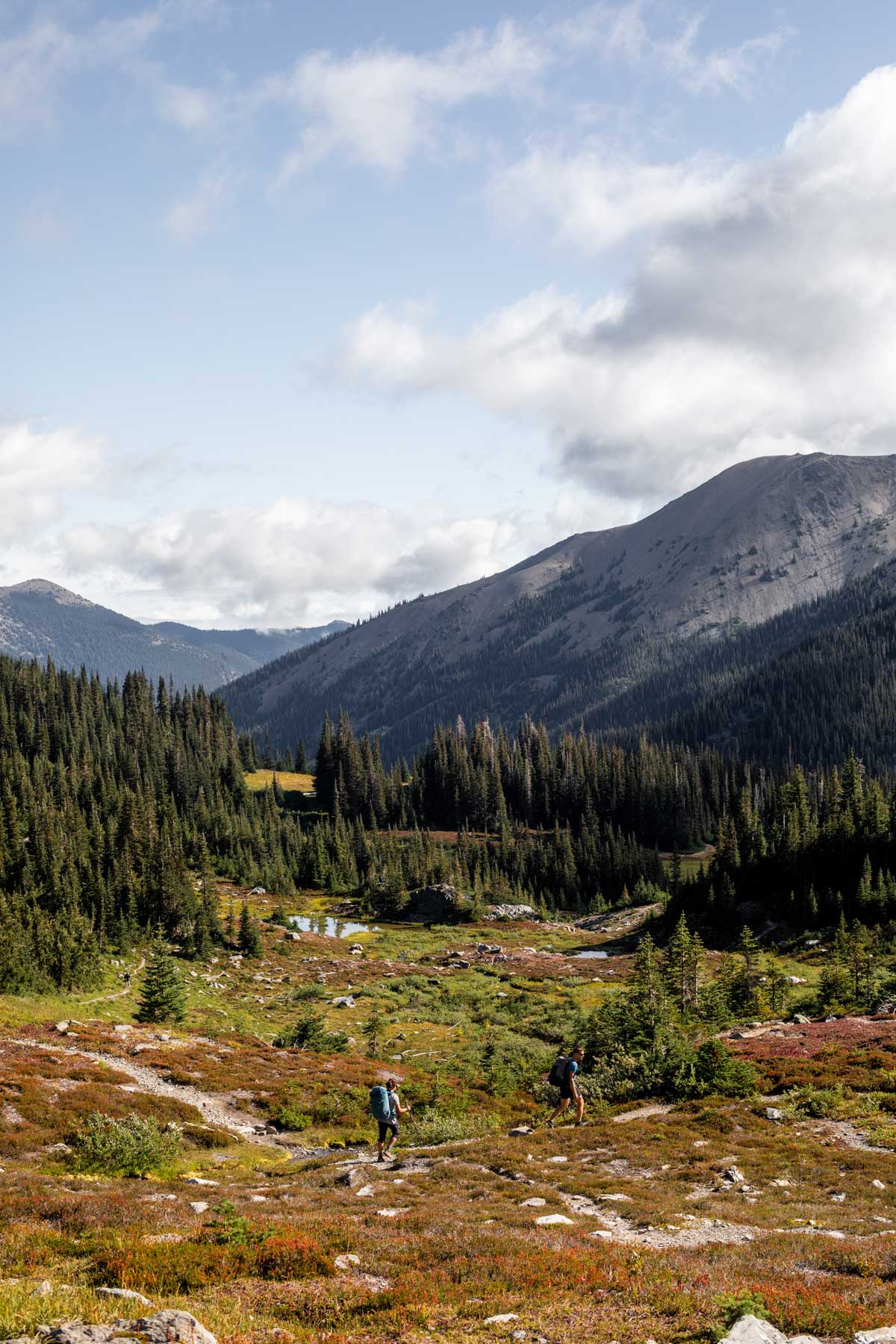
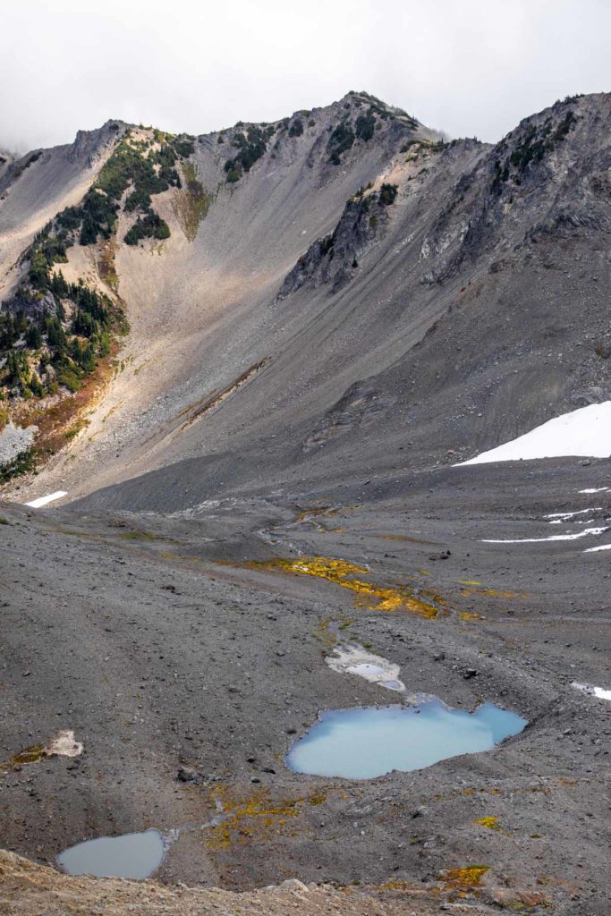
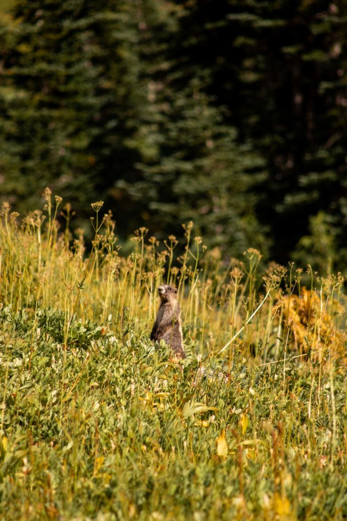
The rest of the high route for day 1 remains a slight blur to me. I was enjoying myself so much that sometimes I’d forget to take pictures to remember the places. But we scrambled down to the basin for a bit before following the ridge again. Little ups and downs we made our way steadily towards our high camp. We passed two people as we crossed Cameron Pass and they were intrigued at our high route. At the pass, we debated going down to Cameron Lake or to our pin-dropped lake with better views and no clouds. The clouds were still locked in the Cameron Creek Basin, so we decided to do our best to find a suitable campsite at an unnamed tarn south of Cameron. I was too tired to properly take more pictures again, but the next day, we decided to detour from our original plan. From our camp, we would go straight up to the ridge and reconnect with our charted route. Going up the middle of Cameron looked difficult and we’d have to backtrack and add more gain than I deemed necessary. To our delight, the ridge and next basin was pleasant to travel up. From an unnamed peak east of East Cameron, we descended down some more steep rocks and not-so-steep snow. The glacier has sadly diminished in size so it was easy to cross over the snowfield. We traversed over to the next basin filled with huckleberries to snack on. It was full on fall.
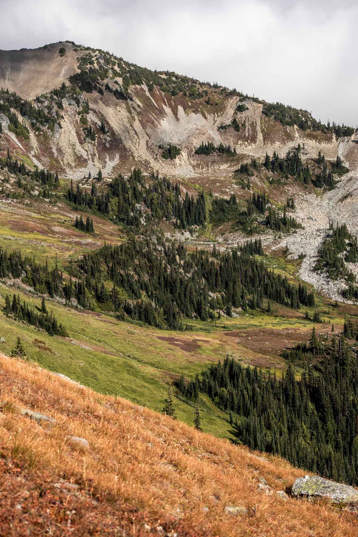
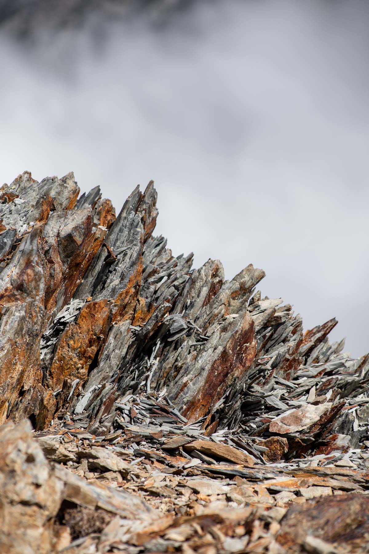
Gray Wolf Pass
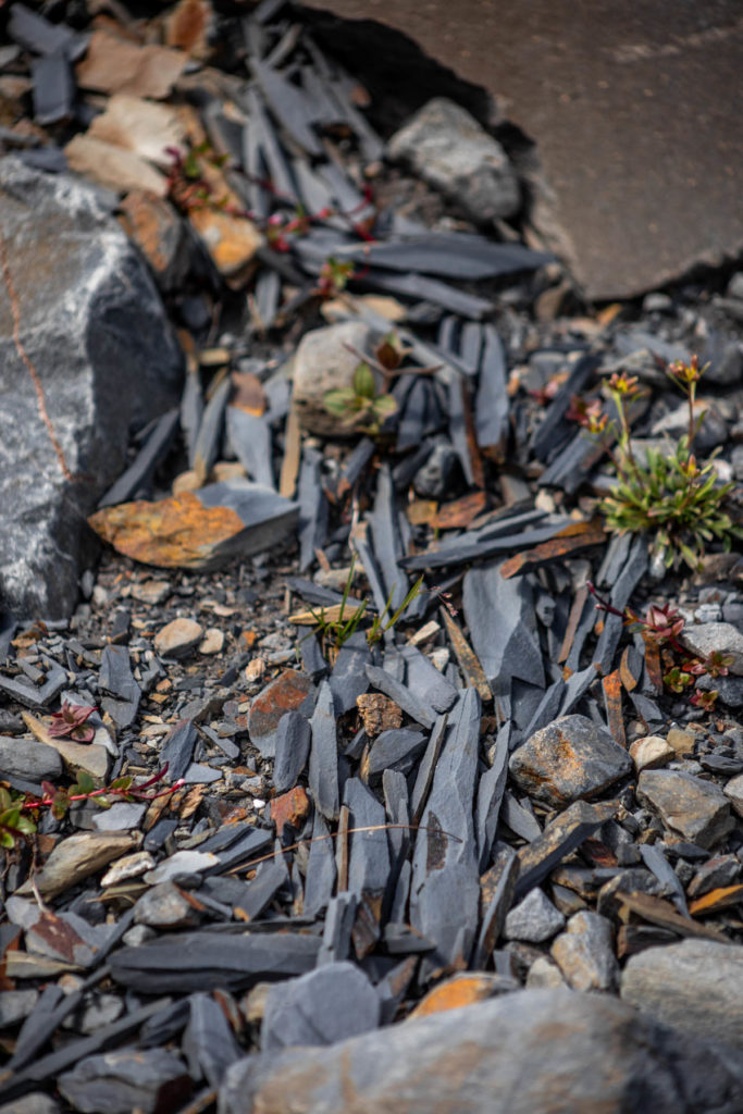
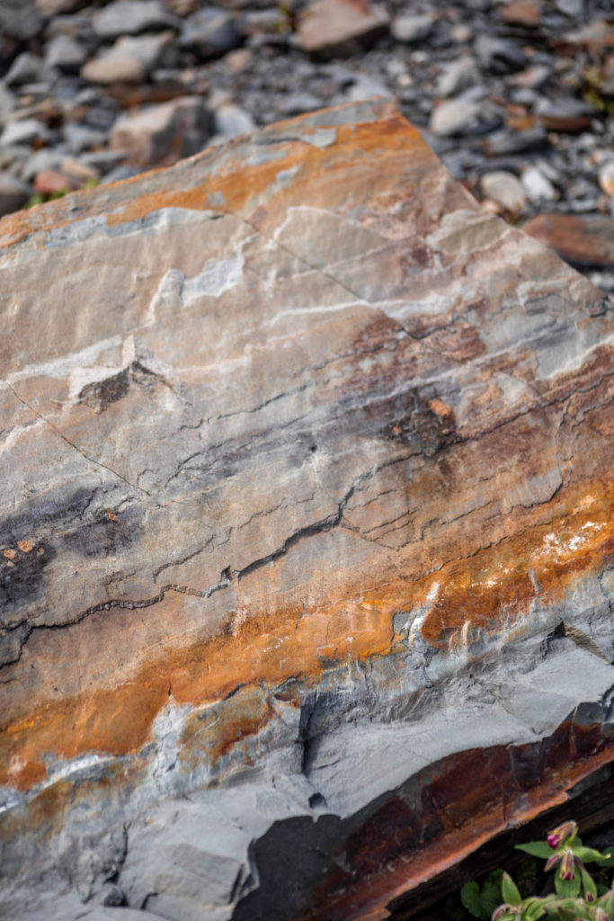
Our next big tackle was getting around Gray Wolf Peak. In theory it should work, but sometimes maps don’t show micro terrain where it can get steep and cliff-like very quickly. We scouted a bit further and were not a fan of the loose slate. Perhaps we had the technical skill but wrapping your head about the consequences if you don’t properly execute your steps was way too daunting for me. Collectively, we made the difficult decision to descend all the way down to the Dosewallips River trail to reach our next camp. Navigating the forest was a bit more challenging than the last time I did something like this at Mesahchie. It helped that I had done something similar, I knew I wouldn’t be the fastest but I can get down meadows and old growth forests to catch a trail at the bottom. The whole time this took me back to Easy Pass and Fisher Creek. The scenery was similar: the deep valleys, weaving in and out of forest and meadows at the valley floor.
Deception Creek
We planned to camp at the lake on top of Deception Creek between Mt Deception and Mt Mystery, two forbidding mountains. From the river trail, we started to make our way through the mossy forest. But the higher up we went, the more we ran into tall bushes. And not just any plants, the prickly, spiky ones grew more and more omnipresent. It was so bad that we moved maybe 500 feet vertical in an hour. It’s hard to just walk through plants when they’re prying your skin, while being self aware enough to not run your knees into dead logs. Exhausted mentally from navigating the heavily thorned devils club, body-whacking alder, prickly gooseberry bushes, we finally got a clear sight of what’s ahead. We’d have way more of the same to fight through before getting above vegetation to the lake we wanted to camp at. 5+ year old satellite imagery can be very incorrect, and we had to find that out the hard way. Fortunately, we made it back to the trail much faster by staying higher above the devils club. We were disappointed to retreat because we’d have to hike around 20 miles to get back to the car and we’d bypass the famed Royal Basin. To be fair, we had traveled through a respectable amount of basins that could rival it.
Dosewallips River
We took a gamble on campgrounds. We saw a huge stock campsite where we had left and returned to the trail from our off-route travel. But to save our legs for the last day, it seemed advantageous to hike a few more miles today. Unbeknownst to me, a little blister had started to form on my heel from so much sidehilling and slipping around in my shoes. We mustered around 3.5 miles before we stopped at a small campsite. We probably passed one every mile or so, which was reassuring. We set up camp and started dinner just as the sky started to get darker. Each day we’d been waking up around 6am, and the last day was no different. I taped up my heels and we started our hike out.
Constance Pass
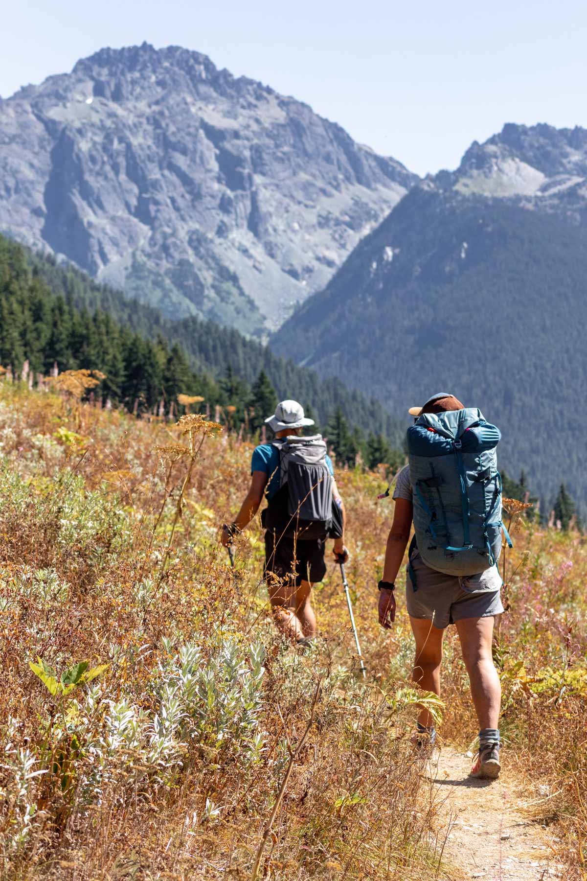
We took it nice and steady as we hiked the trail to Constance Pass. It was a much less maintained trail and we passed a couple people. We mostly walked through the forest but the last thousand feet opened views for us and I quickly forgot the difficulty to walk uphill. Since we had made good time, we took a nice long break on top. A private helicopter flew close to us, I waved but couldn’t tell if anyone waved back. About 10 more miles left from here. At least it was mostly downhill and somehow I’d mitigated any pain in my feet from rubbing. Time to descend one last basin before our brisk walk/half-jog out. We met way more people on this trail than the other days, and it was interesting to see that it’s more younger people on this side, compared to the other people we’d been meeting who are our parent’s ages and spending many days out there. I’m impressed some of them were saying it’s day 3 or day 7 for them! I haven’t even backpacked that long before. At this rate on the Upper Dungeness Trail, my only goal was to make it back to the car efficiently. We’d been on our feet for many hours now and we could all complain about our feet and knees hurting.
Upper Dungeness
After passing the Marmot Pass trail junction, the trail was much more flat and we could enjoy the river and forest. It was so pleasant for our knees. One pain lessened is better than anything! It was definitely a joyous moment of hallelujah when we made it back to the car. I’m glad that despite changing nearly half of our route, we had a backup to fall upon. We did a high route, we traveled on valley floor, we scrambled some, we explored lush meadows, we had fun and we were done. Thanks for the good times and the safe decision making too! And truly, especially the first half of this traverse was quite the bang for our buck!
Notes
- Olympic National Park requires permits sold on recreation.gov
- The car shuttle takes around 3 hours each way from trailhead to trailhead.
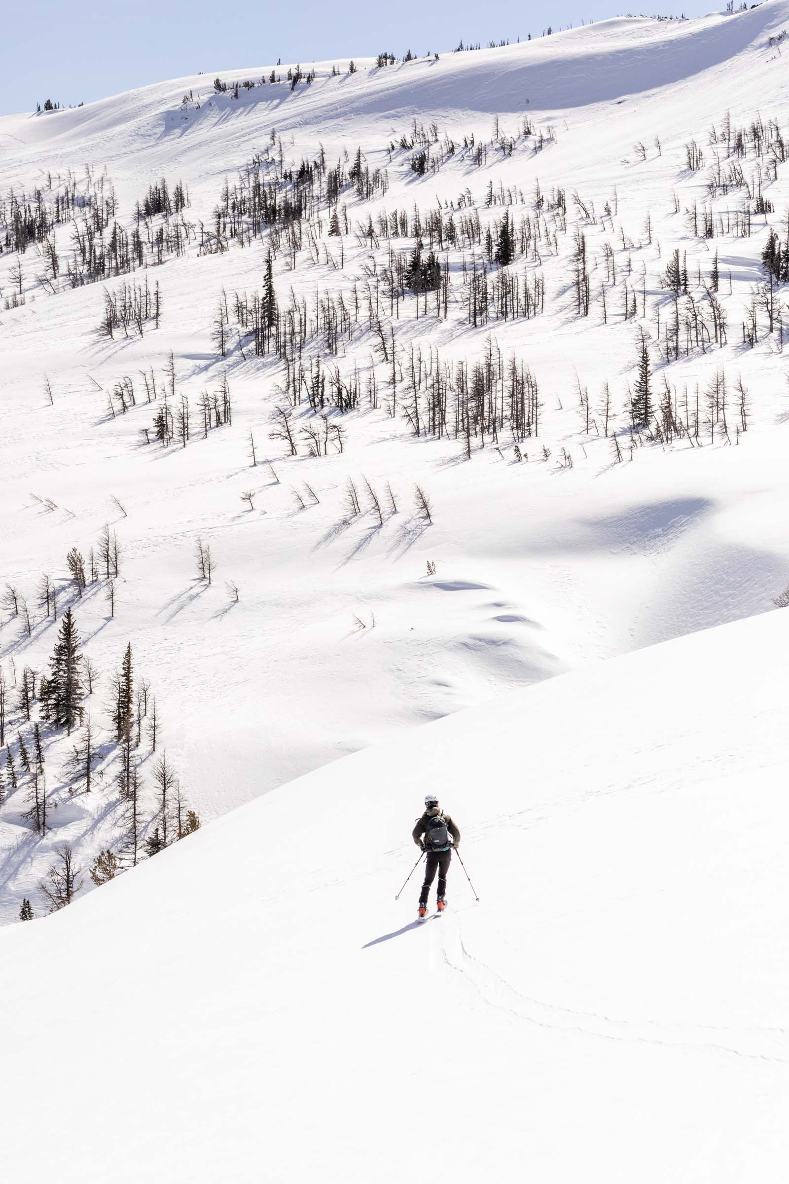
- We ran into issues navigating around Gray Wolf Pass Peak. It might be doable, but we did not investigate further than what we could see form above. We also could not assess the terrain for going up and over to Royal Basin from Deception Creek. However, all of this could be manageable if it was entirely snow-covered. The grade of the slopes are great for ski touring and you can stay high above the trees for the most part.
- There’s a great system of trails you can use instead that generally provide a good method as a bail option. Obstruction Point to Upper Dungeness can be traveled entirely on trail, but we opted to stay on the high route when possible.
Photos shot on Canon 5D Mark IV


You May Also Like
spring snow | gothic peak
long lost lollipop larch loop | chiwaukum via lake ida