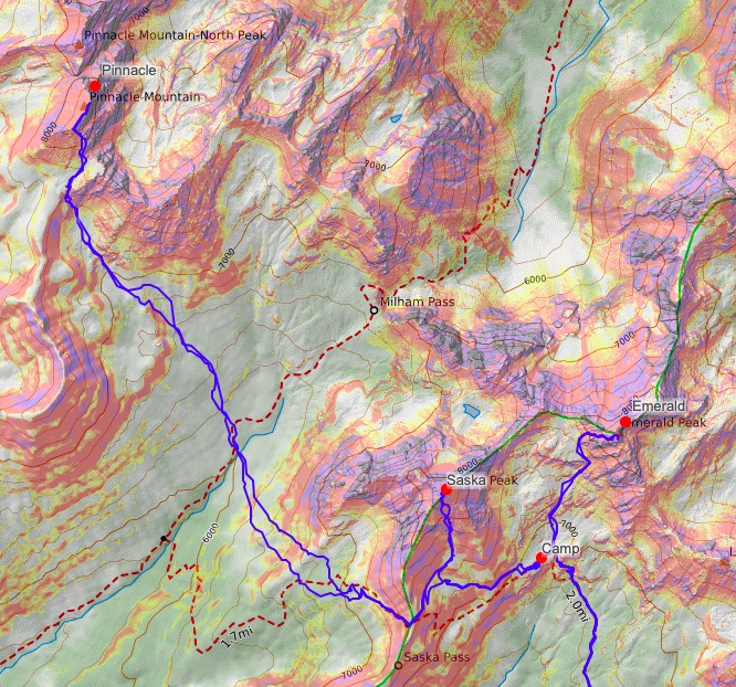
bike, hike, scramble, camp | chelan slam (emerald, saska, pinnacle)
29 miles . 10500 ft gain . 8420 ft high
Glacier Peak Wilderness
Every year I tell myself to prioritize exploring the Glacier Peak Wilderness. But every year, I barely even make it to the area. Thanks to Scott’s Bulger climb project and certain wildfires, we were left with some east side climbs to pick from. I think the Chelan Slam is not done all too often because of the long drive and long approach and best done over a couple days. We opted for 3 days for a more leisurely attempt and taking wheels up the trail.
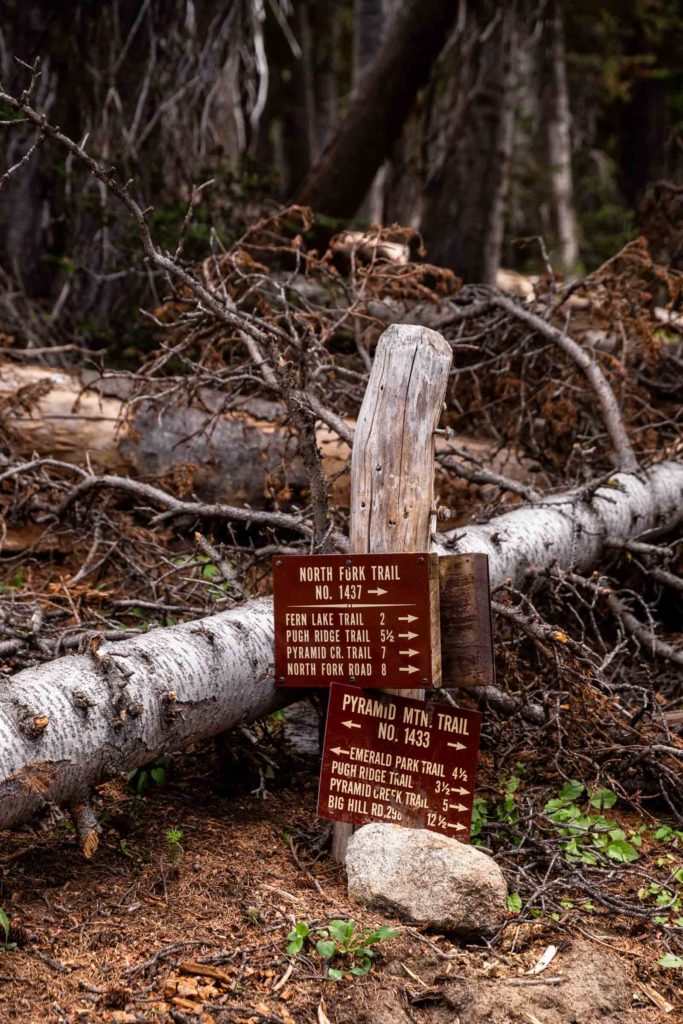
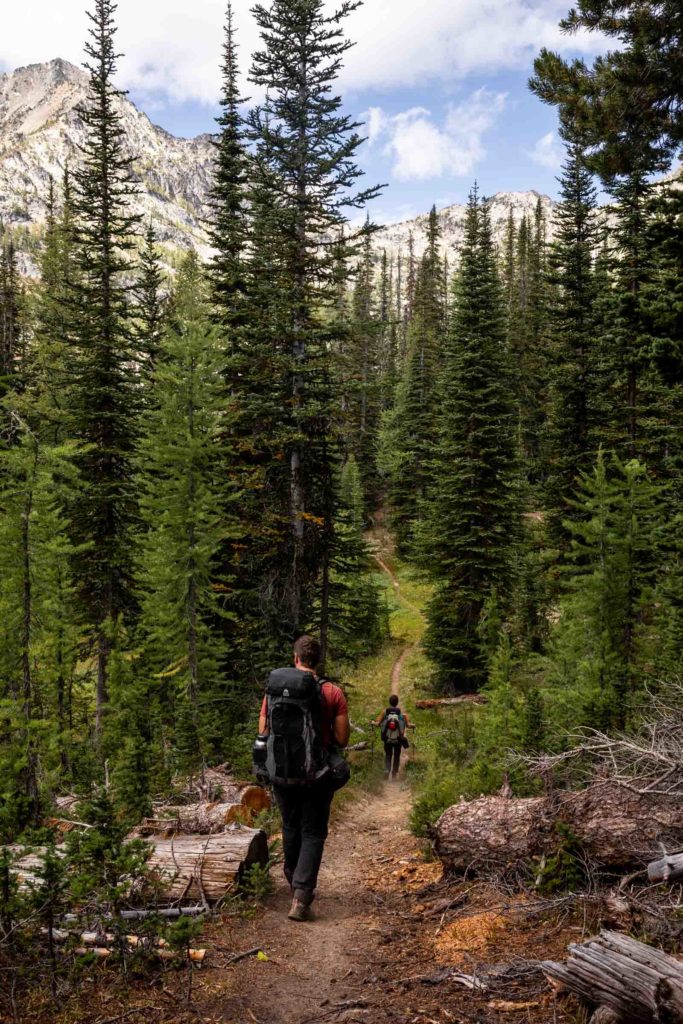
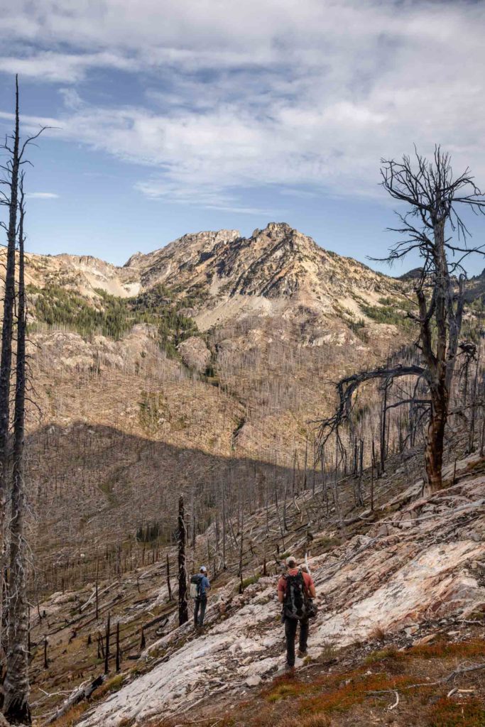
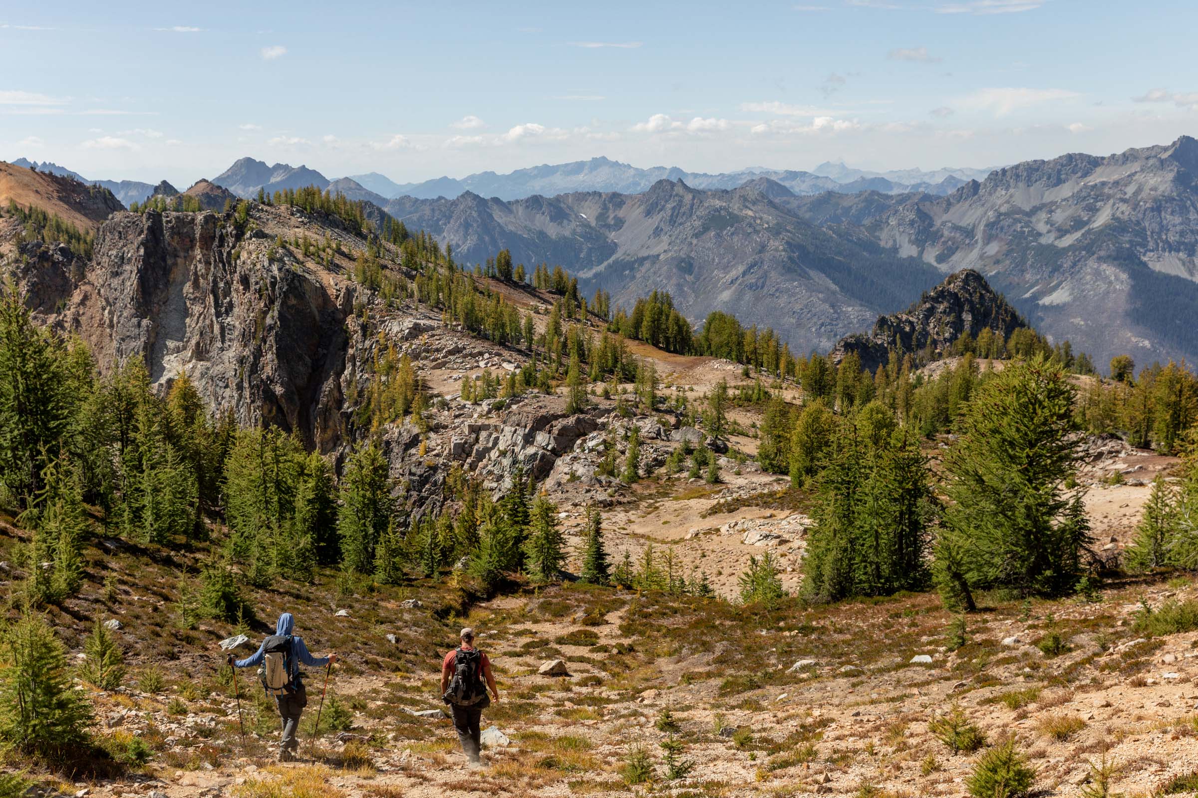
We all arrived at the trailhead ready to take on what we assumed to be bikeable by all, perhaps an old forest road, nice and wide and gently graded. What we were met with was a bumpy, rock-filled trail that was difficult to bike but not impossible. Our little bandwagon consisted of a hybrid mountain gravel bike, an e-mountain bike, and a one wheel. Each had their own issues from weight to ease of use. At mile 4, we decided to call it quits after much frustration with the uphills and feeling like we’ve made enough progress to reconcile bringing out wheels. From here, we stashed our vehicles and started hiking some of the steeper sections of the approach. The friendly chit chat helped passed time and soon we were at the junction with the Pyramid Mountain trail.
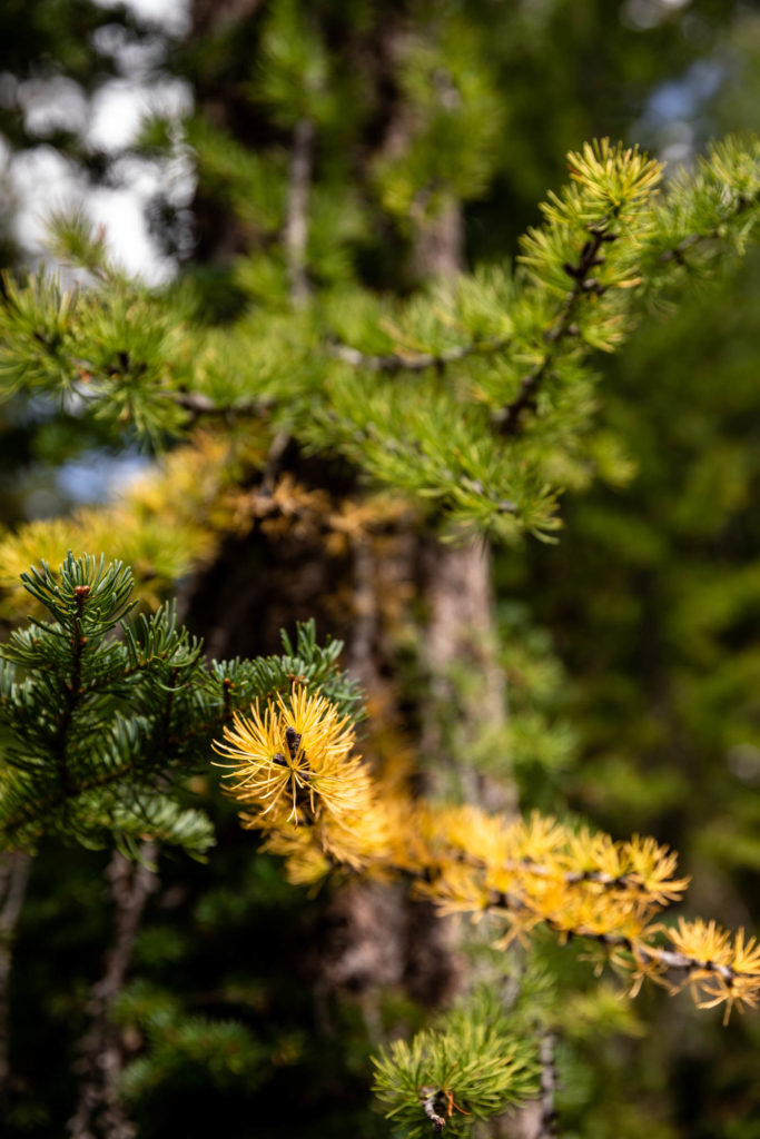
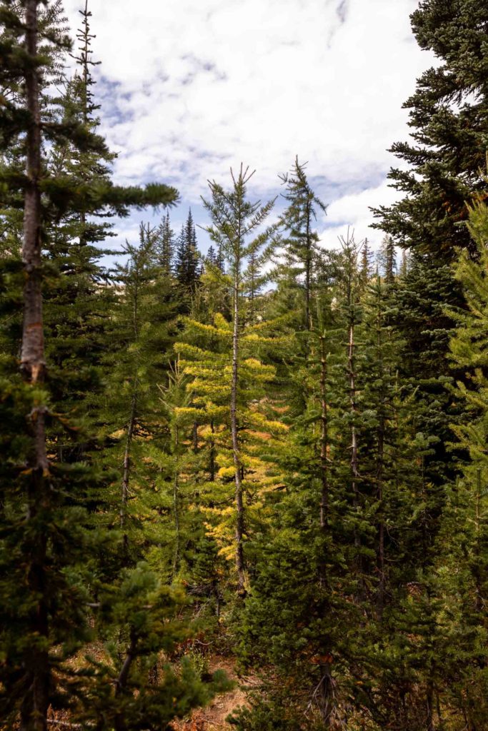
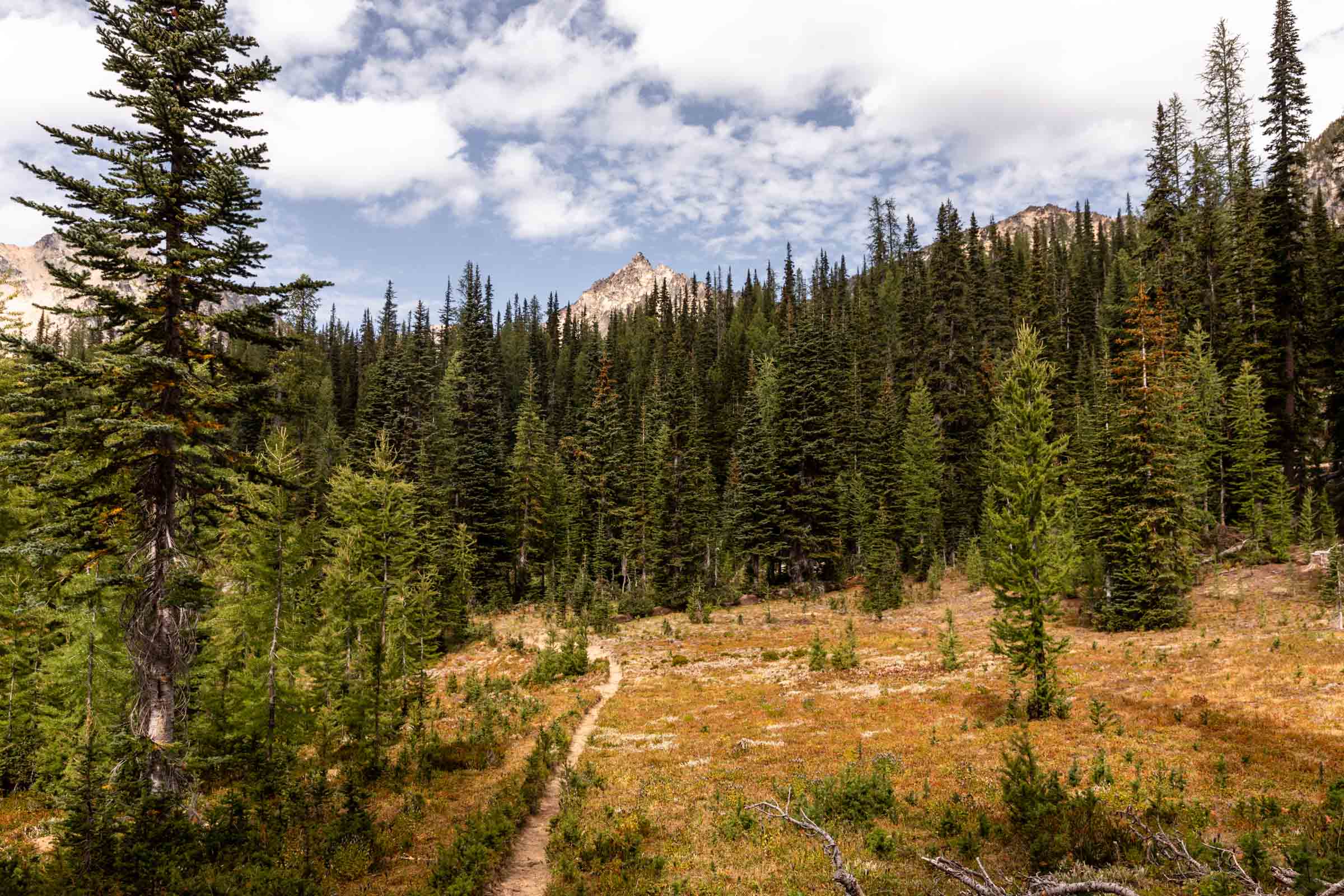
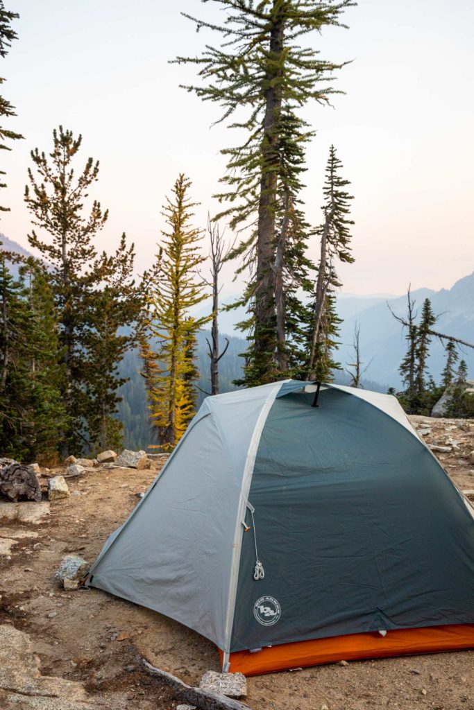
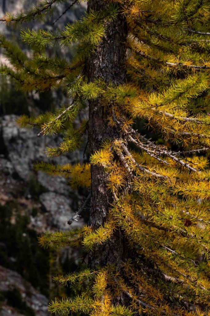
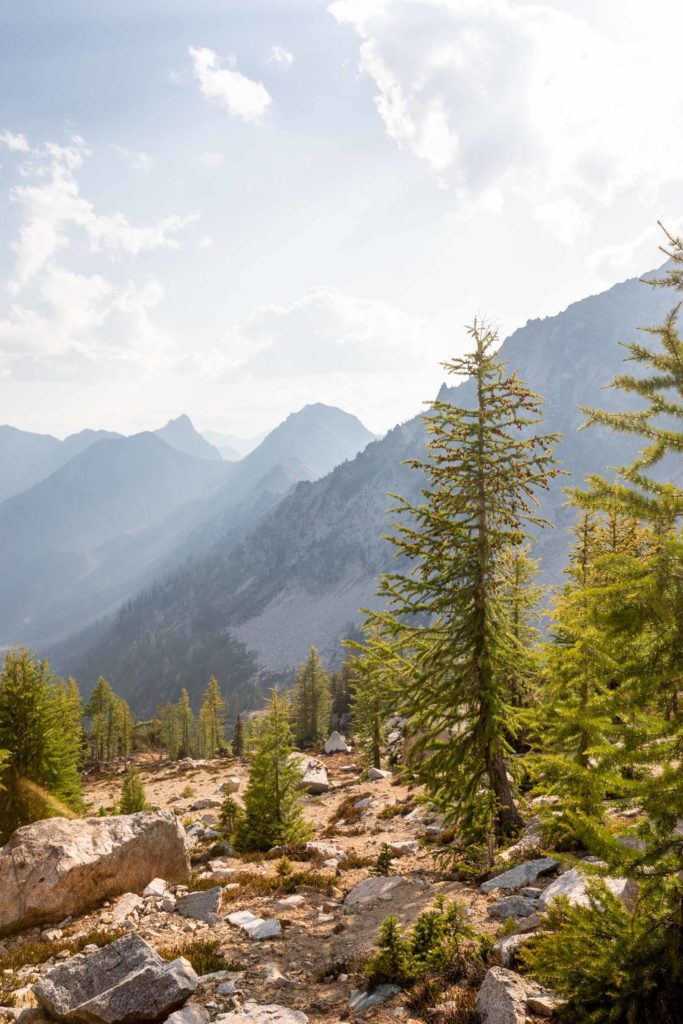
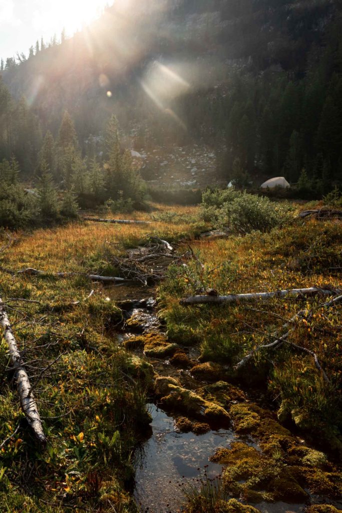
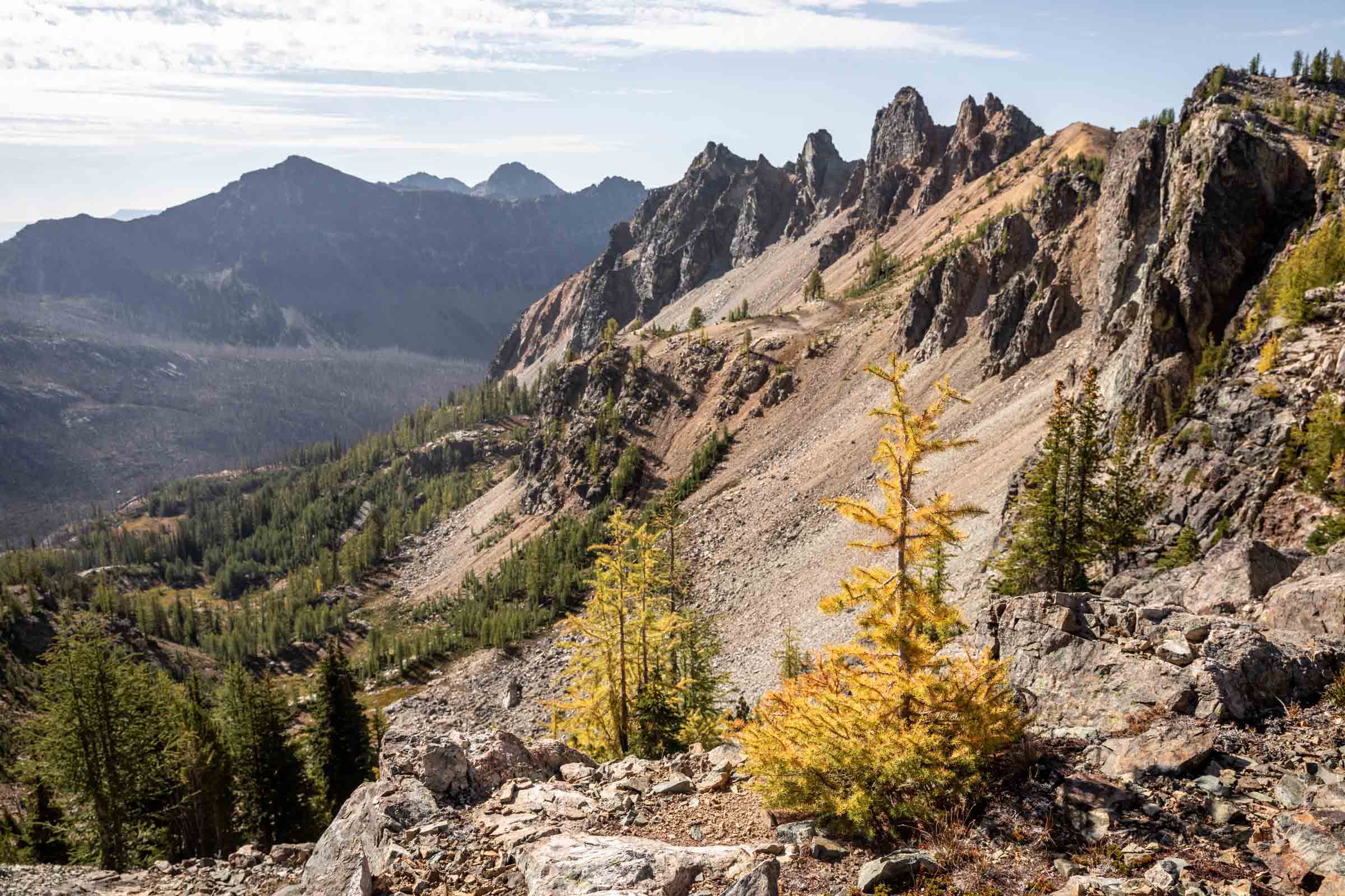
Thus began our leisurely trip. The trail was flat and we started to walk amongst green larches. Well, some were vaguely turning yellow just to tease us. Scott ran up ahead to scout a nice campsite for us while Jake and I slowly meandered our way to the final flat meadows at 6900 ft. There were few designated campsites and most were just flat grass but we ended up finding a flattened ground absent of vegetation that was perfect for our two tents. To our surprise, there were plenty of streams running even in late summer here. So we got a nice bath to wash the dust off our arms and legs each day.
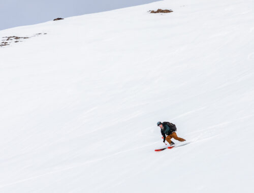
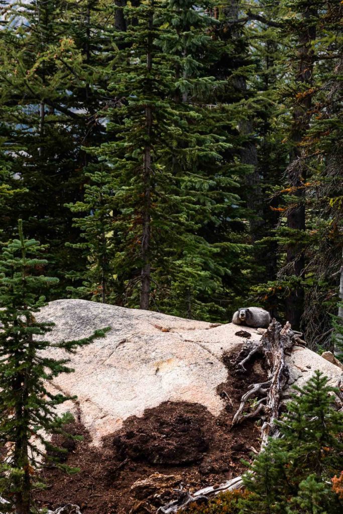
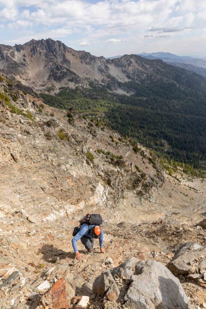
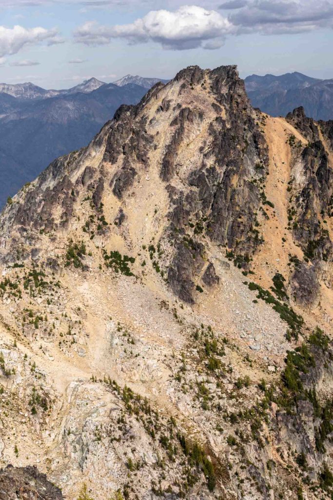
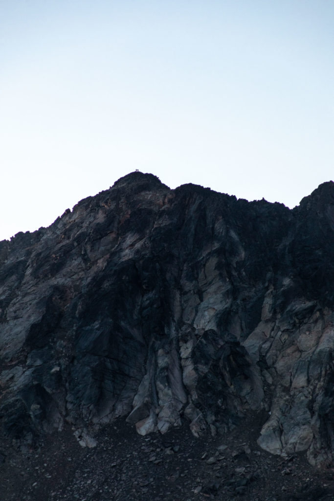
Since it was just early afternoon when we got to camp, Scott and I decided to knock one peak out and went straight for Emerald, the closest peak. It looked deceivingly far but took much less time than we expected since it was a straight up climb. From camp, the climb goes through the left most gully center of the peak and eventually traversed its way left on a bench. From there, a few routes exist to go up the peak. We took the left most route since it seemed more solid. A few slab sections but mostly choss laid ahead for us but topping out to the peak was fairly simple.
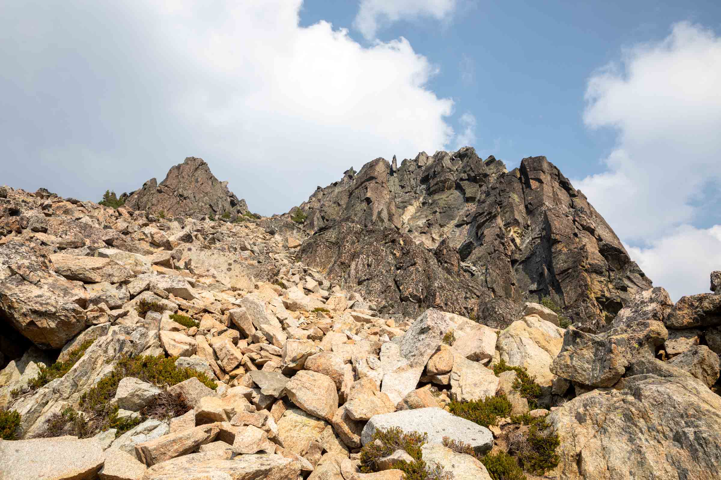
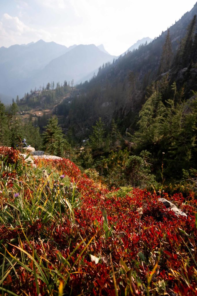
Smoke was billowing from the Airplane Lake fire by Mt Saul and it affected both our breathing and our views. We spent a rather short time at the summit before we felt the need to get back to camp for dinner. Less than 2 hours round trip, back at camp and continued our leisure time. While waiting for the sun to set, we game planned our next couple summits. Surrounding our campsite was Saska, Emerald, and Cardinal. It made sense to do link up Saska with Pinnacle, the furthest summit and leave Cardinal at the end of the second day or the beginning of the third day before we left.
Going to bed at 9pm and waking up at 7am made for one of the longest nights of sleep I had in a while, but a pleasant way to start the day in the sun. We were not rushed to be anywhere and had basically a typical length of a bigger day hike, so there was no need to start too early. Both us and the other team of 3 decided to tackle Pinnacle first to get the furthest item checked off quickly but a solo climber decided to leave Pinnacle second for the less technical terrain.
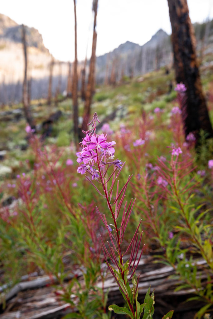
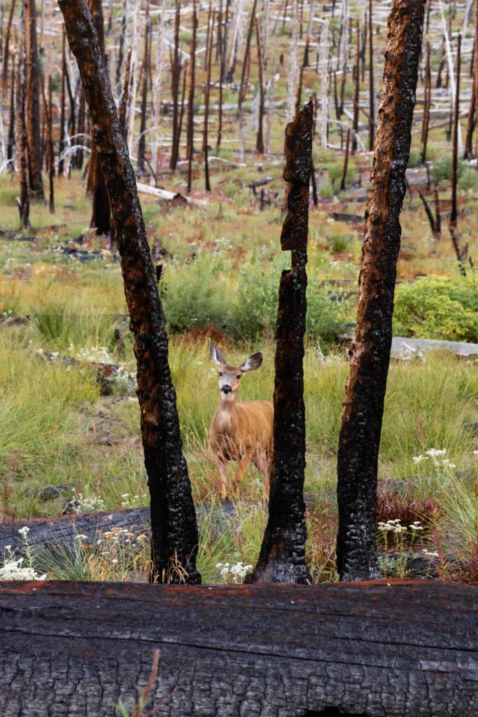
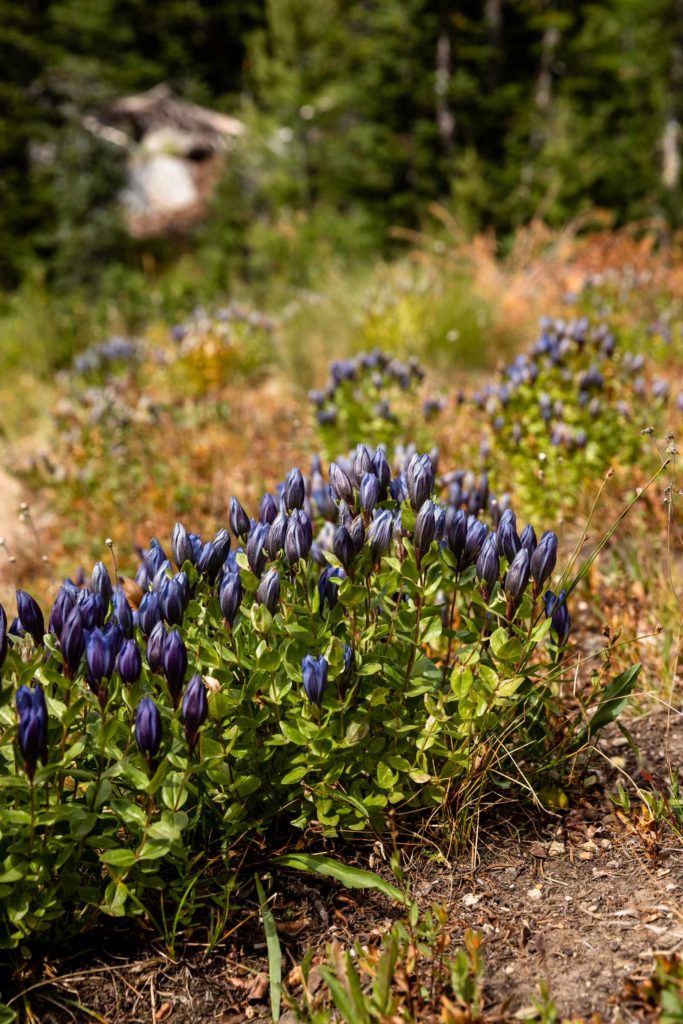
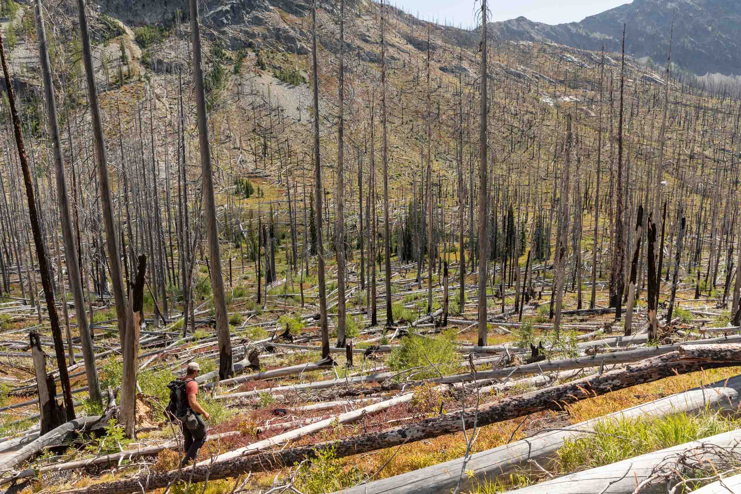
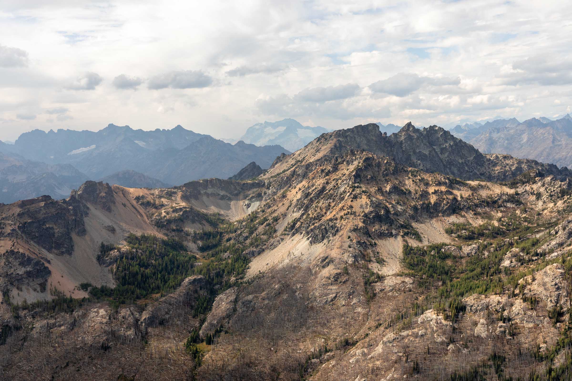
To get up to Pinnacle and into the Glacier Peak Wilderness, we took the trail a couple hundred feet up to the Saska saddle just to descend over a thousand feet through a burn zone. We took the trail as far as it made sense and then cut the slope like many people seemed to do in recent years. I questioned how this off trail travel would affect the ash filled slopes and what is most sustainable, but eventually we started going through more rocky and vegetated terrain, which holds up soil much better than dead trees. At the bottom of the valley, we saw plenty of fireweed and found a friendly deer that followed us for a solid 45 minutes. We weren’t sure what she was after, whether waiting for our salty pee, trying to pawn off our snacks, or maybe she was simply looking for help because she was limping.
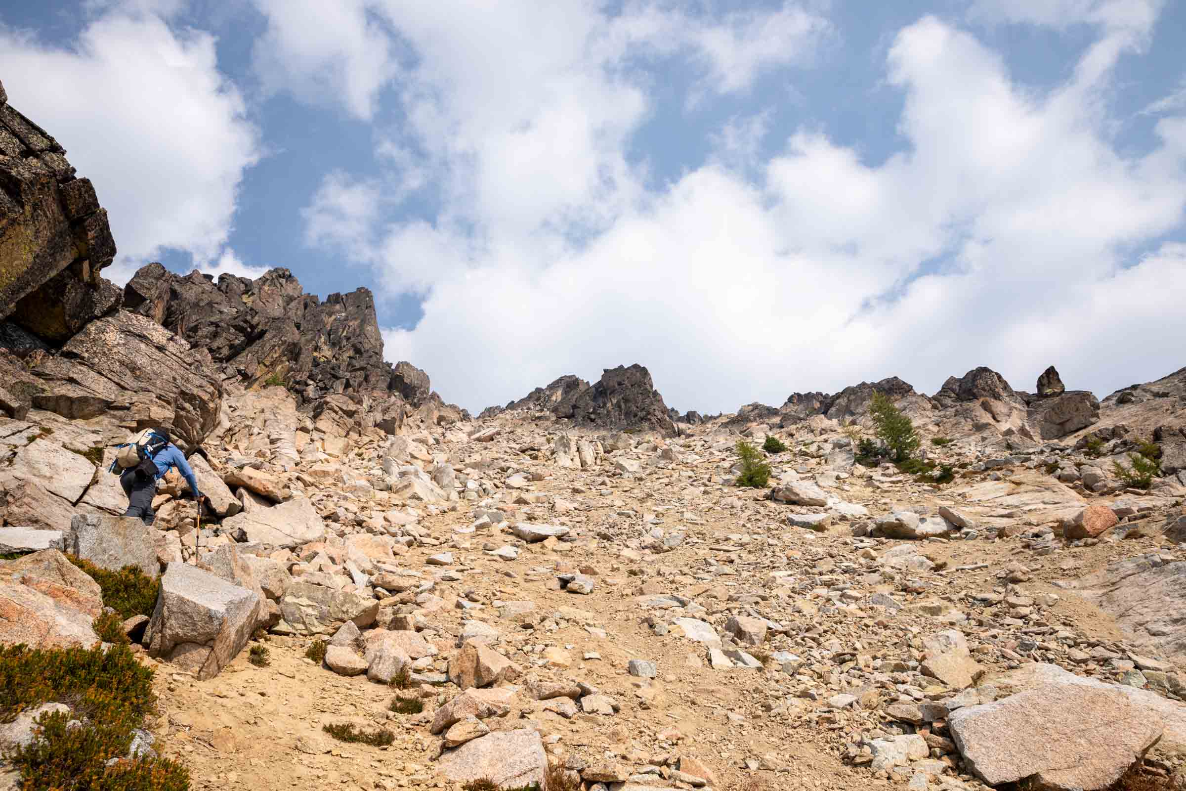
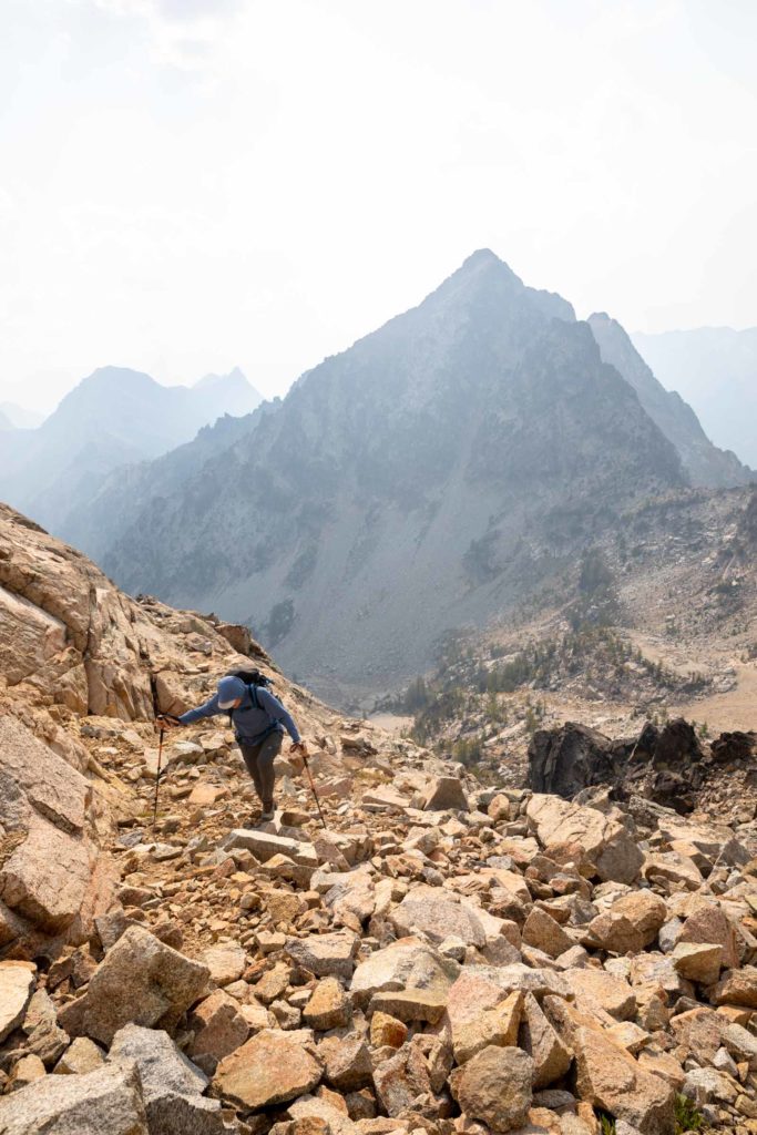
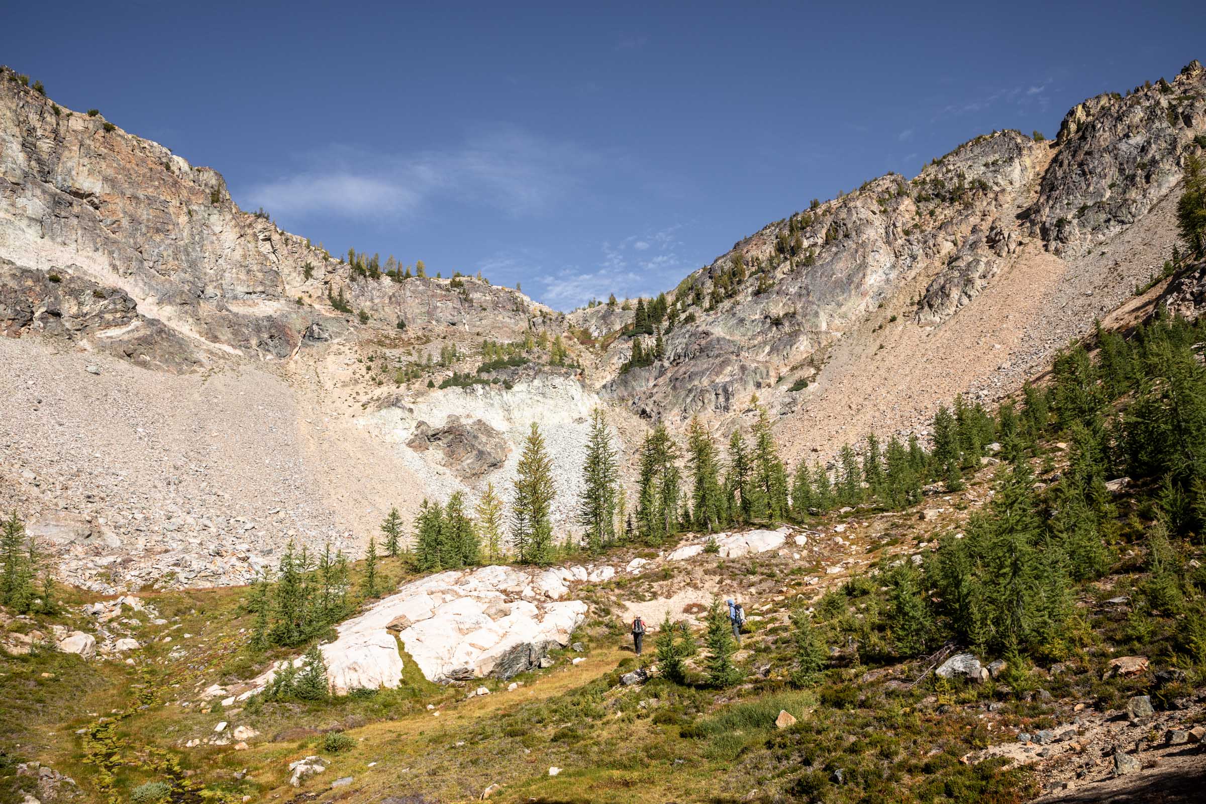
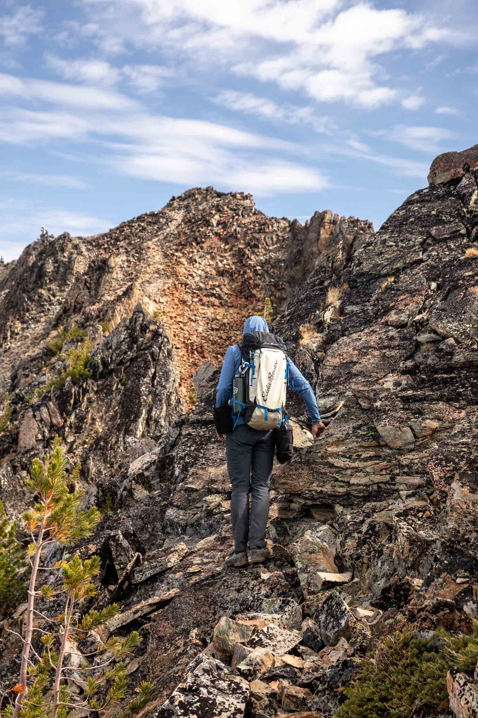
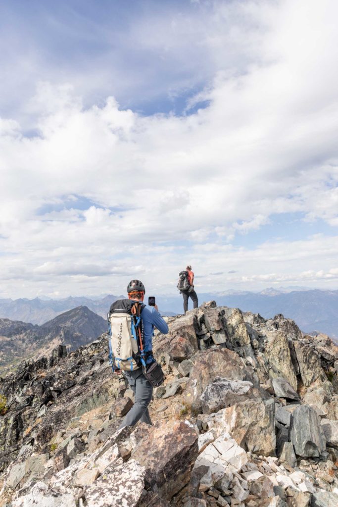
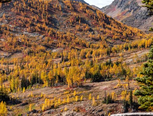
We literally thought she’d follow us to the summit but as we got onto steeper terrain, passing the pickup stick remains of the burned forest, she cut her losses and remained in the valley center. This side of the valley was less affected by the fire and it was a lush meadow filled with larches, many which were starting to turn yellow and gold already. Here, we started seeing the other team ahead of us and we followed soon behind their steps. Going up the gully instead of following the 45 Mile Drive trail the whole way around the ridge, we still popped onto the ridge with ease. Now, we could finally see the final ridge of Pinnacle Mountain. Only a couple hundred feet of loose scree remained between us and the easier traverse on the ridge.
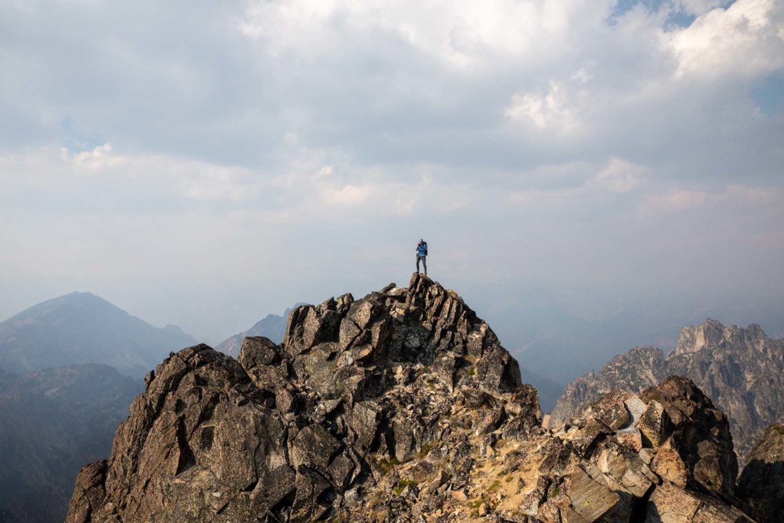
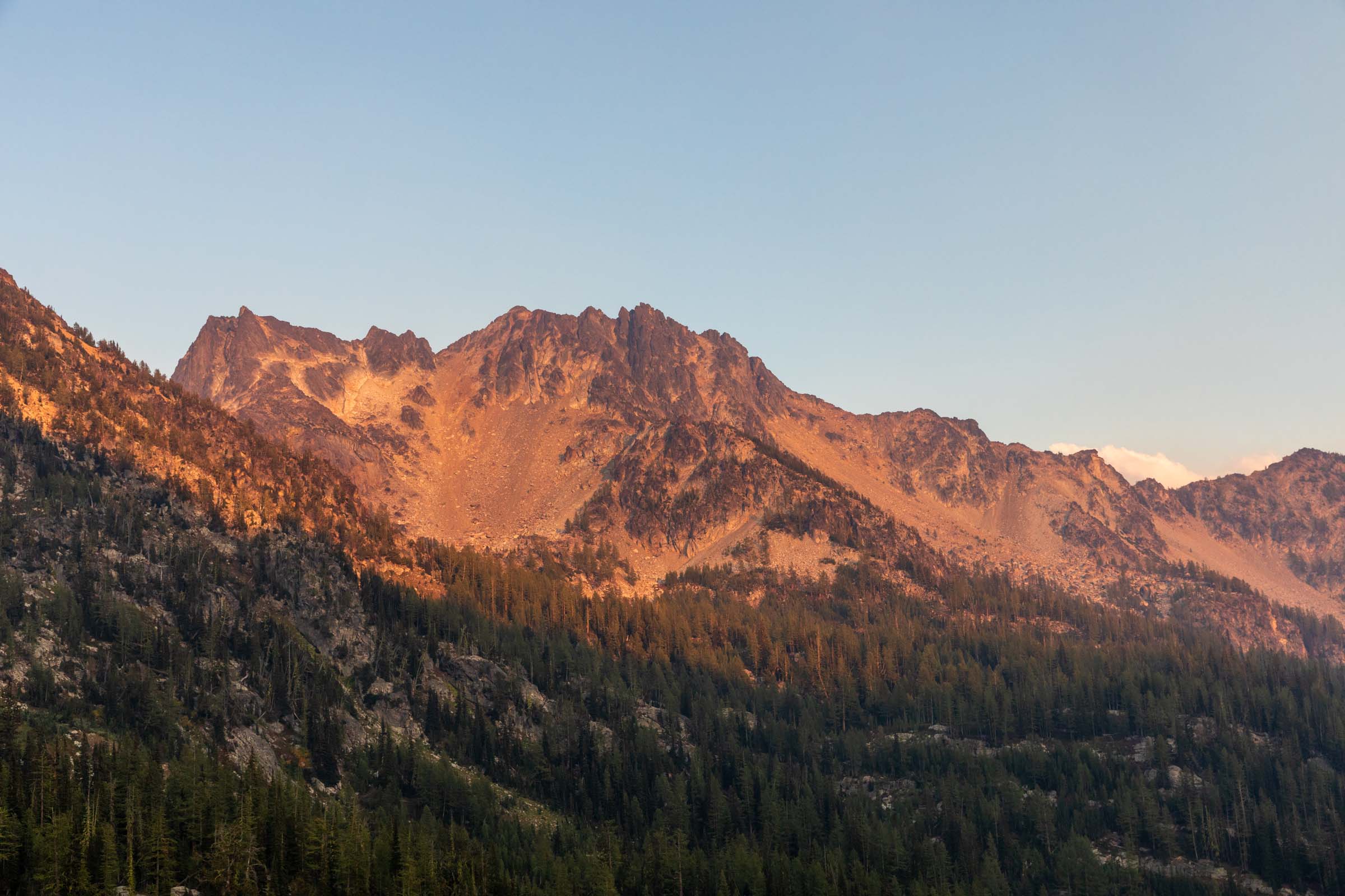
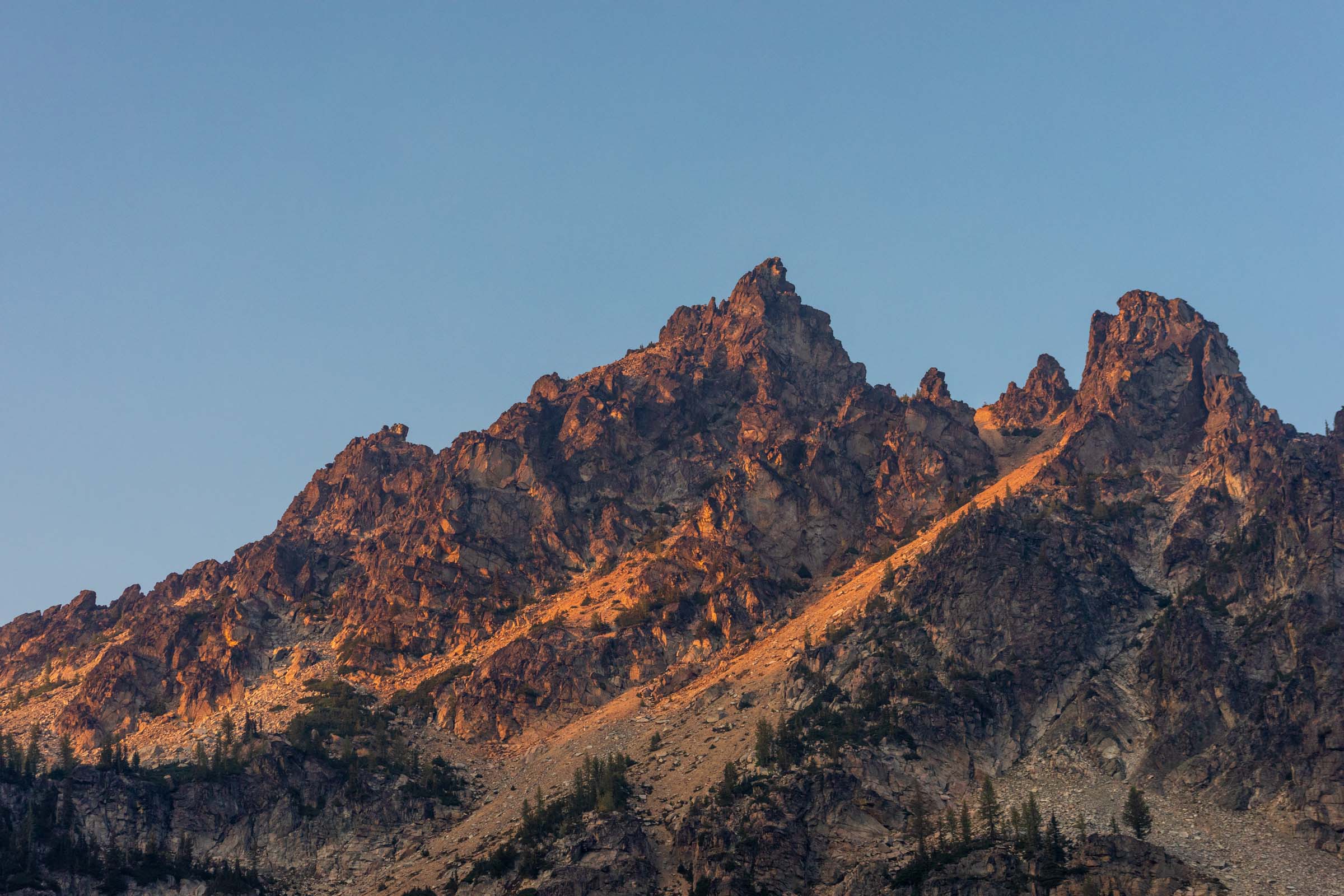
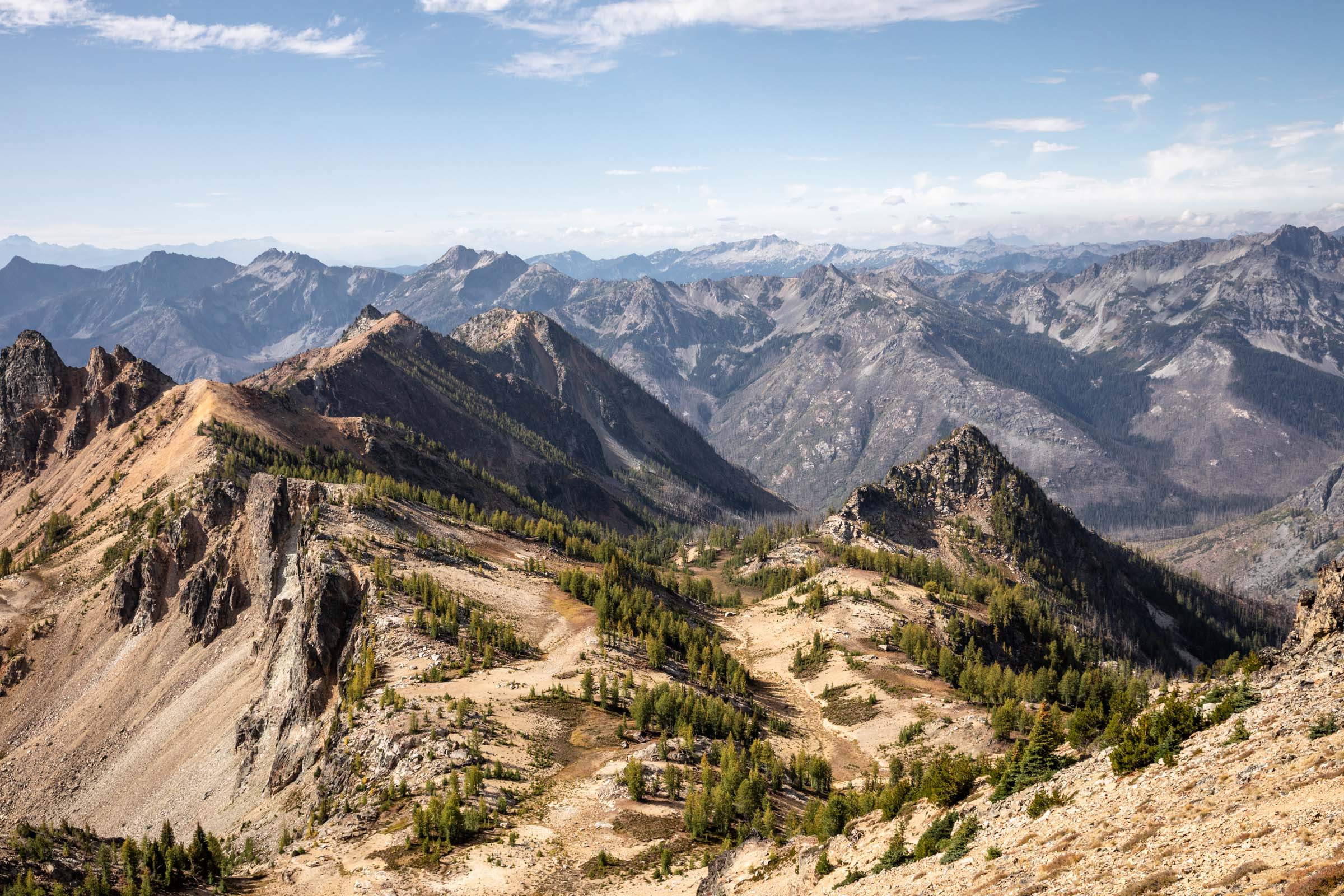
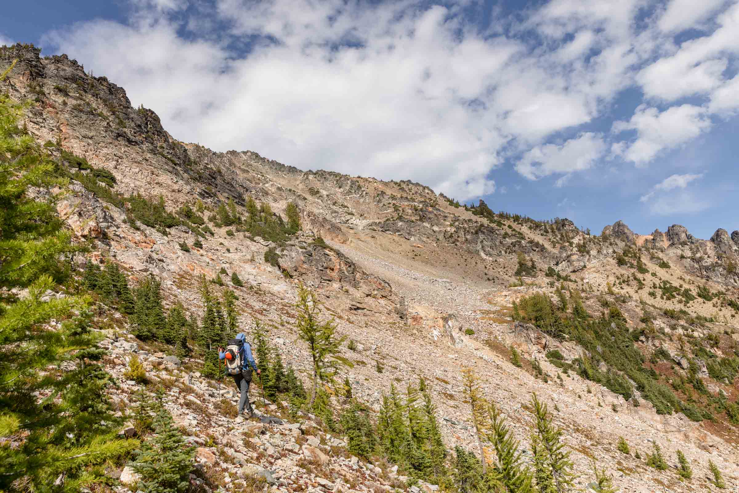
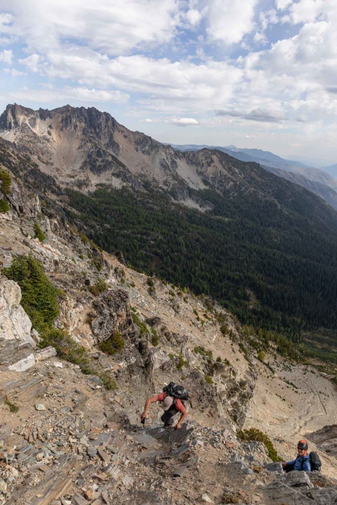
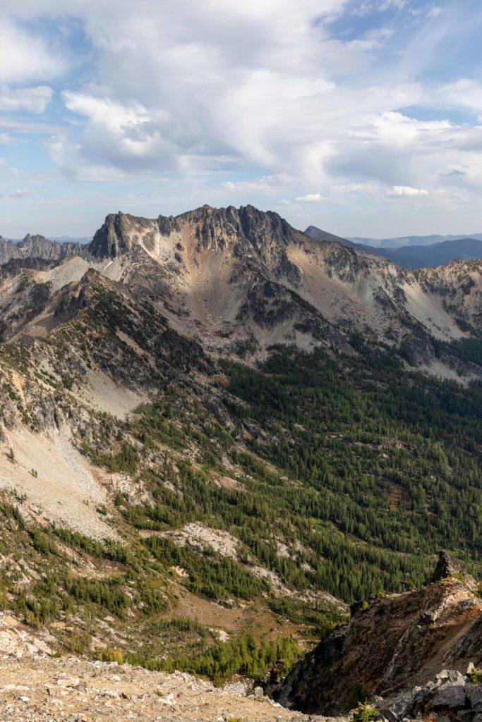
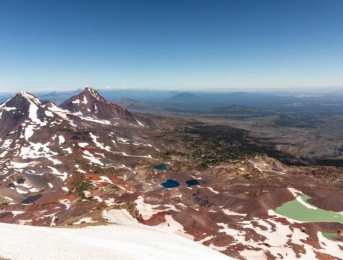
The views from Pinnacle were spectacular. We soaked in the views from Lake Chelan to Emerald Peak from yesterday and as far out as Eldorado, Glacier Peak and Stuart. The descent from Pinnacle was even more beautiful than on the way up because you could see the meadows so clearly the whole way down. We got plenty of scree skiing in and much more of ash running but soon we faced our uphill battle again through the burn zone, slipping a bit but making our way up. In our minds we told ourselves, just 2500 feet up to Saska, just like Pinnacle, no biggie. And truly dividing up the climb that way helped mentally instead of thinking we had a 5k day ahead of us.
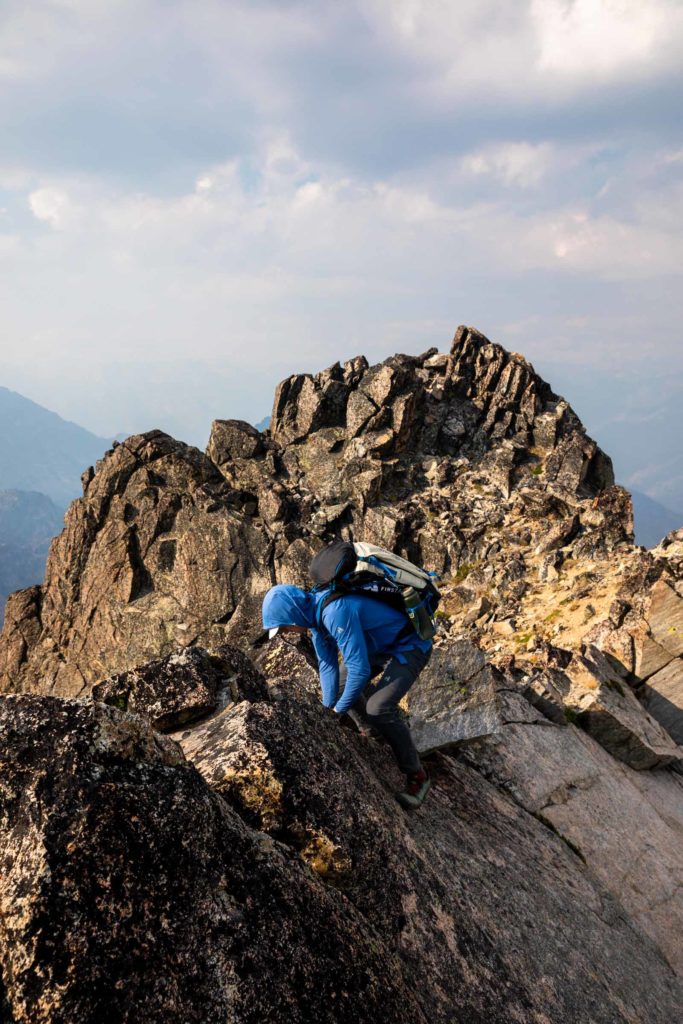
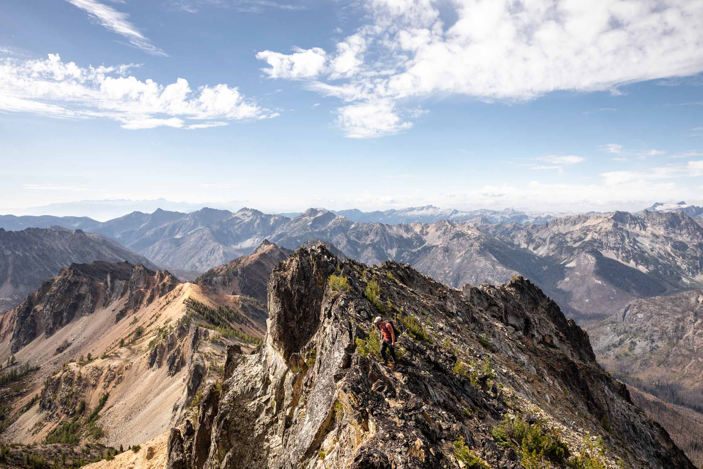
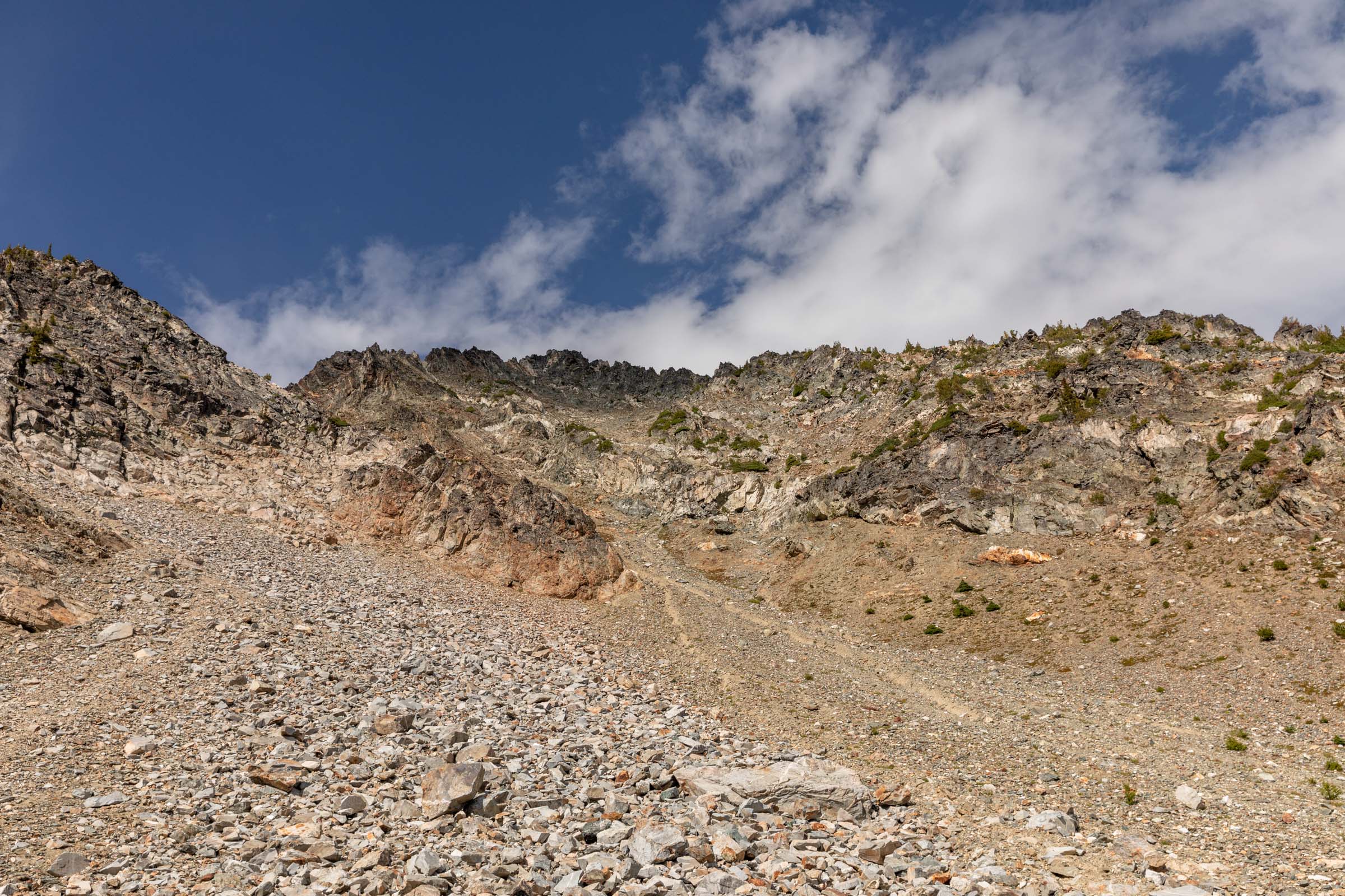
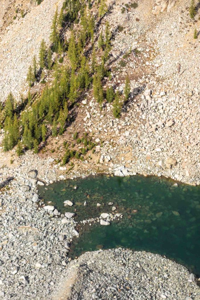
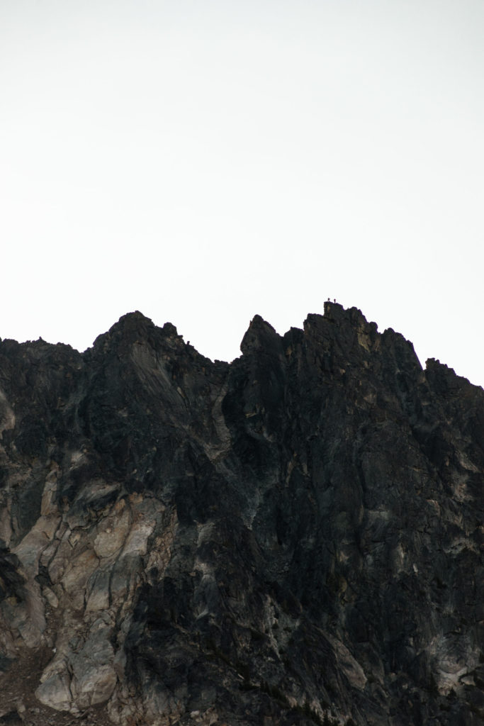
After leaving the boundaries of the Glacier Peak Wilderness, we went down the trail and started traversing before the next switchback. A few minutes later, we laid eyes on the treacherous scree slope that was daunting us since we first read trip reports. Just as expected, it was not enjoyable whatsoever going up. We followed one water runoff trench and had to meander a few times before getting on more solid rock. We took probably a less ideal way, in between multiple tracks we downloaded, avoiding more scree and also not going as far climber’s right as we probably should’ve. Eventually the top of Saska was much more solid and enjoyable and we let out a hoot and holler. From this summit we saw a neat little glacial tarn beneath us, not quite on a map.
Getting down was much more smooth and less exhilarating than the way up, which can often be the case when you can see all the routes from above but couldn’t from below. Luckily, we communicated with the other team and we allowed a safe ascent and descent by not climbing above each other. From the summit you could generally see the progress of the other team and no one was in a rush, so everything worked out quite nicely.
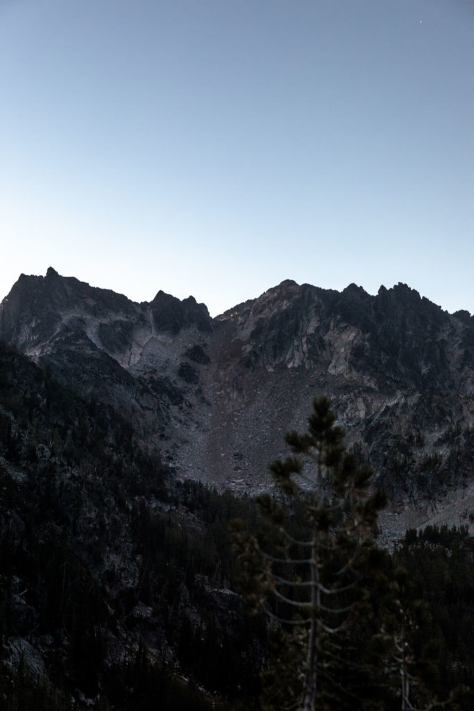
Saska was still very close to camp and we had yet another leisurely evening with just as nice of a sunset as the day prior. The next day, I decided to opt out of the full Chelan Slam and skipped Cardinal. Normally I get peak bagger’s high, so I made my decision based on if I would feel FOMO for missing the peak and the fact I was feeling quite tired already and dreading the bike ride out. It was a great decision and I was able to track Scott and Jake as they climbed up in the dark, heard their summit yell and saw their quick descent. I would be lying if I said I wasn’t a little jealous of the sunrise they saw from the ridge and summit, but it’s hard to beat a gentle quiet morning cozy at camp. Since they got back down much quicker than anticipated, we were able to take our time to pack up and hike back down to our wheels.
Biking downhill over the trail was much easier than I expected though there were definitely sections I still had to walk the bike. But at least we were a little bit faster than walking and saved our feet a bit. My quads may have been equally tired but my feet still felt fresh back at the car. It was no doubt the more treacherous mode of travel but also way more fun than walking along the valley floor. Would I do it again? Perhaps, but not necessarily. All in all, a fairly leisurely time outside with 3 peaks bagged and 2 restful nights of sleep, I can’t complain!


Notes
- Road to the North Fork Entiat Trailhead is rutted in spots and difficult for low clearance cars, especially the last section has a few dips, potentially doable in a low clearance but best for slightly higher clearanced cars.
- While you can take a bike on the trail, it is best suited for those willing to mountain bike. It is a trail, it is not wide in places and quite rocky in other places. We saw plenty of other bike tracks on the trail.
- Pinnacle is the only peak in the Glacier Peak Wilderness and wilderness rules apply.
- A good spot to camp is under Emerald in the 6900 ft
- Download tracks from peak bagger if you want to follow gpx, which is mostly helpful on Saska if you want to follow a preferred route. Otherwise you can mostly get up by visually choosing your routes.
- Check out Scott Kranz’s WA 100 project and Jake Moon’s photography
All photos taken on a Canon 5D Mark IV


You May Also Like
technicolor larch dream | chiwaukum loop
a summer grind | south sister summit hike