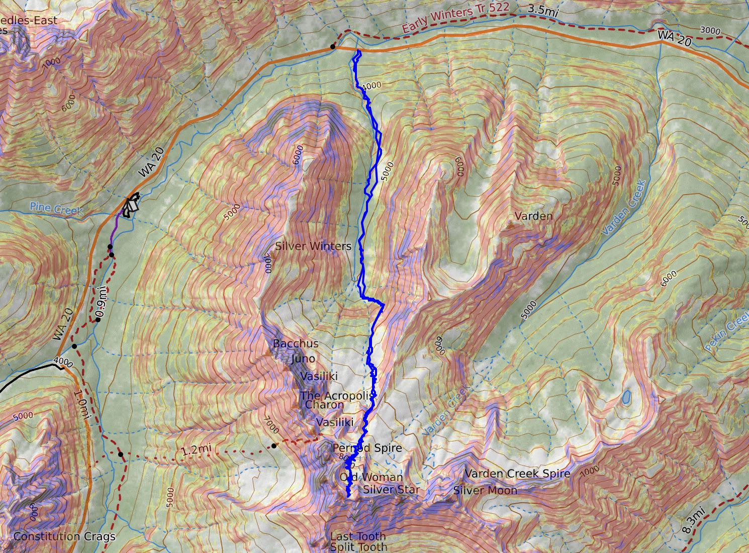
spring bound | silver star mountain via silver creek ski tour
12 miles . 5400 ft gain . 8630 ft high
When the North Cascades Highway opens, backcountry skiers will flock over to Washington Pass and find that sweet spring corn snow. And yep, I’m just one of the many people out there!
Side note: SR-20 has a different opening day every year due to the snow levels for that season. Depending on how quickly the road workers clear the snow off the highway, we could have 1-2 weekends worth of car-free biking on the highway! And if you miss biking, at least it means an easy drive to the mountains. Technically, you could drive the long way around to Mazama and access some of the eastern parts of the North Cascades in the middle of winter, but it really is a much longer drive.
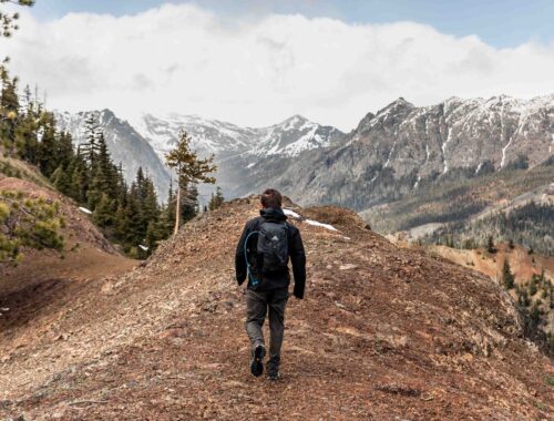
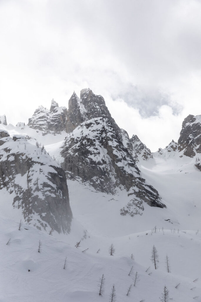
Silver Star Mountain has been on my list to ski for a very long time now. Since it is more than 3 hours to drive each way, the North Cascades isn’t somewhere I want to head to every single weekend, despite how beautiful and alluring it is. The last time I skied out there was a few years ago doing a cool loop that is sort of the anti-birthday tour. Like the famous Birthday Tour, this unique path is a loop but with far fewer people and circumnavigates Kangaroo Peak. From that tour, we saw the jagged ridge that makes up Silver Star Mountain. It looked entirely ominous and forbidden. Which then makes it all the more attractive in the view of a peak bagger/climber/alpinist, right?
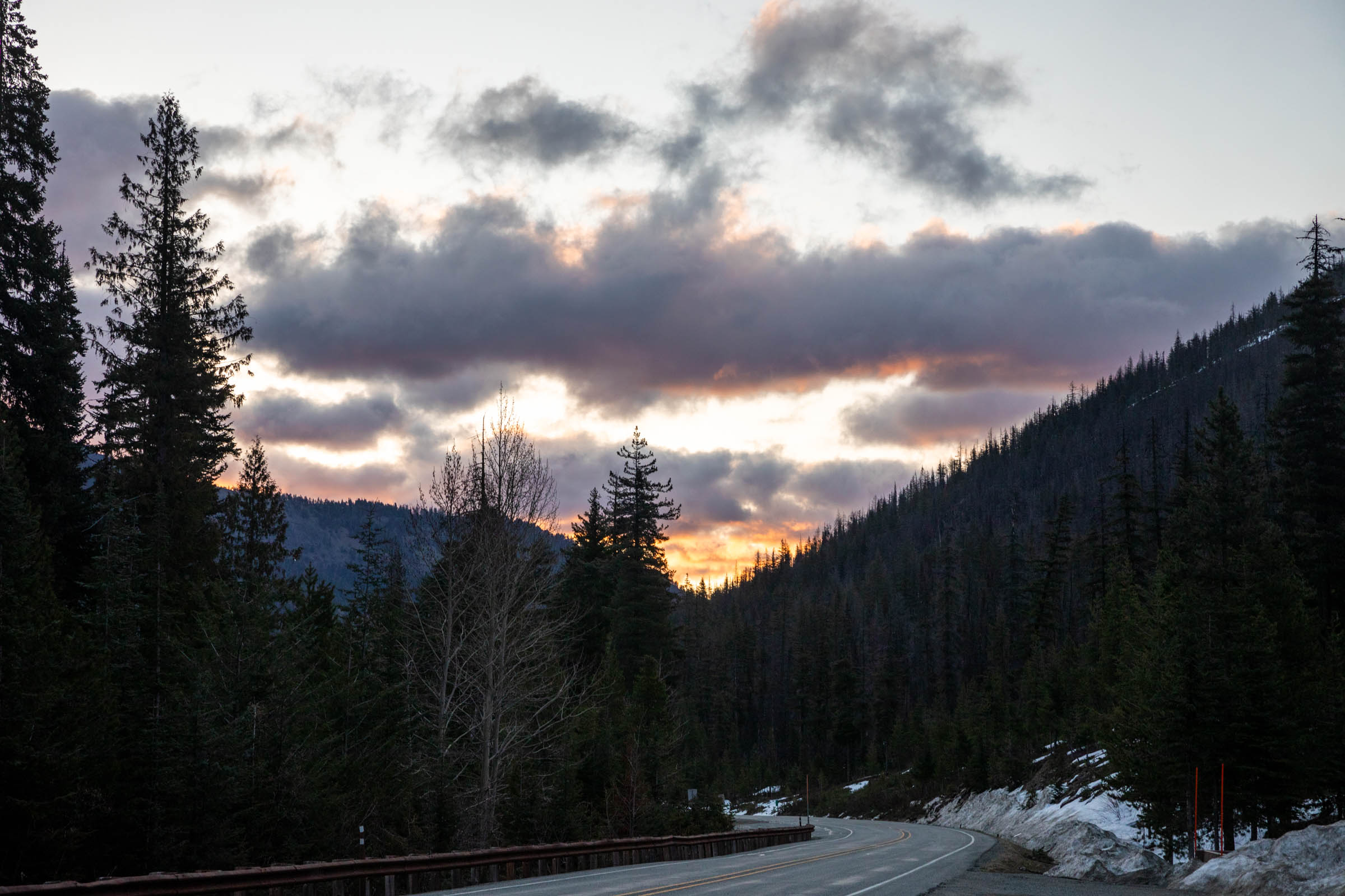
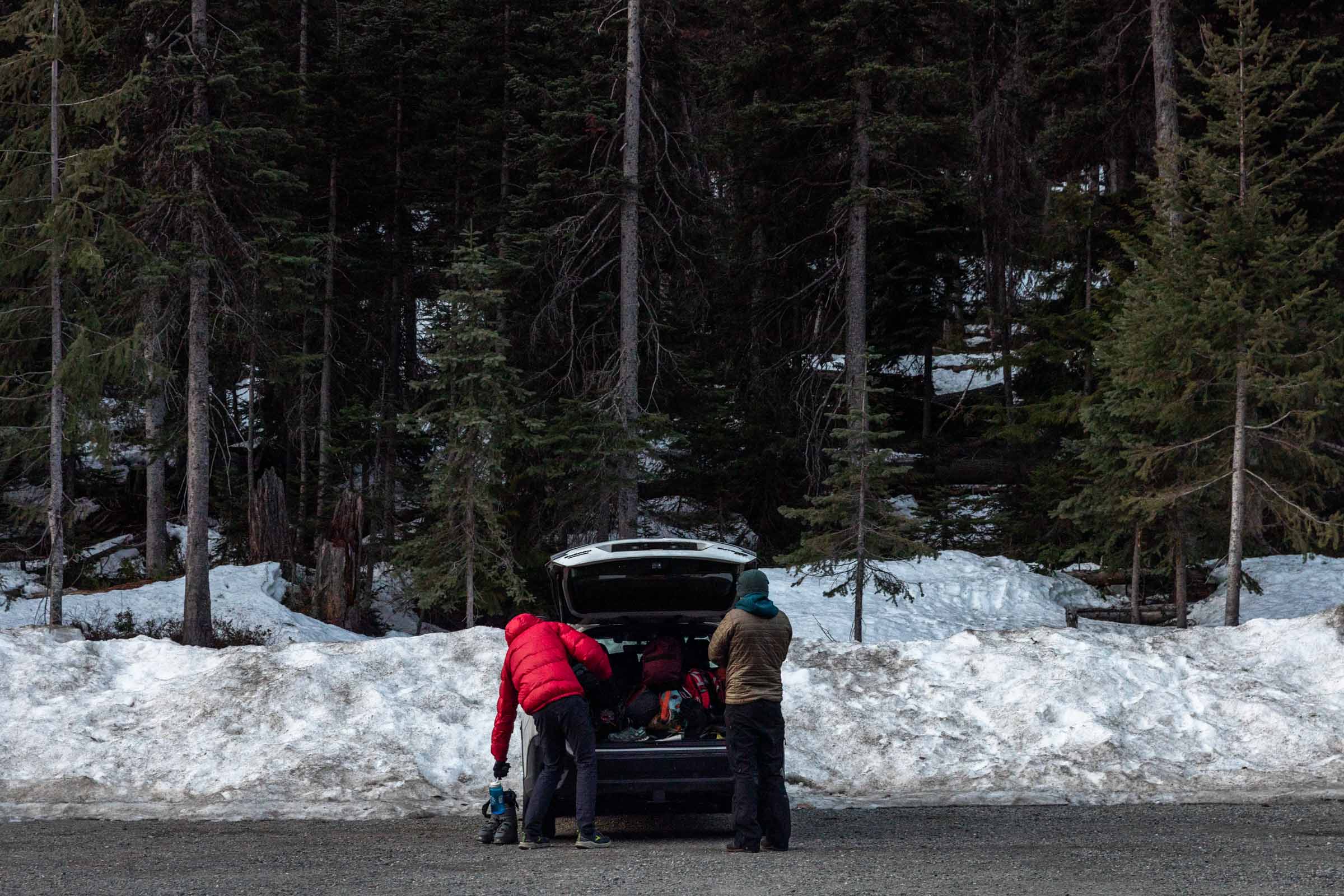
Happy to get a crew together down for anything, I convinced us all to head up Silver Star bright and early. We were able to get a campsite at the Klipchuck Campground. Lone Fir Campground was still snowed in, but there are also plenty of spots along/near the highway that you can use as an overnight spot before your early rise. It was lovely to have toilet and running water at the campground. Worth the extra 10 minutes to drive in the morning!
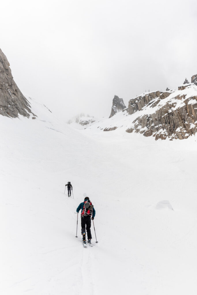
We missed sunrise by a little bit, but there was little to see due to the overcast sky. We began at the Silver Star Sno-Park. I think there is a summer (or spring) trail that is not fully marked anymore. I tried hard to look for the flags that Sam (Engineered for Adventure) said he followed, but I feel like the forest must have burned down between our trips because the flags only existed right next to the road. However, he was correct in that the trail was well maintained for a climber’s trail. The only issue was that this time of year, the trail was half covered in snow that was either ice in the morning or leg-swallowing slush by afternoon.
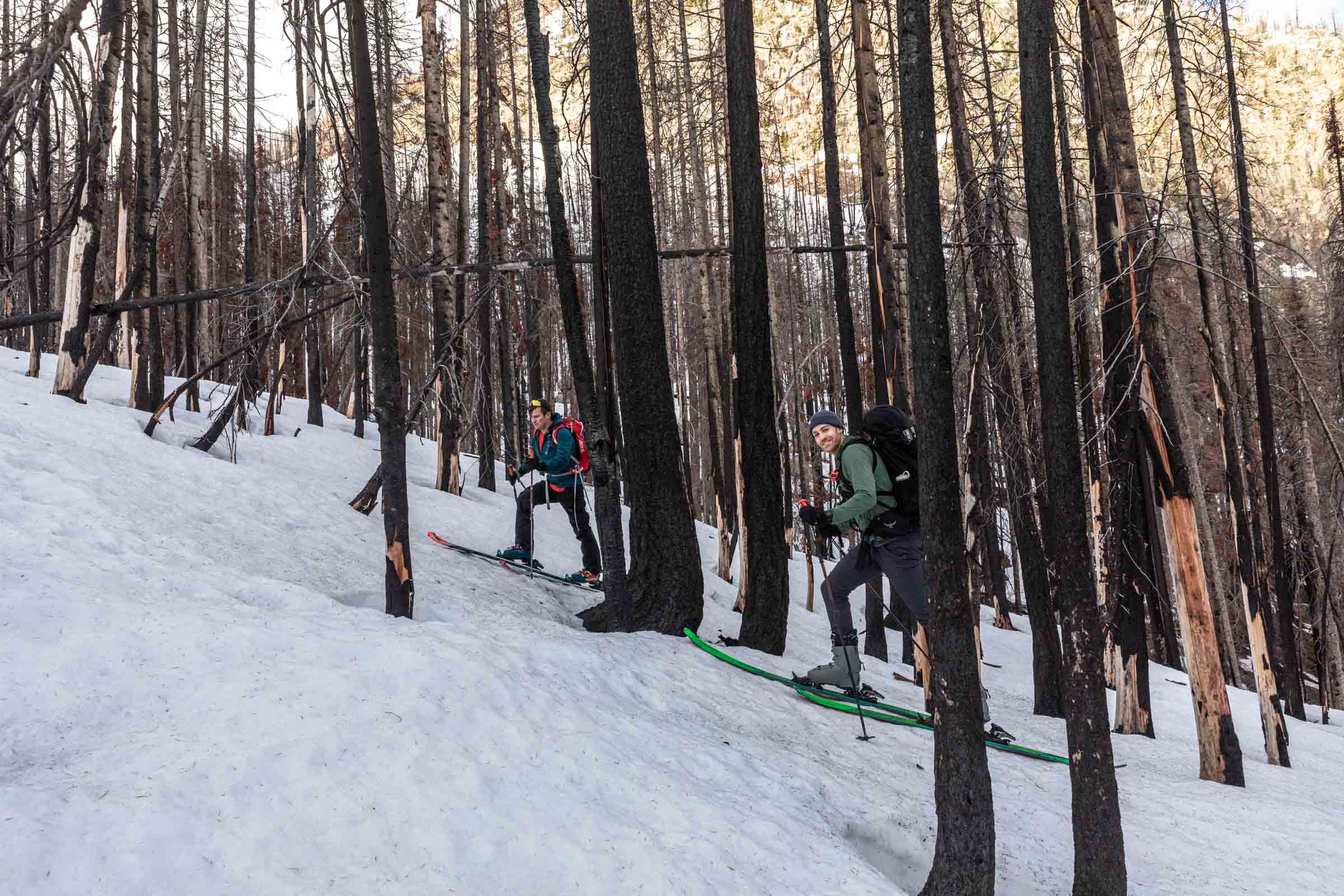
The path of least resistance proved to be traveling on dry ground and minimizing time on the hard-packed snow. There were some footprints that would show up occasionally and we wondered if any were Sonja’s from the weekend before. We debated hard before we decided to start skinning once we saw a large stretch of snow ahead of us. Turned out to be a great decision because we never encountered dry land again! This was 600 feet uphill from the car.
Skinning was relatively smooth but occasionally we’d pull out the ski crampons for extra assistance. On this overcast, but warmer spring day, we used crampons until around 6200 ft. However we had to boot up the steep alder section around 5400-5700 ft. It might be possible to skin up, but I’d recommend going up the right side instead. It is more distance but you avoid more steep terrain. The views just keep getting better the higher you go, so it’s a great motivation to keep going.
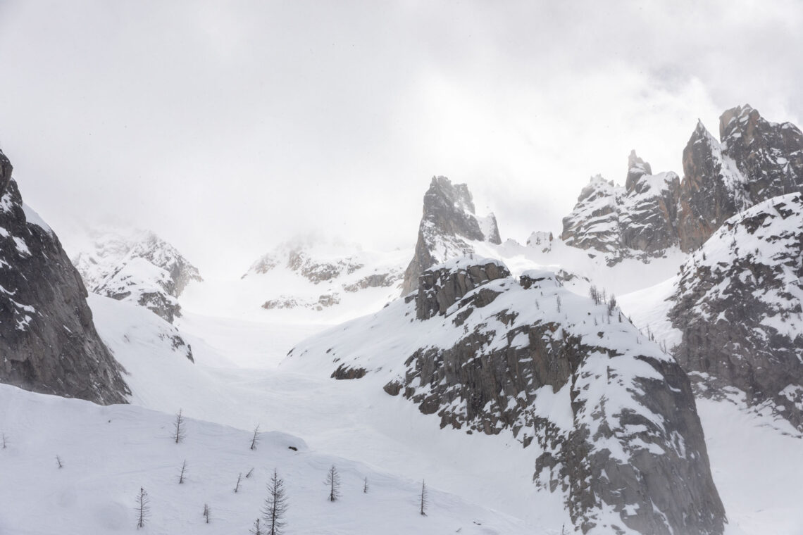
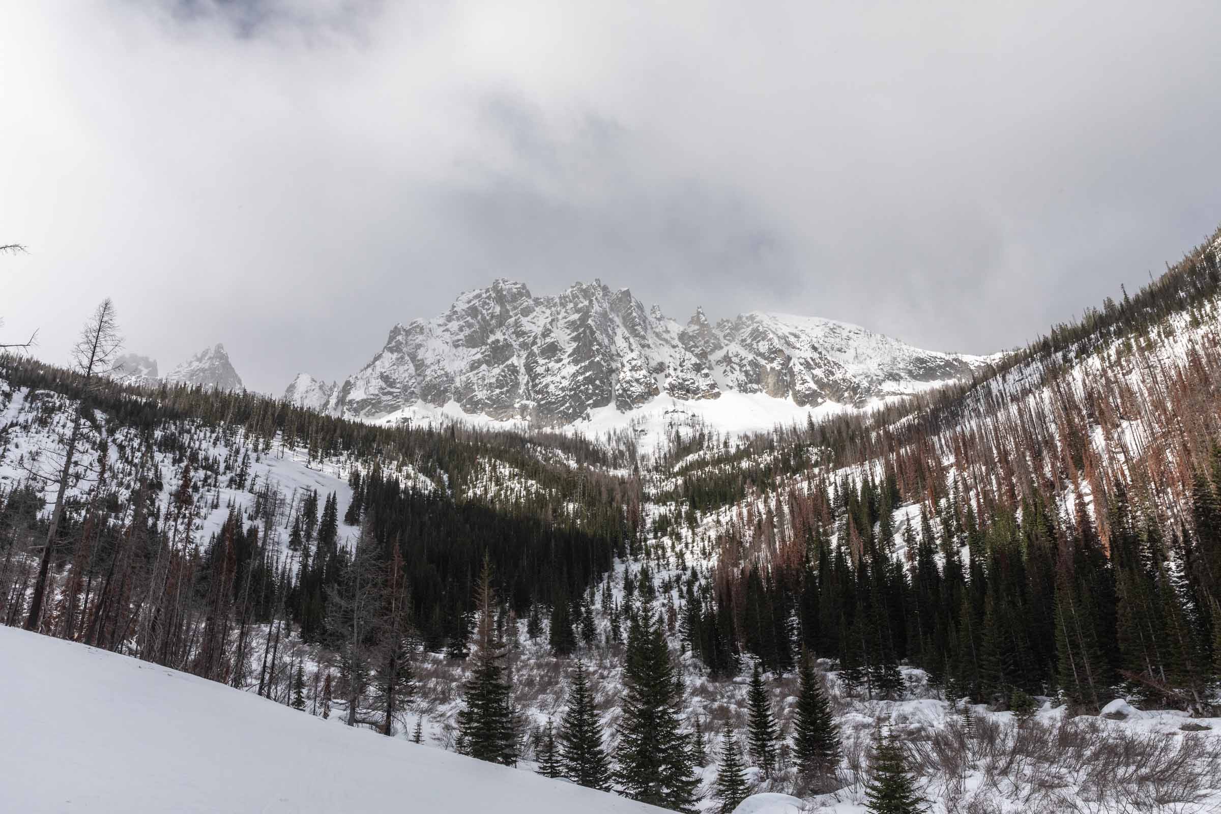
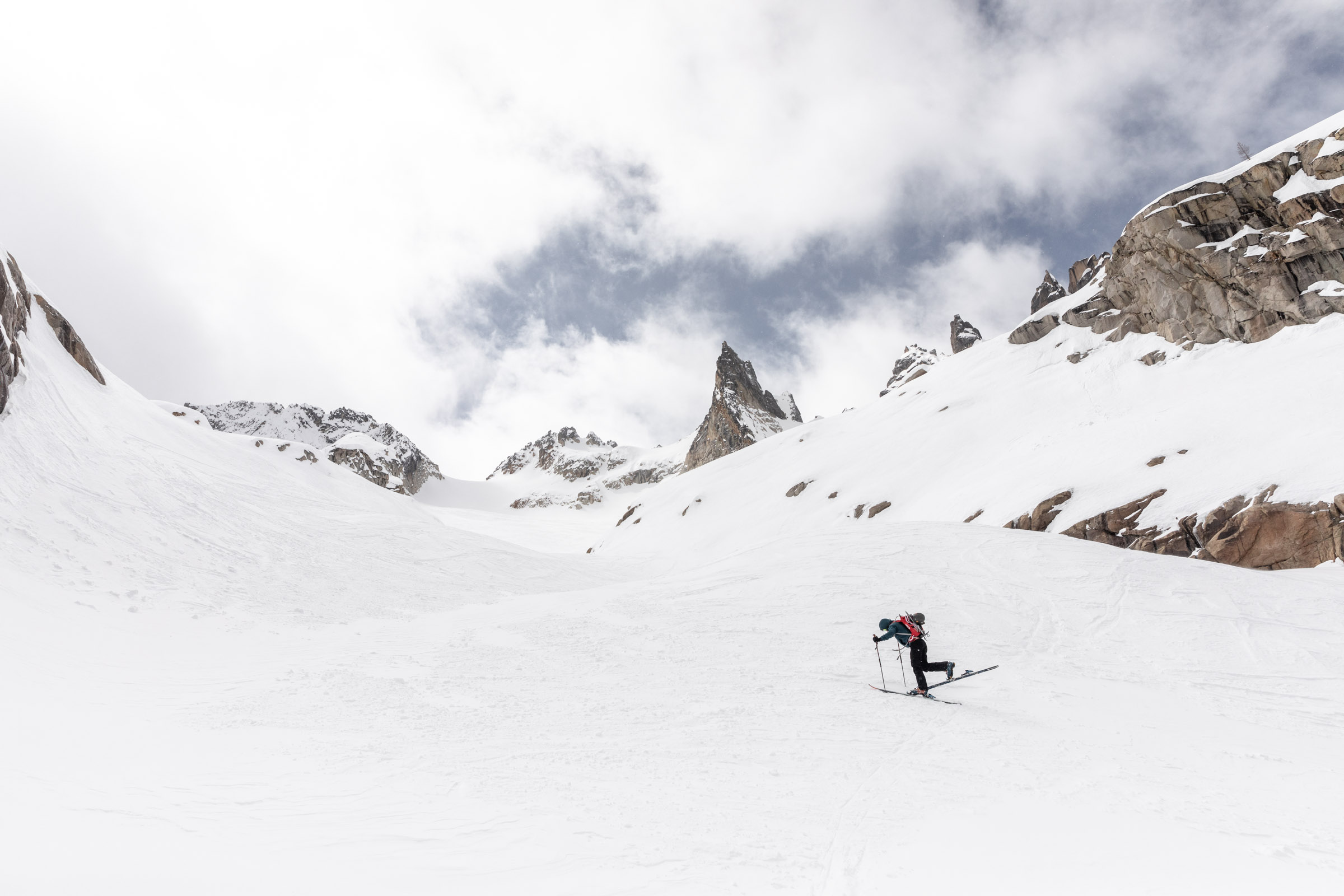
Generally, we stayed in the east gullies or ridges to get up, whichever was least steep. On the upper slopes, above 7000 ft, we noticed the snow had more wind slab textures. We played it safe by staying farther from the rocks, which are warming hazards to the snow. Overall, we didn’t see many other instabilities until the snow started warming under the intermittent sunlight. To my dismay, we didn’t get any views at all from the top of the col of Silver Star.
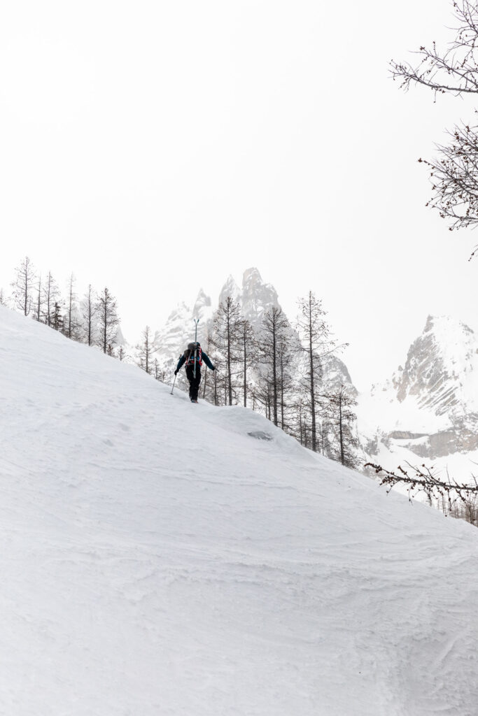
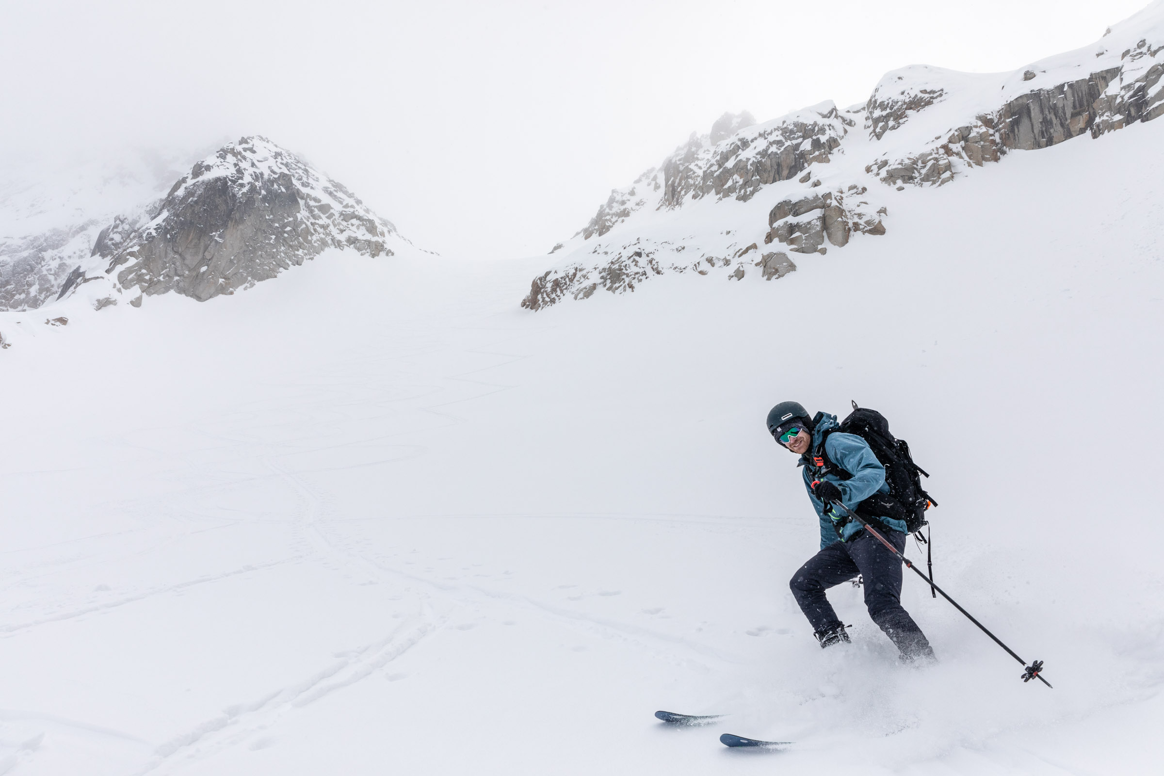
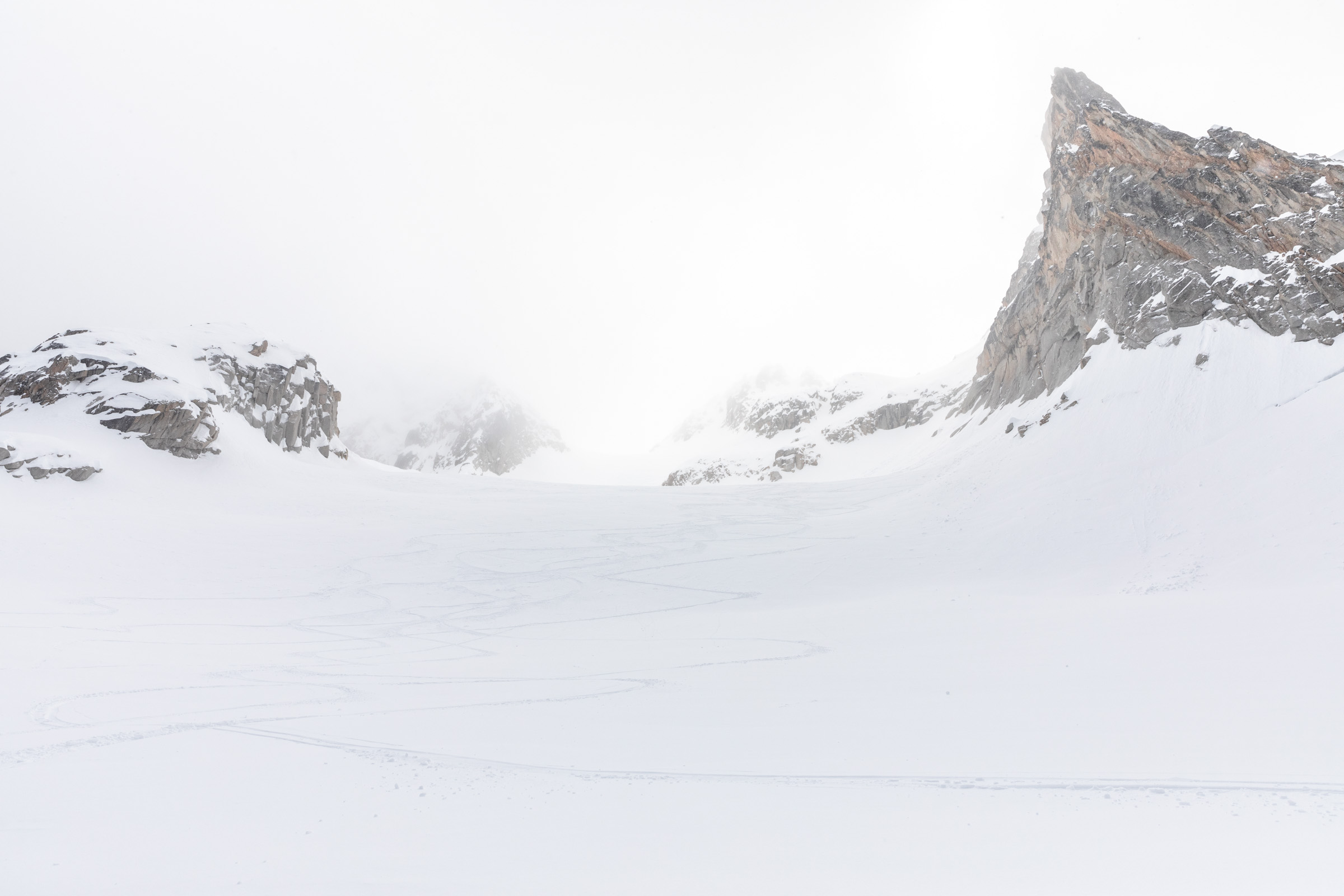
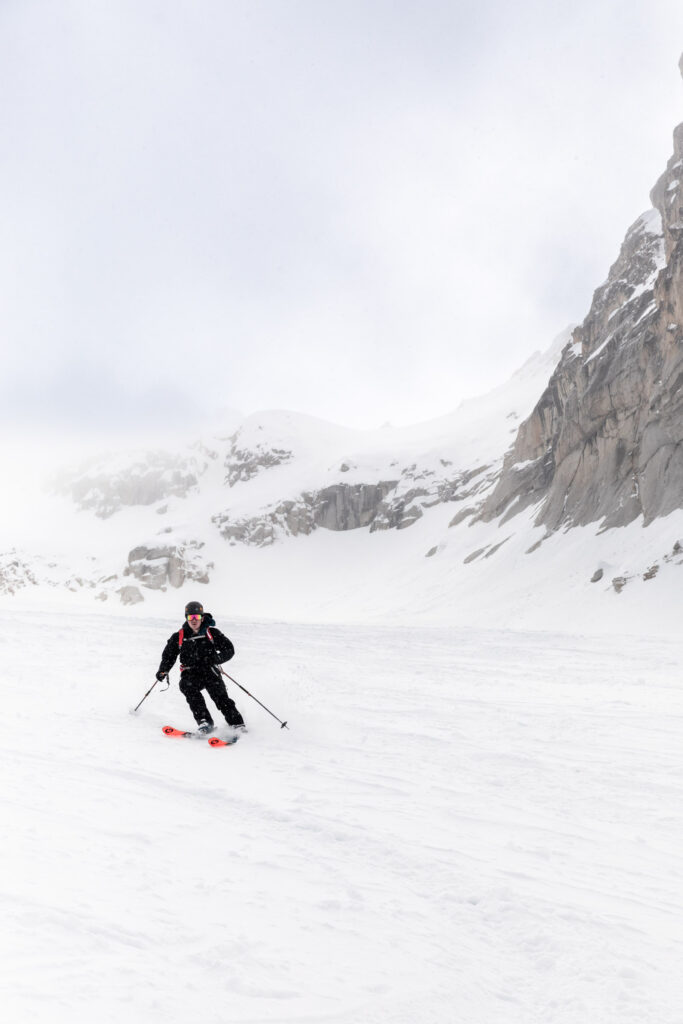
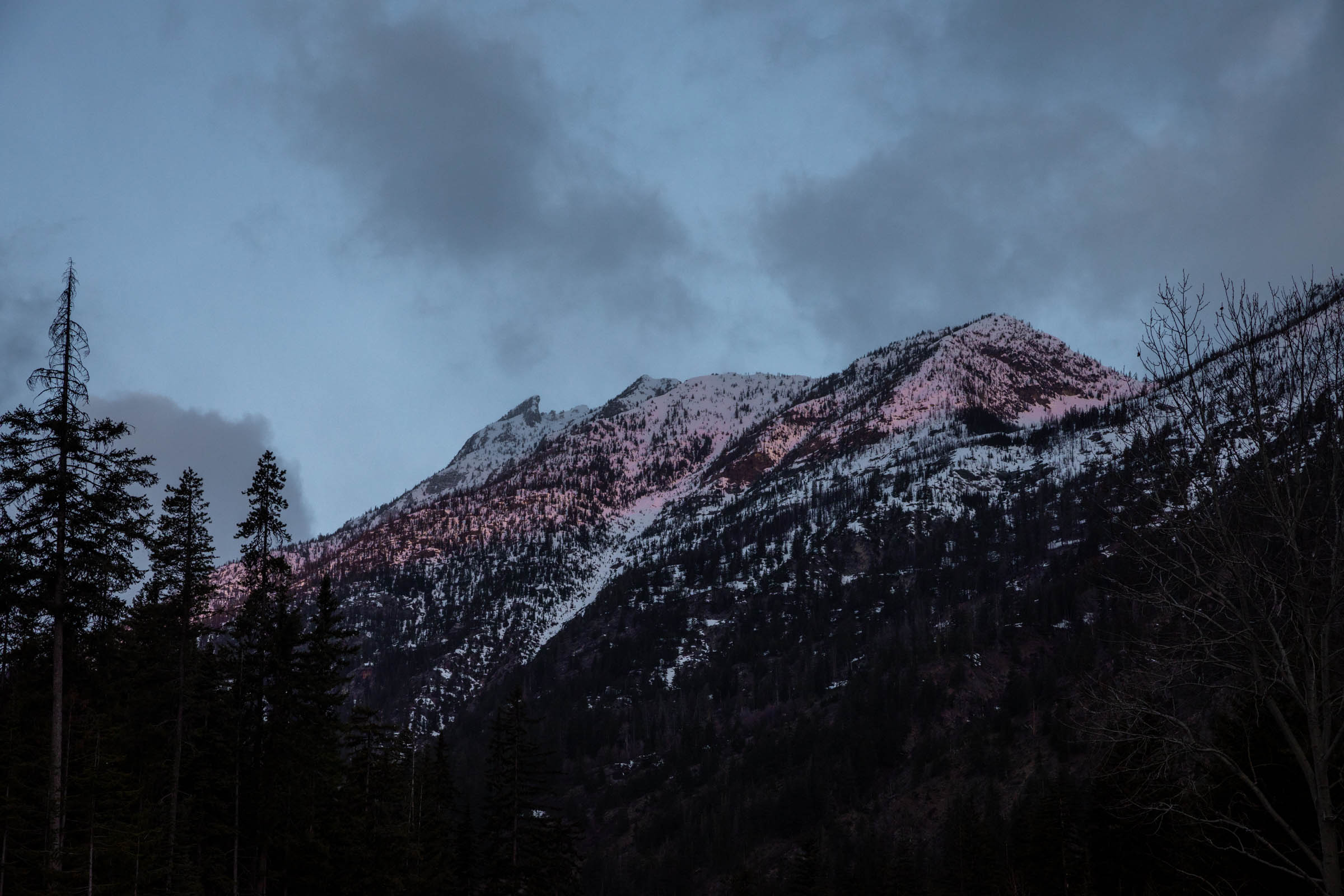
On our descent, we started getting views again and the light behind the spires were incredible! It’s like they were all lit with a halo. We were all a bit tired, so we just booked it down as fast as our tired legs could handle. The first 2000 ft of skiing was on deep, fresh snow that likely got dumped from another aspect. Below that, we got some grabby snow that was hard to turn due to the collapsing crust and light layers of snow drift. Then, it became all icy with the fearful scrape-y sounds. Thankfully, that lasted only a couple hundred feet before a lovely corned-up snow down the section we had to boot up.The corn only lasted 600 feet or so before the forest section. I decided to skin out the flat areas due to some ankle issues, but I was slower than everyone else just hiking in downhill mode. They were very patient waiting for my slow transitions and long snack breaks. The forest was surprisingly good to ski through, not too steep with well-spaced trees and the ice-slush fest was manageable. We thought we could ski down further than our first transition spot, but we similarly had 600 ft to boot down. Surprisingly, it went by quite quickly though we got a little lost in the bushes 50 feet from the car. By the time we made it back, it was only mid afternoon, with plenty of daylight left!
I think we timed our descent well, hitting the snow at nearly the best conditions for all elevations. It was still a bummer we didn’t get our view into other North Cascade peaks, but Silver Star itself was very fulfilling!
Notes
- Trailhead: Silver Star Sno-Park
- Route: Travel along the Silver Star Creek, common winter route, as opposed to the summer route that approaches from the west side.
- Gear: We brought ice axes and boot crampons but didn’t use them. It might be helpful in certain snow conditions, dependent on weather. We found ski crampons helpful, but with good technique, you might not need it.
- Time: It look us 10 hours including breaks, 7.5 hrs for the uphill
- Other: We only booted for a steep section around 5500 ft region. The snow was good enough to skin up the rest of the way.
Photos taken on Canon 5D Mark IV


You May Also Like
Kühl Spyfire® Parka Review

feasting and glamping | goldmyer hot springs backpacking