canyon maxxing | englestead hollow – orderville canyoneering
10 mi . 6790 ft high . 300 ft rappel . about 10 rappels
Zion National Park, Zion Wilderness, Orderville Canyon Wilderness Study Area
Note: This is a technical route, rappelling and rescuing techniques required to descend the canyon.
I “grew up” with friends who got into canyoneering and quickly checked off many canyons in Southern California and the Southwest Desert. And on this trip, one friend really wanted to get down Englestead Hollow Canyon. Knowing little, I said I was game. Then the friends also expressed interested in finishing through Orderville and the Narrows. And I said yes again, having a limited idea of what it entailed. Little did I know it would become a long day where I trudged a lot but also mind blown by the amazing canyon. We saw zero people up until the day hike section of Orderville that merges with the Narrows.
Need-To-Know
- Permits are absolutely required for canyoneering within Zion National Park. They are released quarterly with the seasonal lottery with additional availability for daily lottery and walk-up permits. Generally it costs $6 for lottery applications and $10/person with a group size cap at 6 people.
- Route Description: I really like using canyoneeringusa for their typically in-depth guide but it’s always good to consult another such as reading further here for photos to know what to expect.
- CanyoneeringUSA: my go-to for stats but is a bit lacking in details for each rappel for this canyon
- RopeWiki: a good highlight (high-level) view of the route and a more detailed description per rappel
- CitrusMilo: an alternate blog with good descriptions, particularly better for Englestead
Getting to Englestead Hollow Canyon
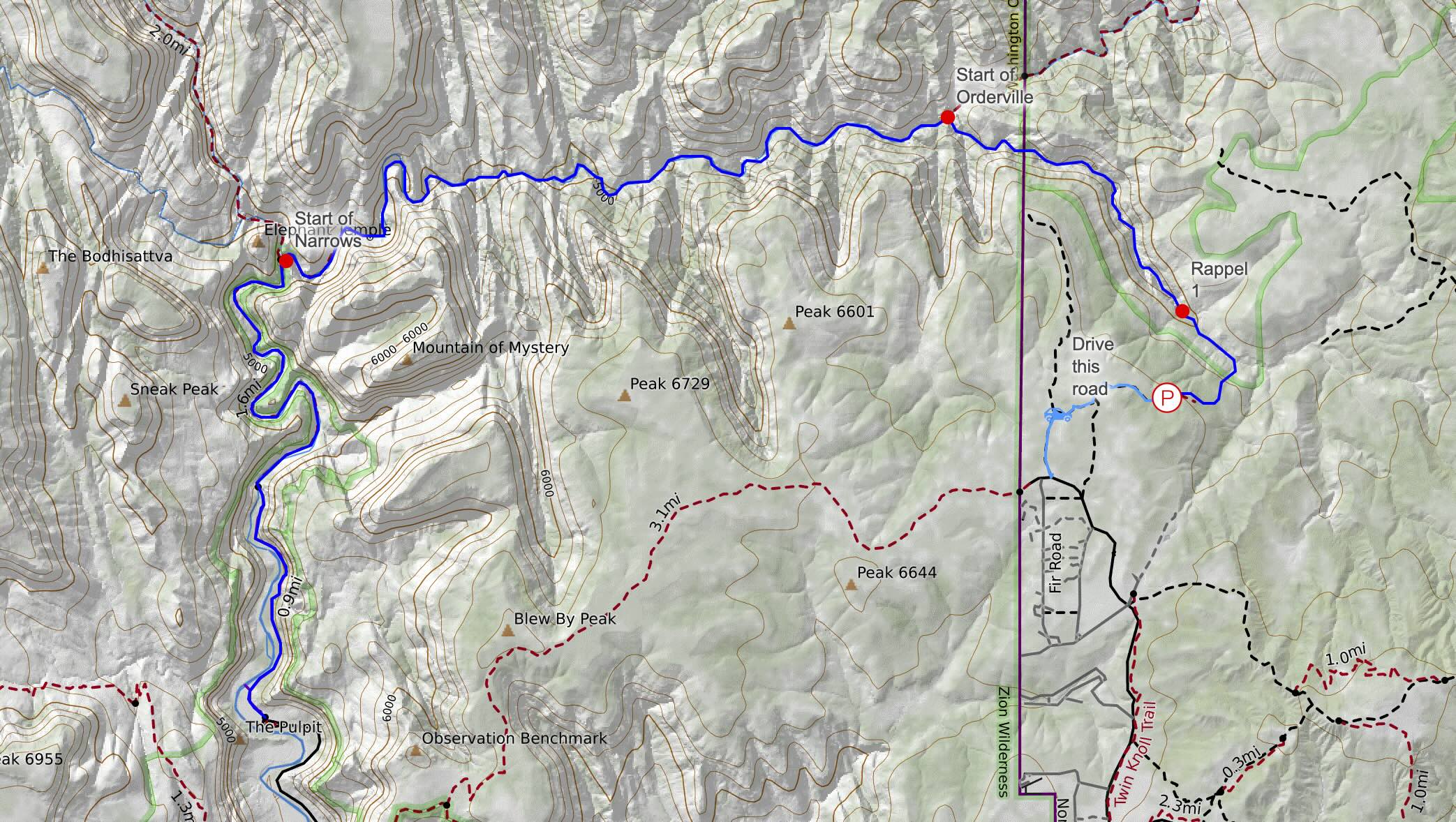
As with all the canyons I completed on this trip, we started on the east side of Zion since our airbnb was here! It was a fairly short drive from our cabin but on quite the bumpy road. I recommend taking the further road of 2 options when turning north/right from Beaver Road. Google maps doesn’t quite work — I recommend looking at your trail map like Gaia/Caltopo instead. You’re in the right spot when you see a little turnaround spot. There is a slight trail on the north (slightly west) side of the turnaround spot. Don’t follow the road to the east. Follow this small trail.
Keep descending and let it take you NW. See my topo map for more details — I’ve redrawn the map since my gps tracks were all over the place! It is relatively an extremely short walk to the start of the first rappel after descending about 400 ft.
Englestead Hollow Canyon Rappels
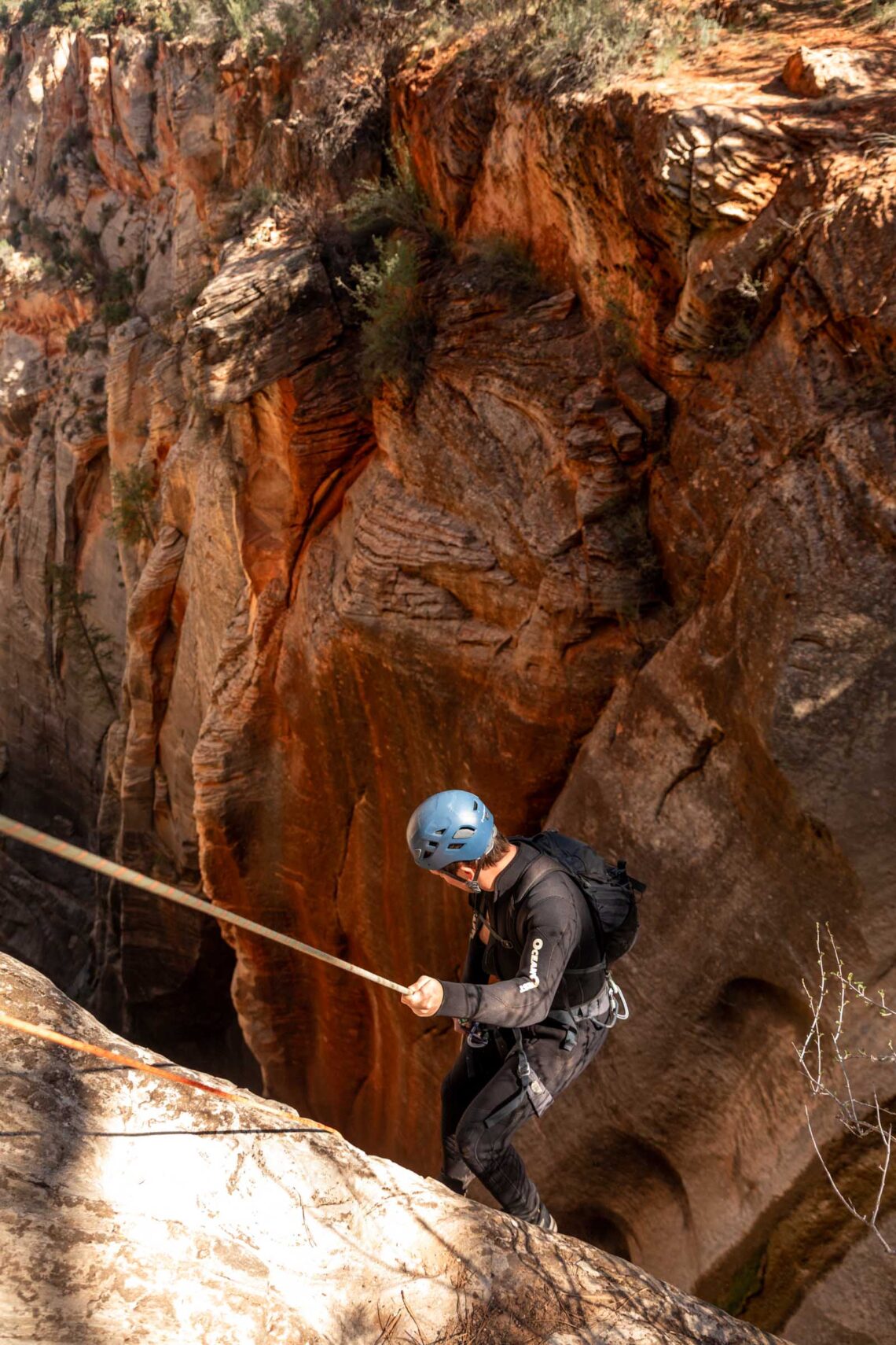
It was Kyle’s first canyon and wow was it a good first rappel! We were likely the first people of the season to descend and we ended up on a small patch of snow. It was wild! The first rappel is also the longest and many other people have stated using 2 ropes and taking advantage of potential stretch if you decide to use a dynamic rope (maybe controversial). I thought canyoneeringusa had a great diagram. You can descend directly down the main part of the canyon or if you walk a bit left, there’s another tree you can use to break up the rappel into 2 stages at a ledge. But this ledge doesn’t exist if there is snow cover. I was honestly surprised our 3-rope method worked. Very thankful for friends who know their rope skills.
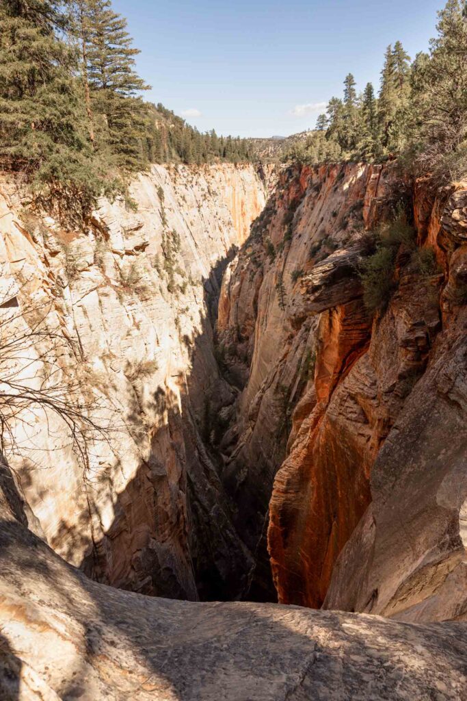
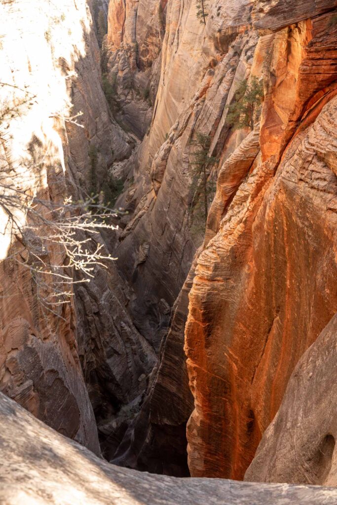
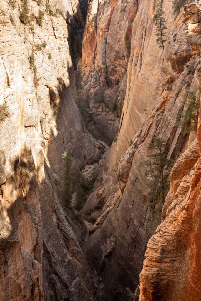
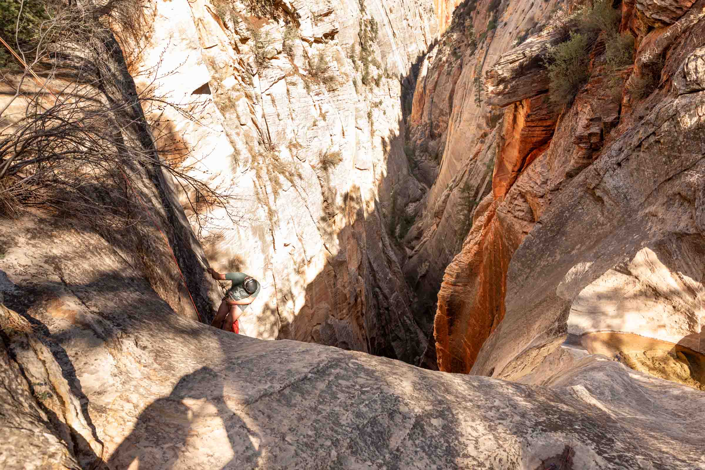
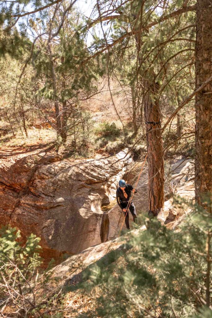
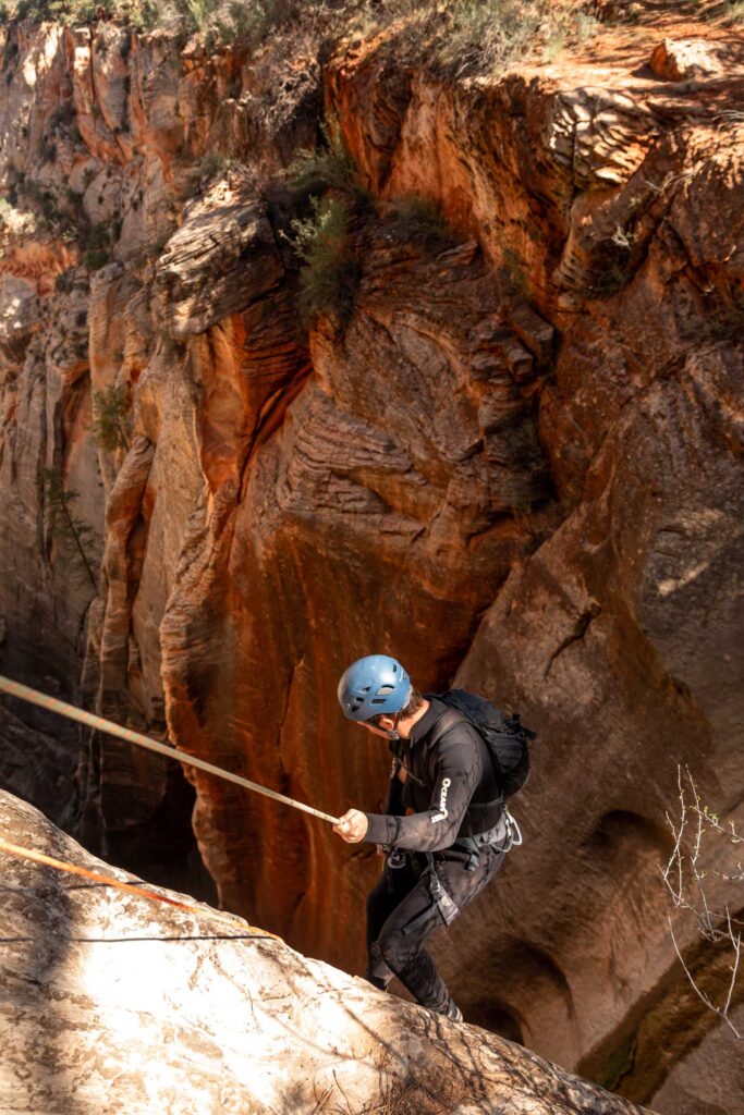
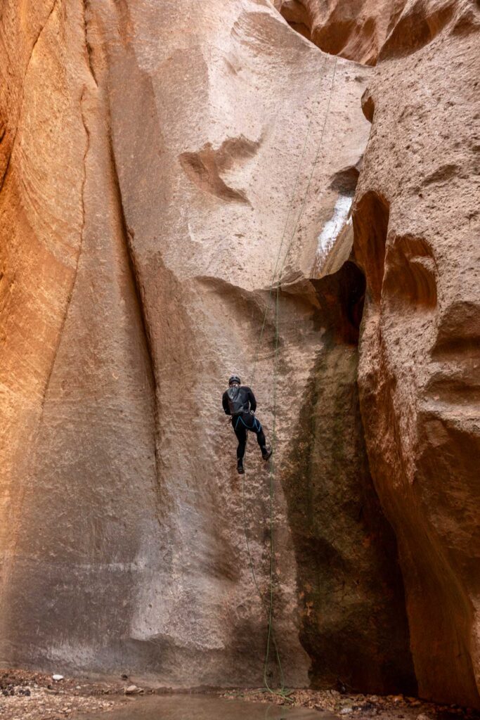
The second rappel comes immediately after the first set of rappels, depending on how you end up doing the first rappel (as one segment or two).
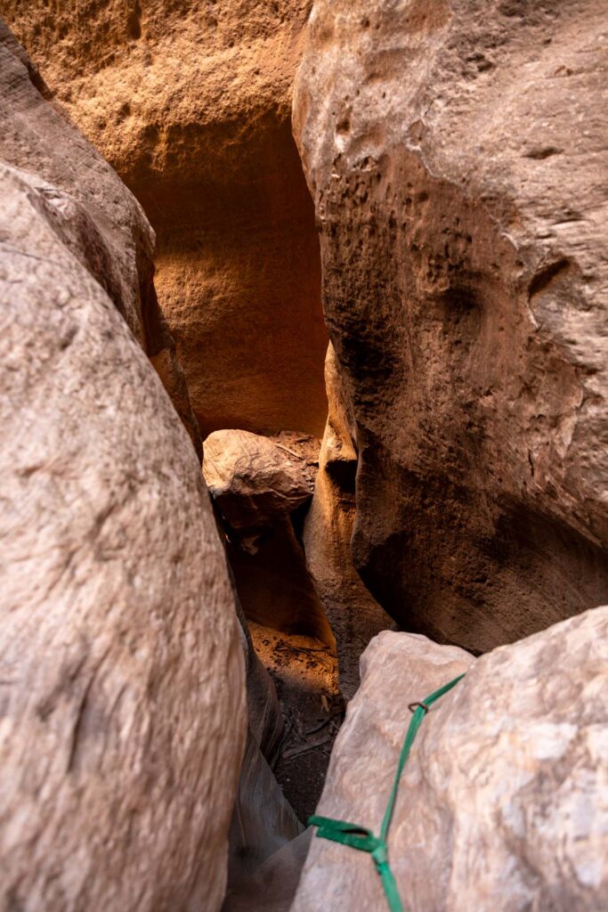
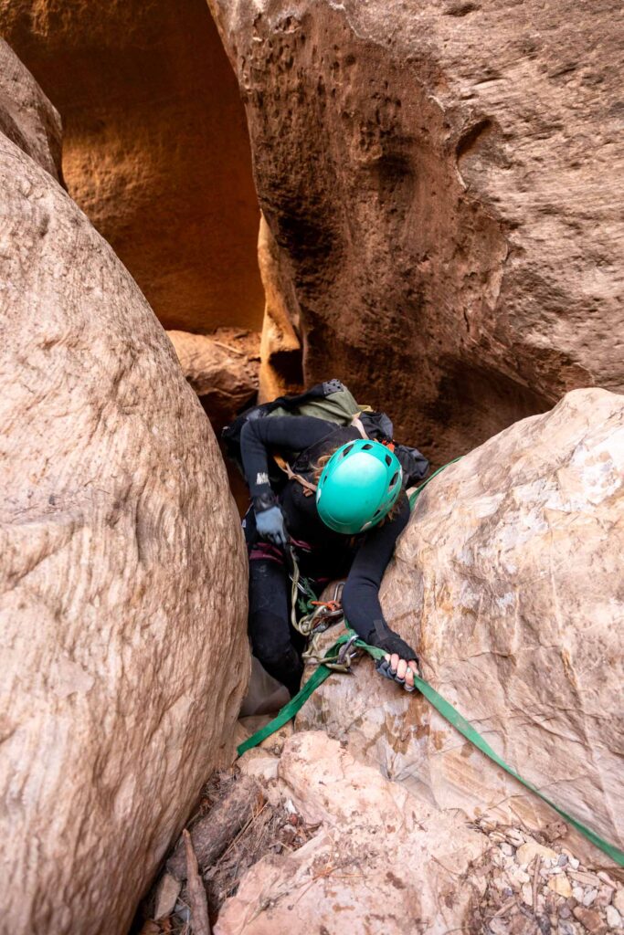
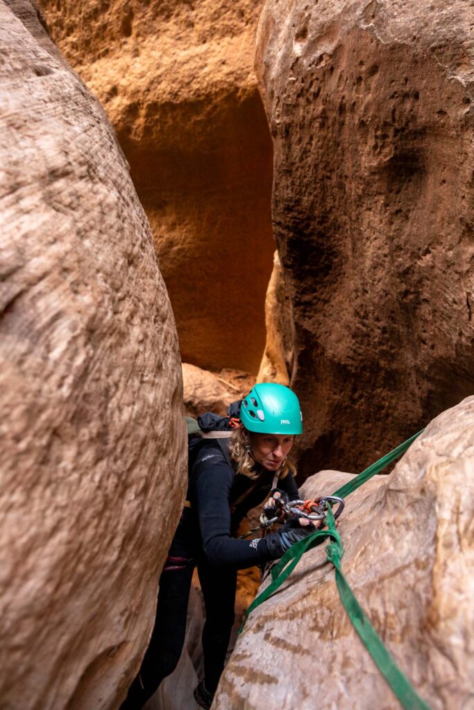
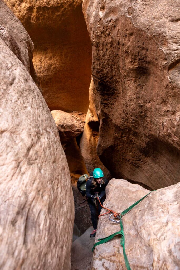
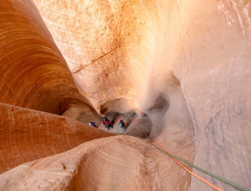
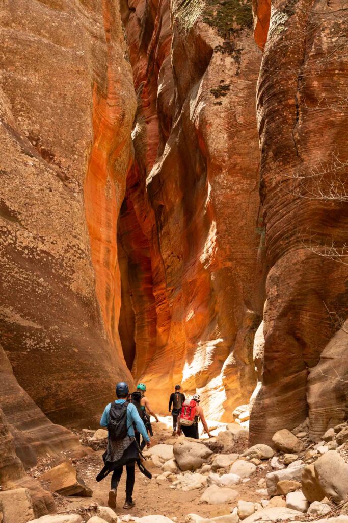
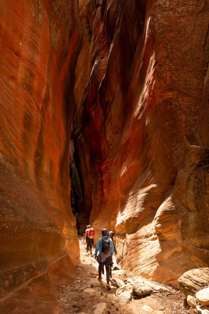
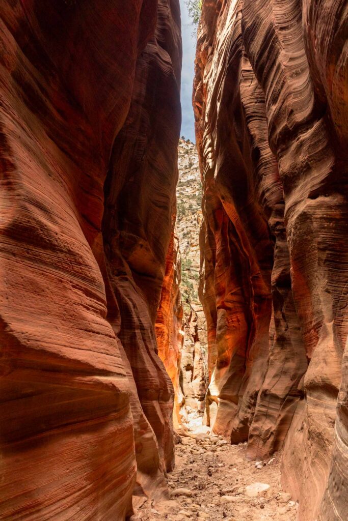
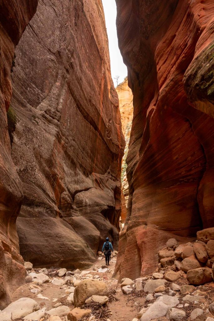
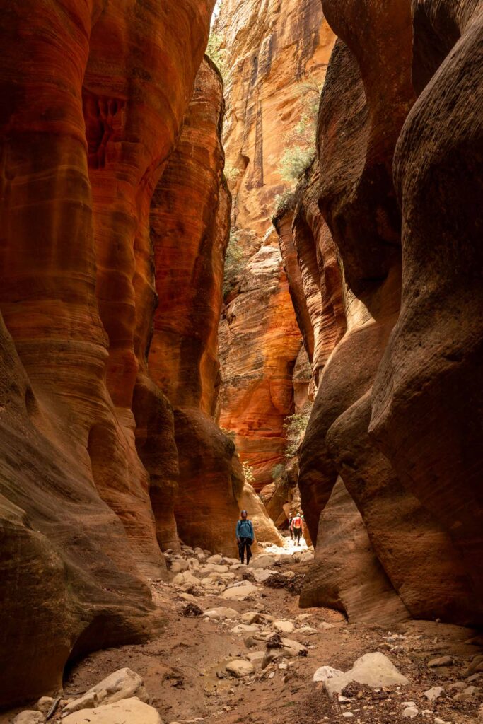
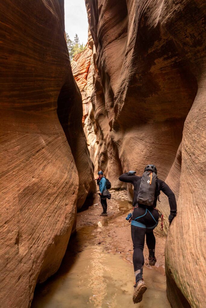
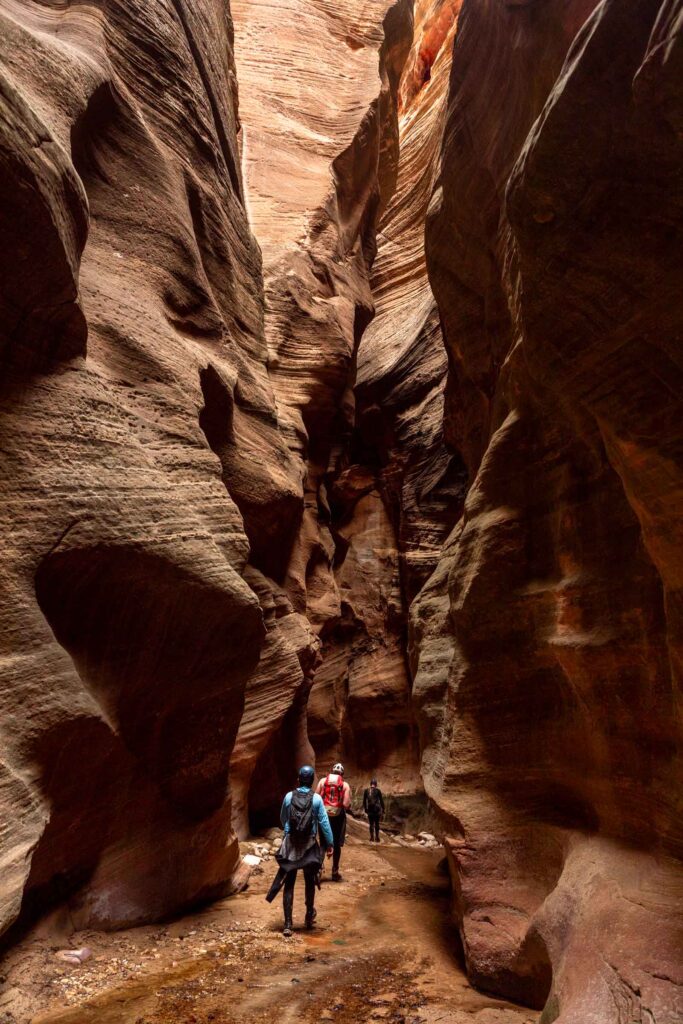
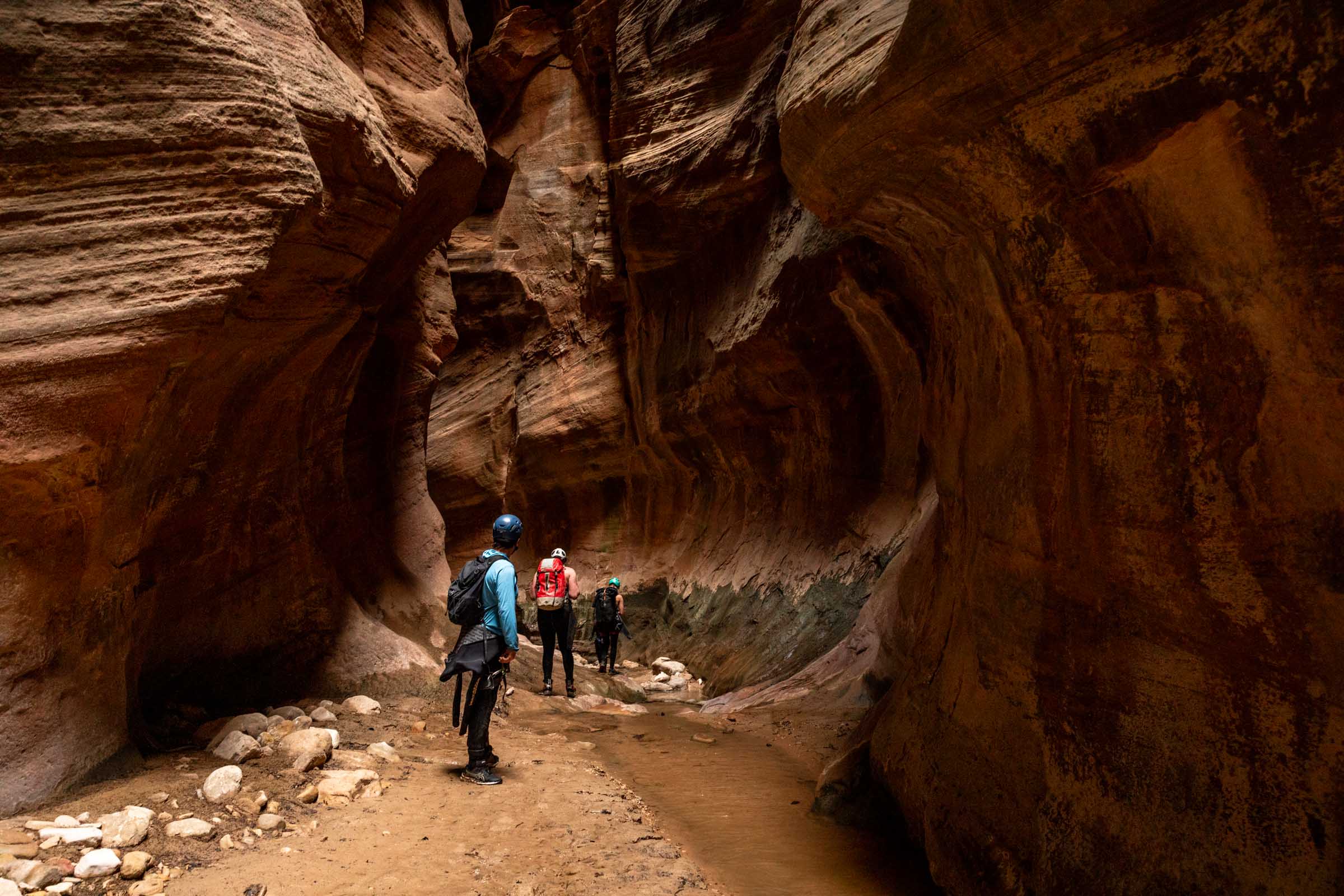
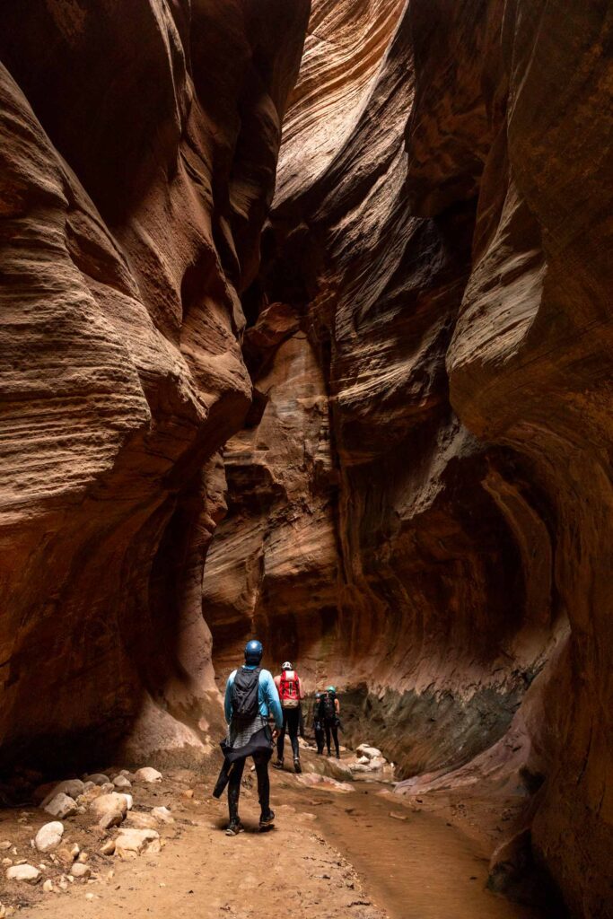
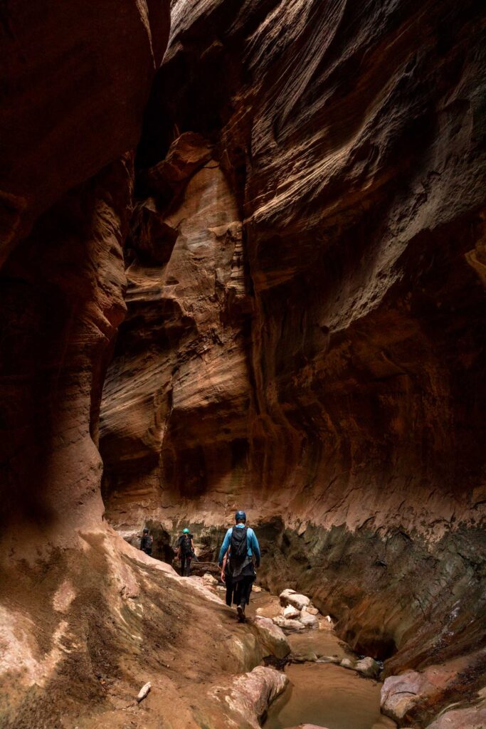
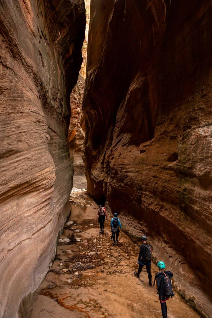
From here there’s a long series of medium-length rappels and slot canyon walking. It was so pretty! There wasn’t too much to note, so enjoy these photos.
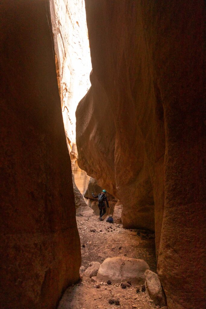
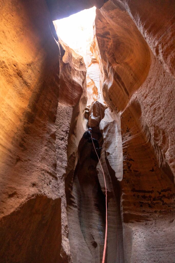
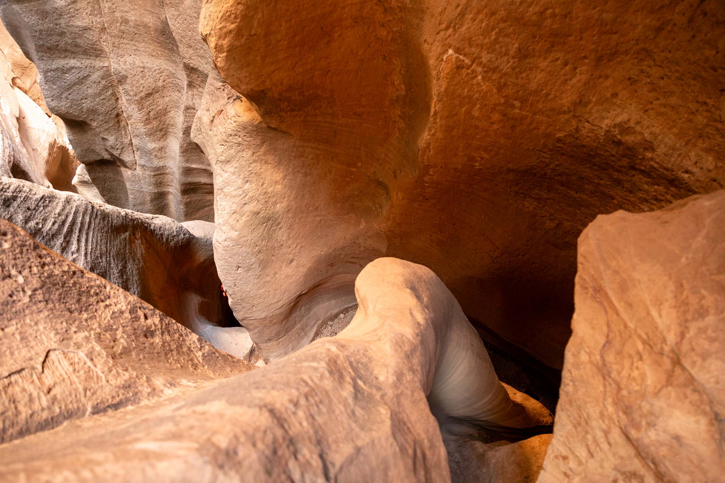
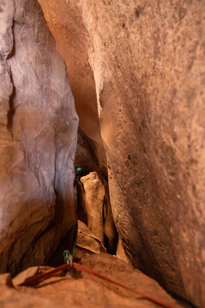
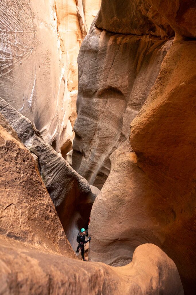
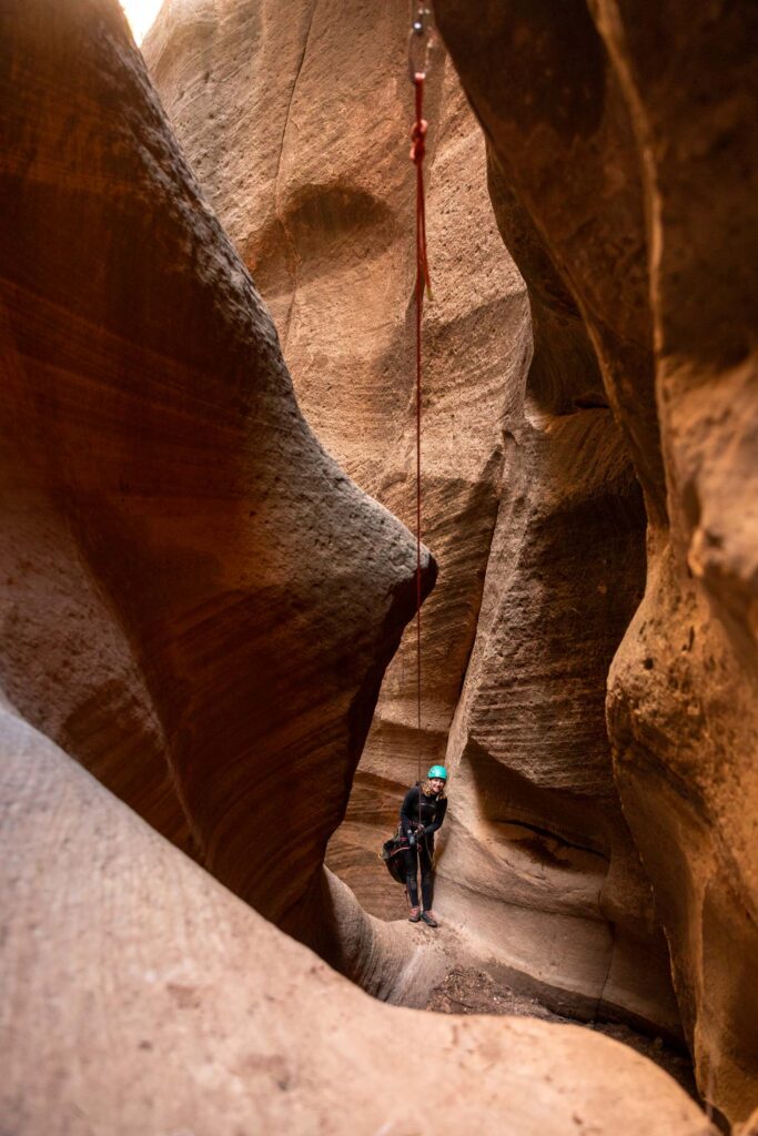
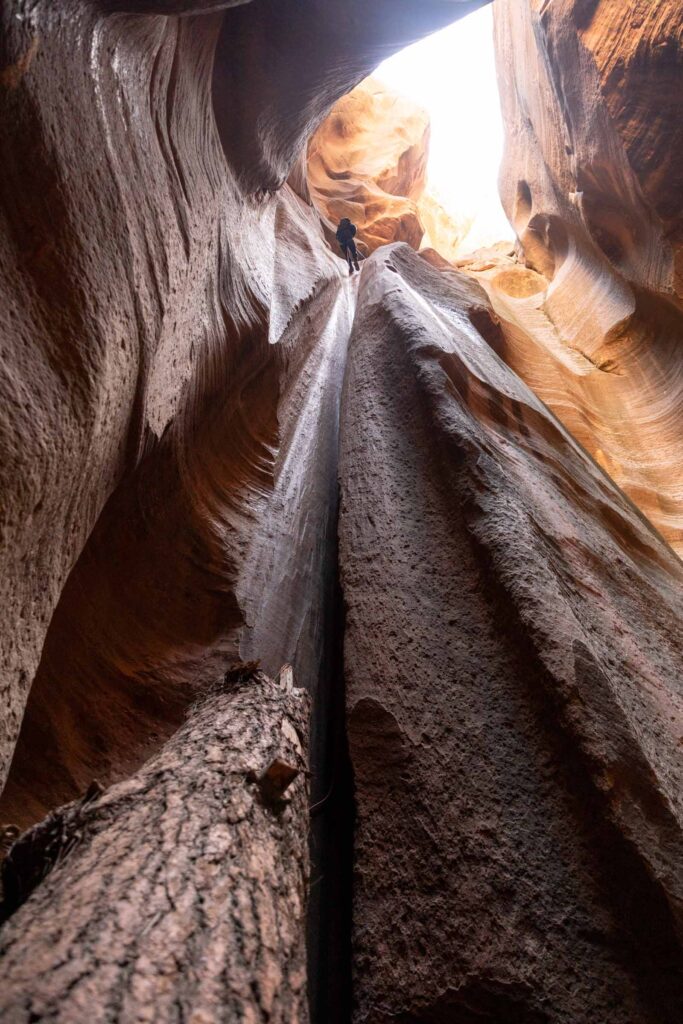
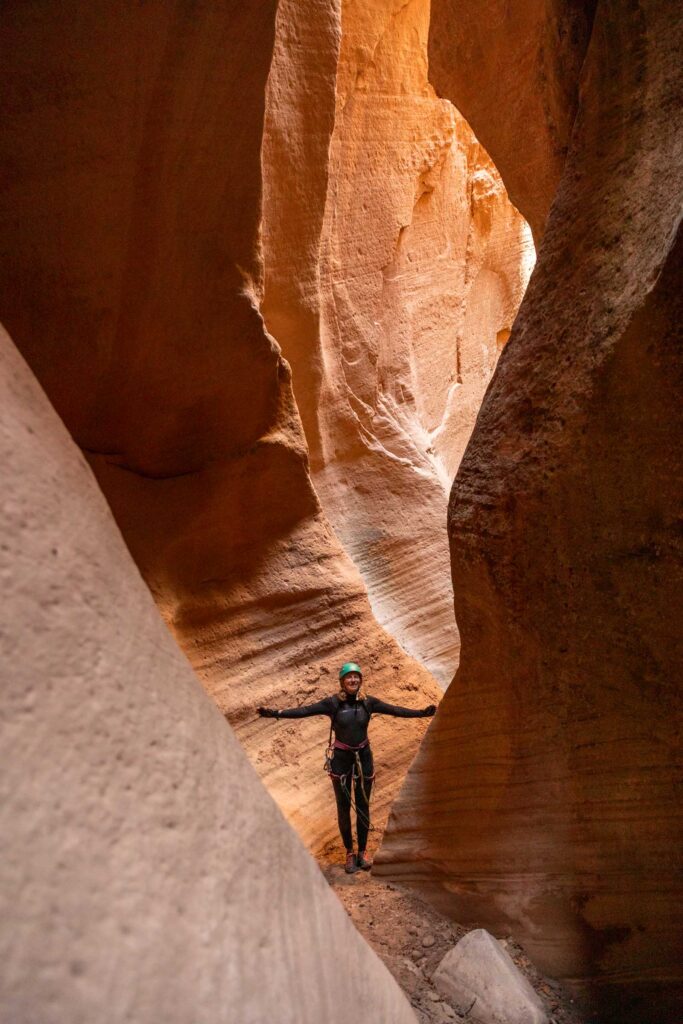
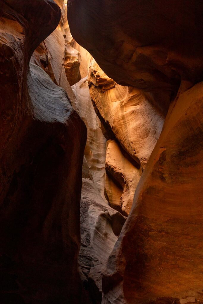
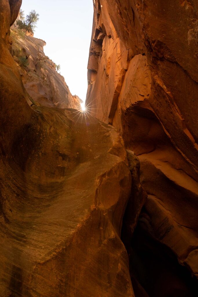
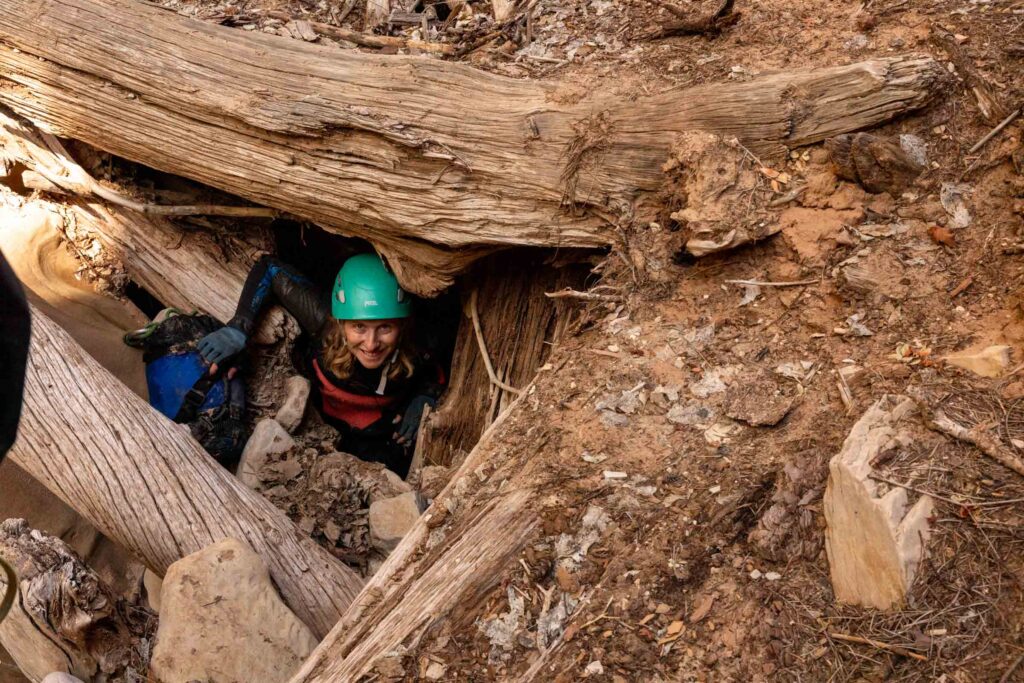
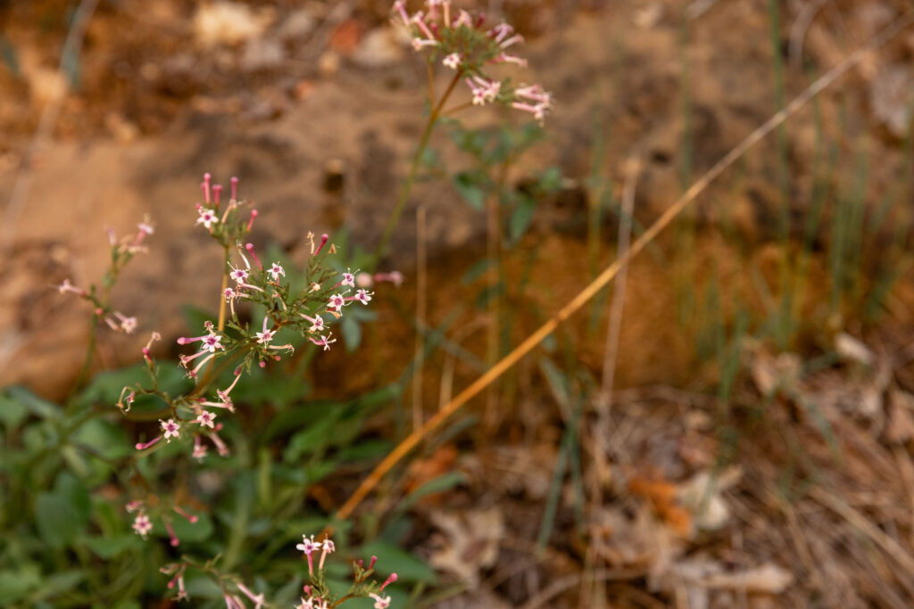
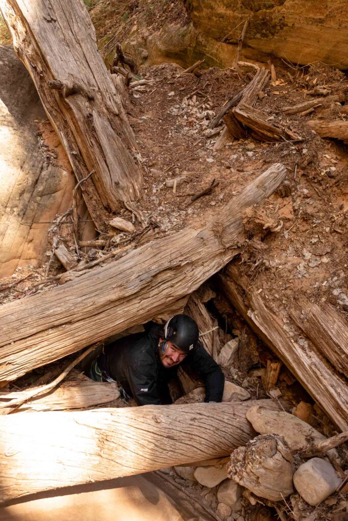
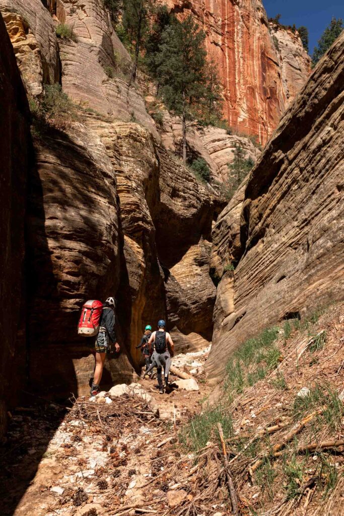
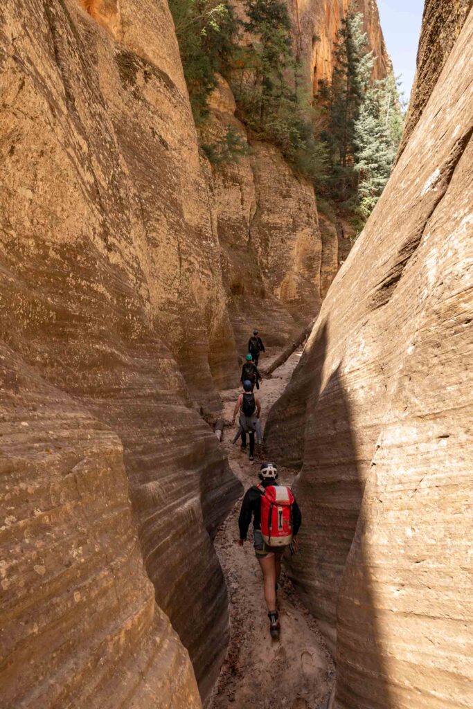
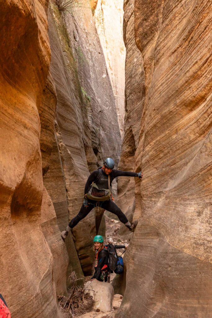
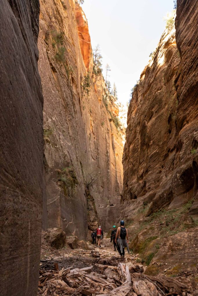
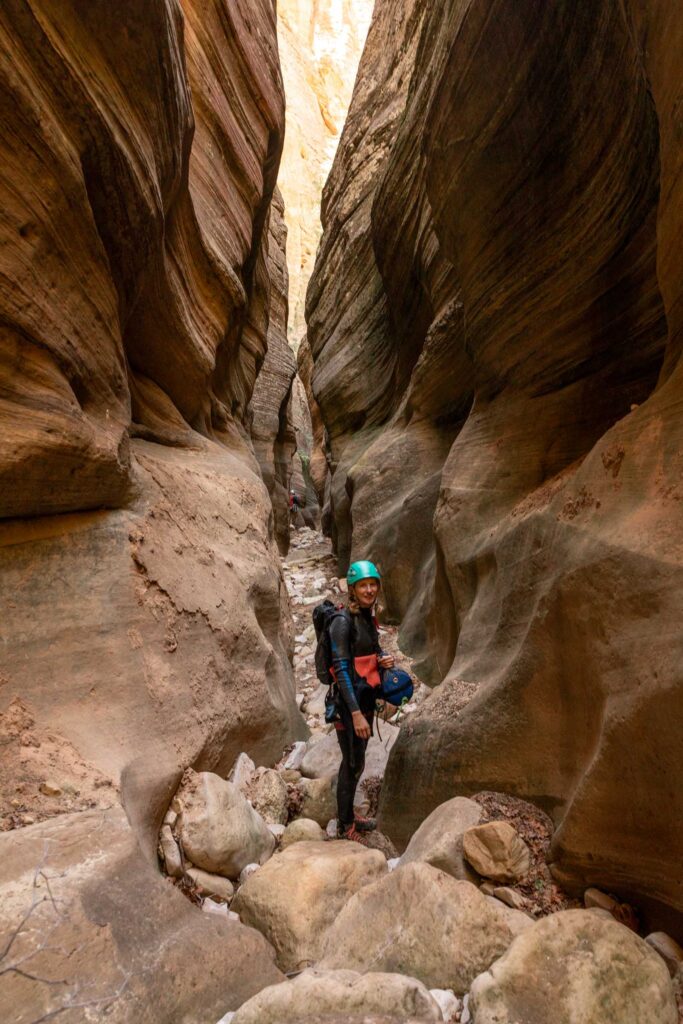
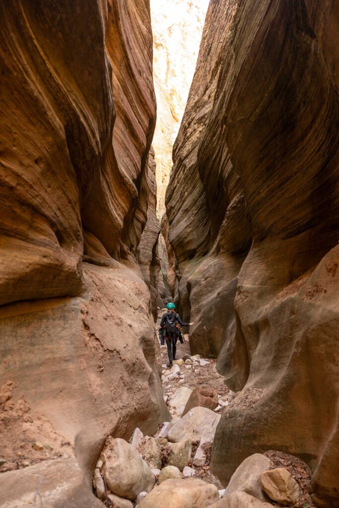
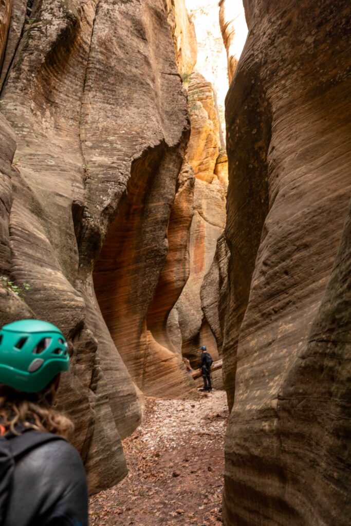
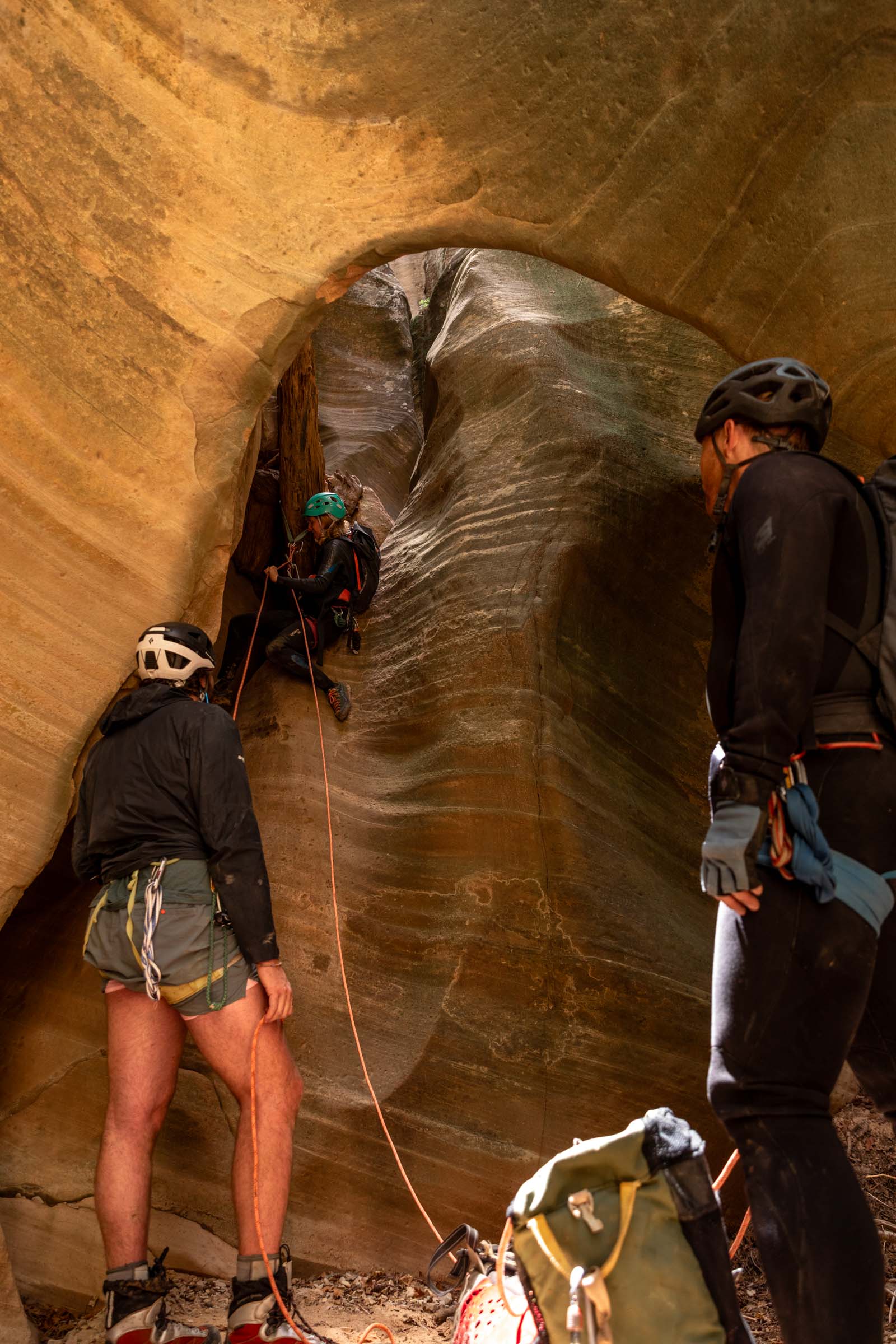
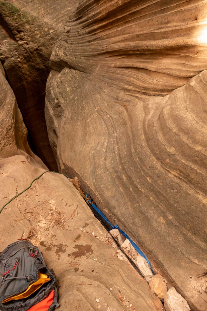
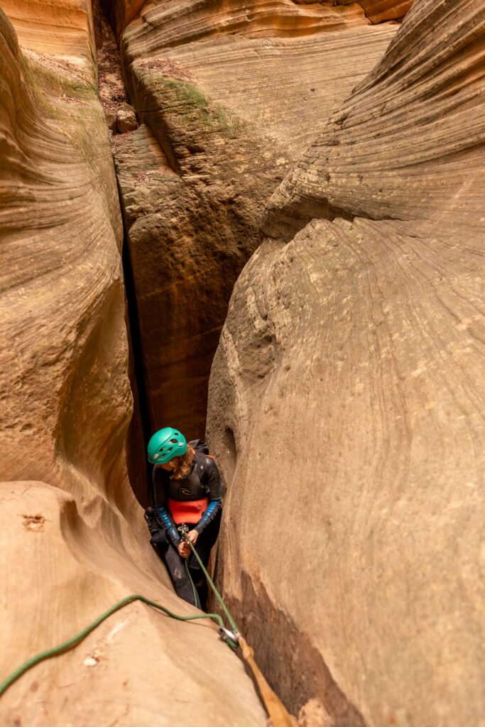
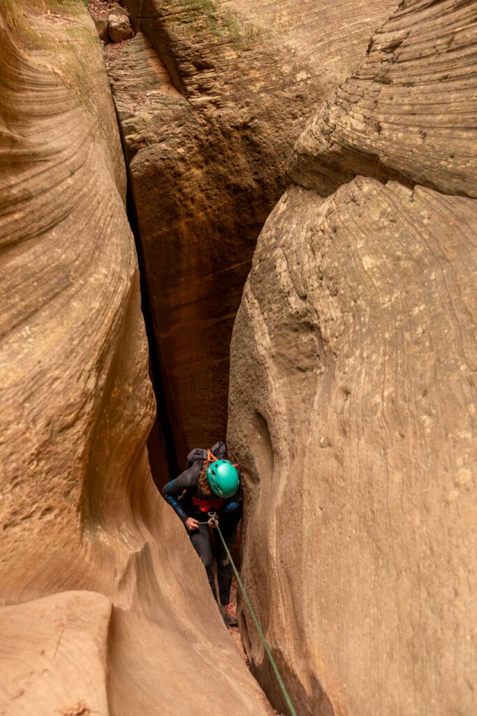
Honestly at this point, I have no idea how many rappels we ended up doing, but they must’ve been short. Other reports say there’s about 10 rappels until the end of Englestead Hollow. Maybe our consensus is the second half of rappels are just not as interesting as the first half before the slot canyon walk! Shortly after the last rappel is the short walk to the main Orderville Canyon.
Lower Orderville Canyon
I didn’t realize how long the Orderville Canyon exit could feel. I should’ve taken off the wetsuit much earlier, but obviously, this is season dependent. There is an option to exit via the upper Orderville Canyon with no technical terrain. It’s probably about the same distance traveled, but with a short car shuttle that stays on the east side of Zion. I believe the hike up and east would take about 3 miles to the Orderville Trailhead.
However, I think it is worthwhile from this point to hike/rappel down the Orderville canyon (exit Englestead Hollow left and west). It’s more tight canyons that start to get higher water flow by the end near the Narrows. Plus, it is generally not as hot since you’re headed more into the canyon instead of out. However, due to time, if you’ve already hiked Orderville, maybe it can seem redundant? Englestead Canyon is one of the furthest east canyons you can technically rappel down and into the Orderville. But the choice is yours.
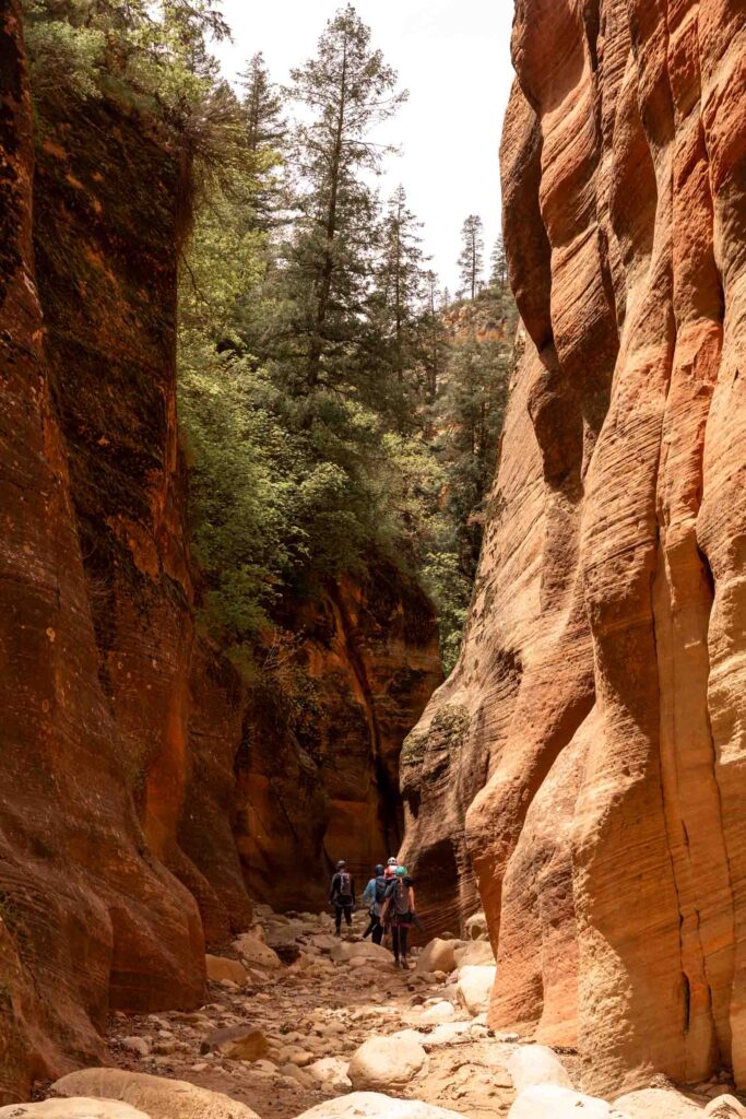
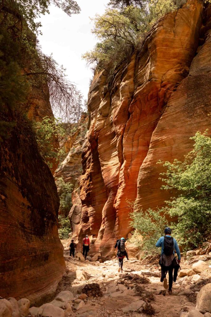
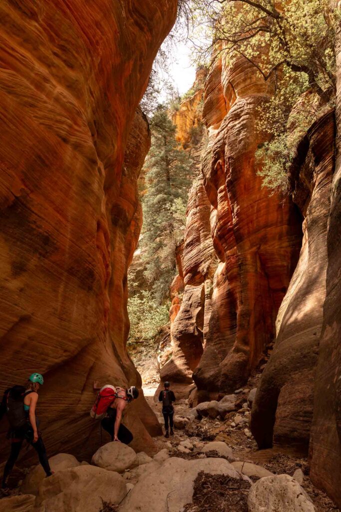

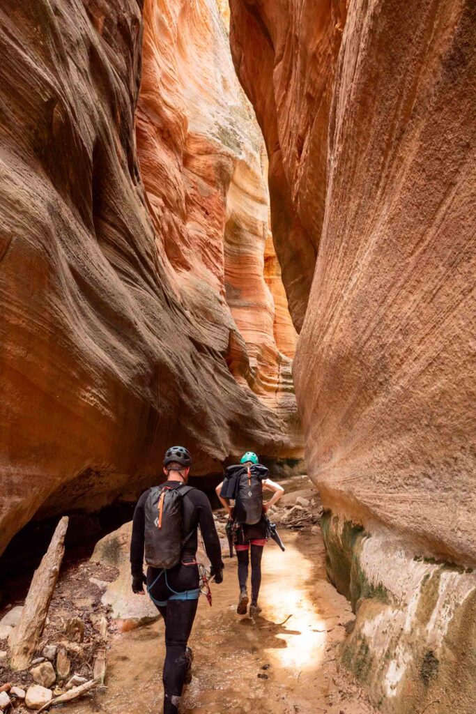
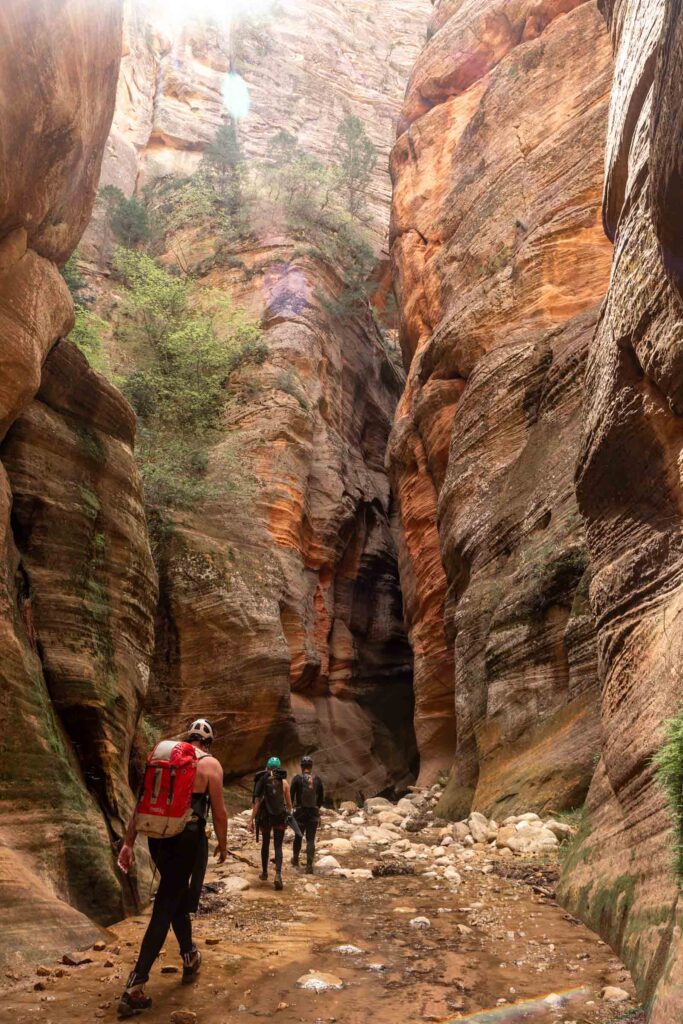
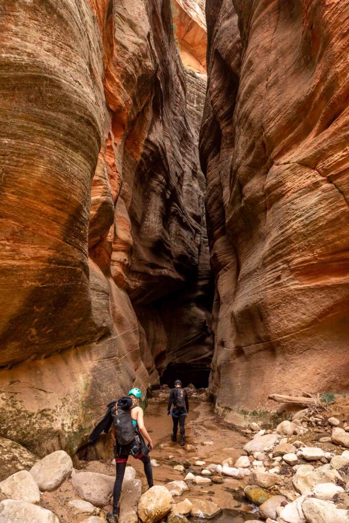
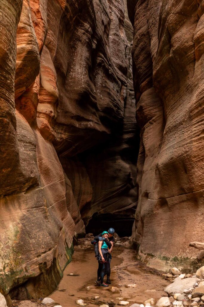
The Narrow Exit
I think I was so done with the hike out that I took zero photos and videos (plus being in water). But there’s a good 2.5 miles of the Narrows before the hiking trail. Walking through water is slow but you can also float down many sections in your wetsuit. I got a bit too cold in late April and had to walk some of it. The parts I did float was really fun otherwise!
After the Narrows, there’s another 1 mile of walking the Temple of Sinawava Riverside Trail. And then the shuttle back to the main parking lots. So it’s definitely a big day! At what felt a speedy pace with 5 efficient people (no running), it took us just under 8 hours including breaks.
Hope this helps your next Zion canyoneering adventure!
Notes
- Start Trailhead: Englestead Trailhead (37.300984358884754, -112.89214838867643)
- End Trailhead:
- Temple of Sinawava (take the shuttle – be mindful of last shuttle)
- Orderville Trailhead (shorter car shuttle)
- It took us under 8 hours to complete as a group of 5 who are efficient with rope and transitions but without racing to the end.
- Permits are required. First set of lottery permits opens 2-3 months ahead of your date. Walk up permits might be available opening 2 days before your date. See recreation.gov
- We completed this canyon in late April/early May and it felt pretty cold in the Narrows if fully submerged even with wetsuits, but primarily didn’t need them for the canyon itself.
Photos taken on Canon 5D Mark IV


You May Also Like
4 days in joshua tree for the lazy climber
where’s the spray in spry? | spry creek canyoneering