sidequesting | marmot pass backpacking loop
26.5 miles . 6280 ft gain . 6310 ft high
Buckhorn Wilderness
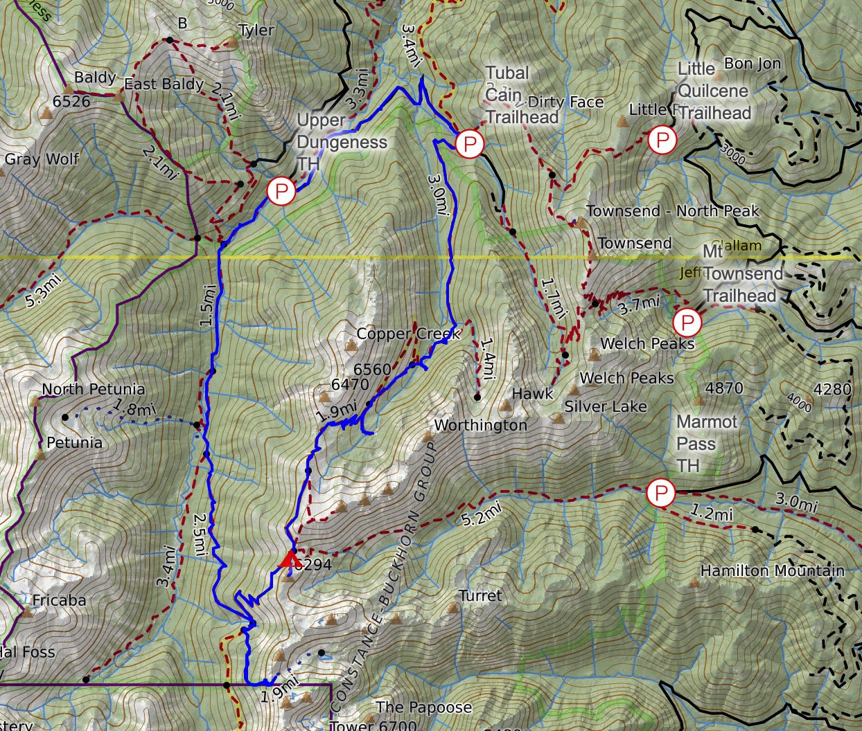
When PNW weather rolls through in the summer, you fall onto your backup’s backup plan. What originally was to be a weekend climbing in the North Cascades quickly shifted to backpacking the Goat Rocks Wilderness due to smoke, which then shifted to the Olympic Peninsula due to thunderstorms. And apparently every other person in the Pacific Northwest decided it was their Plan C as well. Marmot Pass has been on my radar for a while and it is a great option like Mount Townsend for a non-permit friendly overnight backpacking trip. There’s very few alpine hiking destinations that are part of the Olympic National Forest vs the Olympic National Park where permits are always necessary. So off to the peninsula!
Upper Dungeness Trail
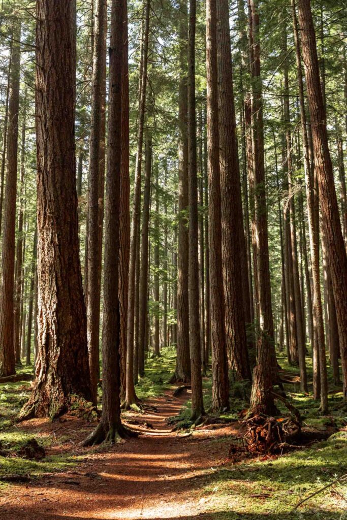
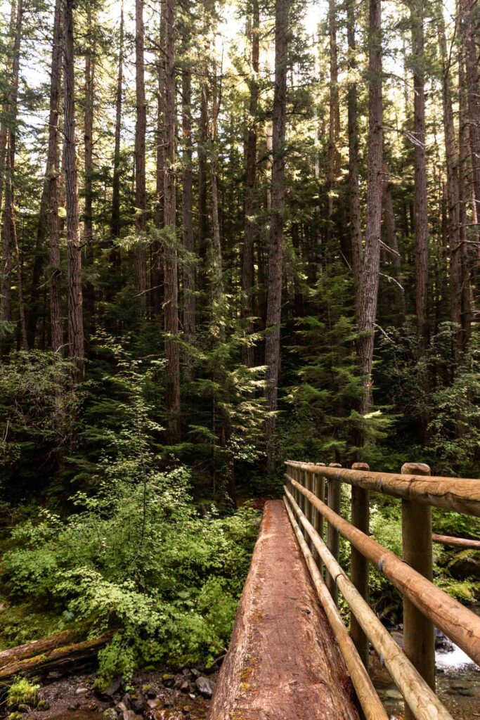
We first started at the Upper Dungeness Trailhead, or rather, a shoulder parking spot near the trailhead since it was packed. There was a 100k race happening the same day! The first 4 miles were incredibly mellow and lovely. Walking along the river and enjoying the lushness of the forest, it felt like such a breeze to get the first third of the day over with. The next 3 miles toward Home Lake is still relatively mellow but does gain a bit more uphill. This is the lovely thing about valley trails!
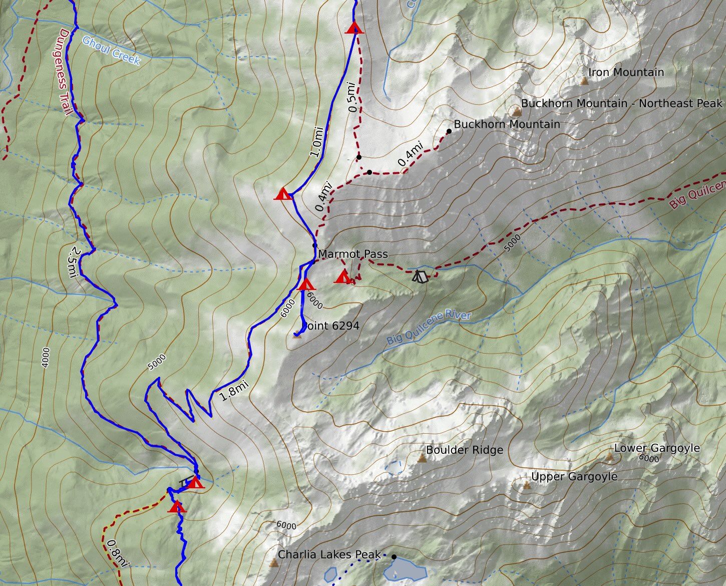
At Boulder Shelter, we took a lunch break and found many tents set up already. That didn’t bode well for how busy Marmot Pass was going to be. Nevertheless, we still took a side quest to Charlia Lakes. We had daylight after all.
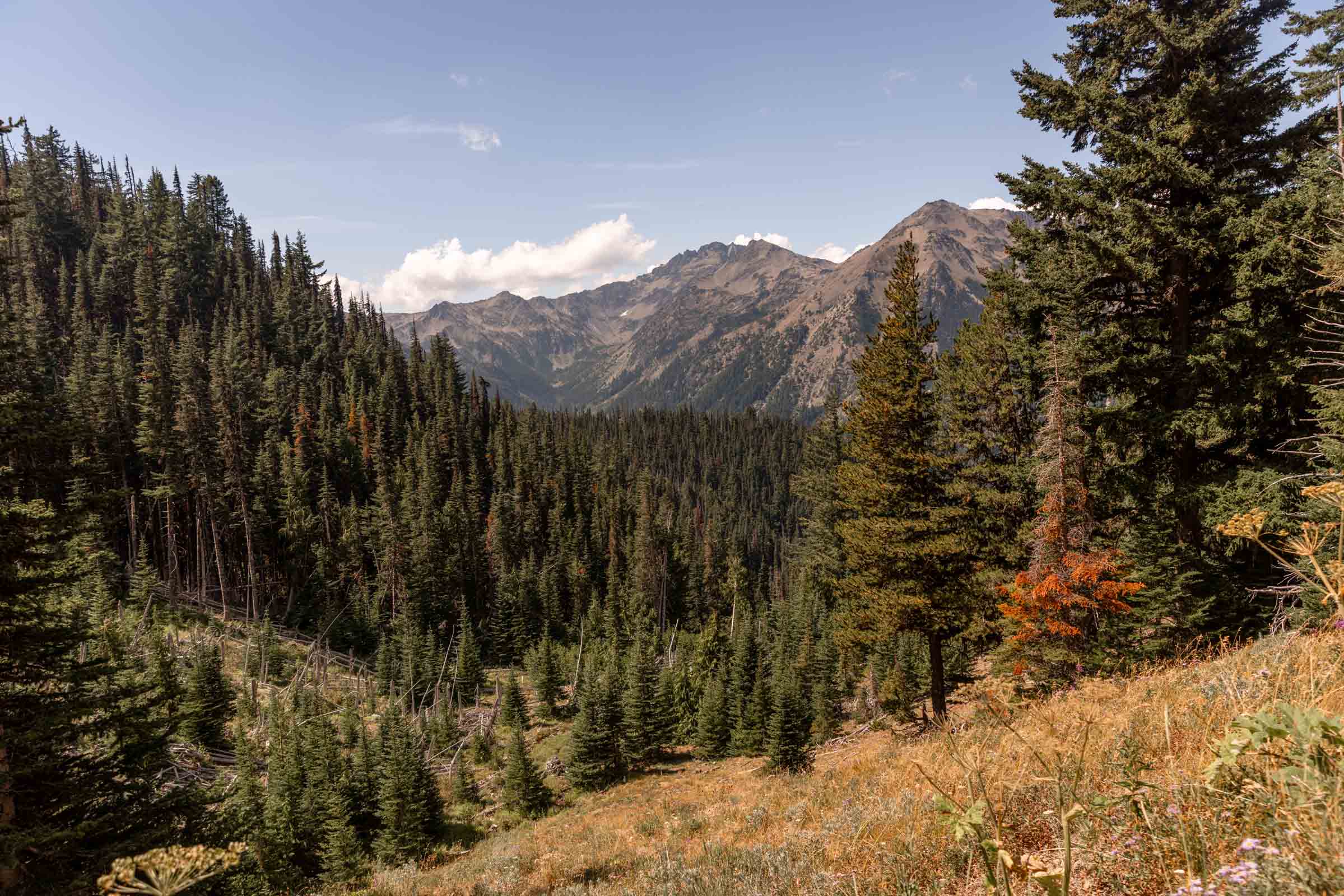
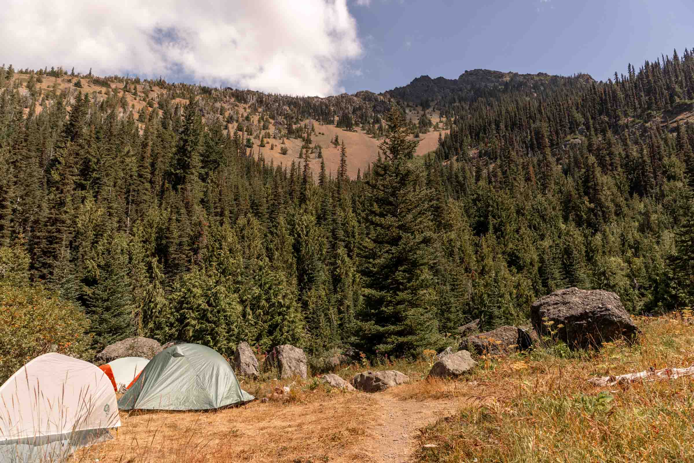
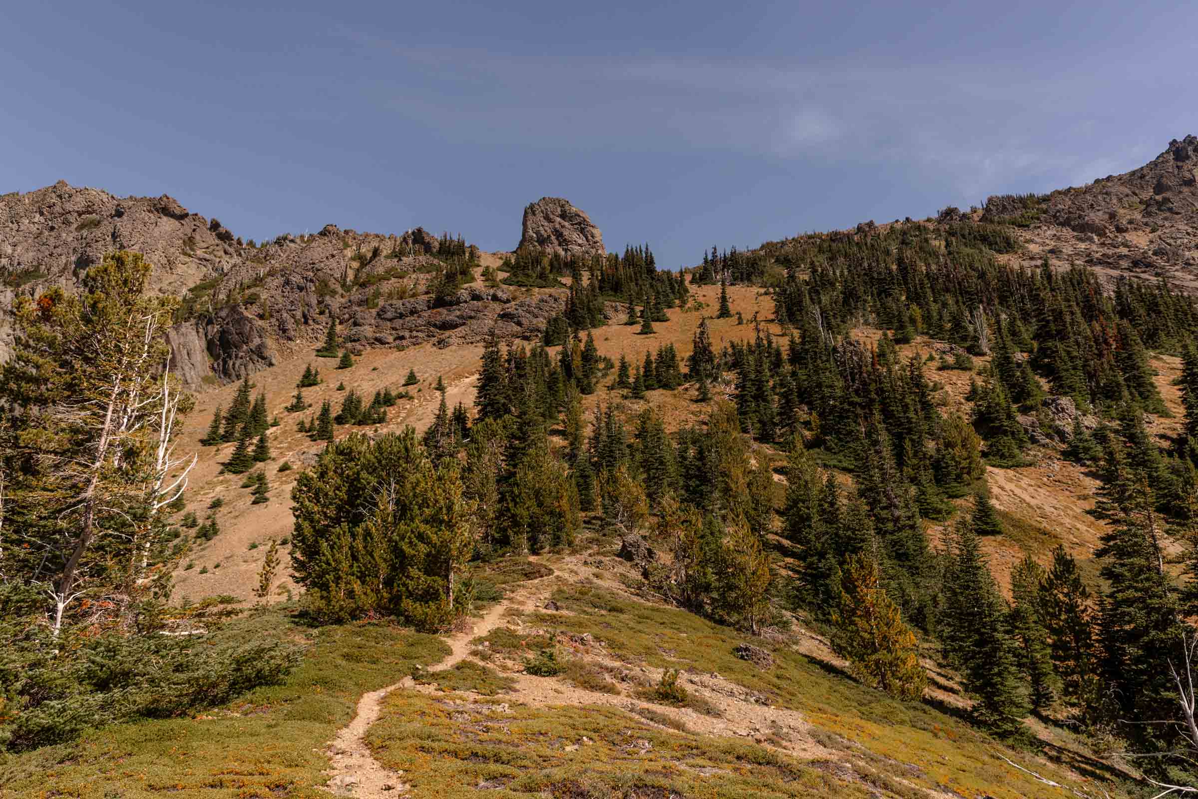
Charlia Lakes
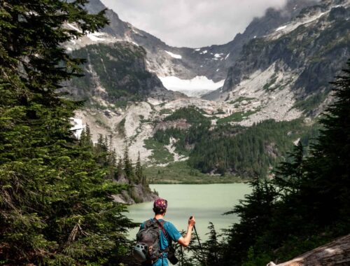
The trail to Charlia Lakes is more of an unmaintained trail that is steep in parts. So I expected that we wouldn’t see too many people, but surprisingly, it was rather crowded. We were getting news from other hikers that spots were sparse at Marmot Pass, so we decided not to go all the way down to Charlia Lakes. We settled with just the view point from the saddle for a nice snack break. The sneaky nearly 3800 ft with heavy-ish packs definitely started to take a toll on our bodies. I didn’t feel like adding another 800+ ft to my day when we still had another uphill left before camp.
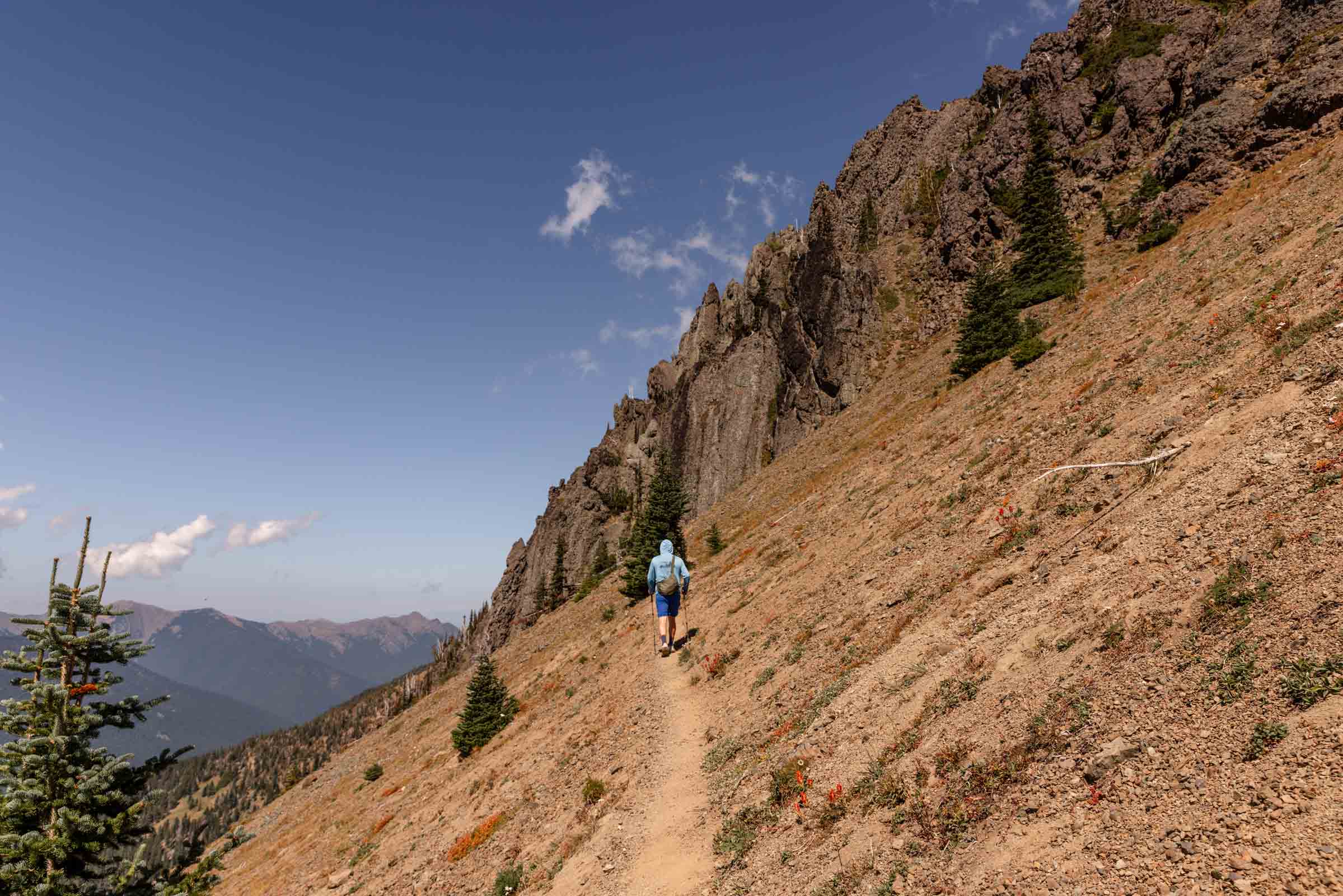
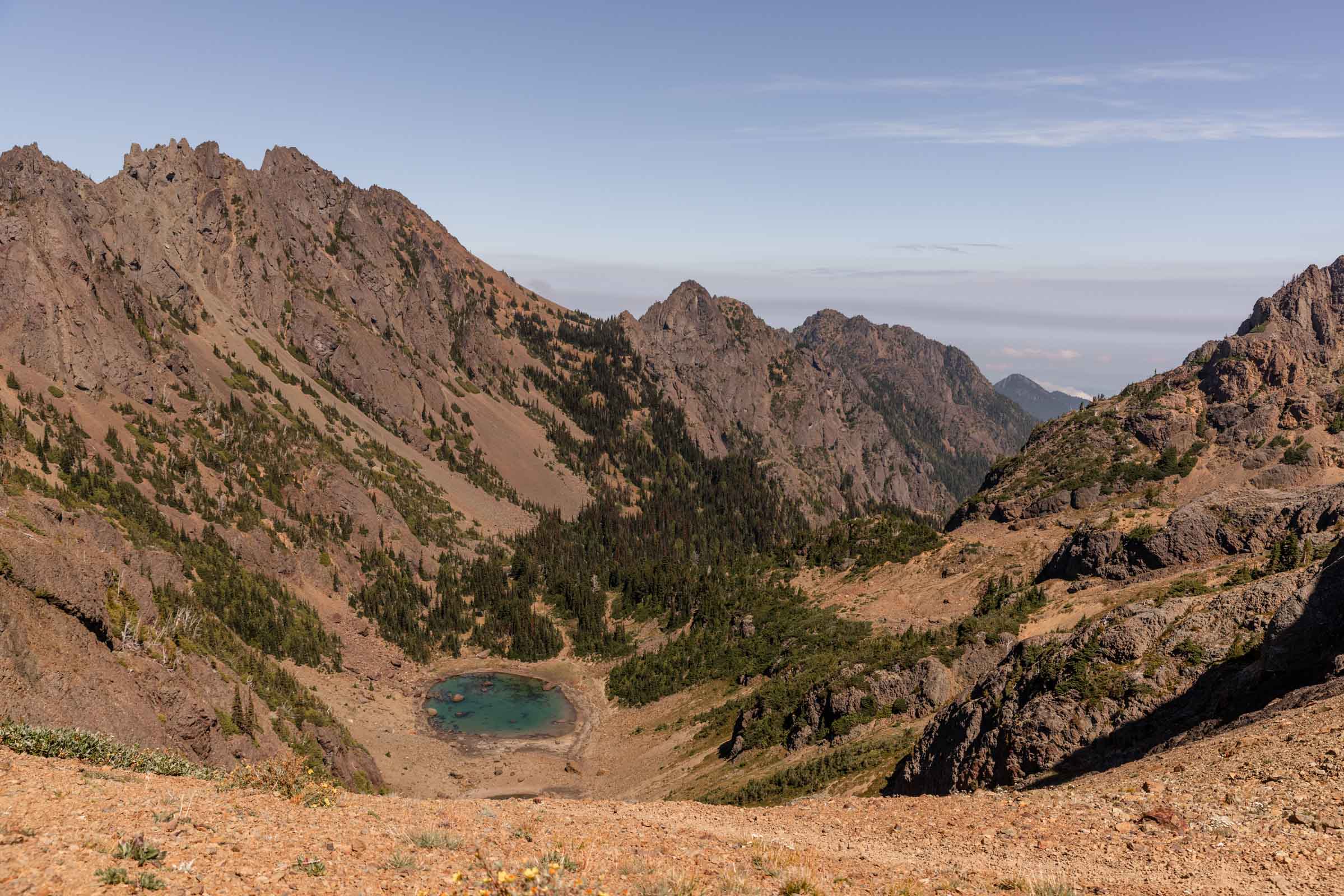
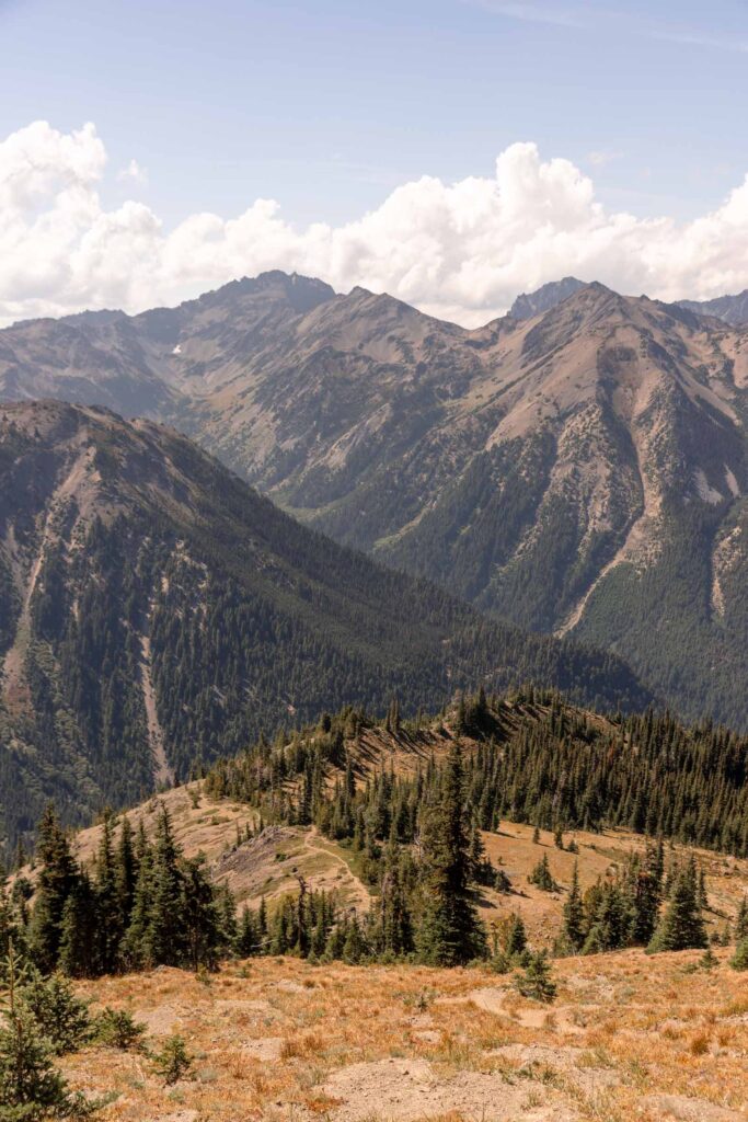
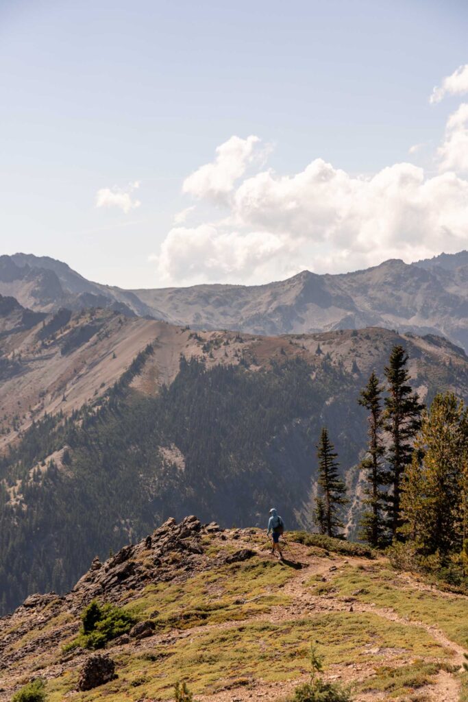
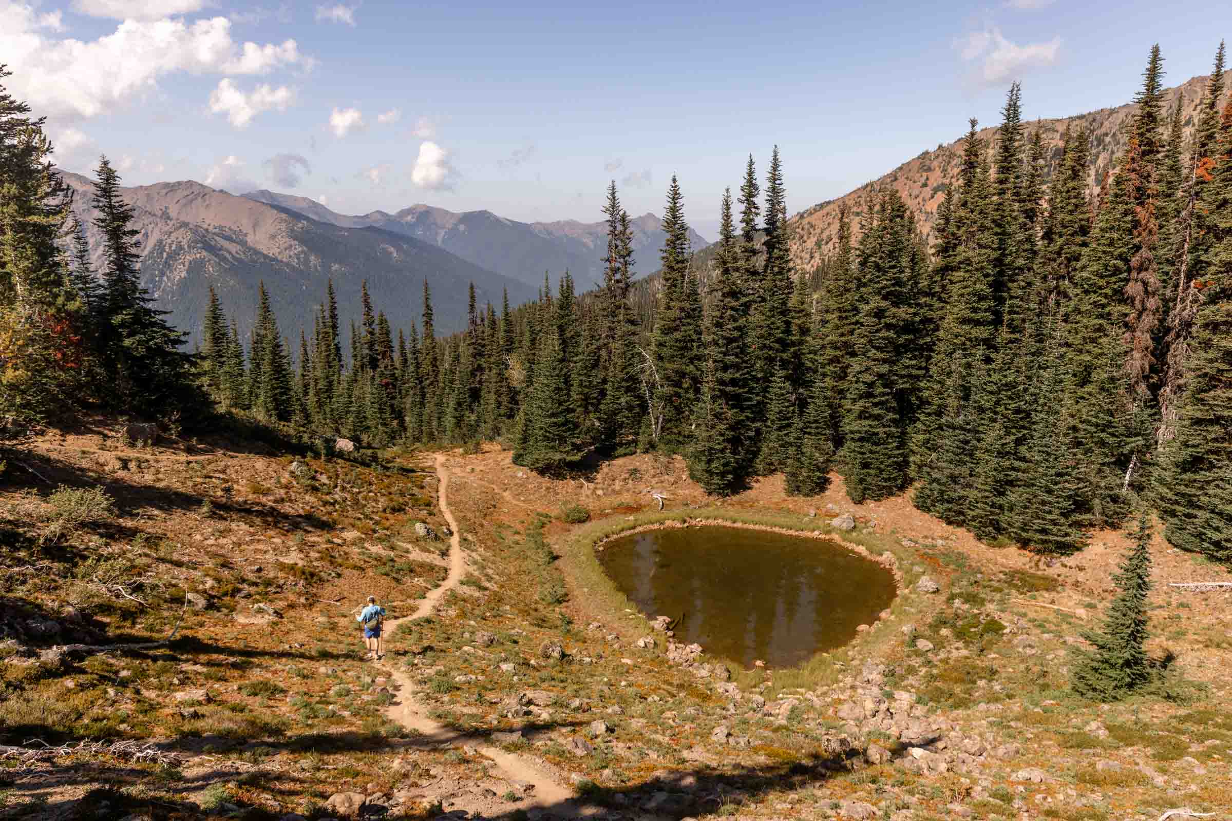
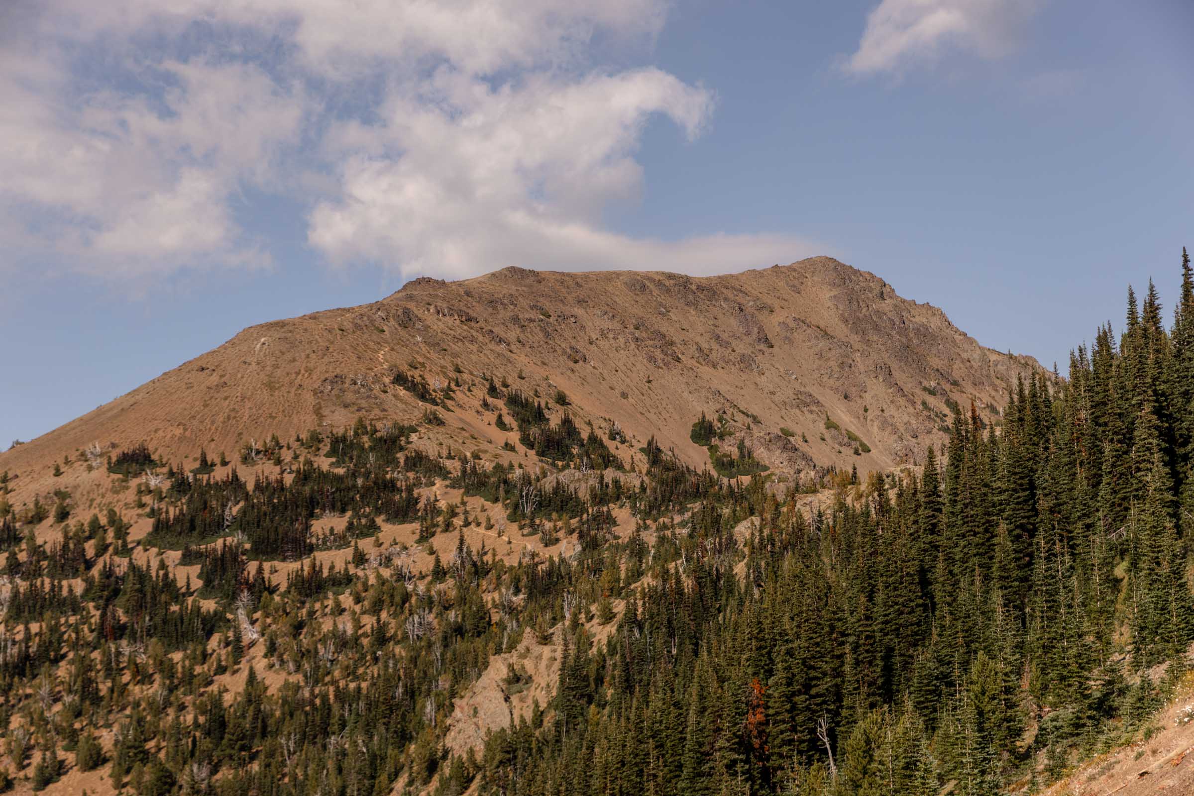
Marmot Pass
We had stashed our camping gear at the start of the Charlia Lakes trail, where there’s 2 sites for 2 tents. We repacked our bags and headed back to Boulder Shelter area to filter water since there would be none left higher at Marmot Pass. Here, we met several more people who had the same idea, including another group who re-iterated how packed the Marmot Pass camping was again. We filtered quickly walked as speedily as my legs could allow. The grade was still gentle, but it was still 1000 ft of gain.
At Marmot Pass, I started to get stressed. We immediately ran into 2 groups with overnight packs and I could see several more people along the trail below who were coming up to camp. It’s go-go-go mode! I did my best asking around for the best scouting advice and people kept mentioning the meadows where you could find a spot. I wasn’t a fan of this idea, considering how vegetated the meadows were. According to Leave No Trace best practices, you shouldn’t camp on vegetation unless it is last resort.
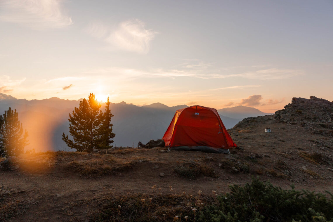
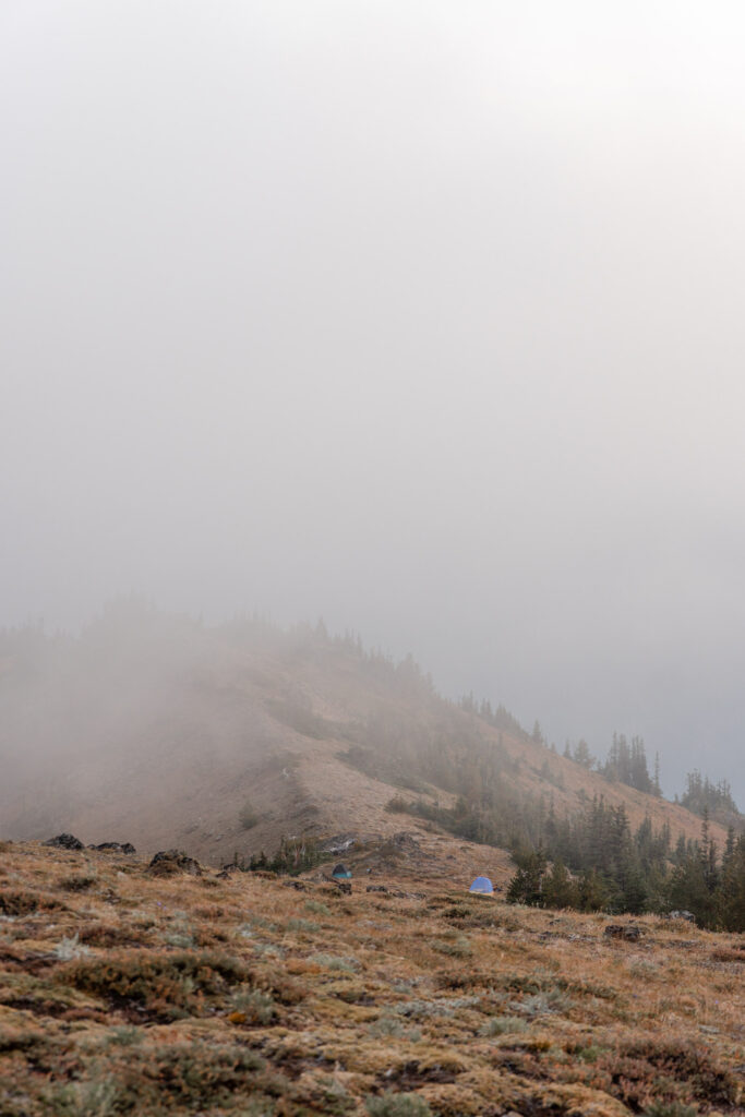
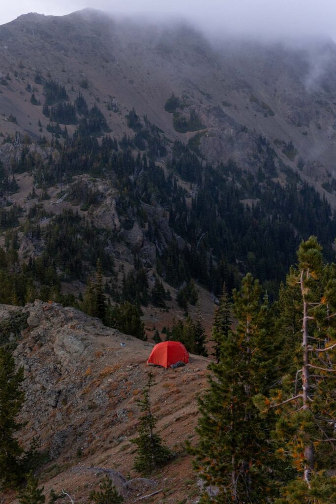
Thankfully, we quickly found a spot along the ridge where it was soil and rocky but flat enough for a tent spot. We immediately stopped even though I really wanted to explore Point 6294. But it was fortunately I didn’t go there because we could save our spot. This ended up being a pretty quiet spot, away from other campers. It was as much solitude as you could get on a busy day like today.
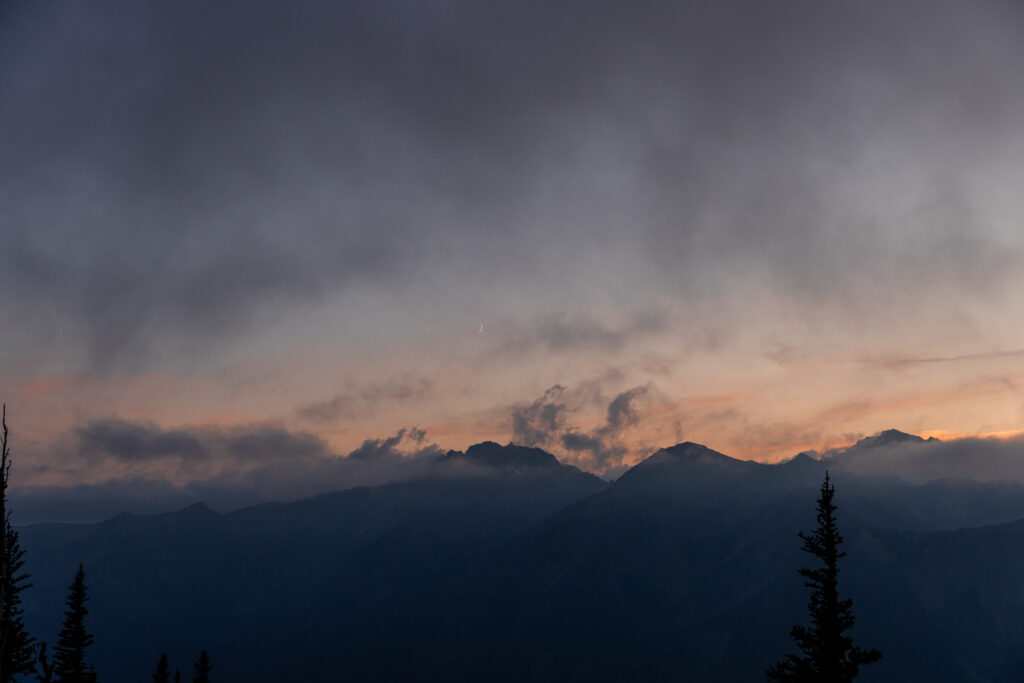
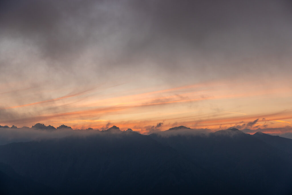
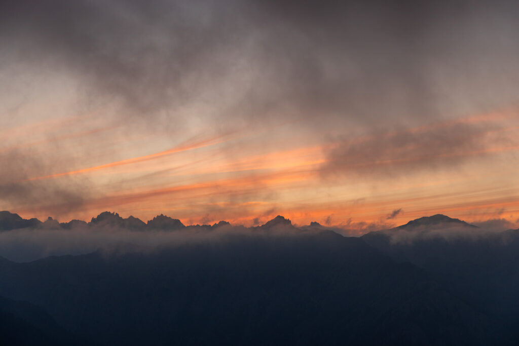
After dinner, we checked out Point 6294 for sunset. The clouds were rolling in and out so it was barely a sunset. Before we fell asleep, we snuck a look out the tent door and watched the stars for a good 30 minutes to find the shooting stars. Astrophotography is not my forte, so I did not even attempt to capture anything. I saw long and strong meteor, short ones, thin-long ones. It was fantastic!
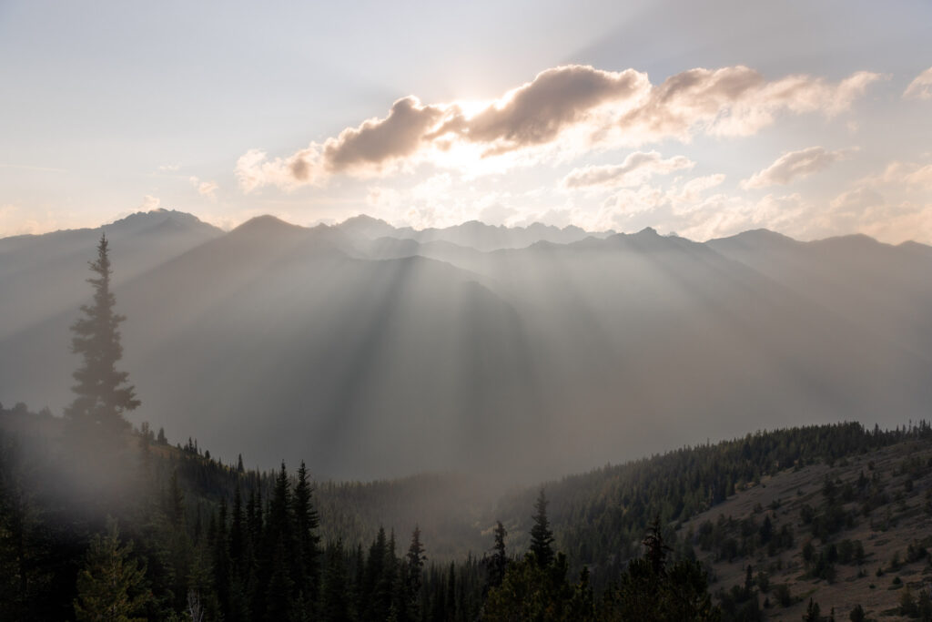
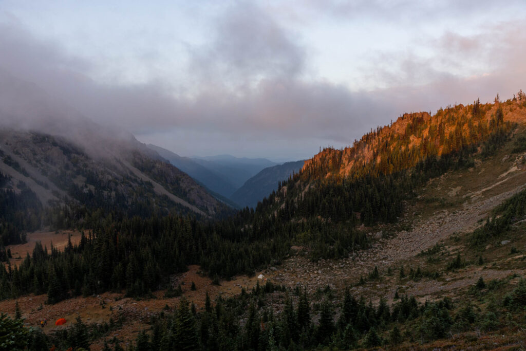
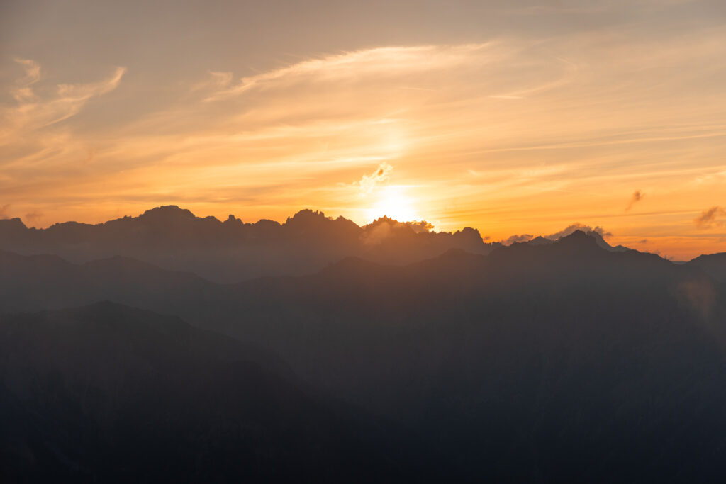
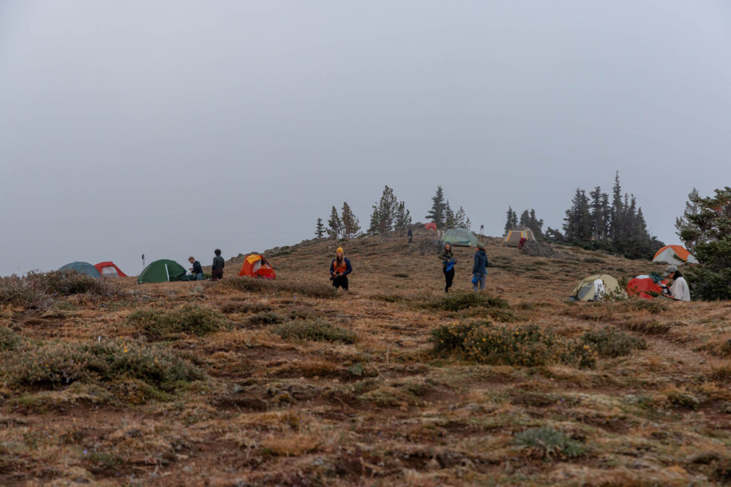
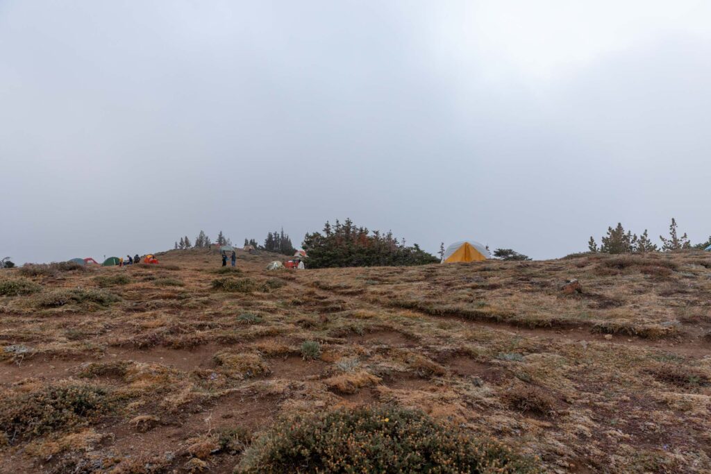
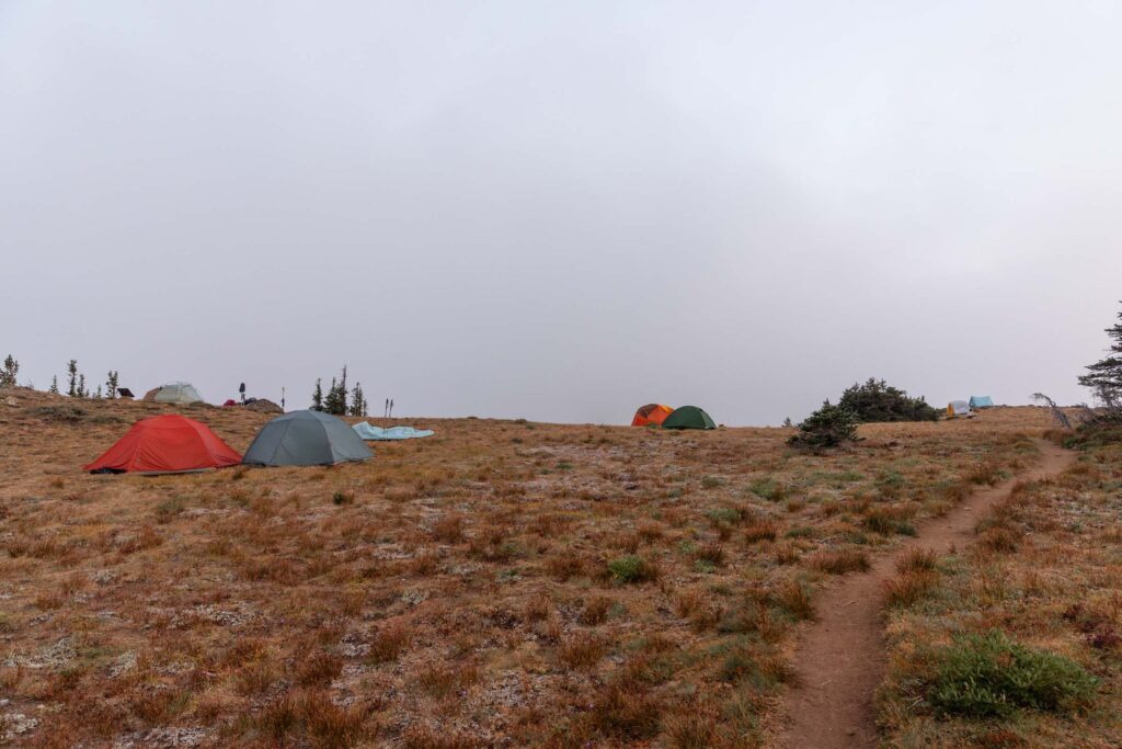
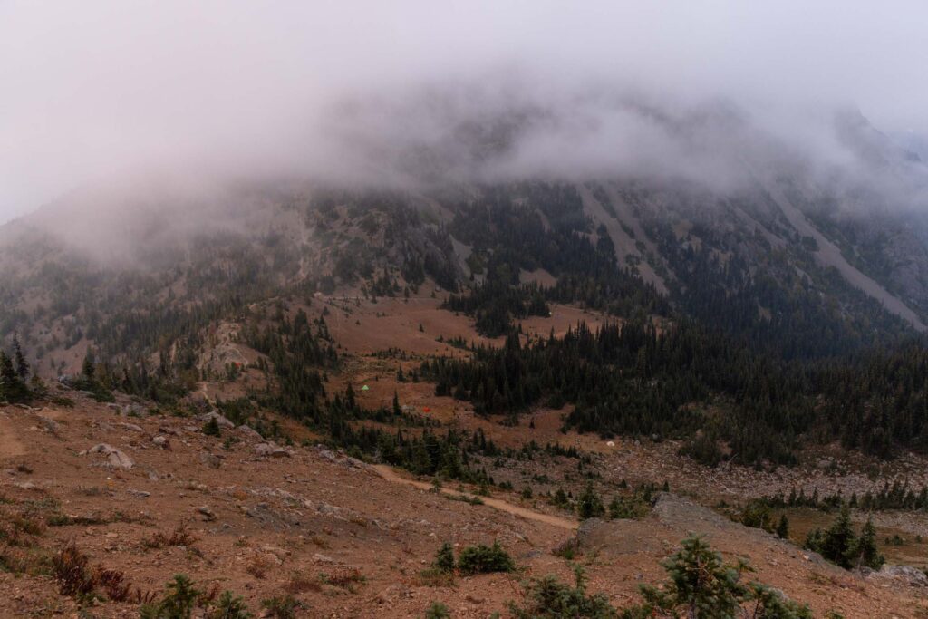
The many tents pitched on the meadows makes me quite sad for the future of the meadows.
Tubal Cain Trail
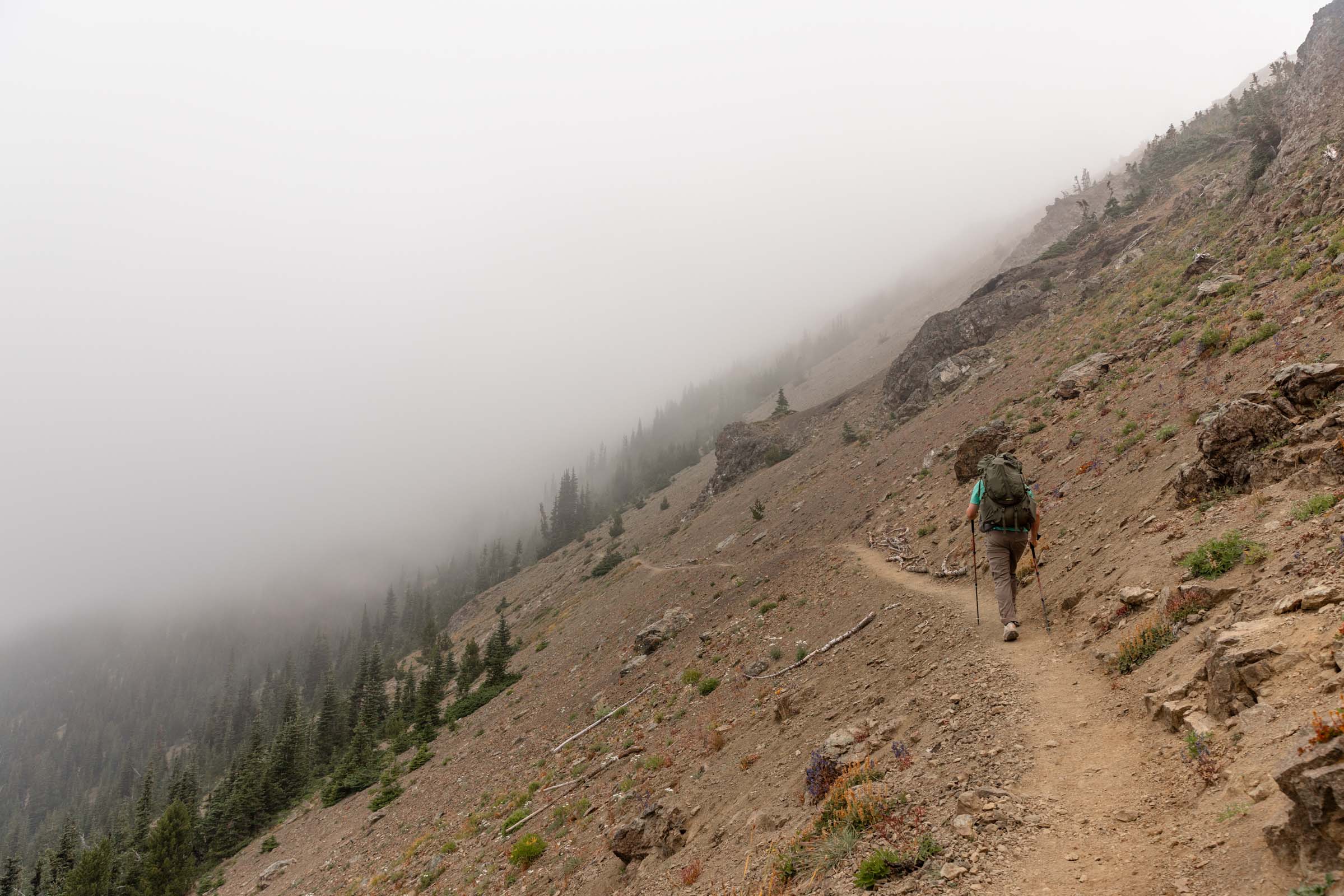
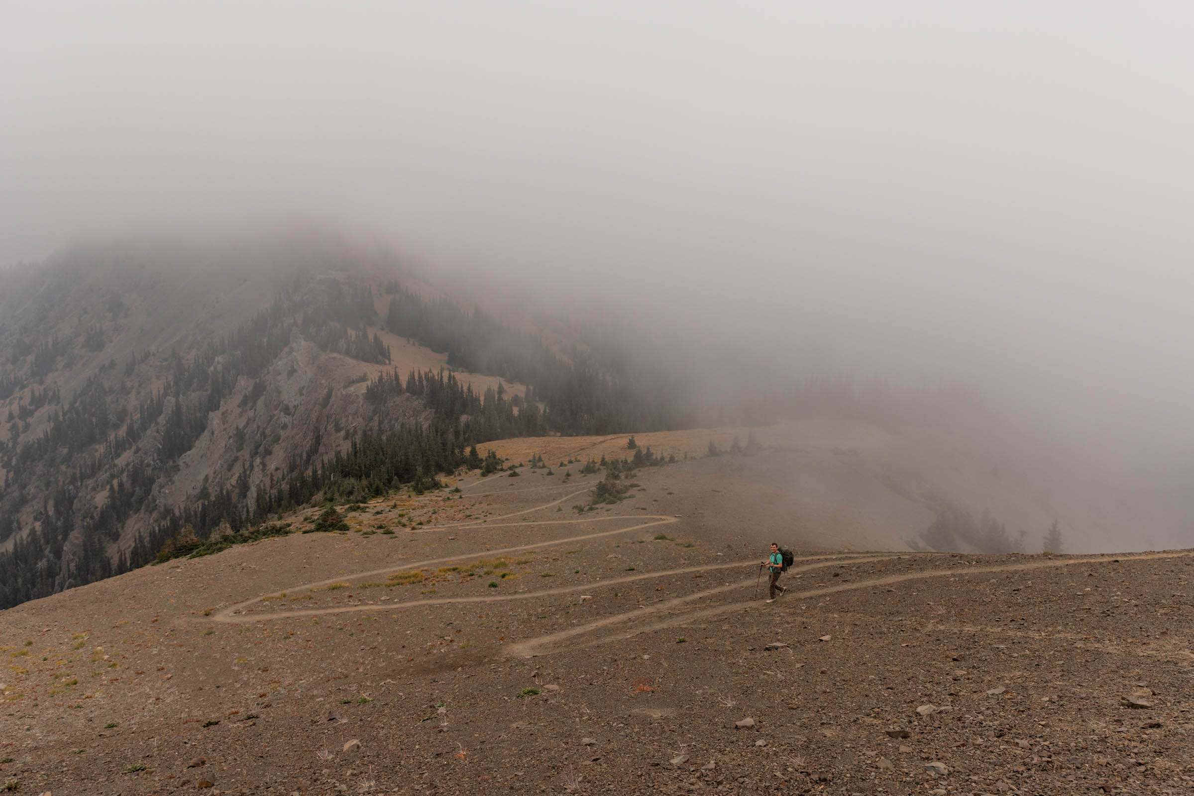
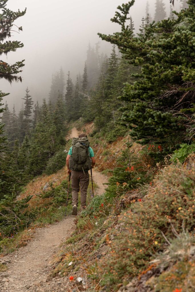
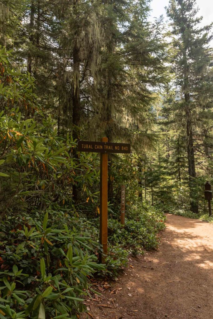
The next morning, we didn’t get a sunrise so we took it easy with a later wakeup call. Plenty of people had headed down already from Point 6294. I’m sure most people took the main Marmot Pass Trail since it is only 5.2 miles each way and 2600 ft gain. I’m glad we decided to do this loop for the exercise and views because we had far fewer people to pass. We skipped Buckhorn Mountain since we were in a fog. So we followed the Tubal Cain Trail, now also part of the Pacific Northwest Trail. Again, that meant mellow trail steepness, which was so great for our knees.
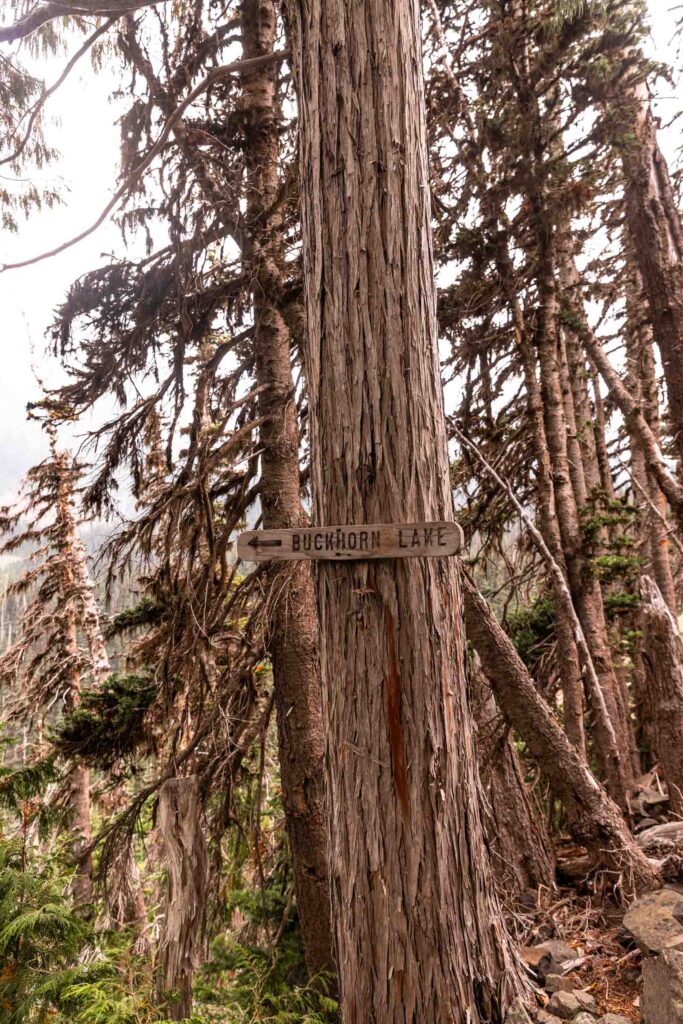
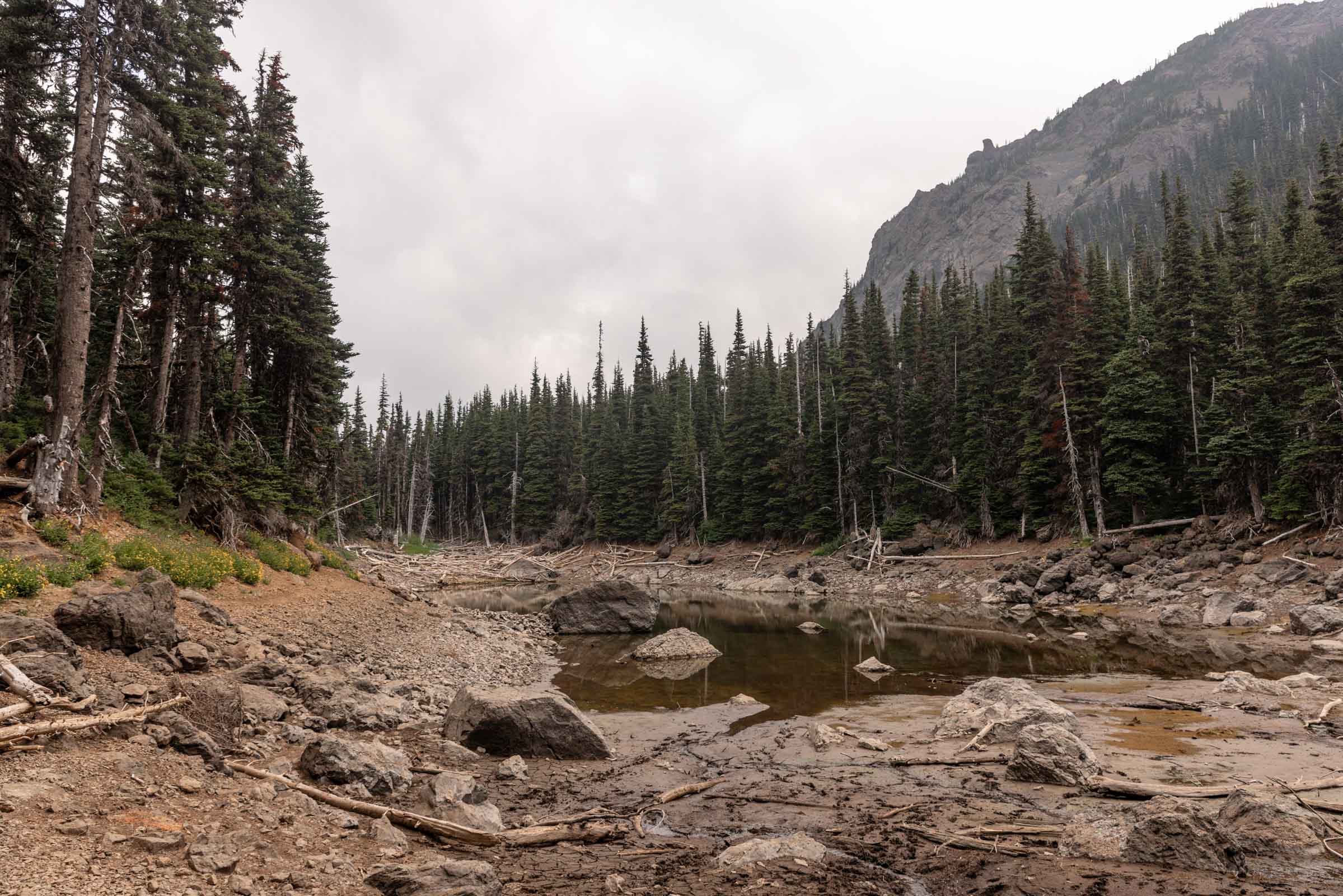
A few side quests existed on the Tubal Cain Trail. The first was Buckhorn Lake. The water level was low and it wasn’t the prettiest lake when we visited in August but I’m sure it’s nicer in early summer. We found plenty of campsites with ample space here and creeks with the clearest water flowing. This detour was nearly 1 mile total.
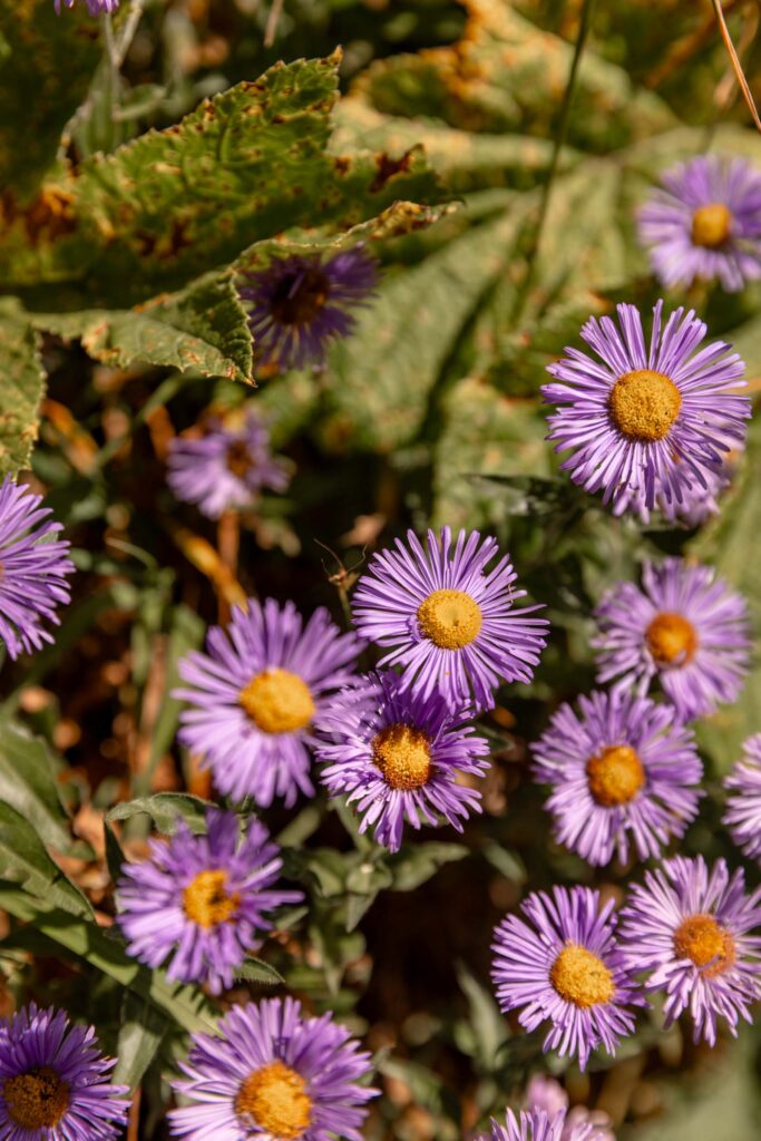
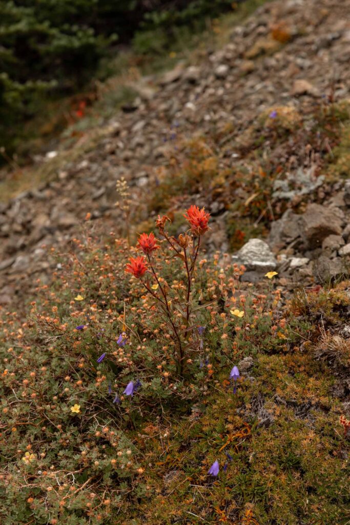
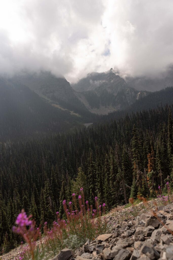
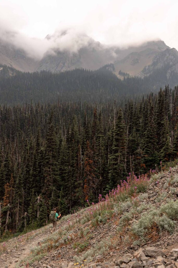
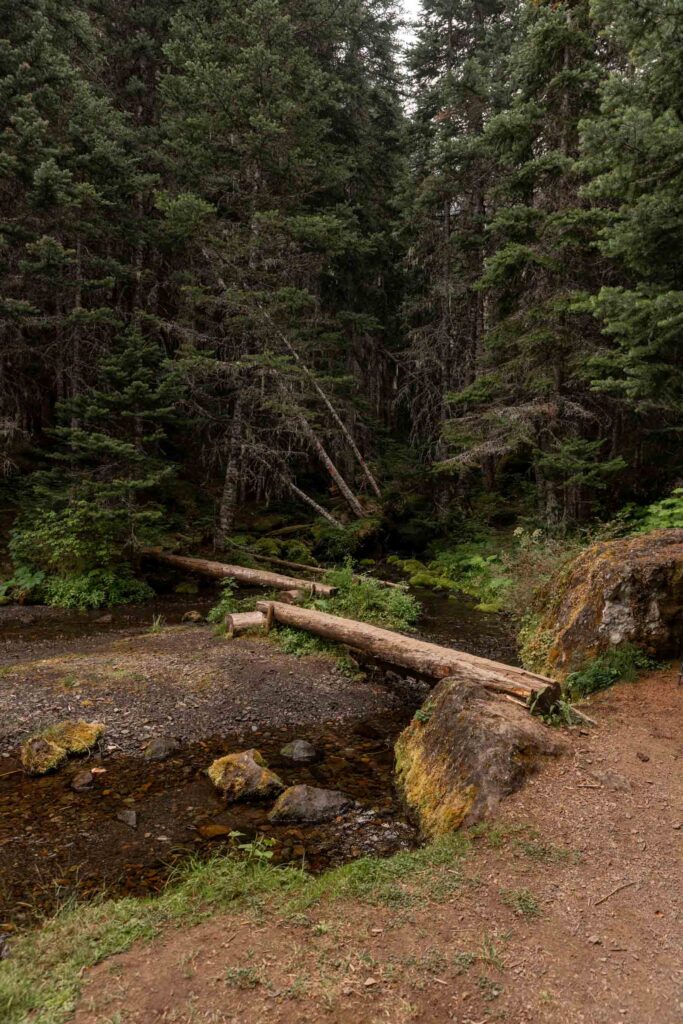
Continuing through the meadows and fireweed fields, we took the steeper cut down the slope instead of the PNT version and cut off nearly 10 minutes from another group who took the less steep route. At Copper Creek, we filtered water again.
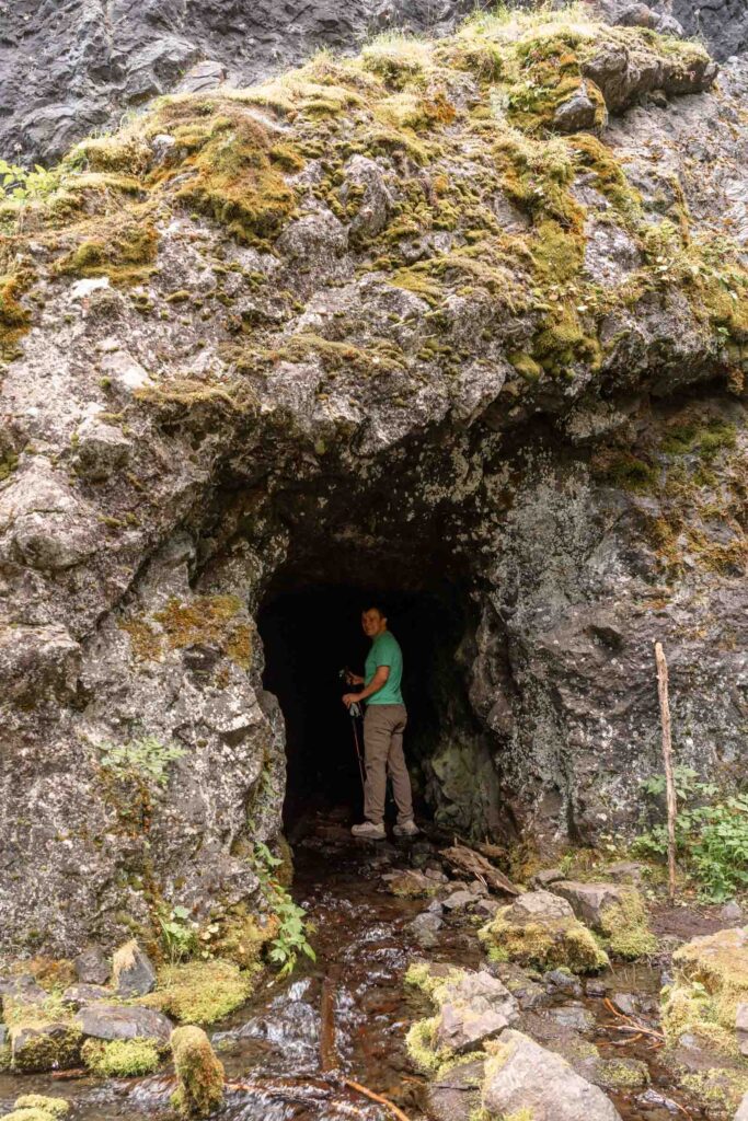
There’s plenty of camping near Copper Creek, especially at the start of the unmaintained trail to the Tubal Cain Mine. This was fun to explore, but worth setting the packs down and bringing a headlamp up to the mine. It used to produce copper and manganese back in the early 1900s but closed after it wasn’t profitable anymore. I wish we could explore deeper, but I get a little scared of caves. It was super interesting that water flowed directly out of the mine.
Shortly farther down the Tubal Cain Trail, we found another cave that someone ahead of us pointed out next to an intersection of trails. This seemed to be a dead end mine where they couldn’t find anything substantial. It was easy enough to walk to the end with just a phone light. If you continued further on this side trail, there’s an old B-17 crash site. It looked to be over a mile round trip so we decided against going. You can find images of it online and it’s a lot of broken parts of an old rescue plane.
The rest of the Tubal Cain Trail was easy going. I must have had something fun to think about because it was just 3 miles of brainless trail. But the last half mile couldn’t have come sooner. It was so ready for a break off my feet as well as a snack break to fuel my growling stomach.
Forest Road 2870
The end of the Marmot Pass Backpacking loop is at the Tubal Cain Trailhead. If you want, you can hitch a ride with someone back to your car at the Upper Dungeness Trailhead. But if you’re stubborn like me, you refuse a ride for the last mile because it’s only just a mile right?? And then groan the whole last mile because your feet hurt. Anyway it’s 3.5 miles of easy walking with the sneakiest little uphill at the very end, which was quite unpleasant in the full sun. When we rounded the last corner and saw the cars, we couldn’t have been more delighted to be able to swap into our sandals and take off the packs. What a trip!
Notes
- No permits required, but follow Leave No Trace principles
- A couple trailheads to start from: Upper Dungeness Trailhead (where I started), Tubal Cain Trailhead (reverse of this trip report), or Marmot Pass Trailhead (out-and-back)
- Road has potholes towards the end but manageable in a low-clearance car.
- There are lots of campsites throughout the trail, but please use only established campsites and camp on durable surfaces like dirt or rock (not meadows). There’s several sites scattered along the Upper Dungeness Trail in the first mile. Then a larger camp area by Camp Handy. Then no other sites until Boulder Shelter where you can find some spots in various areas within 0.1 miles and some spots just a few steps into the Charlia Lakes Trail. There are also a couple sites at the lower Charlia Lakes. At Marmot Pass, there’s several sites along the ridge if you walk 5 minutes North or South plus some lower by the trees on the east side of Marmot Pass. Mystery Camp can get crowded. Tubal Cain also has a few small sites on dirt as well as on Buckhorn Mountain itself though I did not scout those.
Photos taken on Canon EOS R5


You May Also Like
under-represented strength | mt baker via easton
rain, rain go away | alpine lakes high route