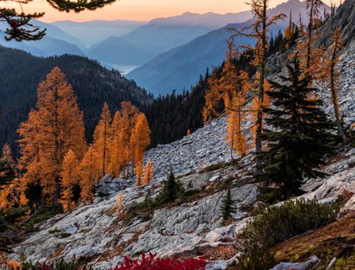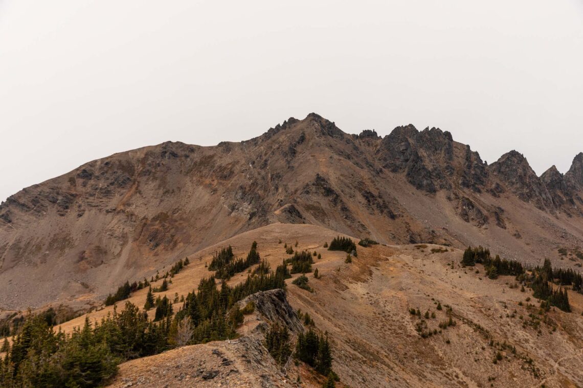
ladies traverse | grindstone, cape horn, ladies peak scrambling
21 miles . 7700 ft gain . 7675 ft high
Alpine Lakes Wilderness
If you want an Enchantments-sized hike with no crowds, this is it. We saw zero people. And I don’t know when the last time I saw zero people on a hike or climb! Plus larches, scrambling, and just a lot of fun! Or really, no scrambling if that’s not your jam.
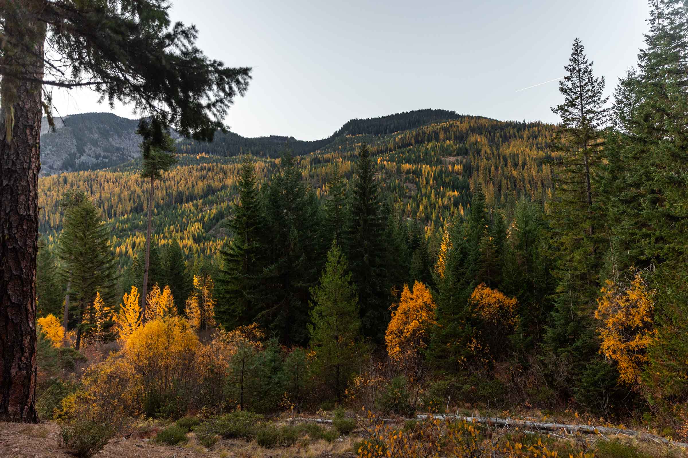
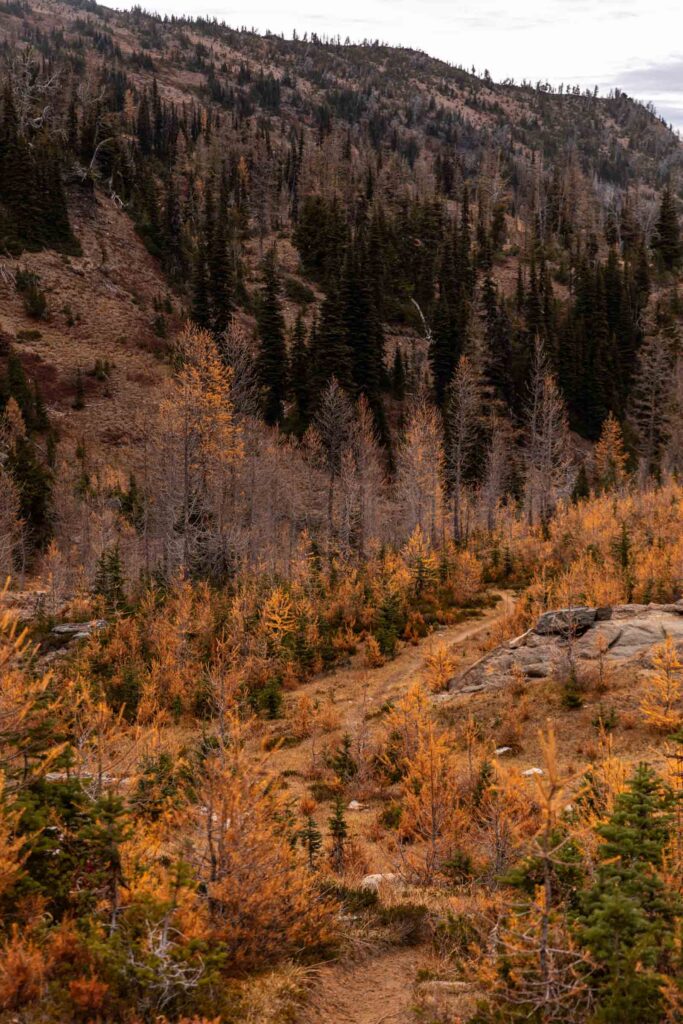
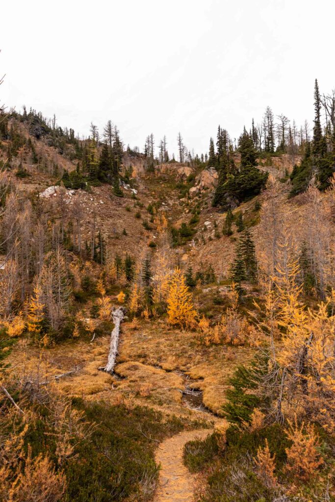
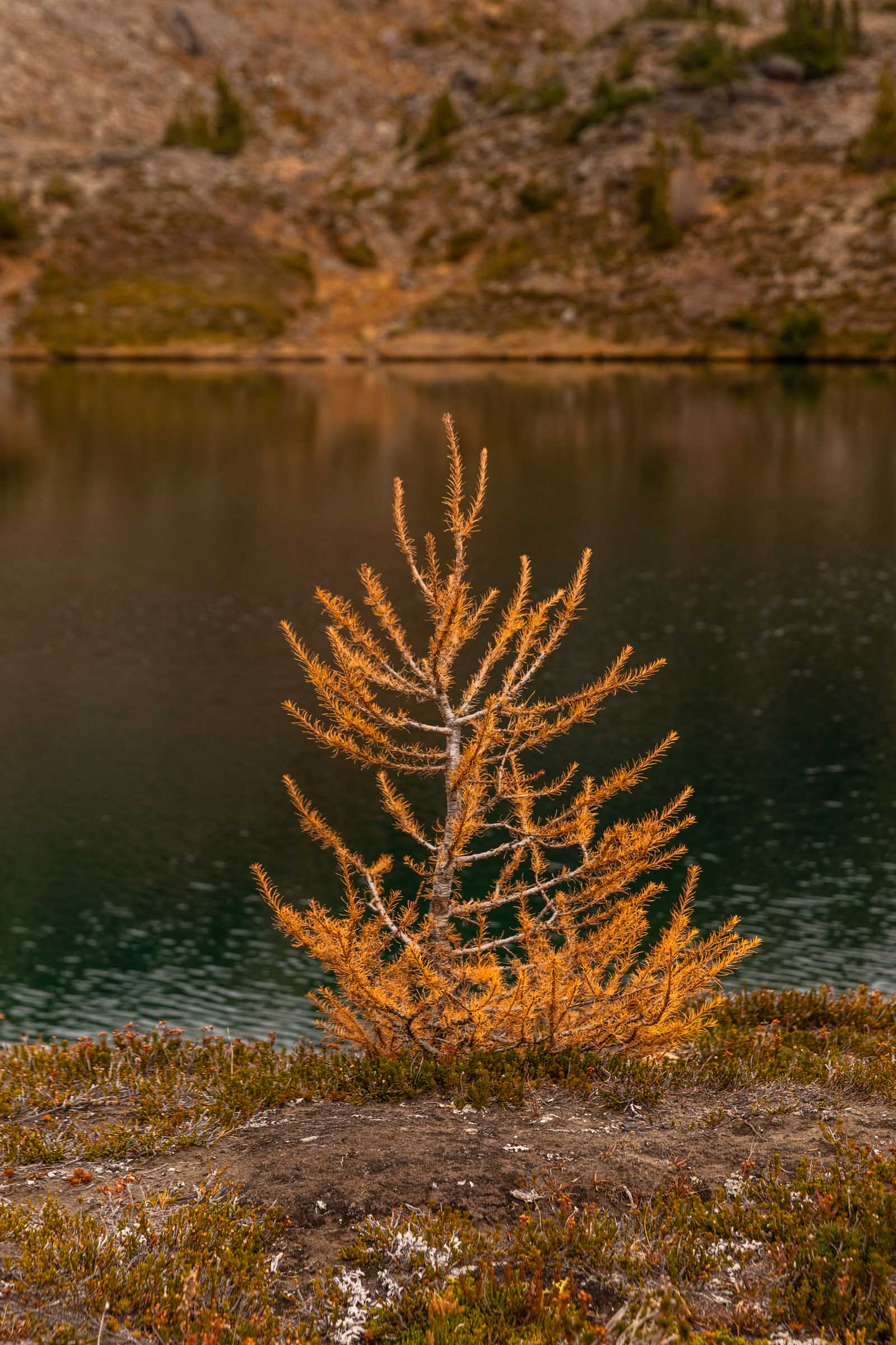
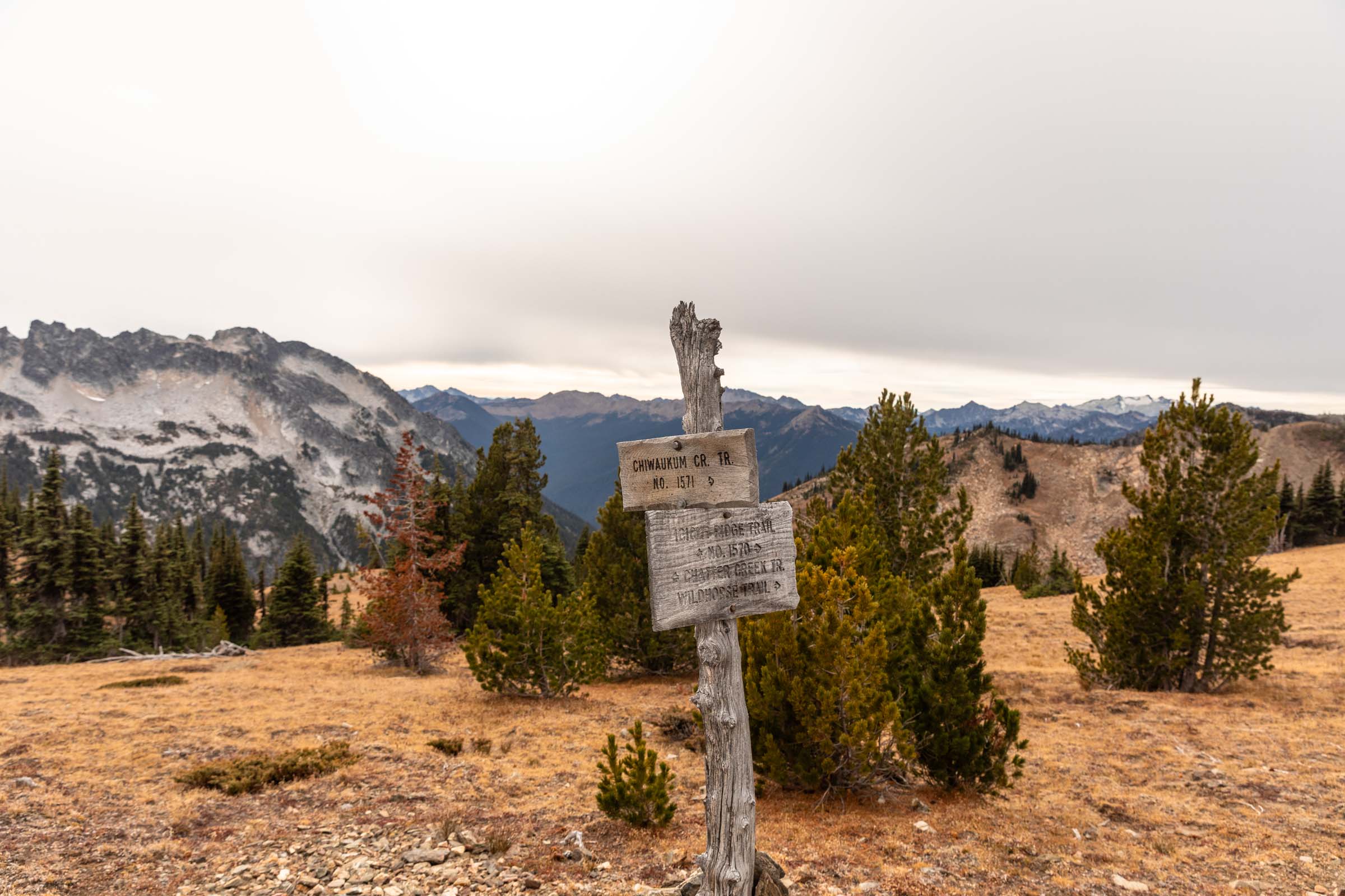
We woke up at 3:30am to start our car shuttle (oof the gas) at 6am in hopes of a 7am start. But with delays here and there we didn’t end up starting the trail till 7:30am. We found so many larches on the opposite side of Icicle Creek. I suppose these are the Western Larches that don’t turn golden till much after the famous sup-alpine larches. But we marched onward because we had a long day ahead. The Chatter Creek Trail is probably one of the better trails in the Chiwaukum, which was good for us since we wanted to make the miles go by fast. But alas, I feel like I was a bit out of shape compared to what I had expected of myself and this 4.4 miles took a solid 3 hours somehow! I guess it was a solid 4000 ft of gain too. But then we truly somehow averaged 1 hr up and 1 hr down for every peak then after.
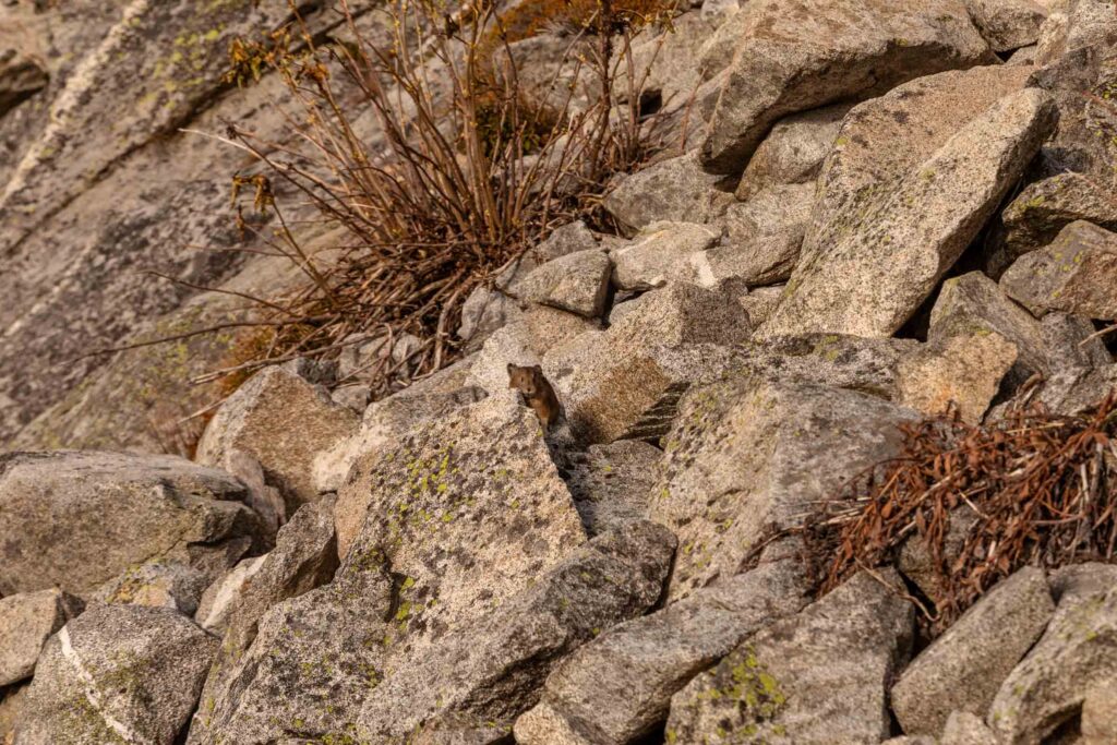
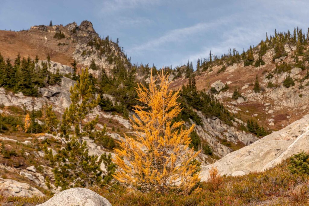
Grindstone
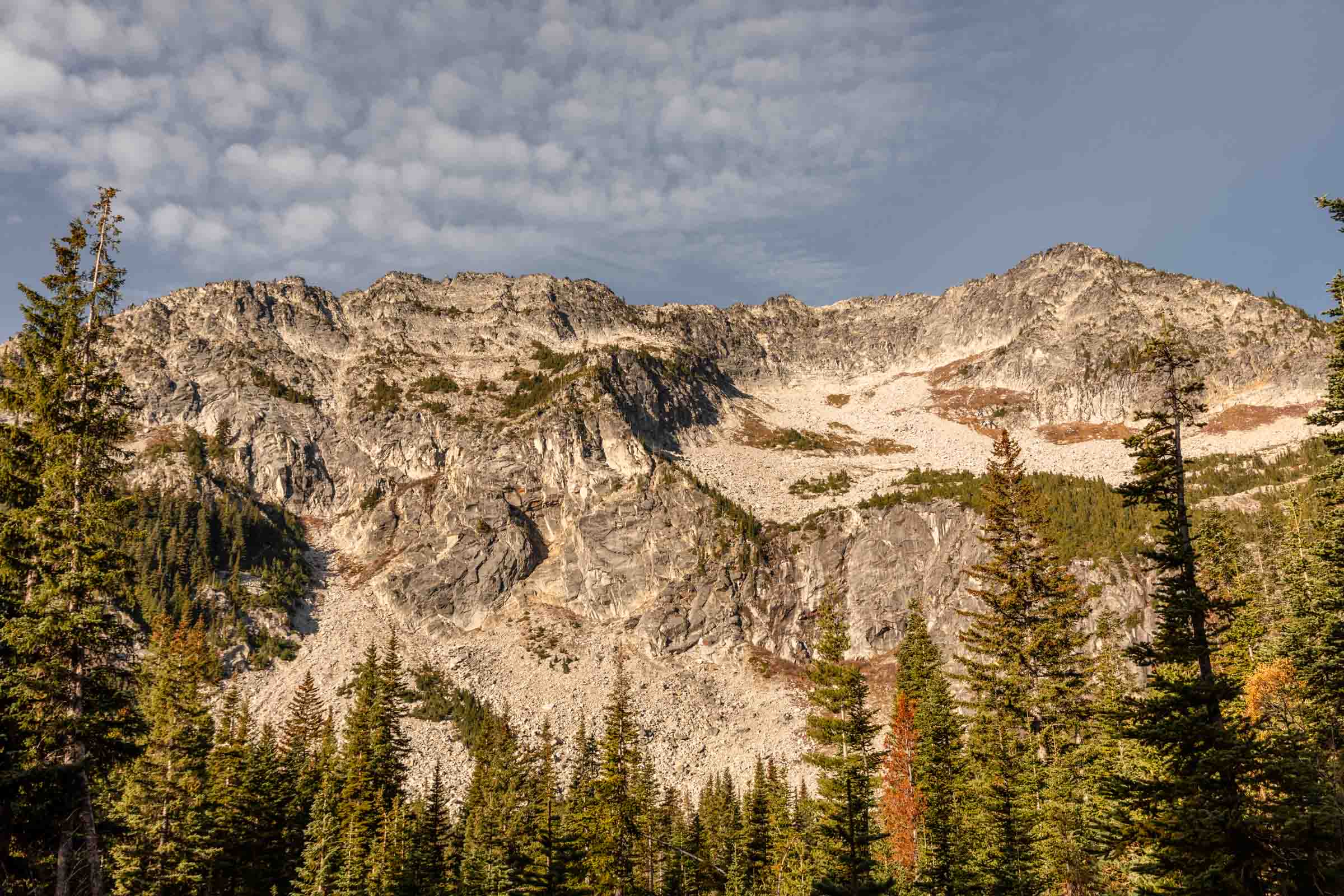
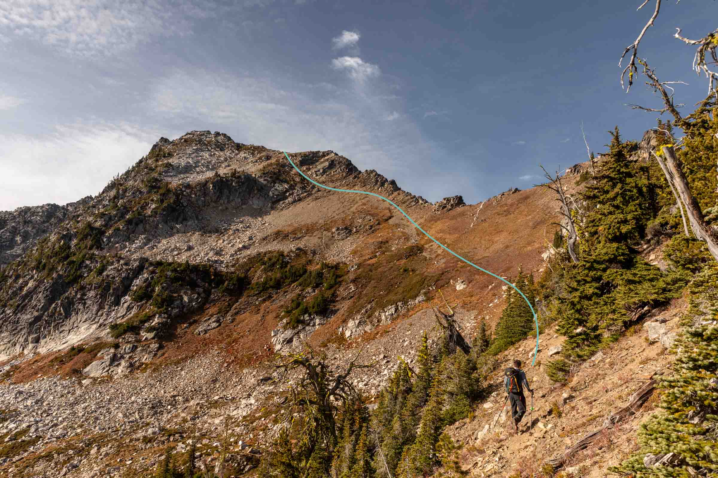
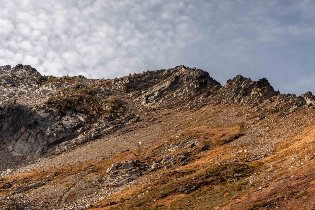
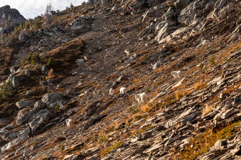
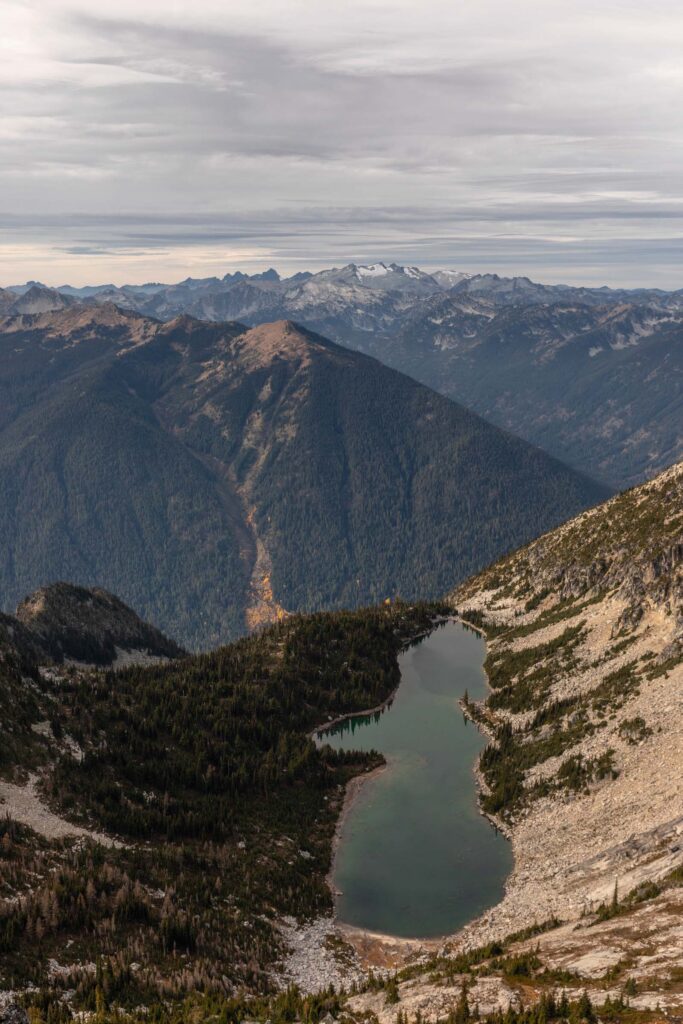
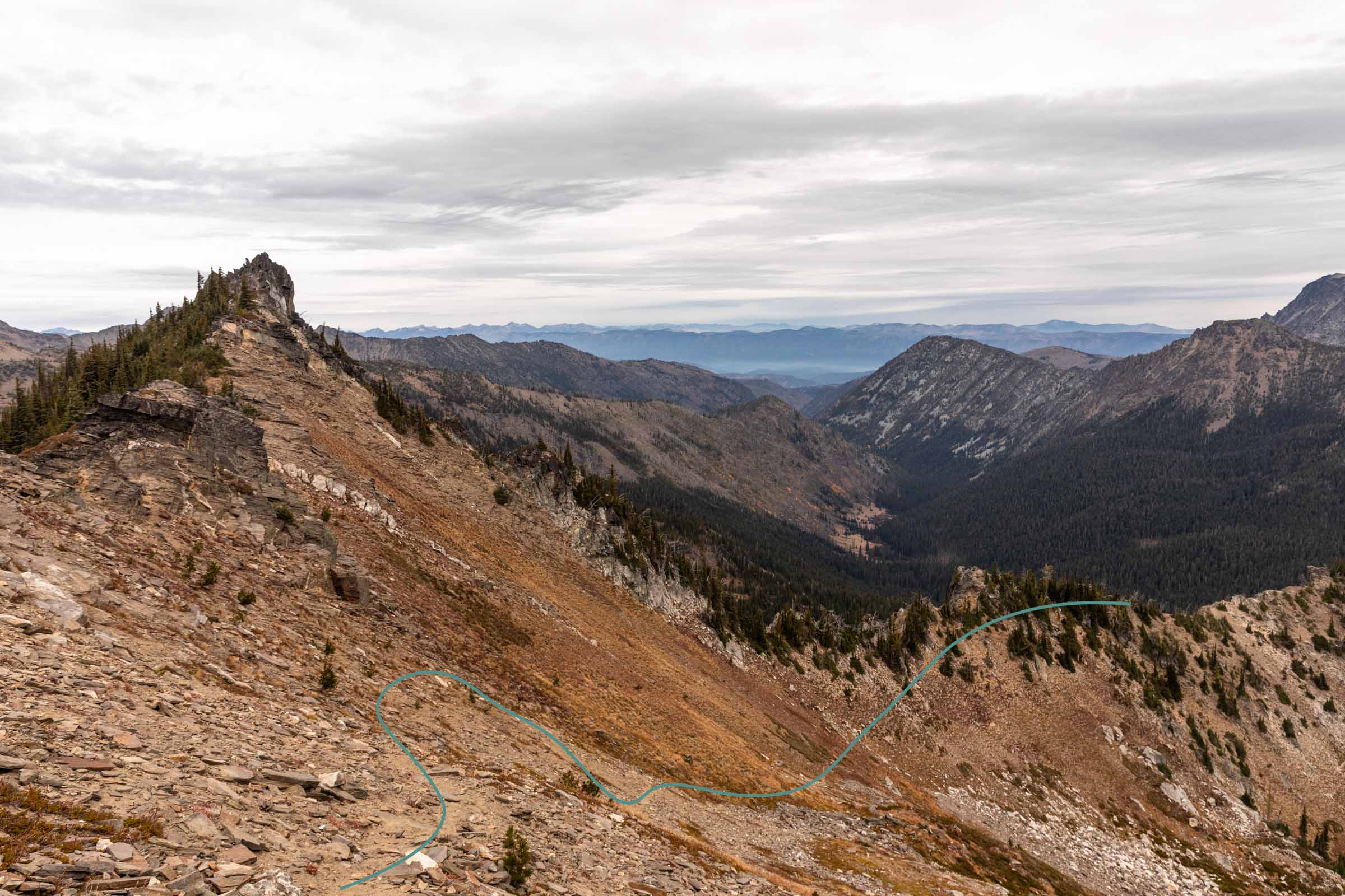
We started off with the most off-trail scramble, Grindstone. Immediately from the Chatter Creek Pass, we followed the ridge and then the faint trail upwards to the shelf on the far north shoulder of Grindstone Mountain around 7300 ft. The way up was definitely steep but the runouts were never too scary. Plus I channeled my mountain goat energy: if the lil goats can do it, so can I!
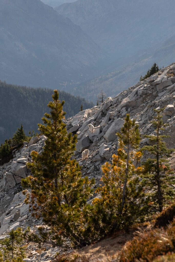
We accidentally scattered a few mountain goats on our way up with a nice break on the shoulder just to take a peek at the rest of the scramble. More boulder hopping instead of loose soil. Awesome! It should be less mental for me. But it was still another half mile, crazy.
There are cairns you could follow but you weave your way around some cliffs, having to descend immediately from the shoulder about 100-150 ft before slowly heading up to the main summit of Grindstone Mountain. The whole scramble is mostly class 2 with some optional class 3 moves, in my opinion. The hardest part for me truly was the soil at the beginning, haha. Everyone has their own skills and traversing on steep soil is not mine.
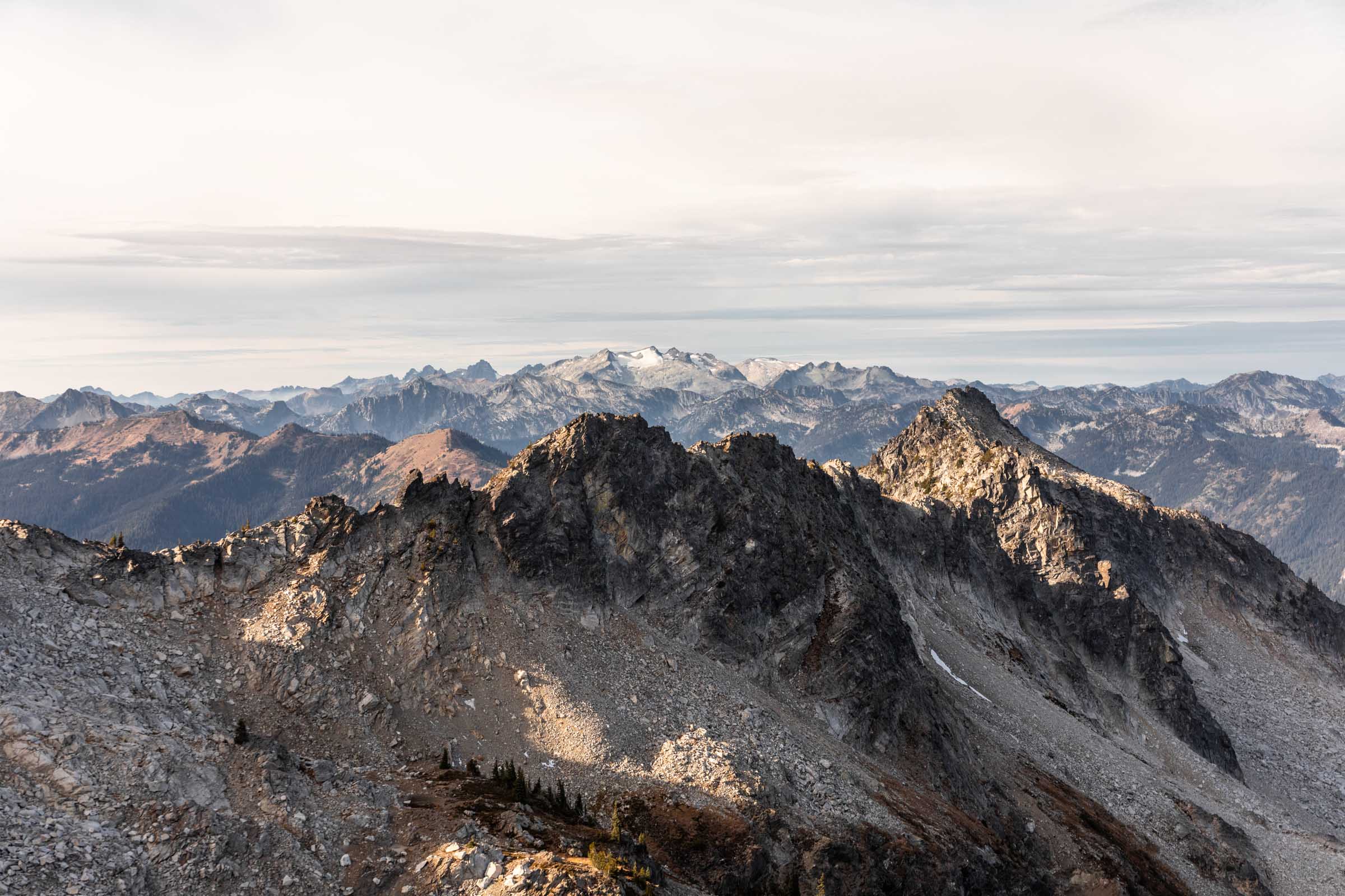
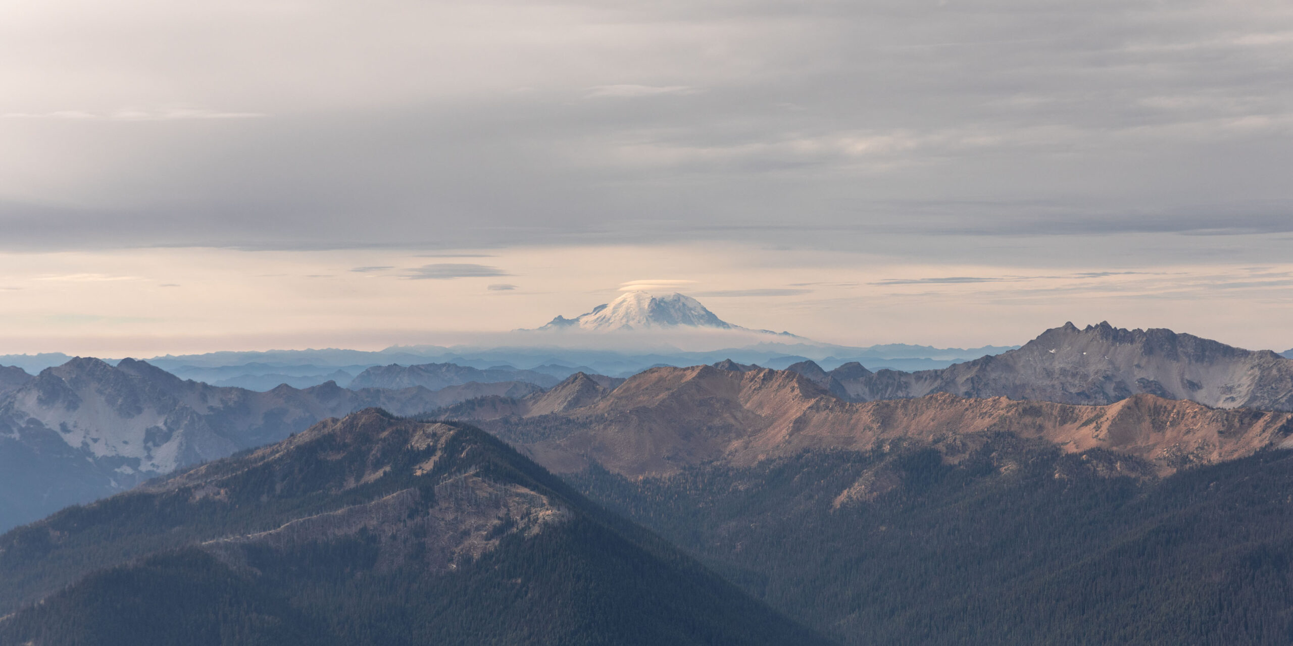
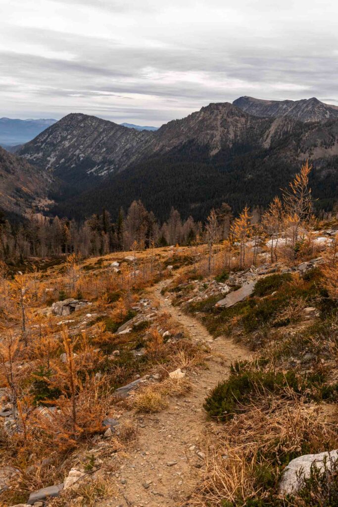
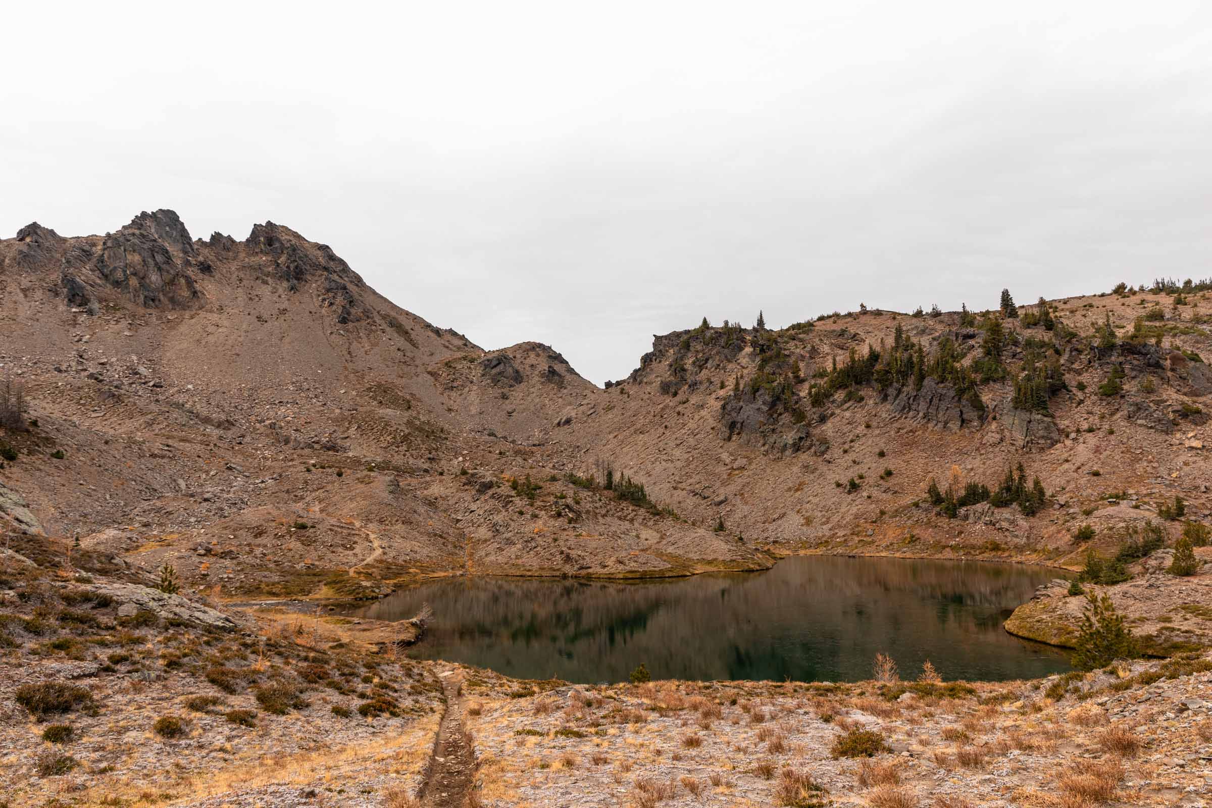
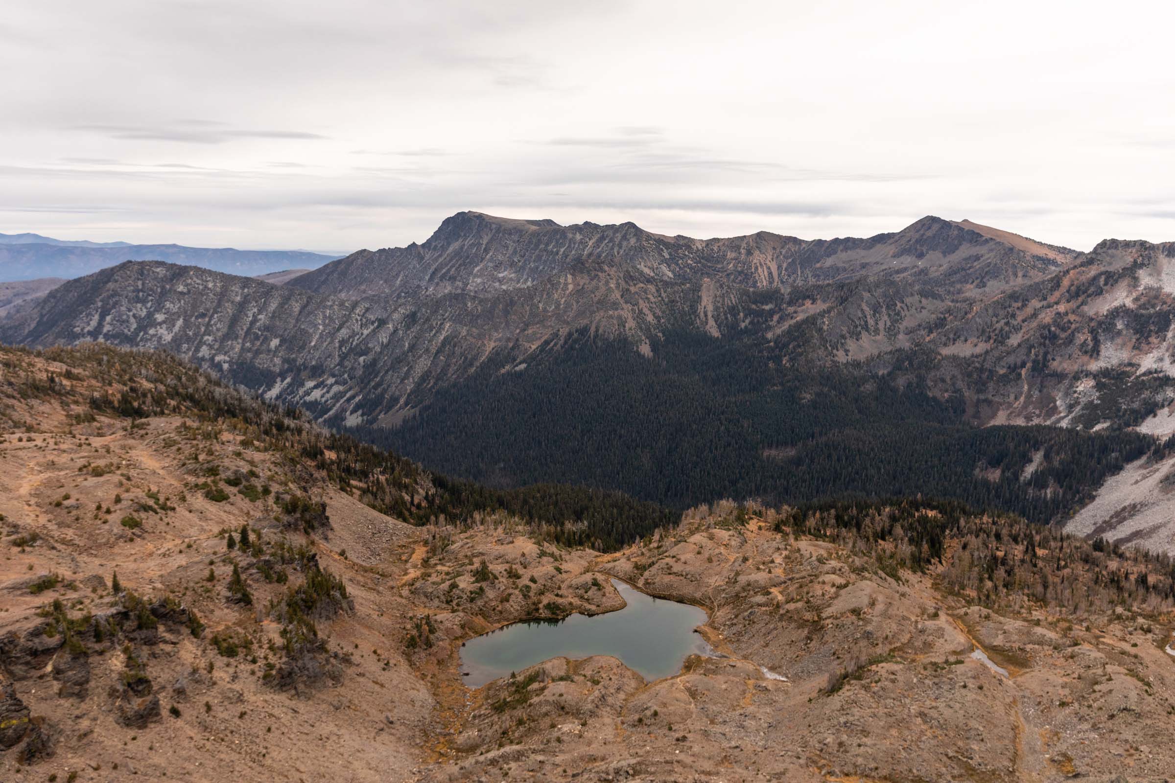
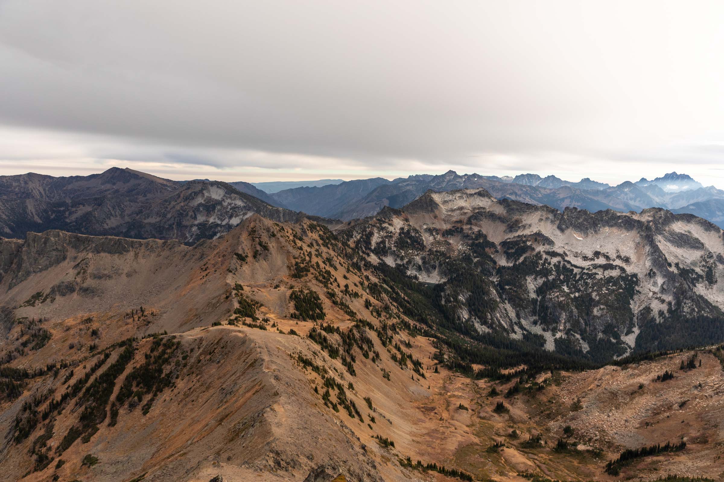
It was very windy this day so we often had to hide behind rocks for shelter from the wind. But the views were great (not that they were too different peak to peak). We could see into the Enchantments, the golden larches and aspens below, and lakes that surround us. We could also see as far as Mount Daniel and Mount Rainier where we could, sadly, see the smoke rise from the Grand Fire on the north side of the national park. The smoke even blew all the way into the Enchantments for a brief moment, clouding the view of Ingalls Peak. We kept our breaks short (only by feeling, we probably could’ve timed it to keep moving faster) and took the hour to travel the 1 mile of off-trail back to the Chatter Creek Pass. Goodbye goats!
Cape Horn
I had previously been on this trail twice. Once as a larch hike to Lake Ida and once to scramble Cape Horn. While Chatter Creek is a great trail, Icicle Ridge is severely overgrown. So much that some of my friends turned around early on a backpacking trip cause they were fed up with it. Honestly shows how little traveled the Chiwaukum is, for better or worse.
Anyway, it was more easy trail (yay for easy travel for the long day ahead) on mostly flat before the uphill began again. My legs were so tired already, I was wondering why I decided that this trip was a good idea. I suppose since my friend suggested it and because I love a good challenge and maybe because I wanted to prove to myself I could still do hard things after consistently only hiking short trails in the last couple months.
Safe to say, 800 ft of gain felt difficult at this point of the day. I nearly decided to skip Cape Horn, especially since I had “tagged” the peak before. But I really wanted to say that I scrambled 3 peaks, so I peer pressured myself to finish the last 200 ft. And it was worth it! To hang out with a friend and eat snacks together is always better than leaving your friend and eating snacks alone.
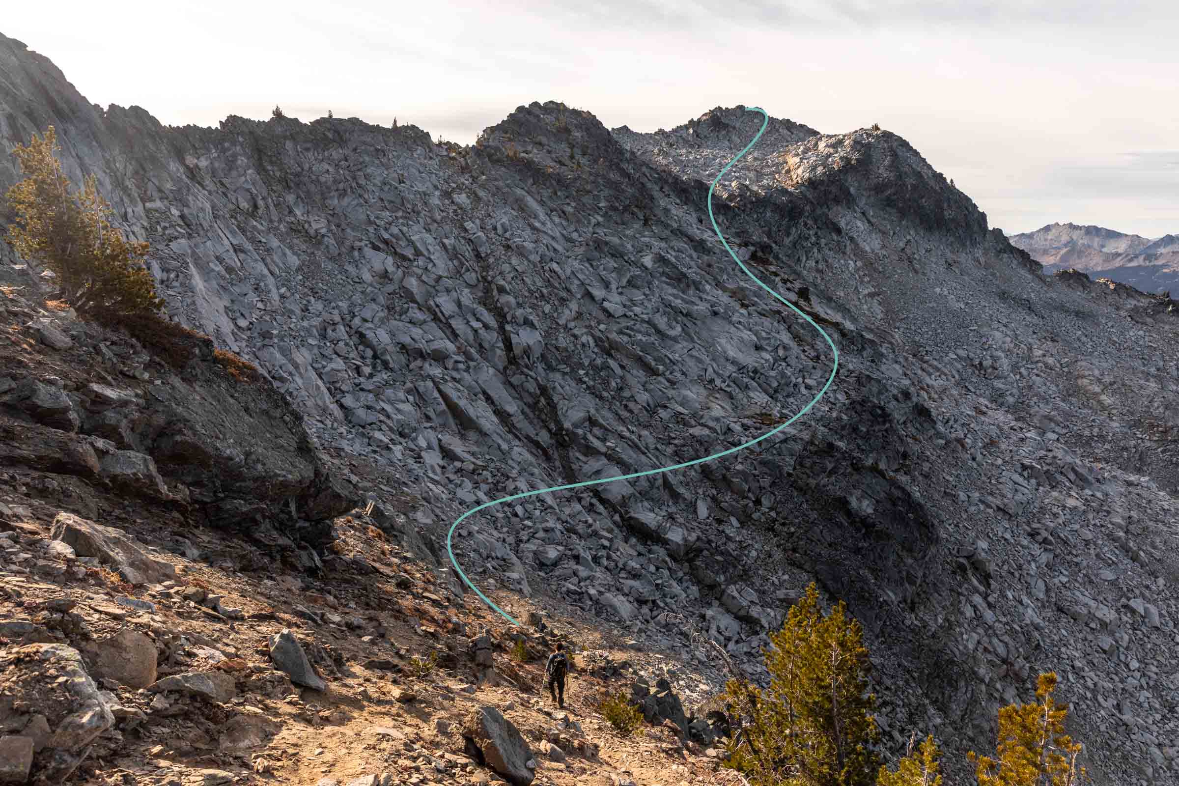
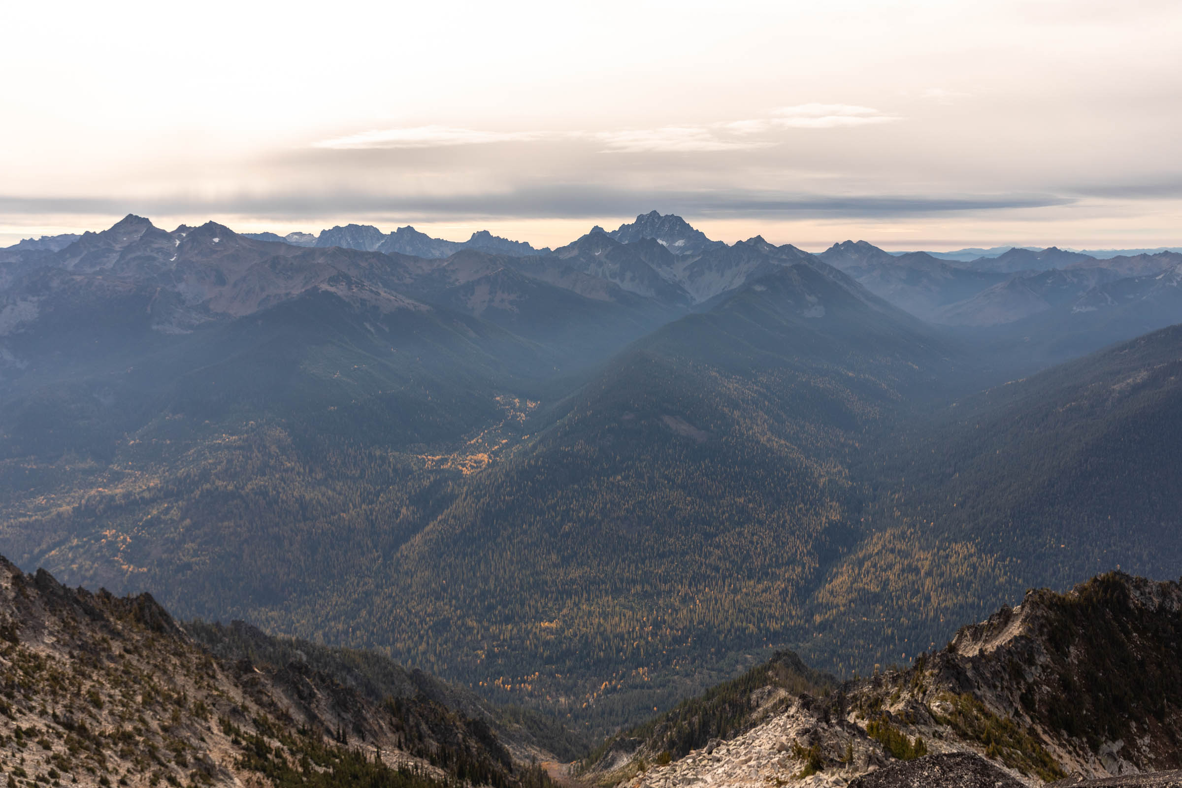
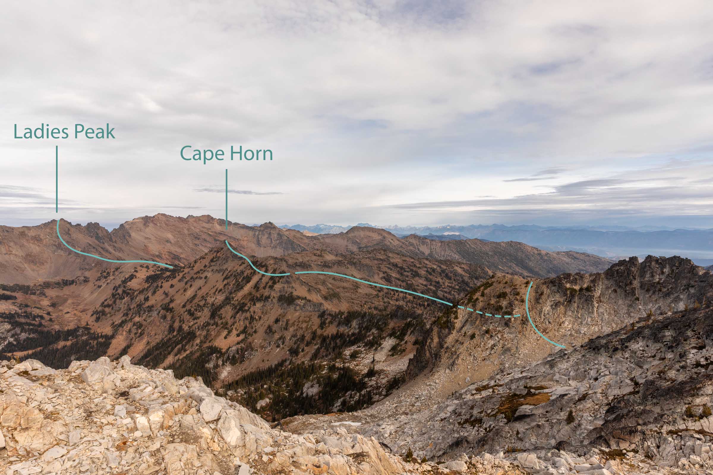
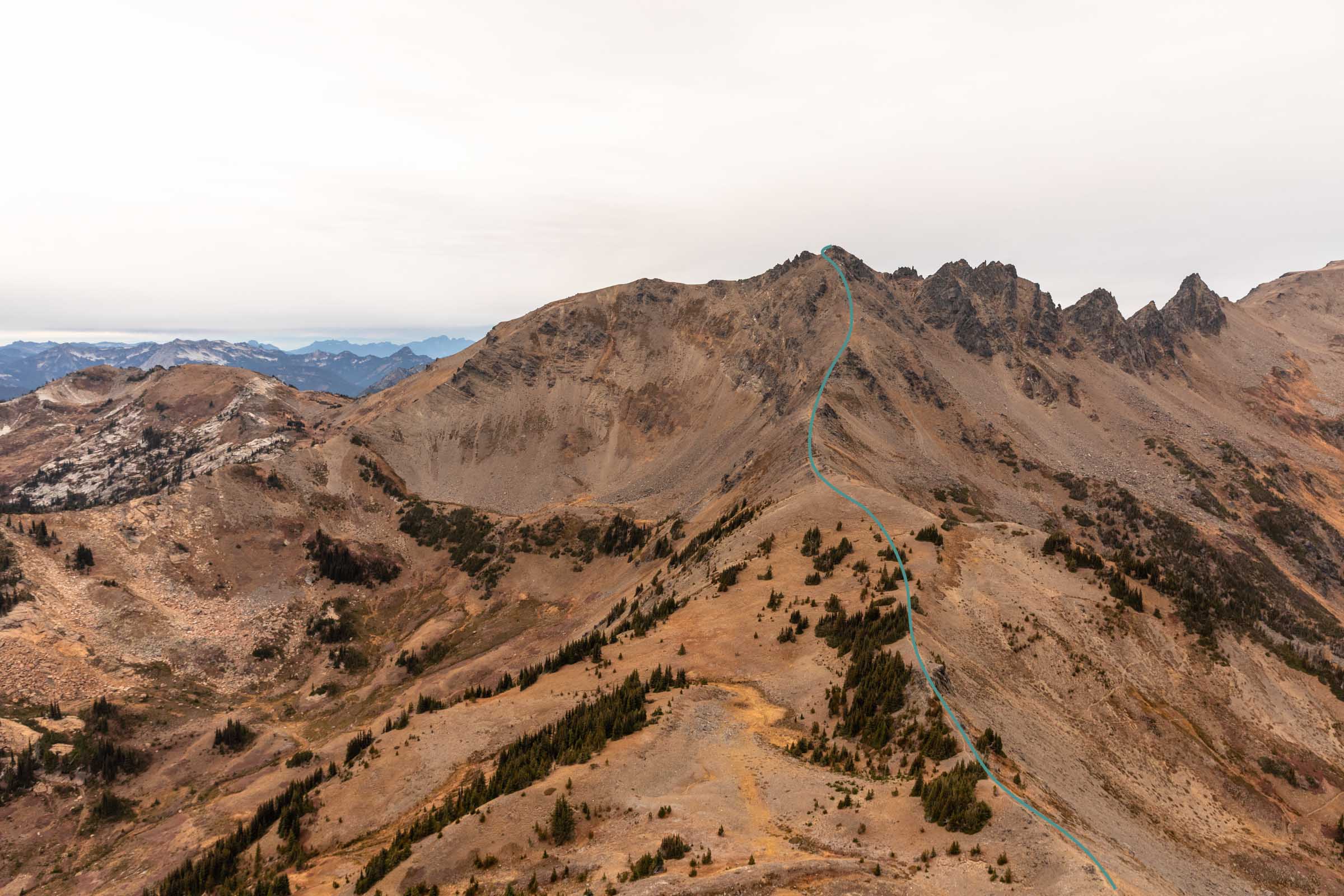
Again, the views were similar to that on Grindstone, just a little different. And we got a better view of Ladies Peak, an unknown peak to me. It wasn’t even on my radar, unlike Grindstone. But I think it was mostly my lack of trail research (happens to the best of us). As the person joining the trip rather than the initial planner, I only spent time looking at the start and not the end.
I’d say that at first, the southeast ridge of Ladies Peak looked entirely improbable. But a good reminder that slopes always look steeper from afar than when you’re right up next to it. Also a good point of support that most people scrambled Ladies Peak from the southeast ridge. For now, we had a gentle traverse before thinking about another 800 ft up.
Ladies Peak
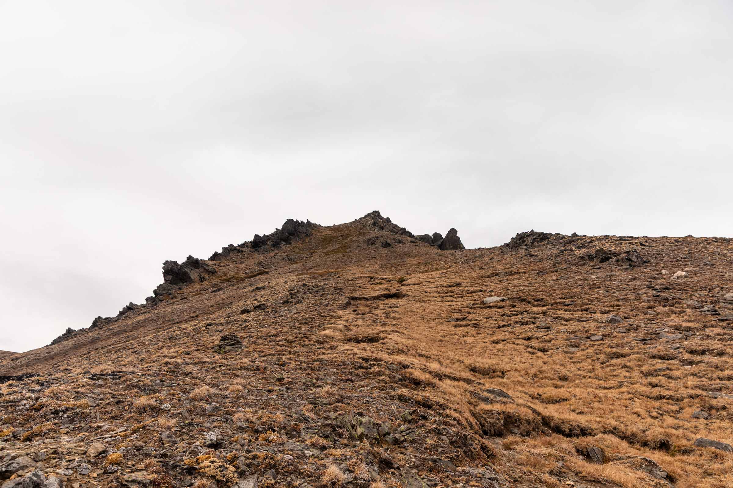
Ascending Ladies Peak via the southeast ridge is no problem. It was so much easier than Grindstone, in my opinion. The ridge is gentle and smooth when you leave the trail and as it steepens, there’s lots of good footing before the “loose soil” section, which is short and felt less steep than going up Grindstone. I do think the fact that we only had to go up and not across helped me.
Near the summit, the path wraps around to the west face to the top. And yes, there basically is a trail here. Hooray, the last of the uphill is done! …except not because there were quite a few sneaky uphills on the exit trail.
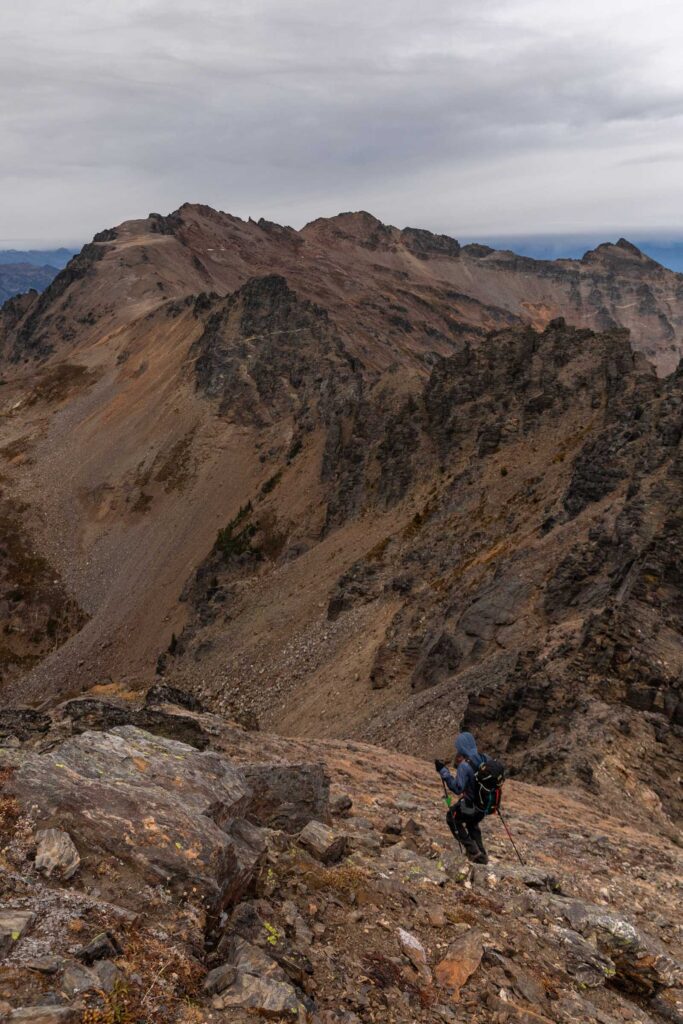
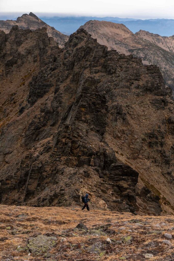
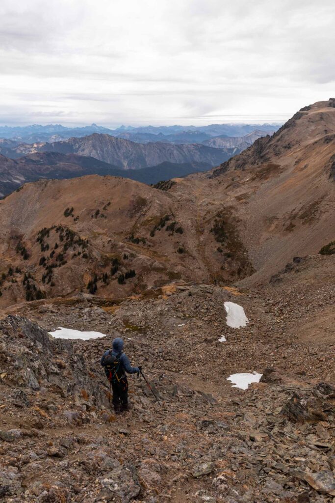
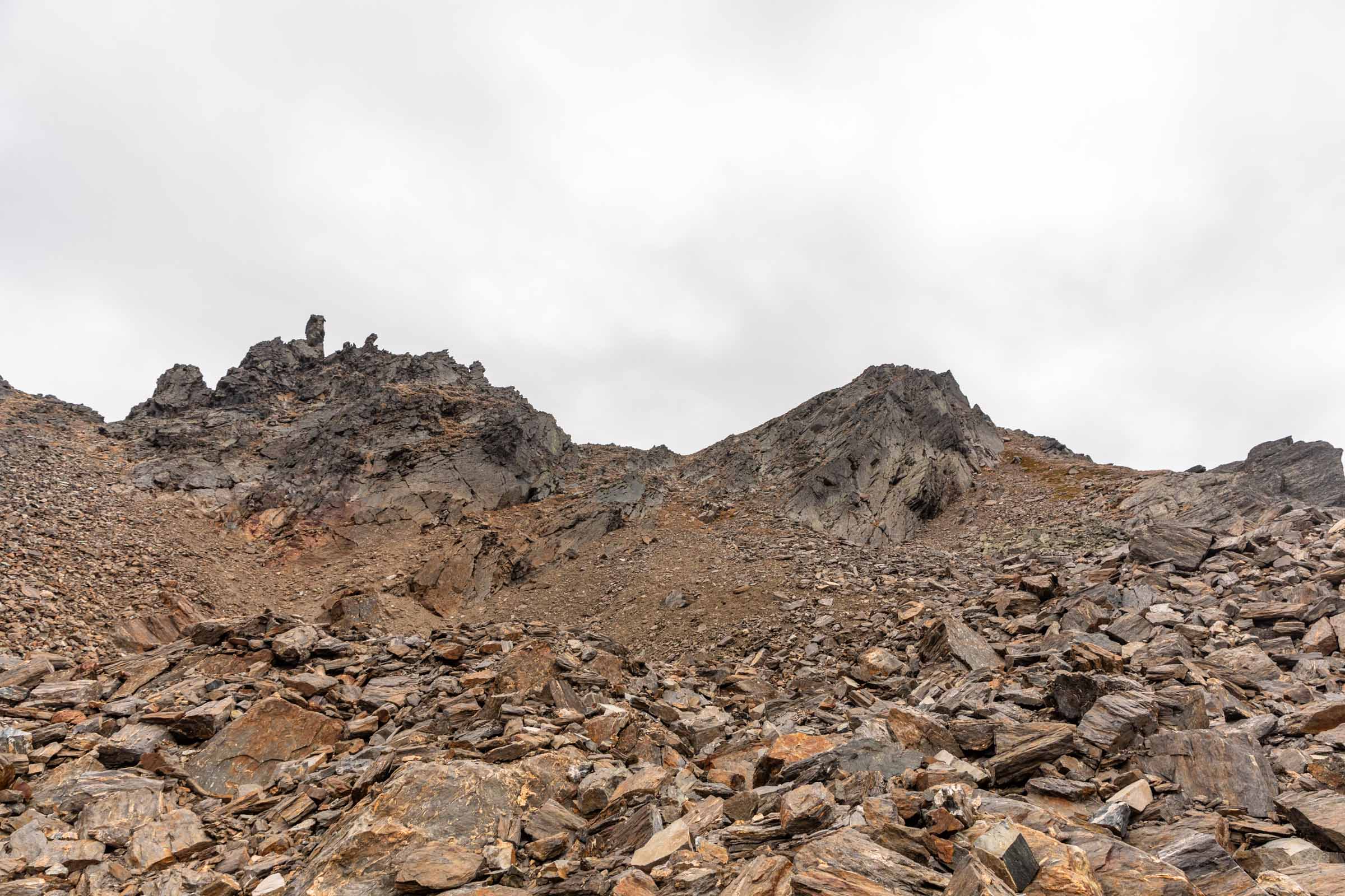
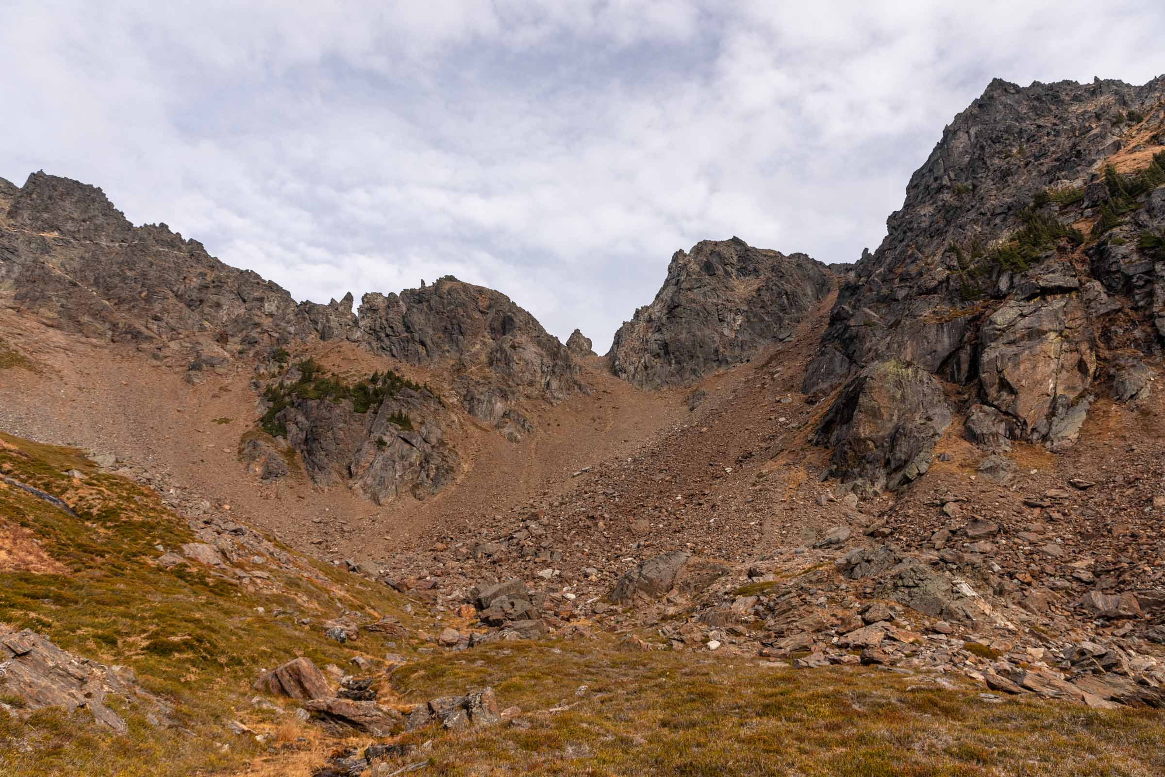
To descend Ladies Peak if you don’t go back the way you came up, there is a possible path through the north ridge. But this is edging class 3+/4 in some parts due to steepness and loose rock. I believe that you can also take one of the other southwest ridges down but I didn’t explore those options.
From Ladies Peak summit, we headed north towards Snowgrass and made our way down an open slope that somehow bottlenecked again. It seemed weird that an open face is met with a ridge beneath, but mountains have their way. At the ridge, we turned left (northwest) and I gingerly picked my way down, thinking this was the scary gully we’d have to descend. No, we were far from that!
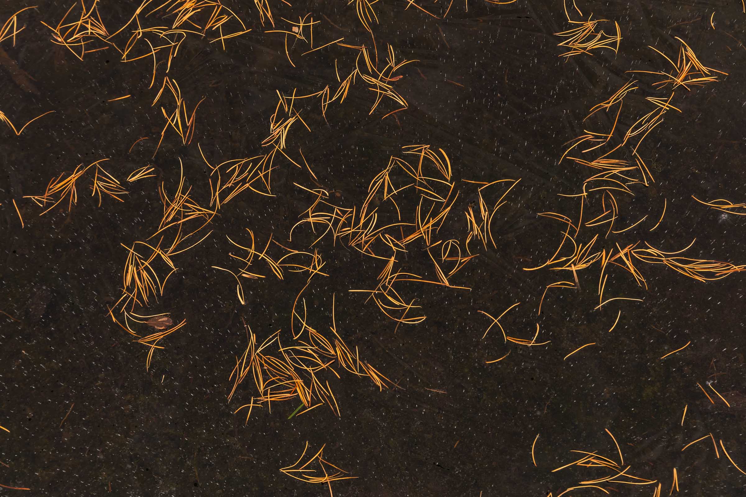
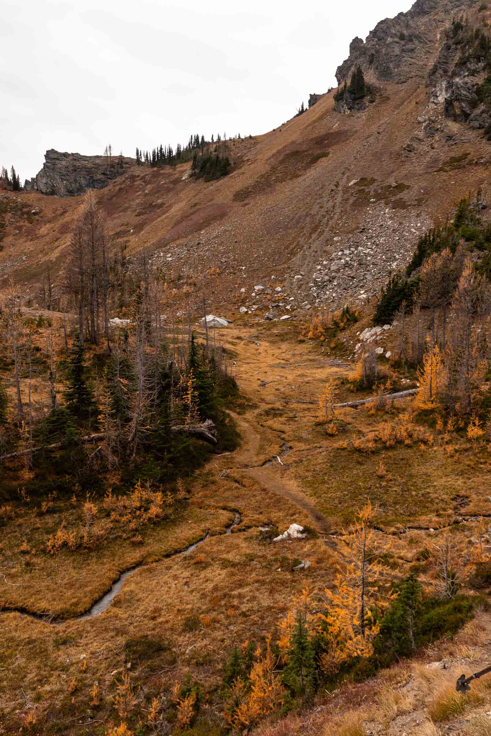
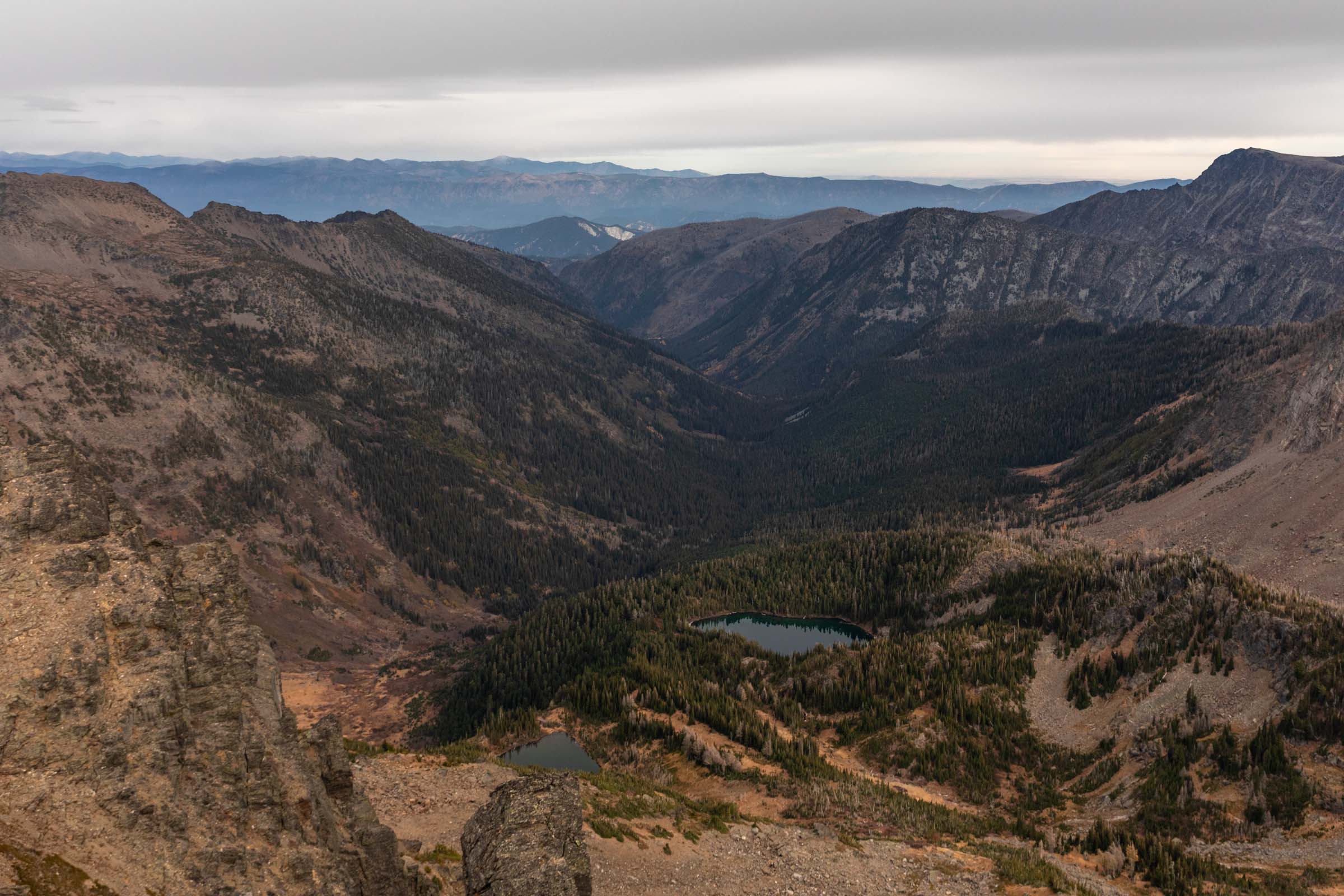
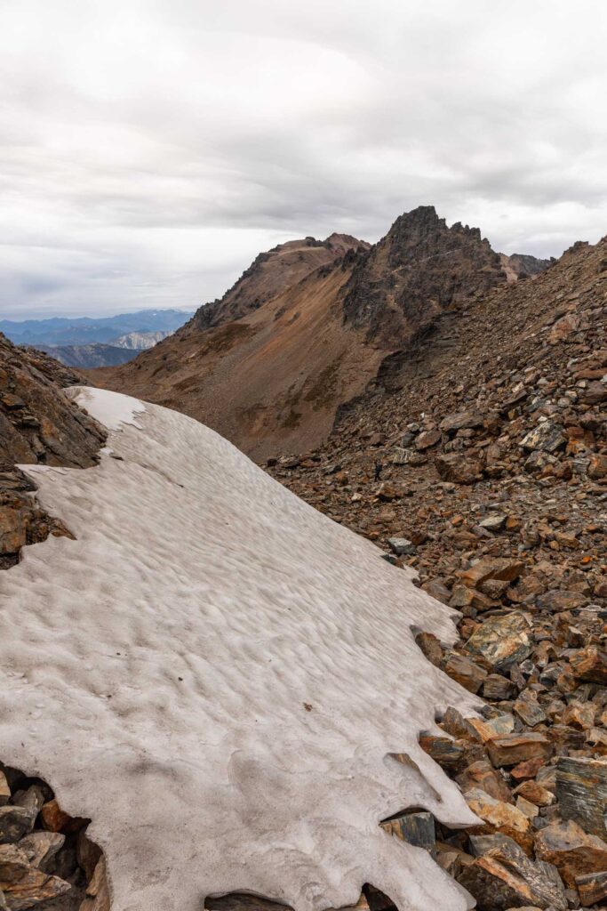
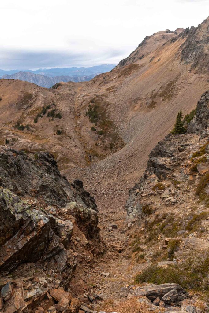
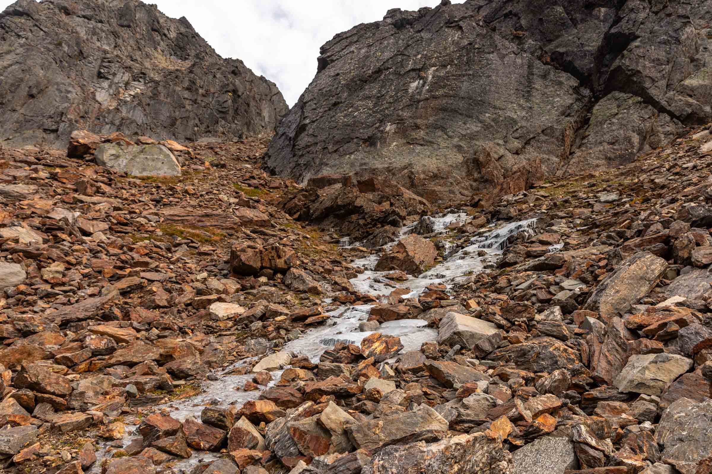
There’s a dying glacier where you might still find some patches of snow left but we travelled to the northernmost corner of that basin to the easiest looking gully. I suppose there might be other options but this did work fine for us. I enjoyed having the walls of the gully to use as support as I slowly made my way down 200 ft. And once we got out of the gully, we found some spectacular views of Frosty Creek. We kept sauntering on our way down the drainage, admiring the frozen surface of Frosty Creek and the air bubbles traveling down the gaps like lava lamps.
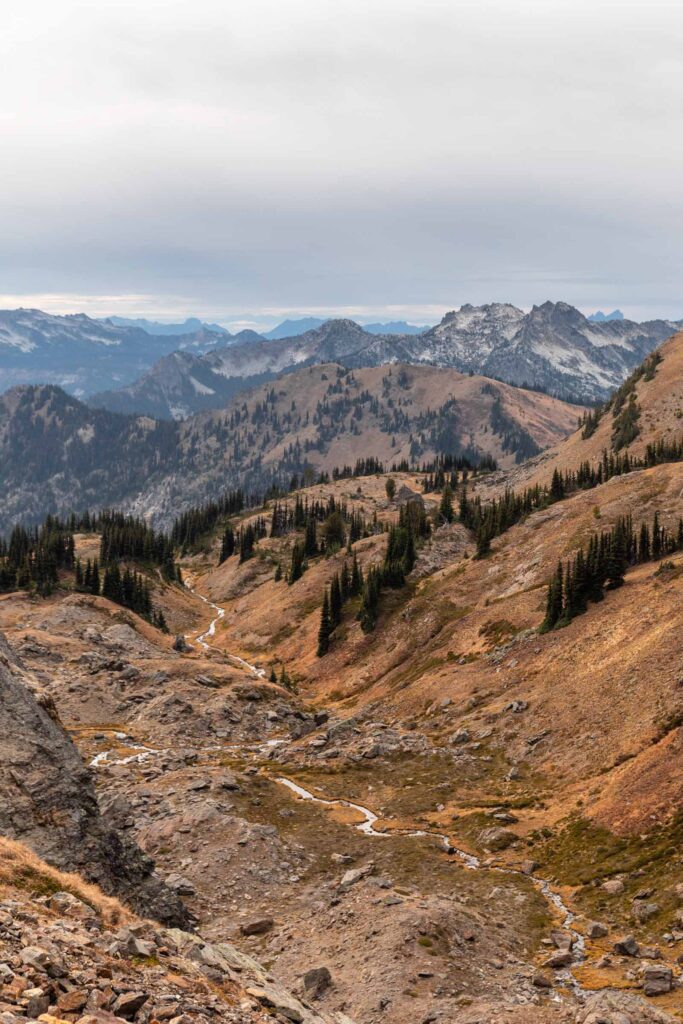
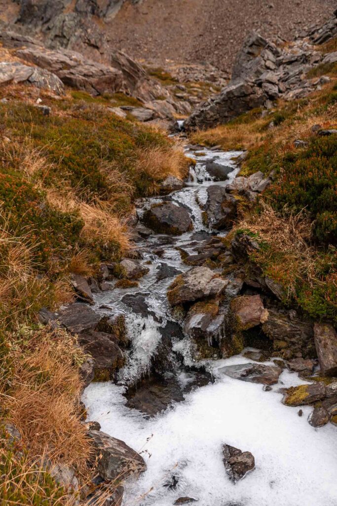
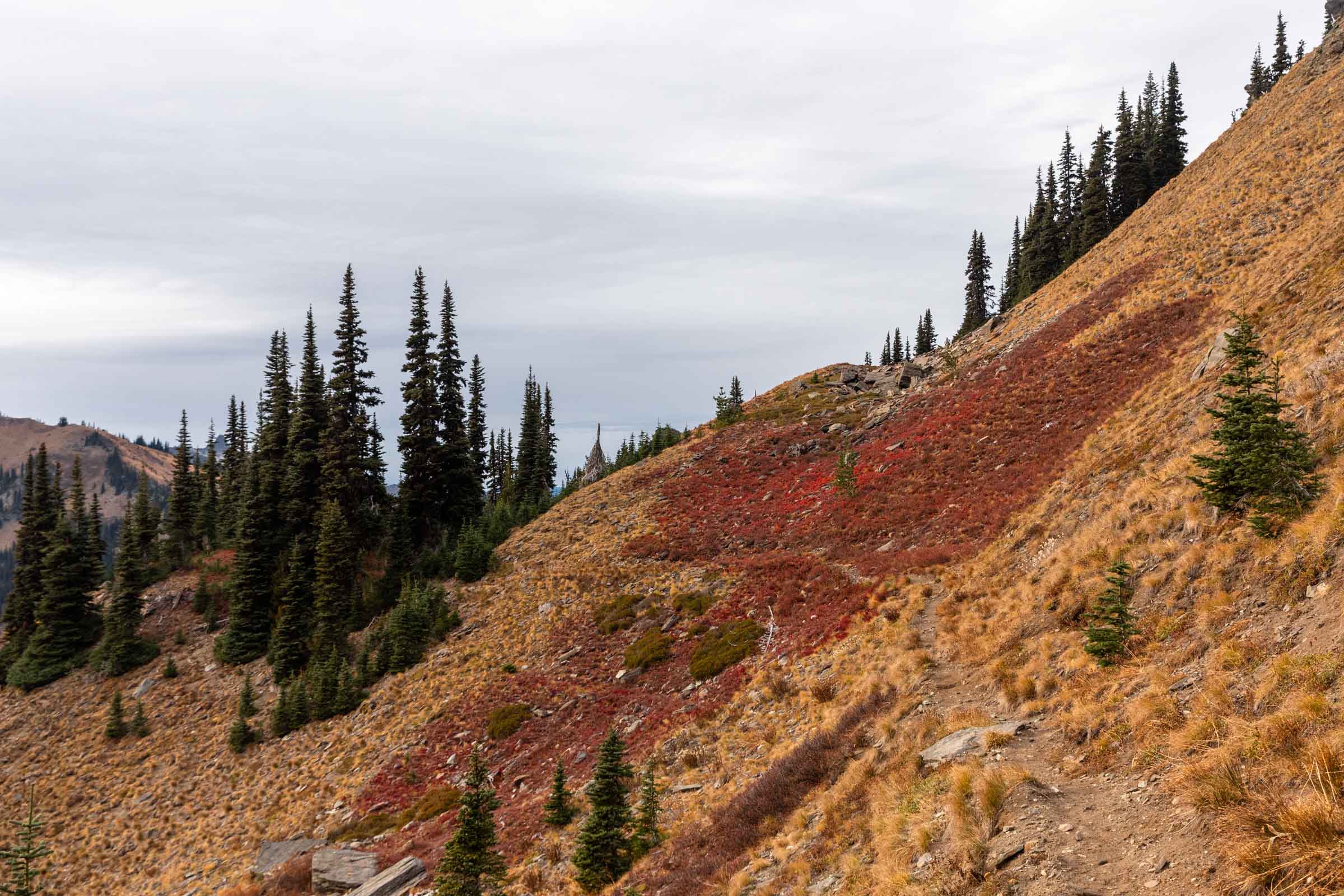
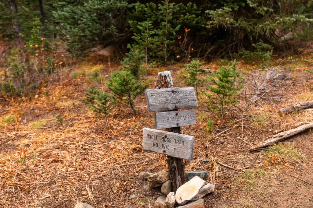
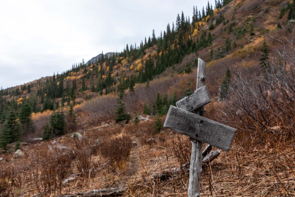
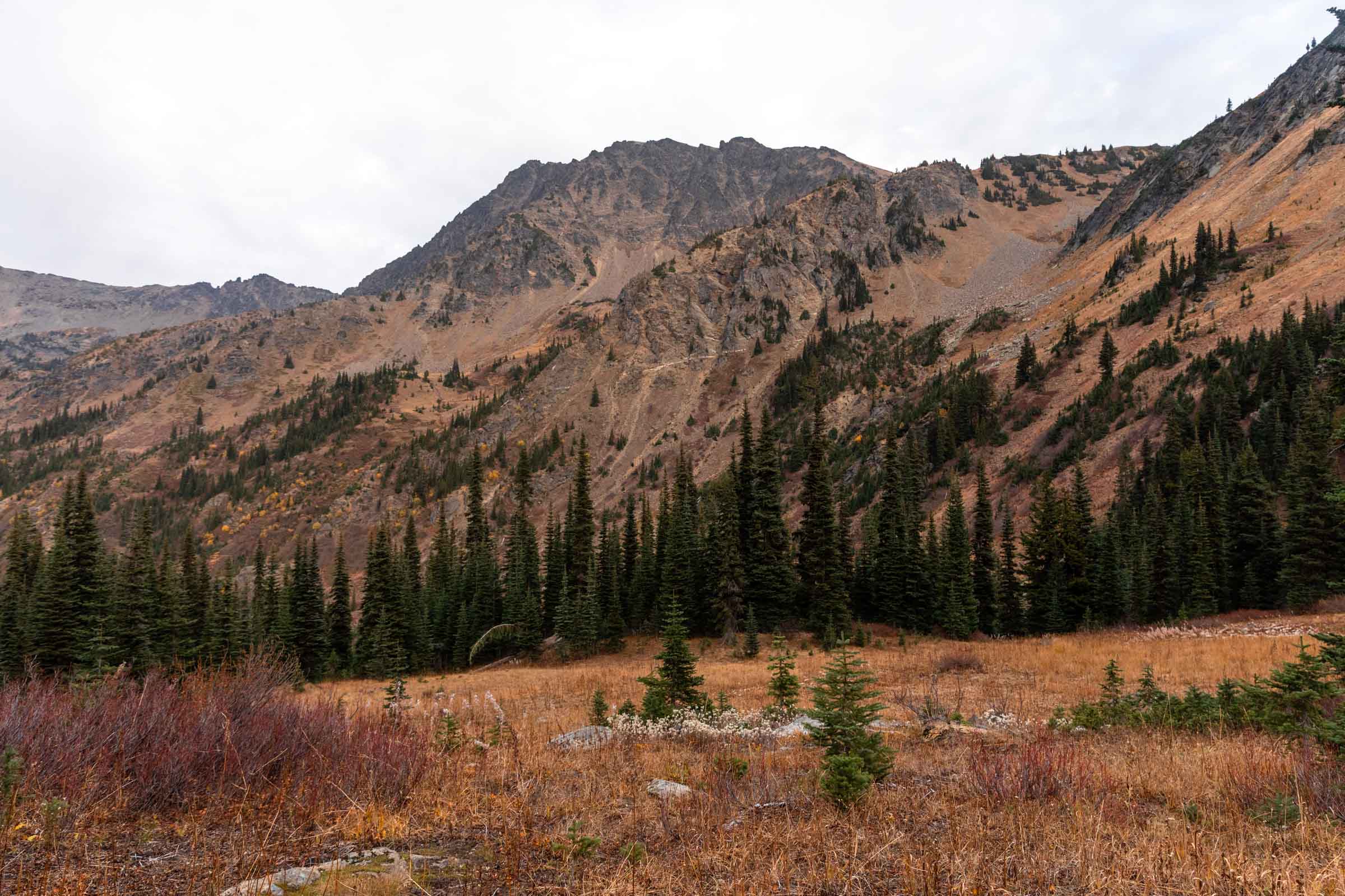
Soon enough we found ourselves back on the Icicle Ridge trail, very close to Lake Mary. Were we to tack on Snowgrass Mountain, it would’ve added nearly 1200 ft gain and the sun was about to set soon. I was glad that we had axed this peak from the list, sorry that my friend couldn’t make all the mountains. And to think that I had the audacity to suggest adding on Big Chiwaukum! One must know their limits!
Here on trail, I miscalculated the length to hike out. I thought it would take 6 miles and only a few miles in did I realize it should have been 7 and my friend said 9 and it turned out to be a whooping 10 miles to the car! There isn’t much to describe but the trail is good and there were lots of little turnoffs that made the trail pass by a bit faster. By the time we merged with White Pine Creek Trail, we were hiking by headlamp and I actually missed the intersection, but managed to have picked the right direction. Downhill, that is. The trail was so lovely with the freshly fallen yellow leaves and while I wanted to run back to the trailhead, the trail wasn’t steep enough to make jogging more effortless, so fast walk it was. We actually got back to the car at a reasonable time, though in late October, daylight is already less than 11 hours so it felt much later. Thankfully Leavenworth was on the way back for the car shuttle and it was a most welcomed detour to refill our stomachs. Tummy full, hearts full, legs tired. 3 peaks down and 20 miles over. When are we doing this again?
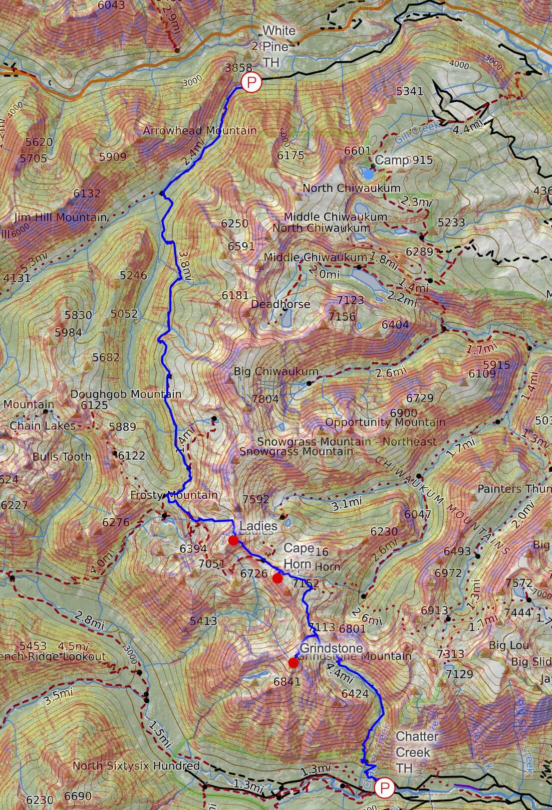


Notes
- To complete the traverse, park one car at White Pine TH and another at Chatter Creek TH. It is about 45 minutes between the trailheads and doable for low-clearance cars. We started from Chatter Creek, but if you want a more gentle uphill and “steeper” downhill, start from the north side at White Pine.
- If excluding the 3 peaks to scramble, you save about 2 miles and 2000 ft of gain (total of 18 miles and 5800 ft gain), making it much more similar to the stats for the Enchantments
- To add on some peaks, consider Snowgrass and Big Chiwaukum. We were not able to add on either since the 3 peaks and the trail itself took us 13 hours and a moderate pace.
- This would work great as a backpacking trip. For 1 night, consider staying in the middle at Upper Florence Lake or Lake Mary. For 2 nights, willing to move camp, consider camping at Lake Edna and Lake Grace.
Photos taken on Canon 5D Mark IV

You May Also Like

very nearly enchantments | lake ingalls backpack

sunlight and lakes | tuck and robin lakes overnight