above the clouds | mt townsend backpacking
7 miles . 2200 ft gain . 6260 ft high
Buckhorn Wilderness
I have spent only 2% of my trips in the Olympic Peninsula. Seriously. I did the math — about 10 trips specifically in the Olympic National Park or Olympic National Forest for 470 Washington trips that I’ve tracked so far. That’s a bit sad considering the Olympic Peninsula accounts for 5% of the whole Washington State. Additionally the Olympic National Park and Forest accounts for nearly 13% of all federal land in Washington. I really should be exploring it more. Which brings us to Mt Townsend.
In general, there are seemingly longer trails in the Olympic Peninsula vs the Cascade Mountains. Like you really have to hike far to get anywhere interesting. Or so it seems.
But in reality, the east side of the Olympics have plenty of approachable hikes and Mt Townsend is one of them. Unlike some of my other trip reports that are more story-telling this one will be more of a guide as it is more straightforward (no emotional breakdowns).
Approach
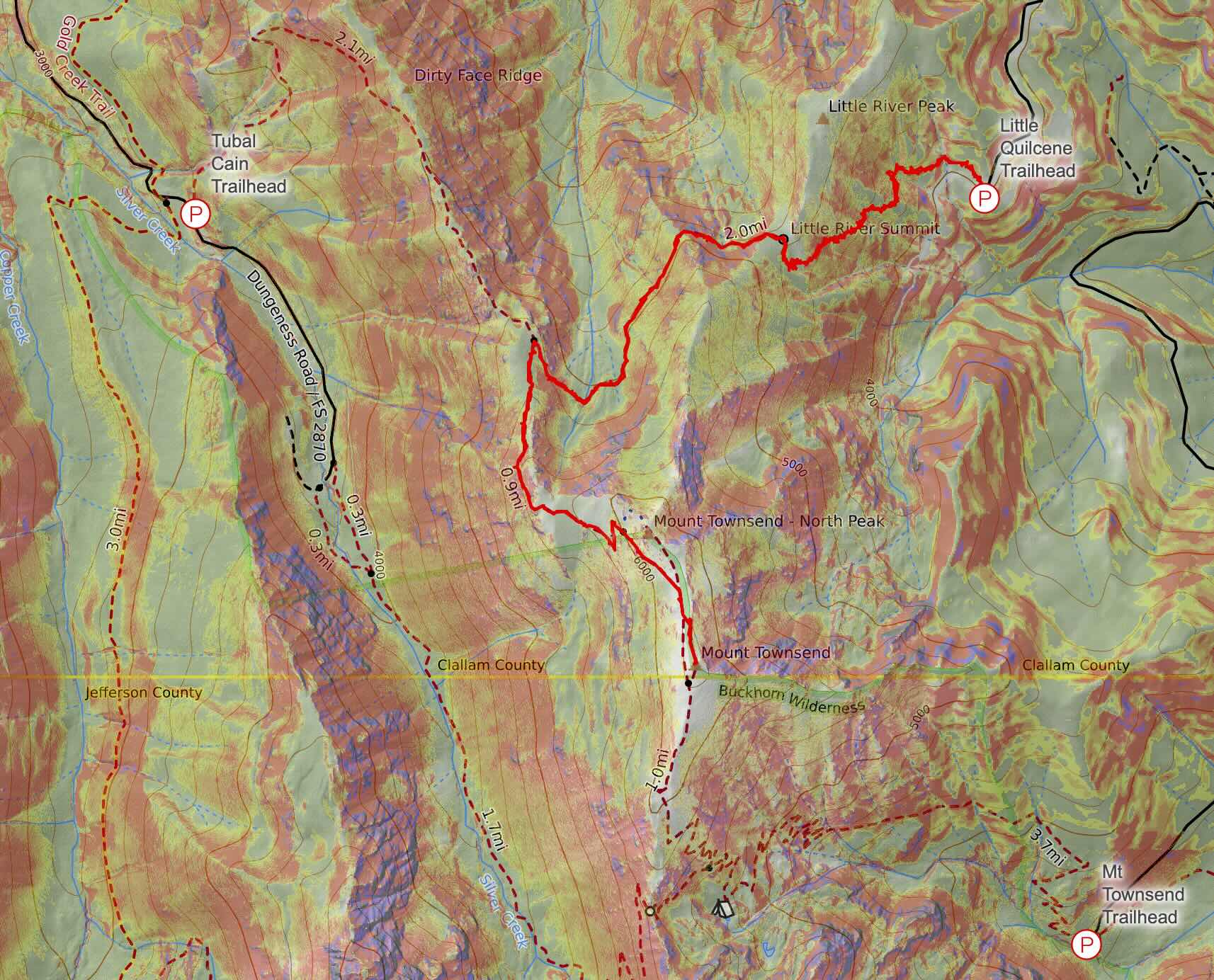
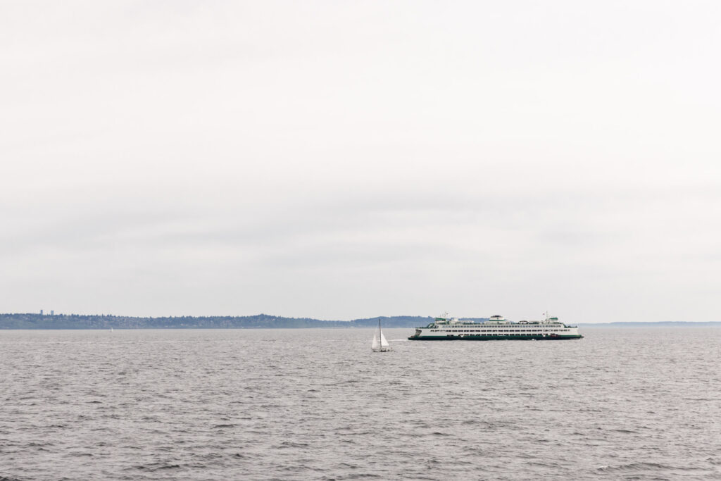
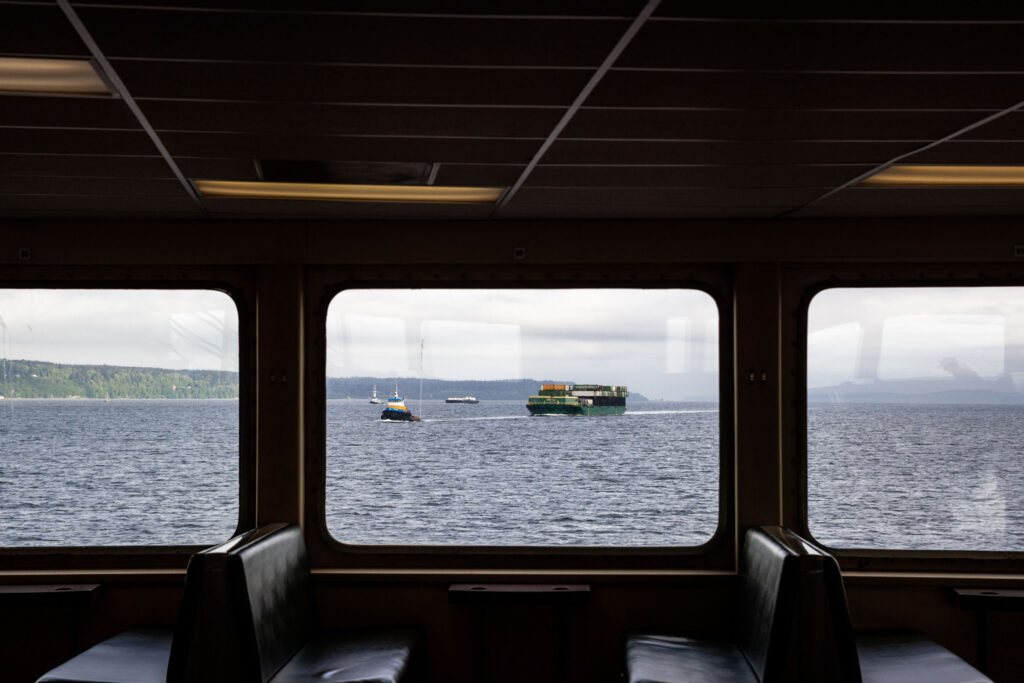
There are 3 ways to get to Mount Townsend. All start on National Forest land (NW forest pass). If you’re coming from Seattle, you’ll likely take the Edmonds-Kingston ferry or drive around the Puget Sound through the Tacoma Narrows Bridge. Here is the run down:
- Little Quilcene Trailhead
- 7 miles and 2200 ft gain
- First third is steepest, then a relatively flat traverse before a consistent grade to the summit
- 1.5 hrs from Kingston, 2 hrs from Tacoma
- Tubal Cain Trailhead
- 7 miles and 3000 ft gain
- Relatively consistent grade to the summit with the first half steeper than the second half where it connects with the Little Quilcene Trail and the Dirty Face Ridge
- 2 hrs from Kingston, 3 hrs from Tacoma
- Mount Townsend Trailhead (Upper)
- 7.5 miles and 3000 ft gain
- Most consistent grade. Steepest in the middle before the 20+ switchbacks
- 1.5 hrs from Kingston, 2 hrs from Tacoma
- Bonus: Mount Townsend Trailhead (Lower)
- 8.5 miles and 3500 ft gain
- Adds a mile and 500 ft to the upper trailhead.
- 1.5 hrs from Kingston, 2 hrs from Tacoma (marginally closer than the upper trailhead)
I took the Little Quilcene Trail since it was the shortest and easiest in terms of gain. Here’s what it was like to hike the Little Quilcene to Mount Townsend!
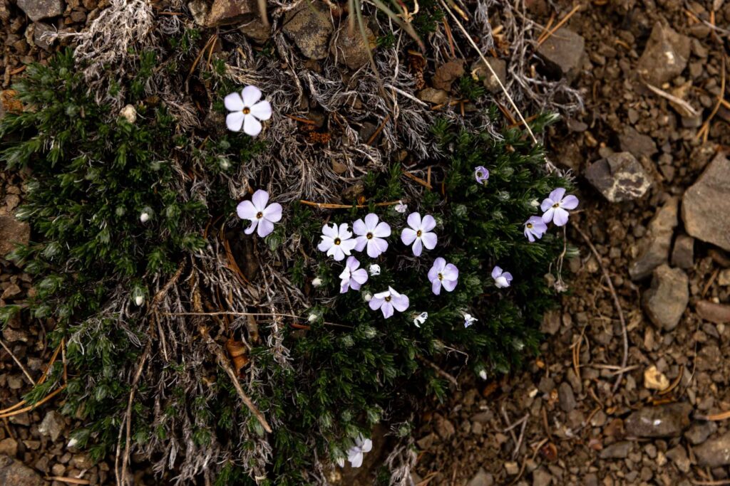
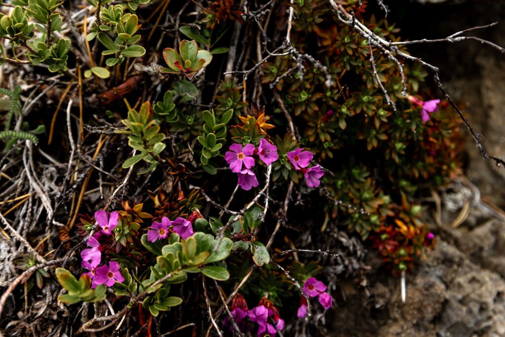
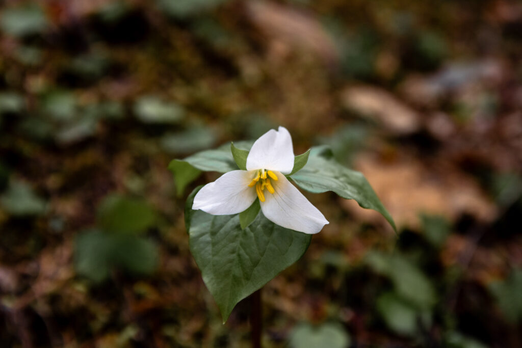
Little Quilcene Trail
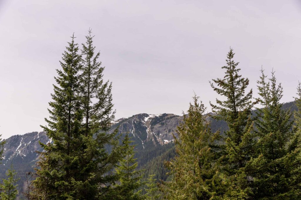
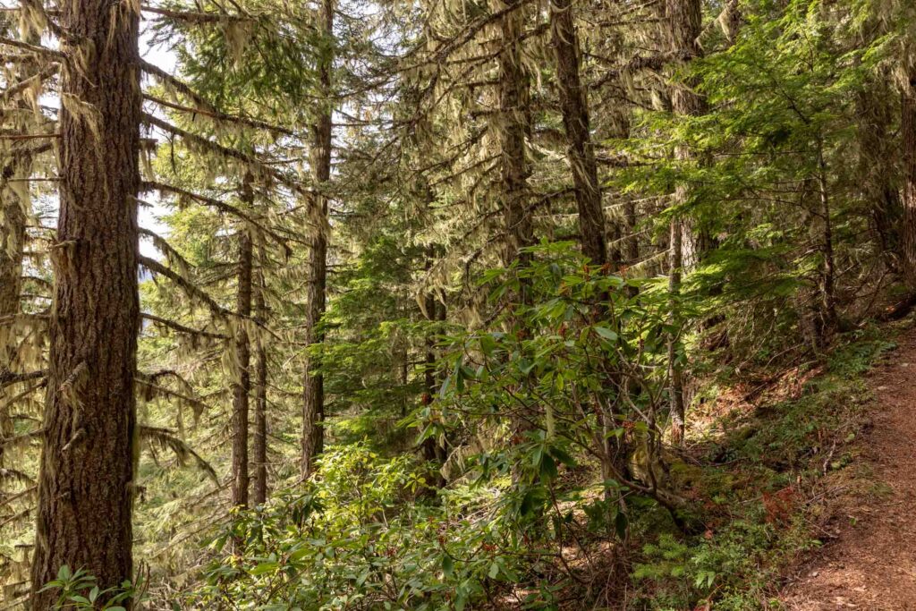
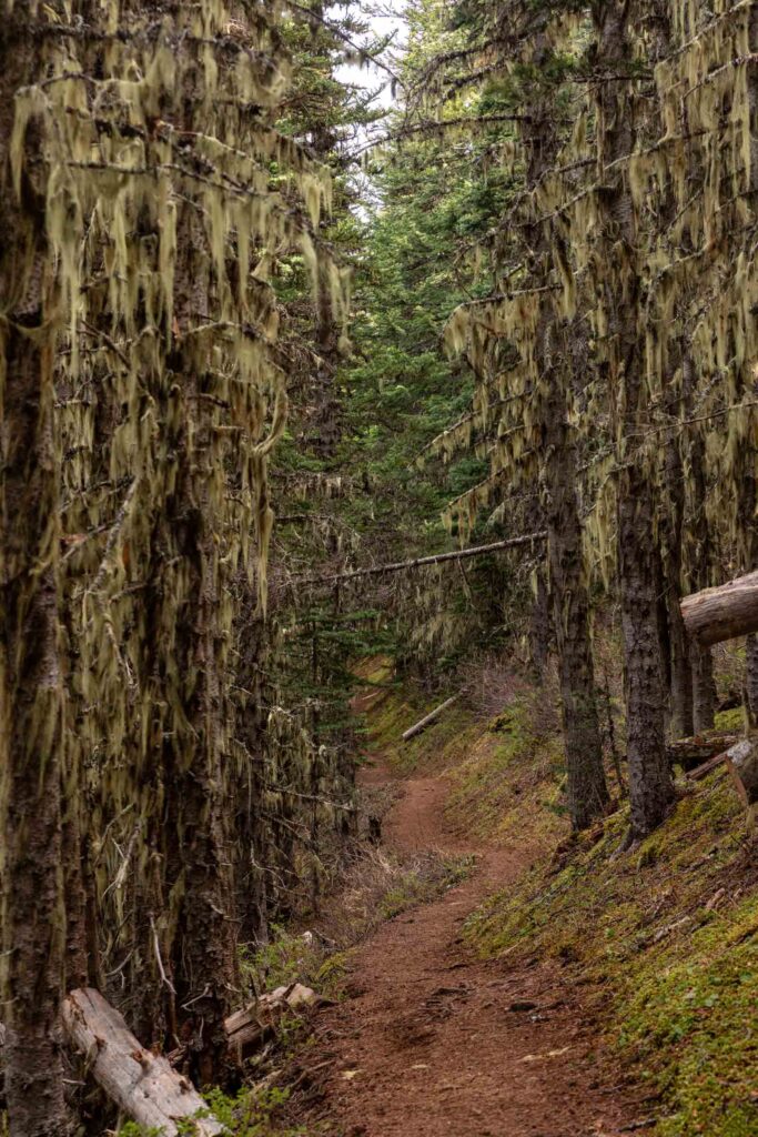
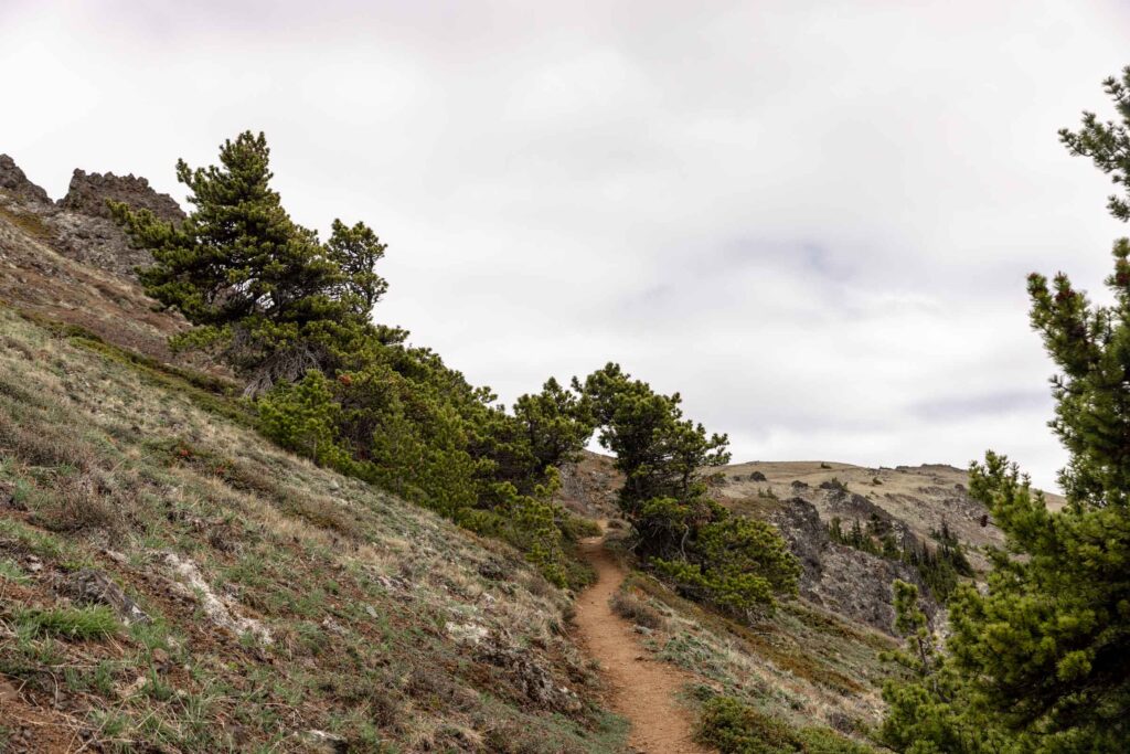
The Little Quilcene Trailhead starts out with views of the Mount Townsend summit and even overlooks the Puget Sound on a clear day. For the first 800 ft of gain and almost a mile, it gains rather on the steeper side, but not atypical of many Washington trails. You wander through an old growth forest with rhododendron bushes in the lower half. I believe some of them do bloom later in the year, but not all the bushes. One day I’m determined to see wild rhododendrons in bloom! After all, they are the Washington state flower.
At this point, there isn’t a whole lot of views despite being on a ridge since there are many tall trees in the way. This is called the Little River Summit, which is definitely a misnomer since it is a saddle point, not a summit. This is a great spot to have a snack break and sit on the fallen logs.
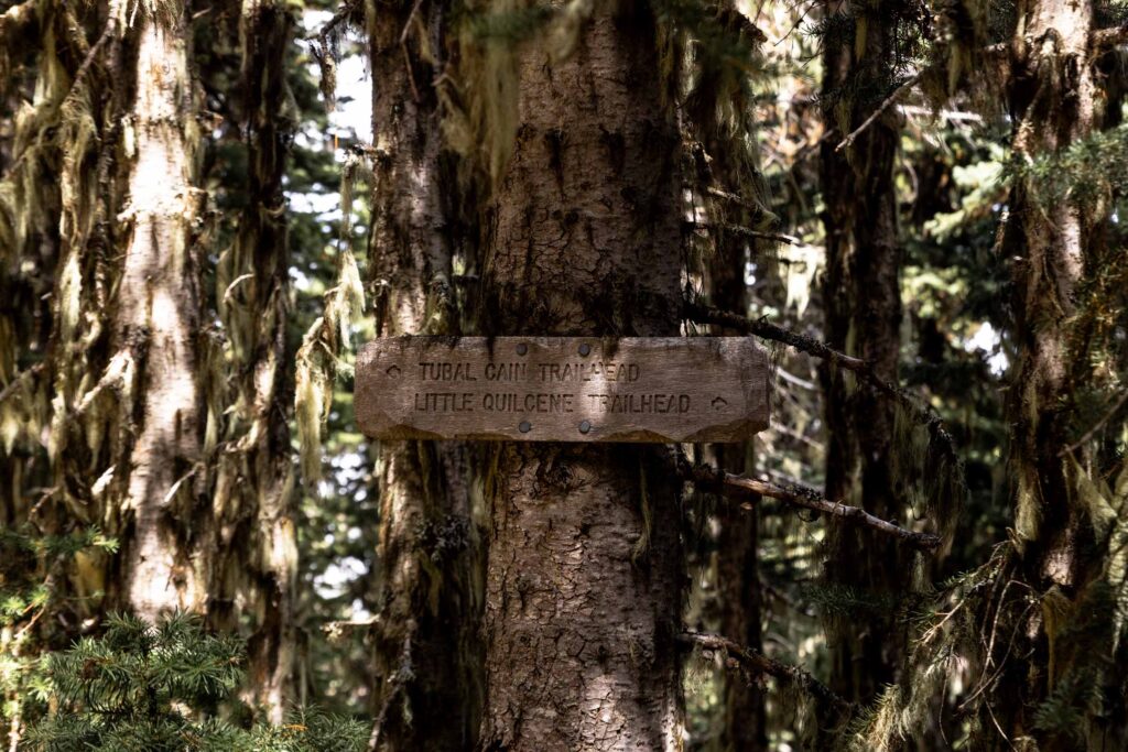
The trail continues on a mellow traverse that gains rather mildly for almost a mile. The last section of the traverse (I’d imagine this to be difficult if snow covered) gains steeply again before reaching the Tubal Cain trail. Technically the Tubal Cain trail is also called the Little Quilcene Trail (#835) and just connects the two trailheads. But for purposes of this trip, I’m referring the direction to the Tubal Cain trailhead as the Tubal Cain trail.
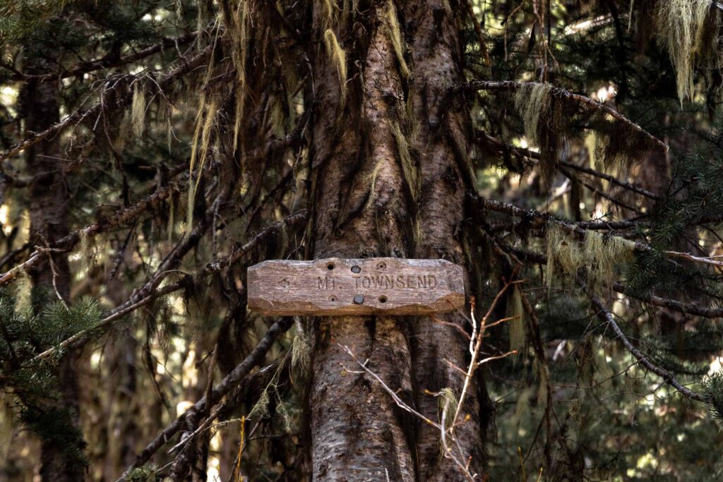
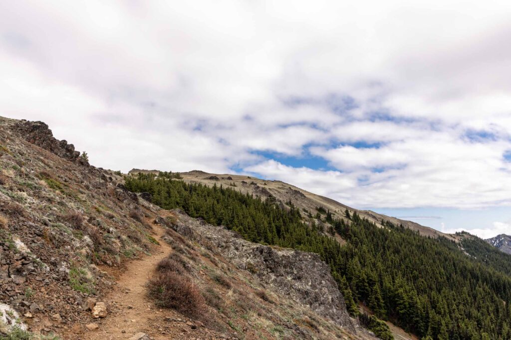
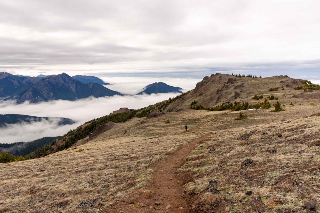
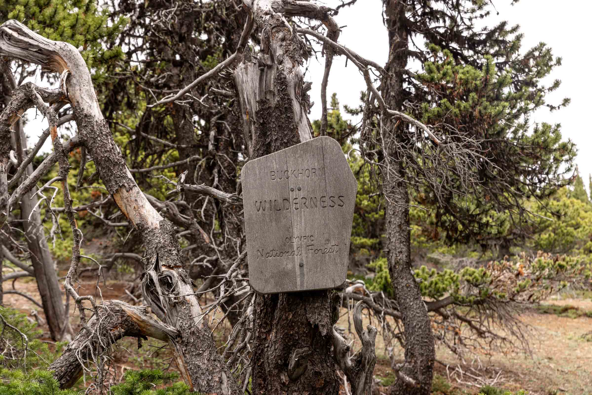
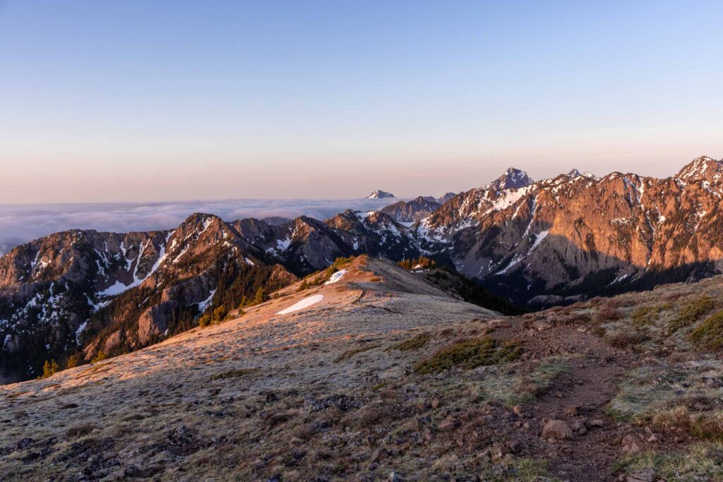
Turning left, you merge onto the official Mount Townsend Trail (#839) and walk along the west side of the ridge. Very quickly, you’ll start to get views into the Olympic Mountains and some towards the Straight of Juan de Fuca. Buckhorn will be in the distance as you enter the aptly named Buckhorn Wilderness. This is rather a gentle climb for about half a mile.
The last mile will have you climb steeper again, but at least you can see more views and whether or not you like it, your destination as well. Sometimes seeing your end point can be tough when it doesn’t seem like it gets closer. Towards the end, you’ll have some options to head up to the Mount Townsend North Peak or true summit to the south. I actually skipped the North Peak entirely since we didn’t have great views to the north.
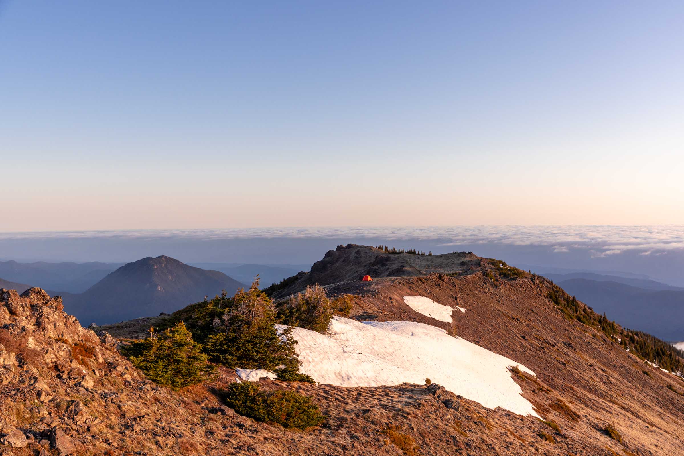
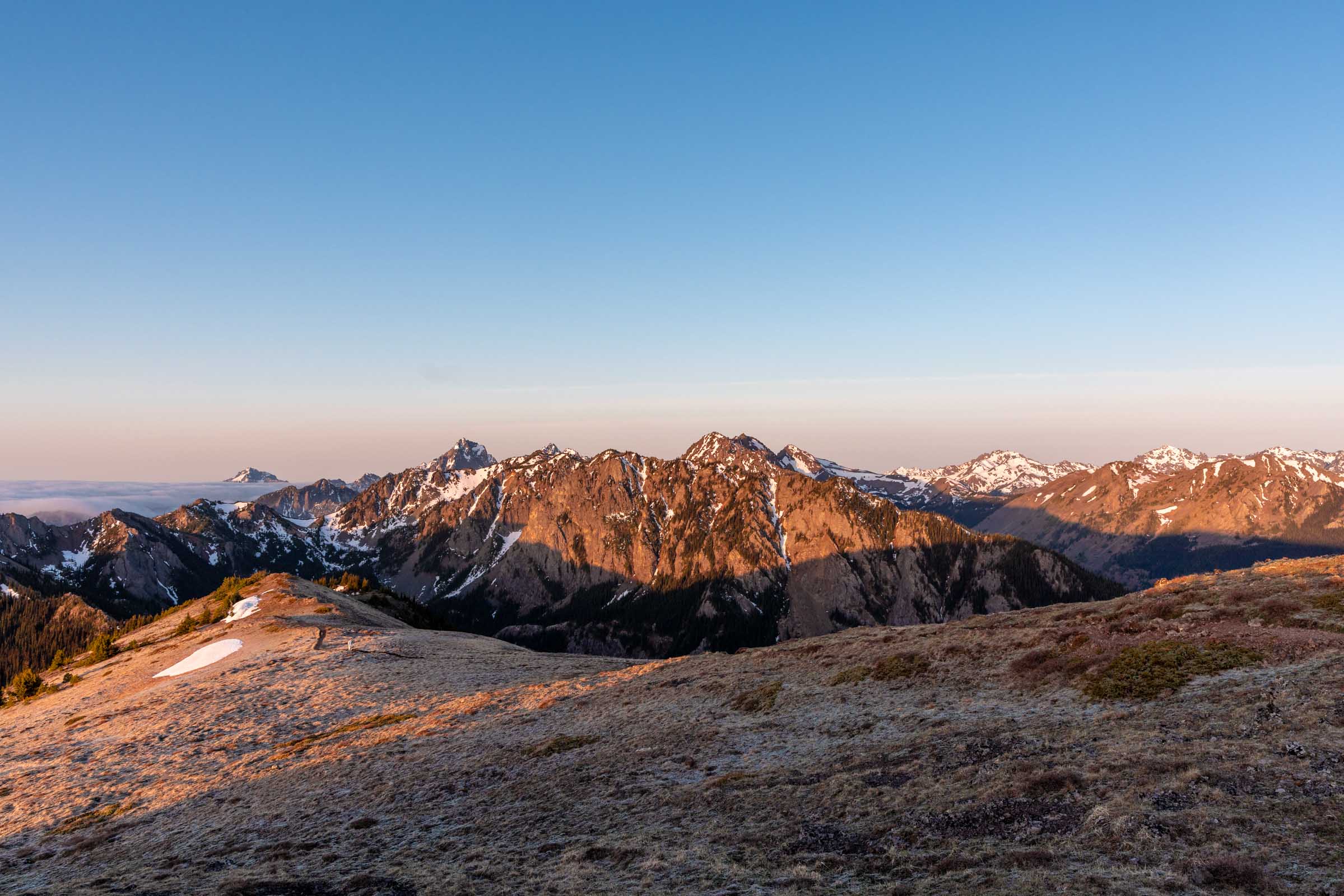
Camping at Mount Townsend
This is always tricky to talk about. I don’t want to blow up locations, yet I want to help educate and raise awareness about how we can still enjoy the outdoors while being being the best stewards of this beautiful land. So please, do your research beyond this blog and follow Leave No Trace principles and most importantly be respectful to the land, people, and wildlife.
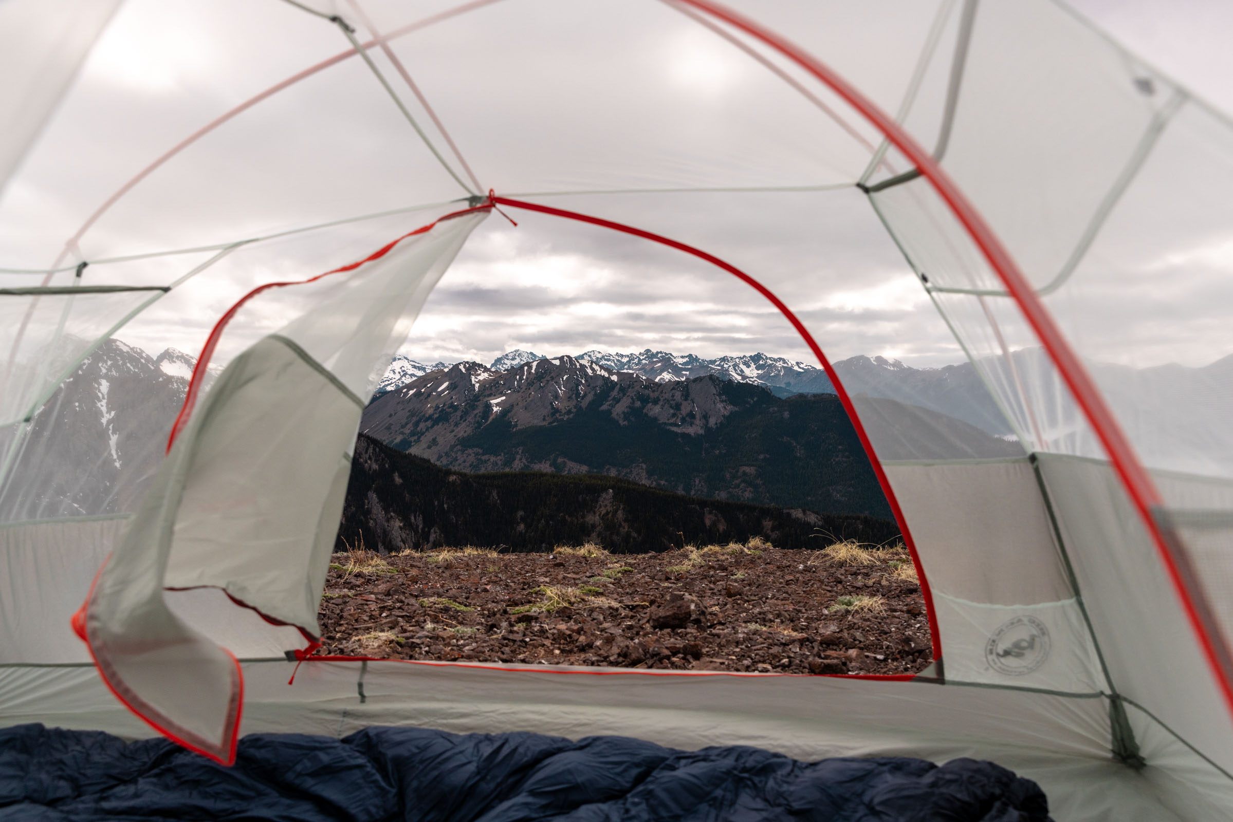
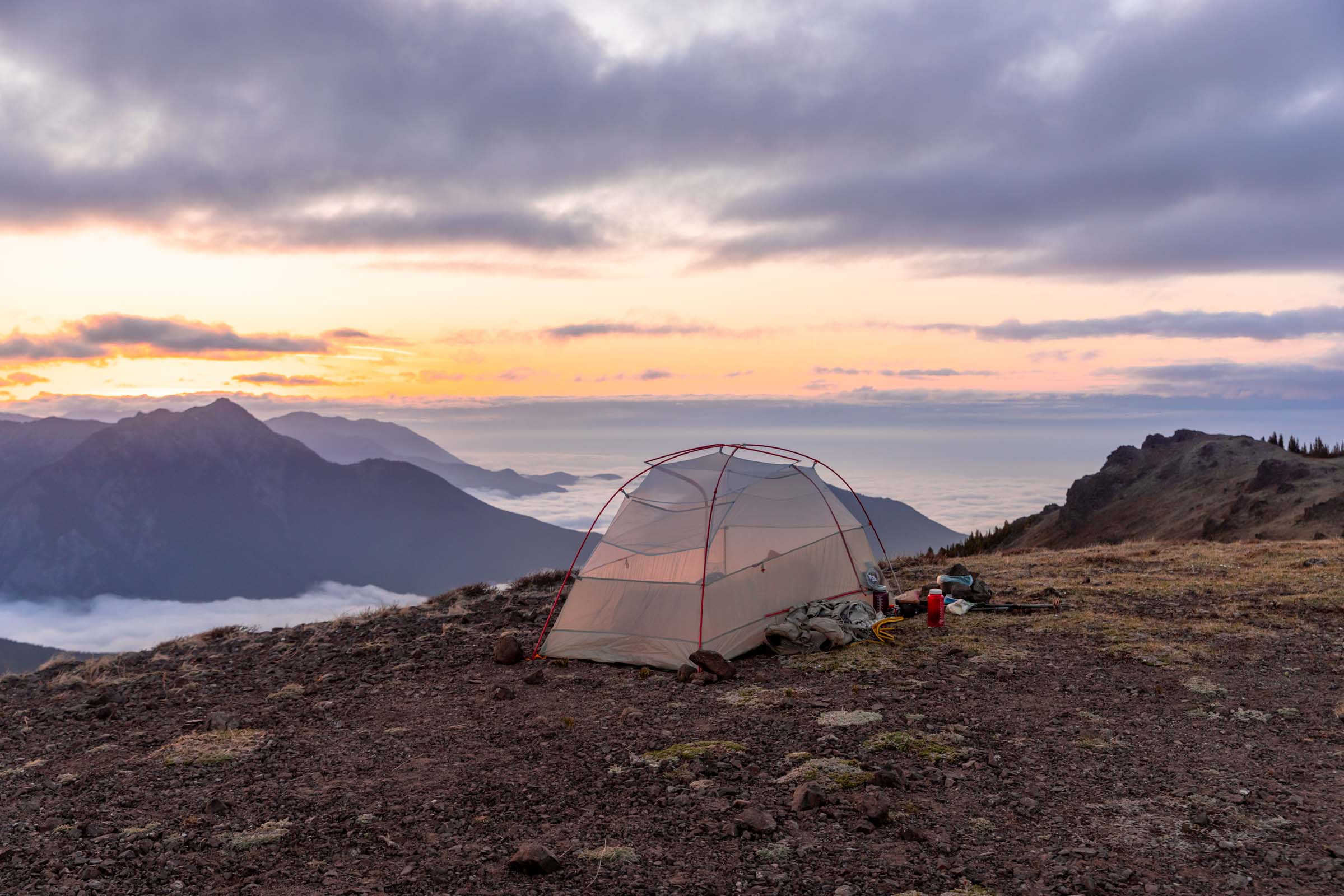
You might have seen people post about camping along the ridge of Mount Townsend. This is tough because there are limited spots that are not well built-out. I took the spot that was the least vegetated, but there were still a couple spots of mossy and ground cover. Absolutely do not set up camp on full vegetation on a trail as busy as this. The spot north of the true Mount Townsend peak is the biggest and closest spot to the peak (thanks to @photosby.tiff for reassuring me of campsite spots). I could see a couple other created spots that people have previously used but many are mediocre. I suggest you walk along the ridge to find the best spot for you and your party, following pre-existing trails and sites.
Campfires are not allowed in the Buckhorn Wilderness. Water can be scarce on the summit. In the spring/early summer, there might be some snow that you can gather and boil but otherwise, there is no water source except further lower down the ridges and by Camp Windy. If you are unsure of where to camp, I suggest camping at Camp Windy and arriving via the Mount Townsend Trailhead so that you are in a well established campsite with running water.
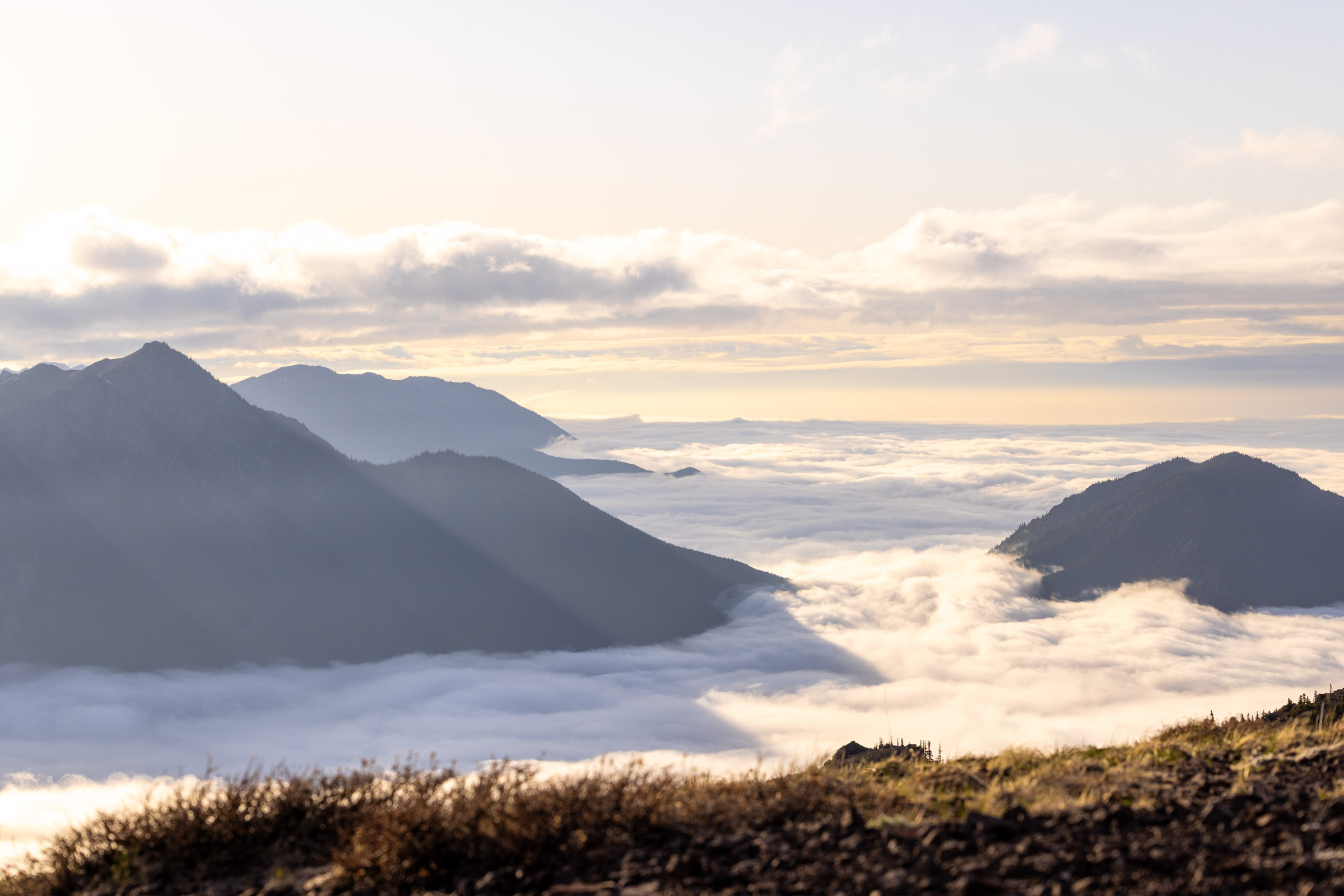
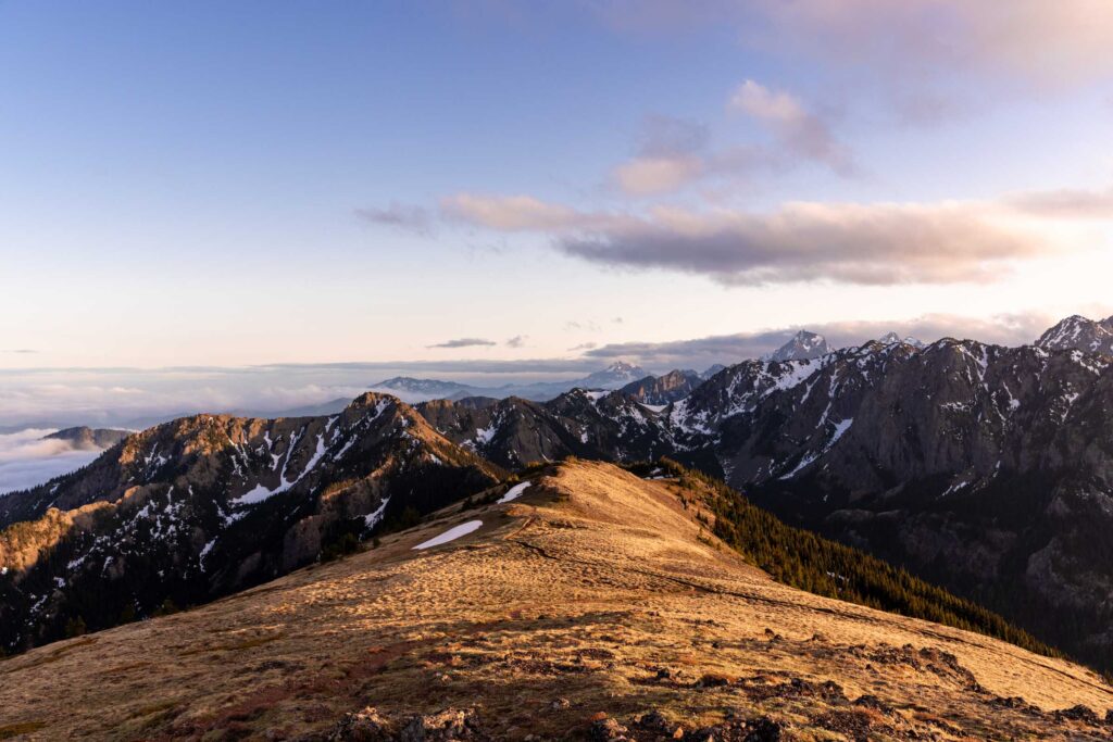
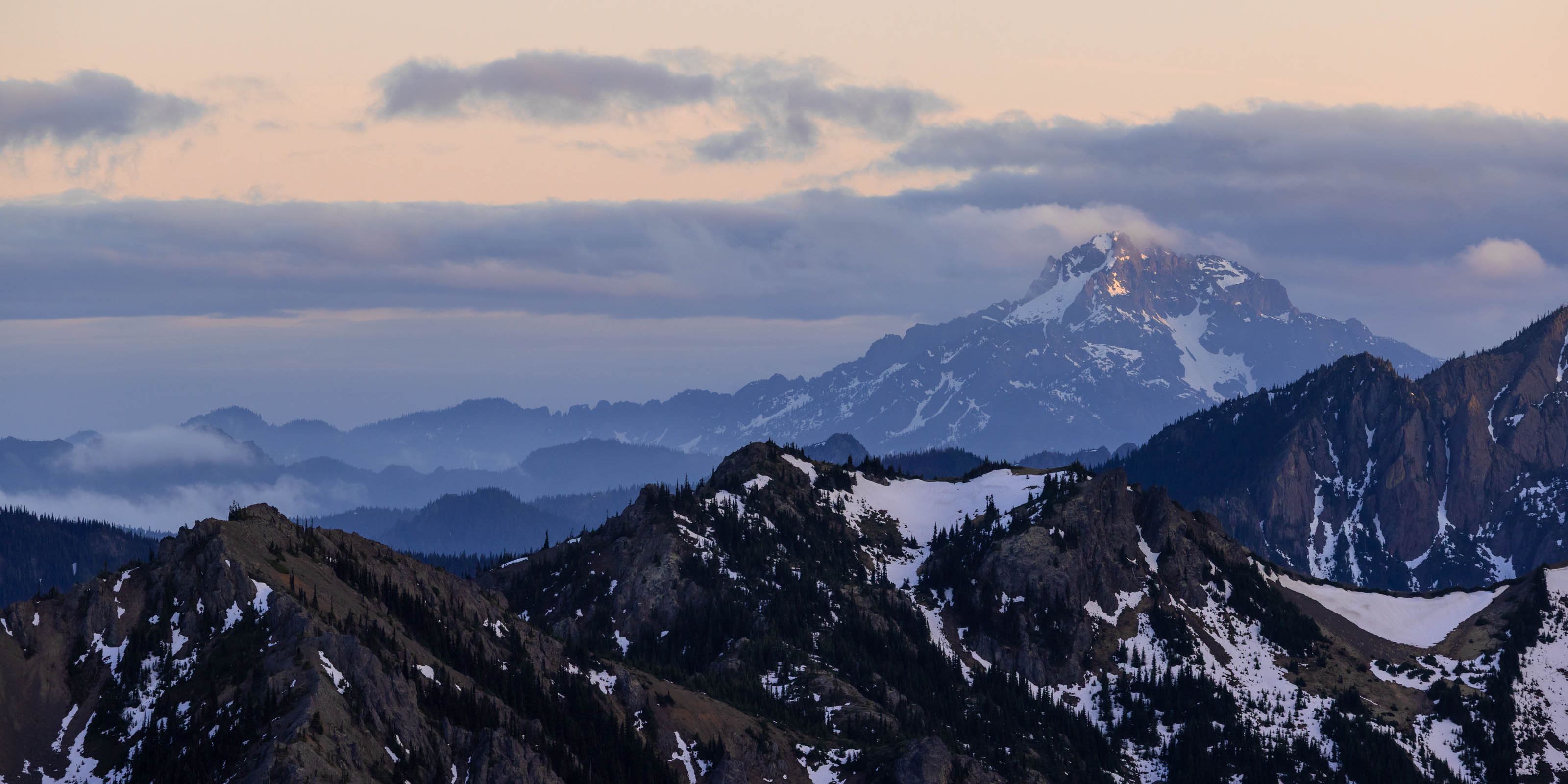
Sunrise/Sunset on Mount Townsend
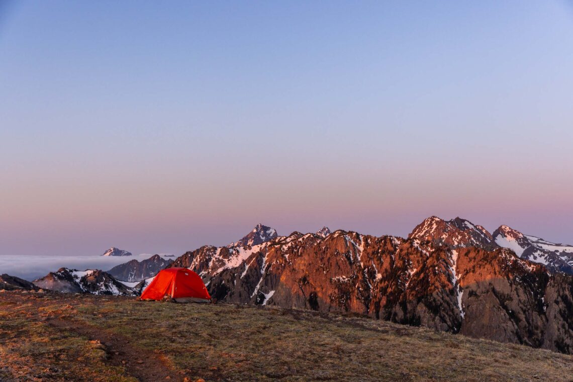
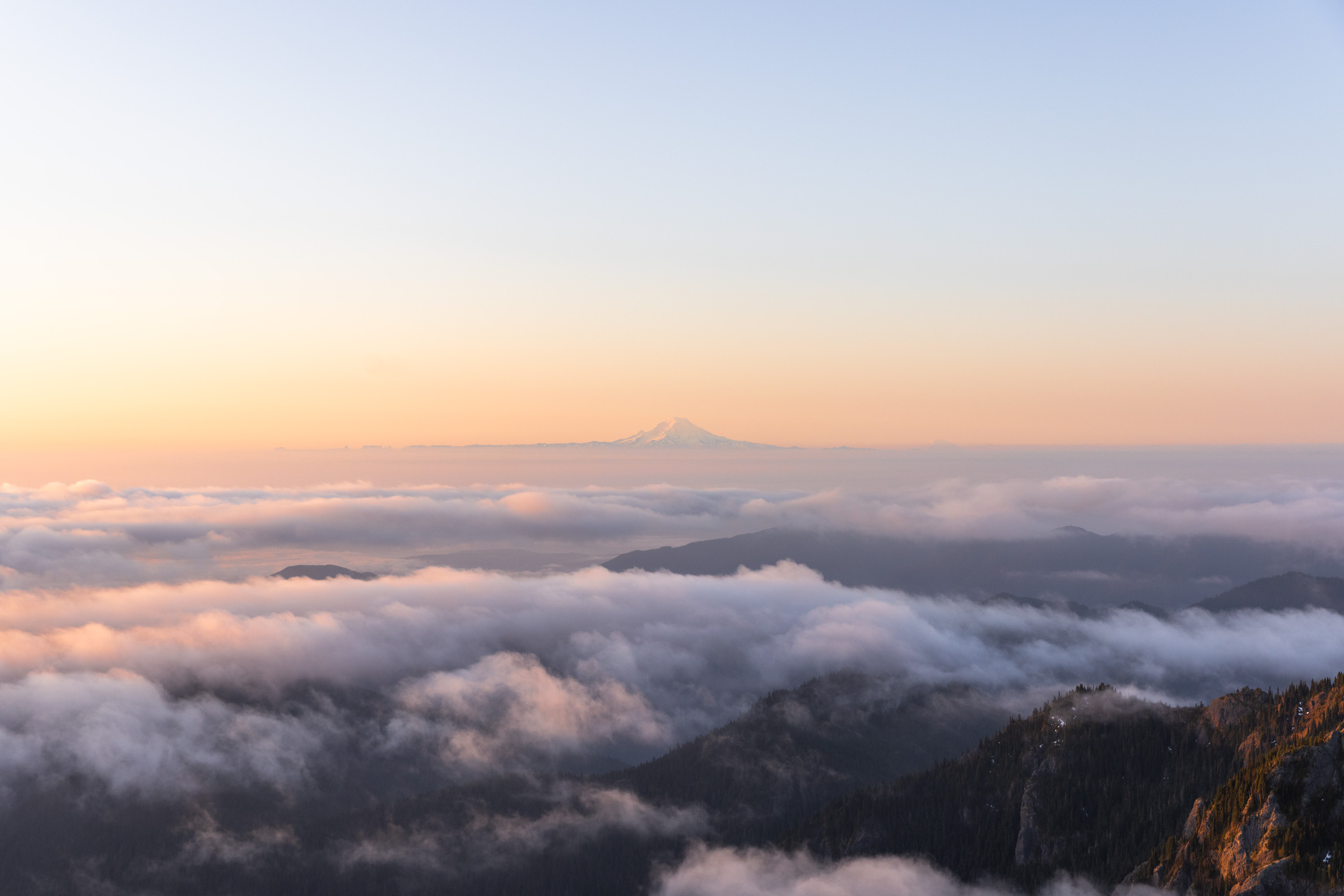
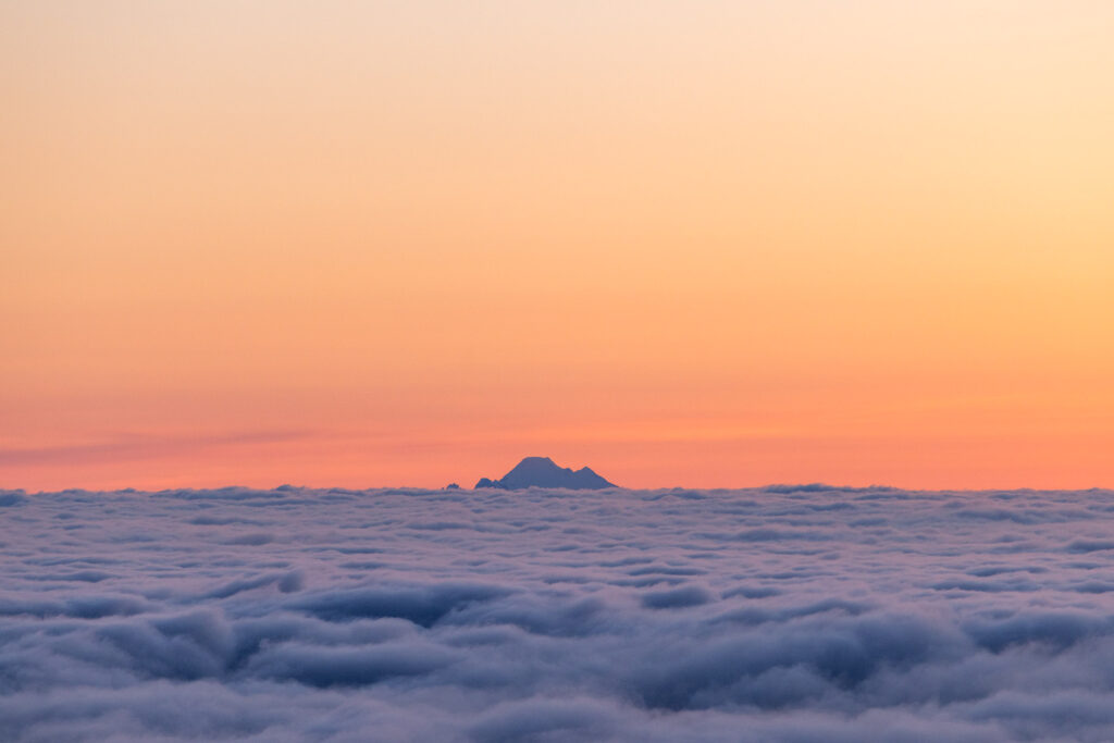
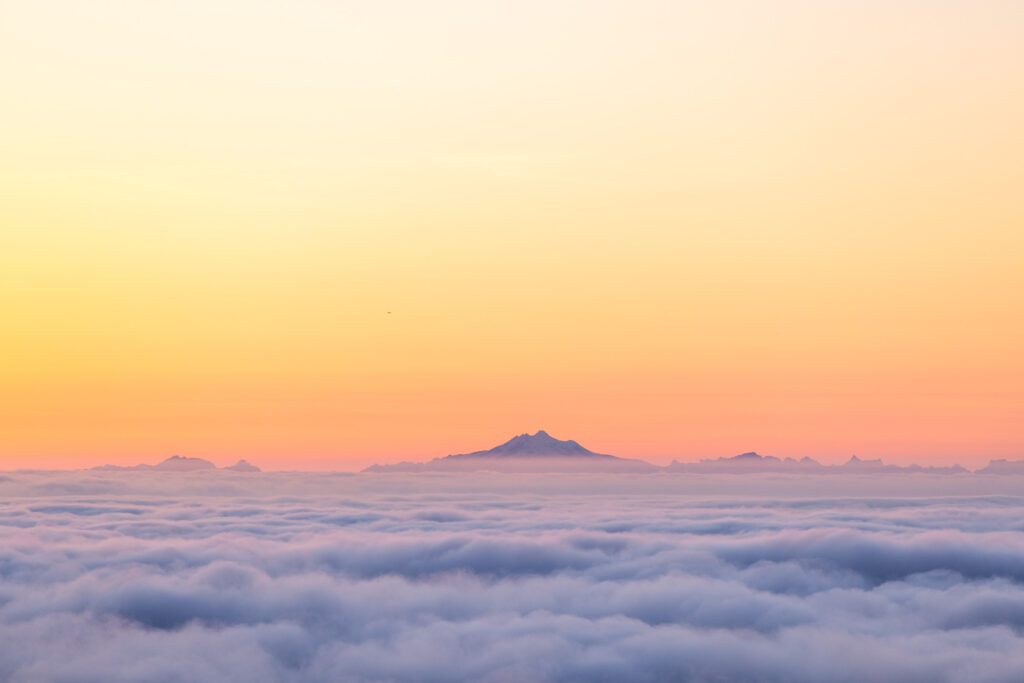
Whether or not you backpack here, you can still watch sunrise or sunset! There were actually quite a few people for sunrise in the morning, kudos to them for waking up early and hiking all the way up when I could just roll out of bed.
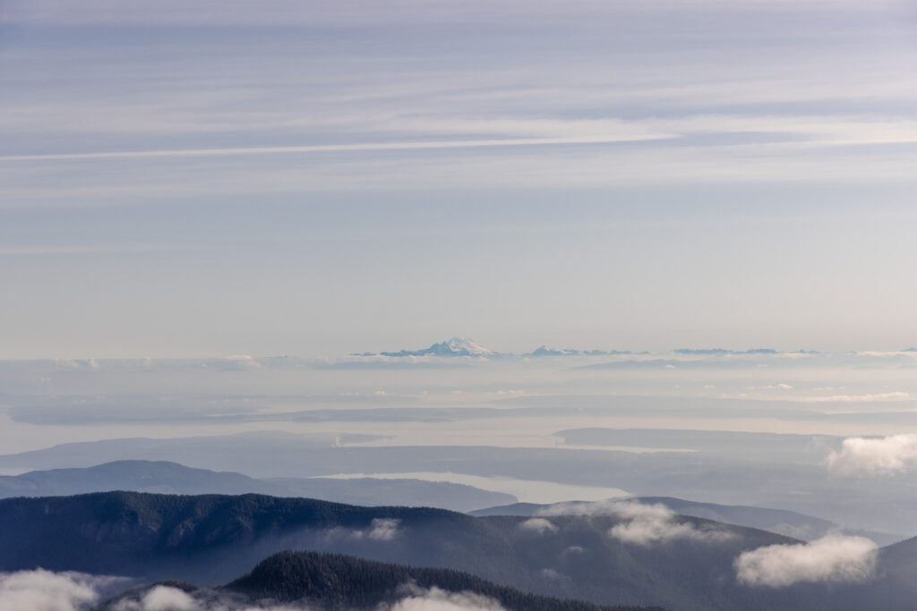
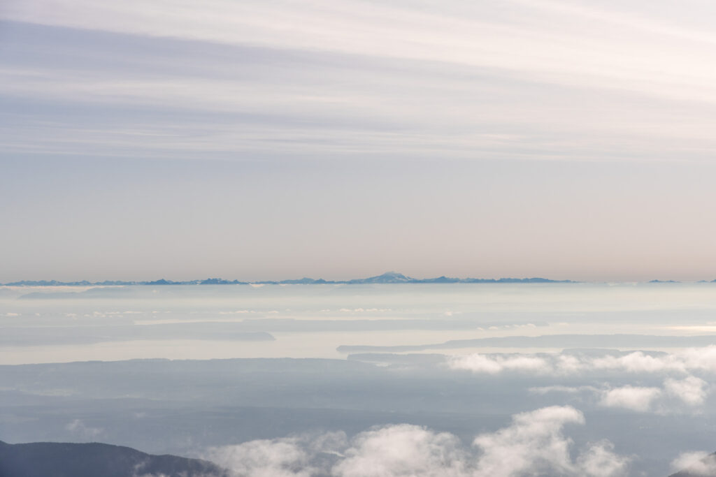
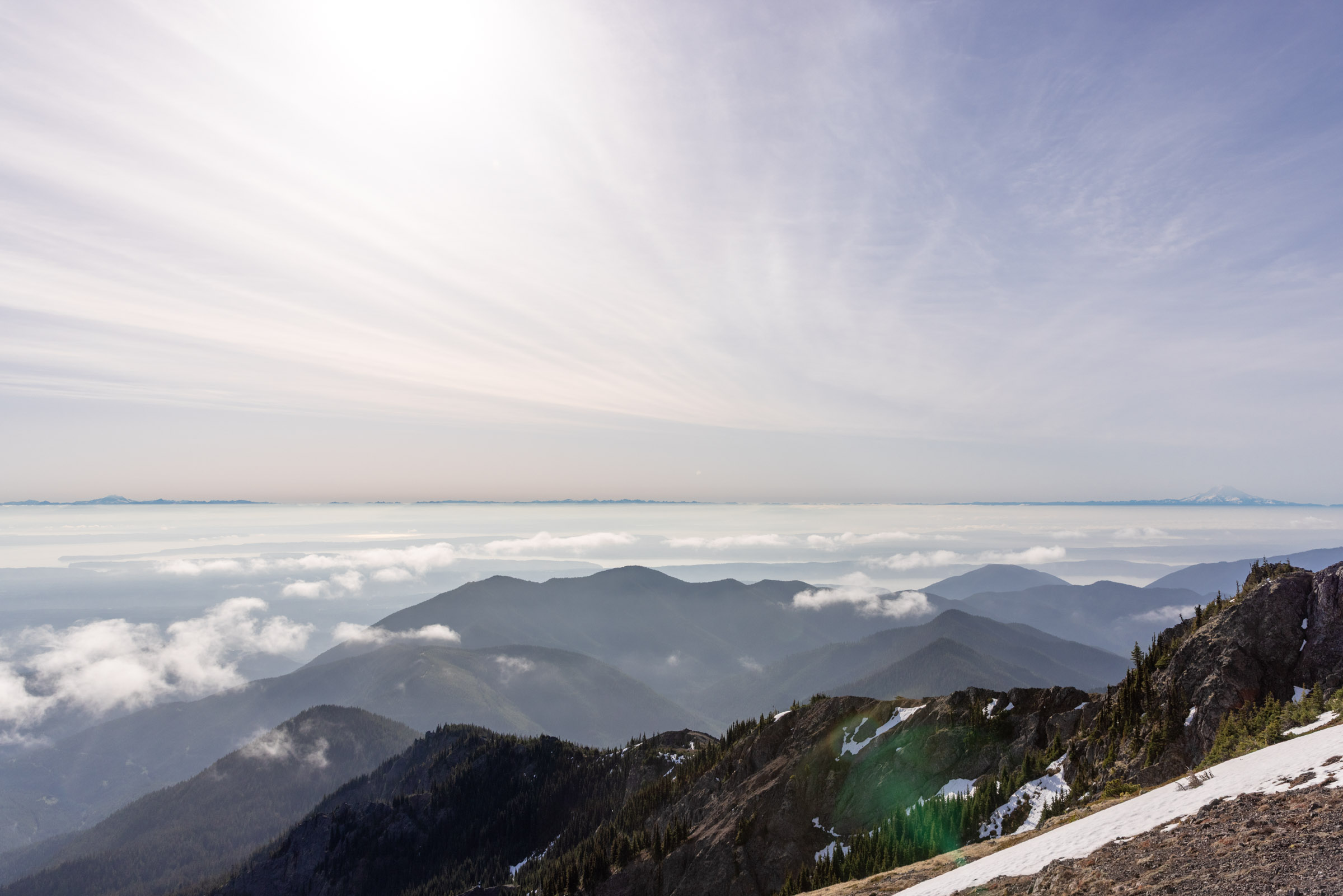
The cool part about some of these eastern Olympic hikes is that on a clear day, you can see both the Puget Sound and the Olympic Mountains. Truly best of both worlds (though my heart will always lie with the Cascade Mountains). The Cascade Mountains are just a bit further from the Puget Sound than the Olympics are.
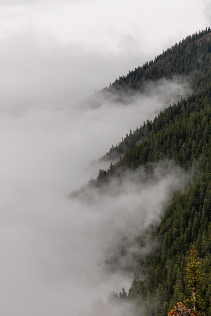
Depending on the time of year, the sun will rise and set at different angles, casting different alpenglow light on the mountains. This particular sunset, we had a thick marine layer, so it was not as pastel as I had hoped for. The next morning, we got a much more interesting condition with some marine layer that would burn off. Plus I got to see all 5 Washington volcanoes! That was so fun to see!
I hope this helps you with your trip to Mount Townsend. Happy hiking!
P.S. No notes like I normally have since all the essential details are in the bulk of the blog.
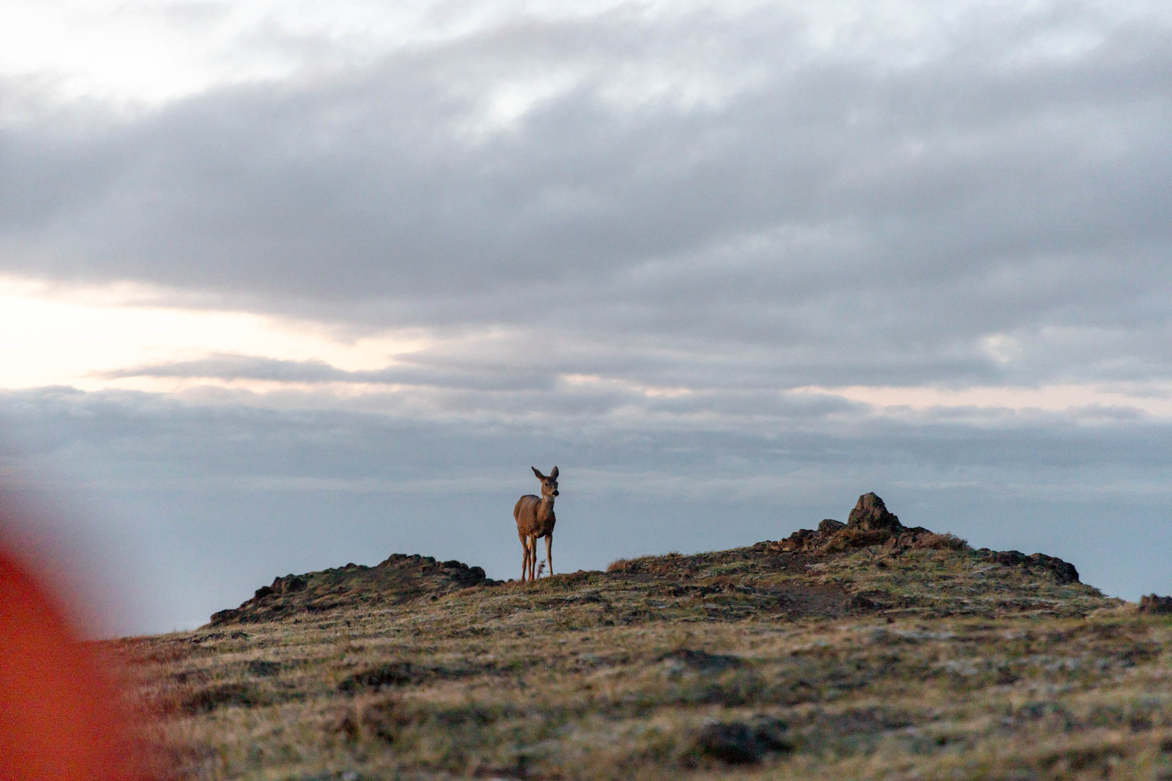
Photos taken on Canon EOS R5


You May Also Like
teanaway spring fling | navaho pass ski tour
green envy | green mountain ski tour