return to shuksan | sulfide glacier ski tour
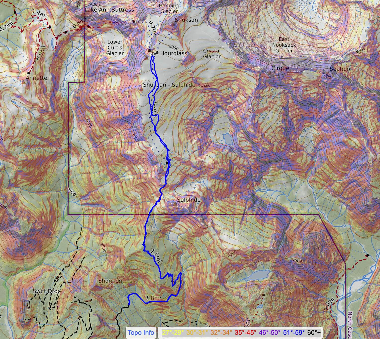
13 miles . 5200 ft gain . 7744 ft high
North Cascades National Park, Steven Mather Wilderness
It’s been about 8 years since I last set foot on the flanks of Mt Shuksan. The last time I was in over my head about climbing the Fisher Chimneys route that starts from the Mt Baker Ski Resort area. Literally, this was my first blog I wrote on here!! Isn’t that crazy? Well this year, I wanted to ski the Sulfide Glacier, an easy way to approach Mt Shuksan.
After the poor 2025-2026 snow year for Washington, I was aching to ski more. Spring skiing usually provides if you’re willing to hike and have early alarms. So we set off to test this theory at the end of May, nearly 2 month since I last skied and honestly more like 3 months since the last significant ski tour when I was in Hokkaido. Maybe it says more about my travel schedule than anything, but I was excited when my friend wanted to ski for the long weekend!
Trailhead
10 minutes into driving from Seattle, I realized I forgot my poles (and my beacon and sunglasses). I would’ve had the worst time without poles, though technically none of these were absolute necessities. But we turned around anyway and I was also convinced to bring ski pants — I assumed leggings were sufficient.
It was a smooth drive with a quick Trader Joe’s snack pick up. We turned onto the bumpy forest road where Shannon Creek meets Baker Lake. Somehow to my surprise, there were about 8-10 cars at the trailhead. We inadvertently picked to park next to another car where someone was sleeping in it! We are sooooo sorry. Figured it was better than leaving awkward space for less efficient parking the next day.
There were actually quite a few people sleeping at the trailhead. I’m not entirely sure what the regulations are but I do believe technically you’re not allowed to camp at a trailhead, but I feel like there’s nothing stopping you if you need a quick nap before an alpine start and you’re packed up by dawn and out of the way for other people.
Unfortunately at the trailhead, we realized one of our bags was missing and forgotten back in Seattle. This meant one person had no other clothes except a rain jacket, no ski pants, no beacon, no skins. That was the rough part. And the no skins part was realized in the morning!! We were able to figure out a pants/warmth situation with a sleeping bag, but the no skins was pretty critical.
Alpine-ish Start
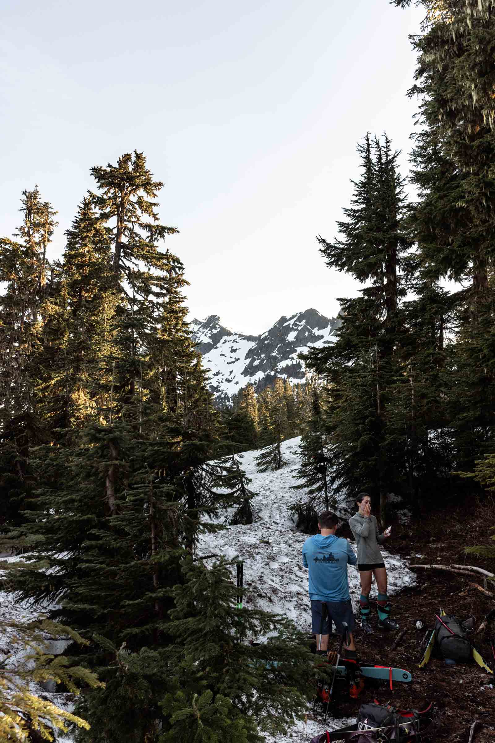
I could hardly call our start an alpine start. The other groups started moving 2:30am-3:30am but we decided to “sleep in” until 4am. Well 3:50am was my alarm. Somehow with all the shenanigans we didn’t end up on trail until 4:40am. Oops. So much for thinking I could get ready in 20 minutes! I guess we decided last minute to use a tent vs cowboy camping which took a bit more of a teardown.
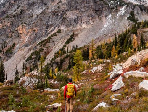
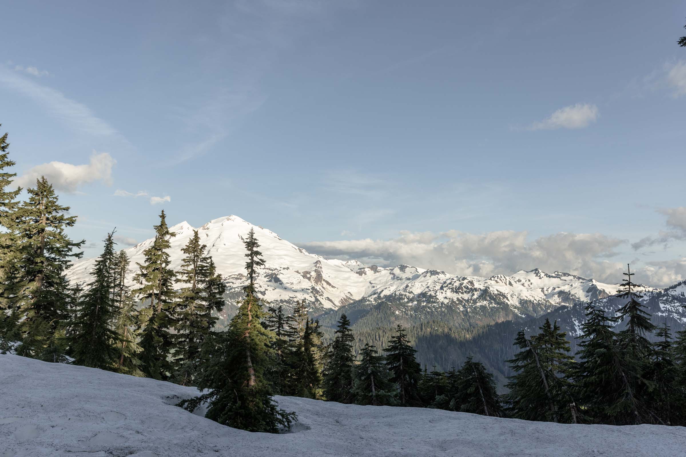
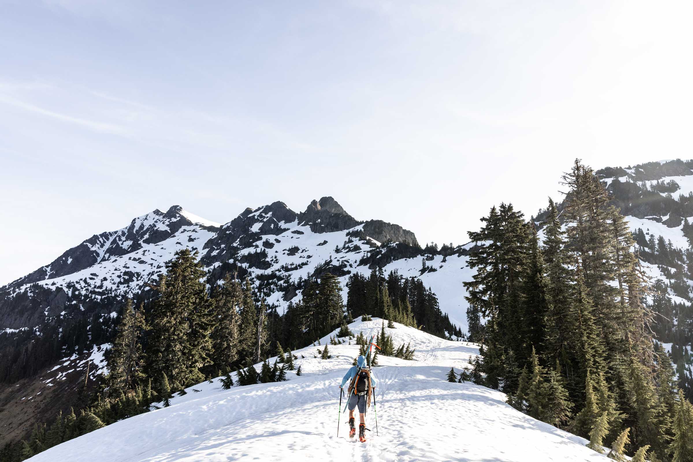
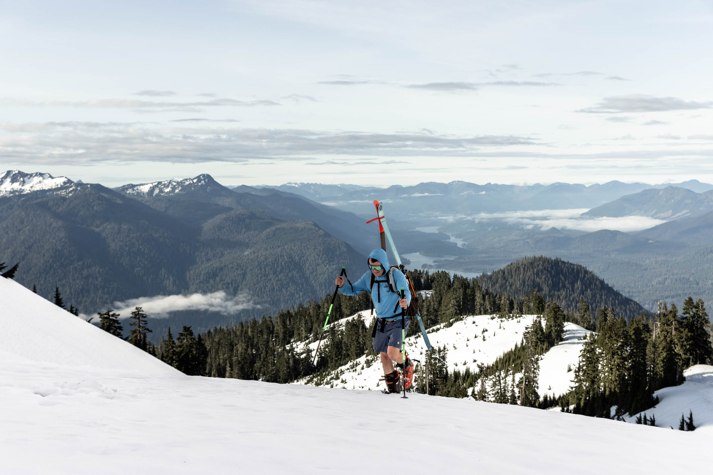
Carrying your skis and boots on your already stuffed climbing pack with alpine and glacier gear is no joke. I couldn’t believe that we wanted to climb Glacier Peak originally. That would’ve entailed a 3-day backpacking trip with so much more gear and longer approach on trail. Since it was relatively late season, the snow on the south slopes were melted out for a solid 2000 ft before we could transition to skis and boots.
I tried sooo hard not to get snow in my shoes to keep my socks dry since I was down to one pair for the day. Even booting with ski boots wasn’t enough to keep the snow out. So at the transition point, it was basically skinning on skis. The slope to the saddle point we had to cross over looked so intimidating from afar but was actually more doable than I realized.
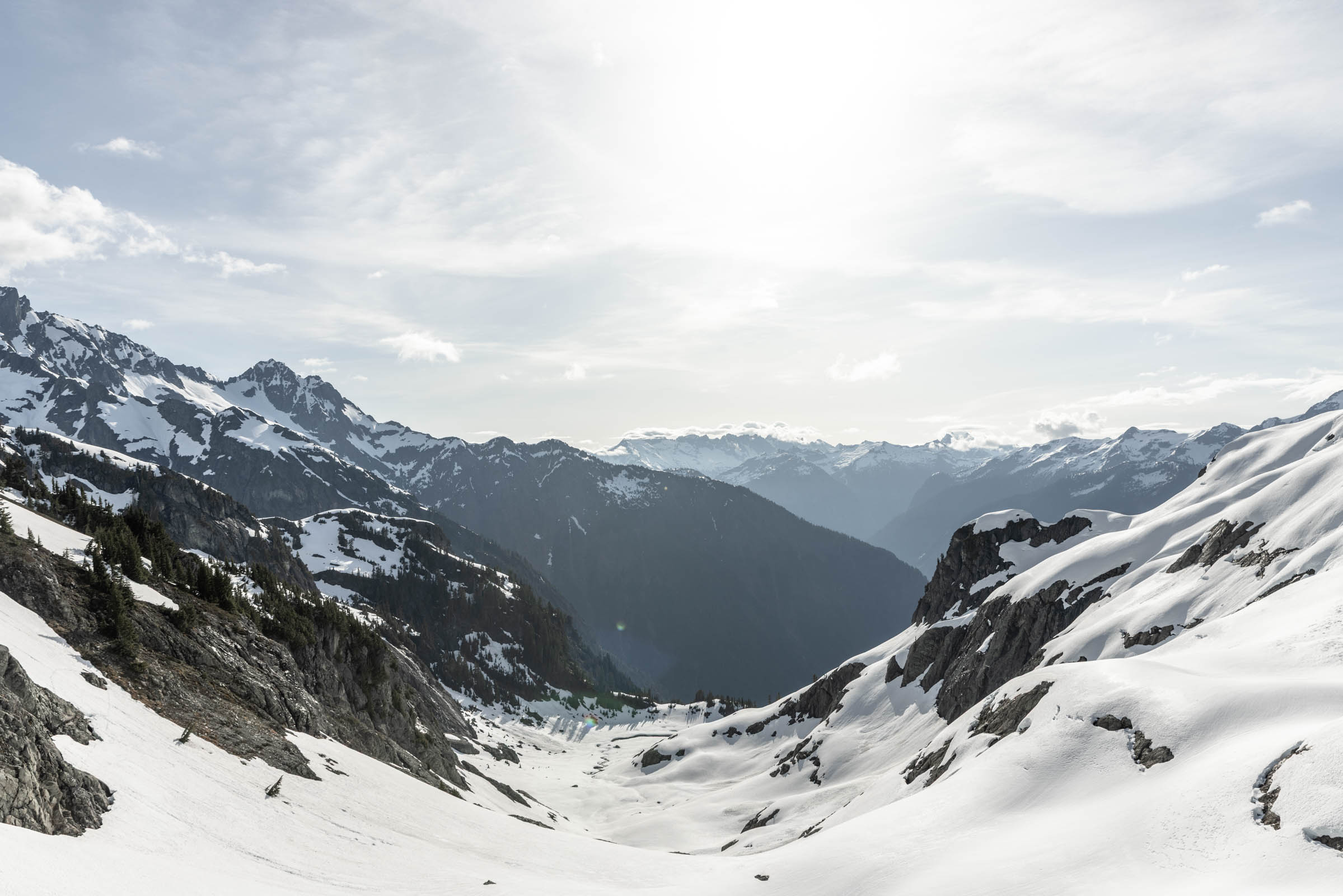
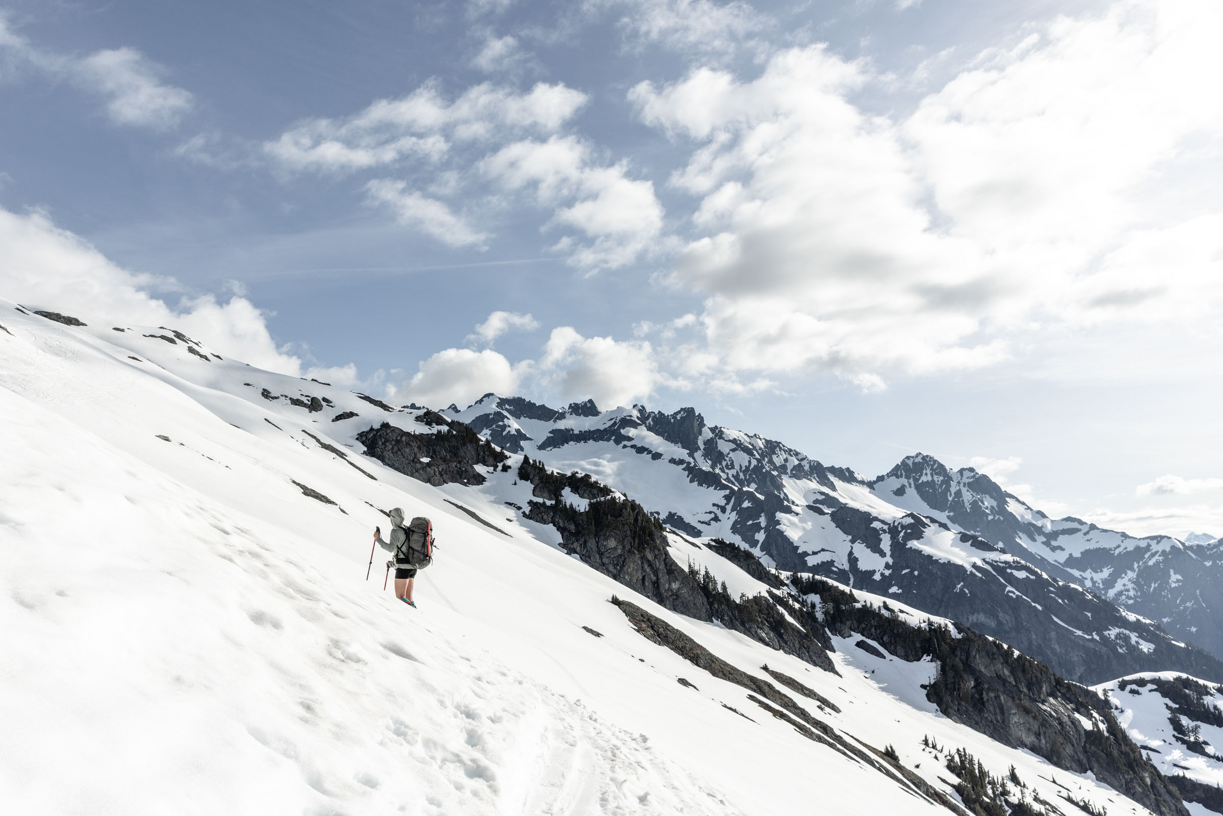
Sulfide Glacier
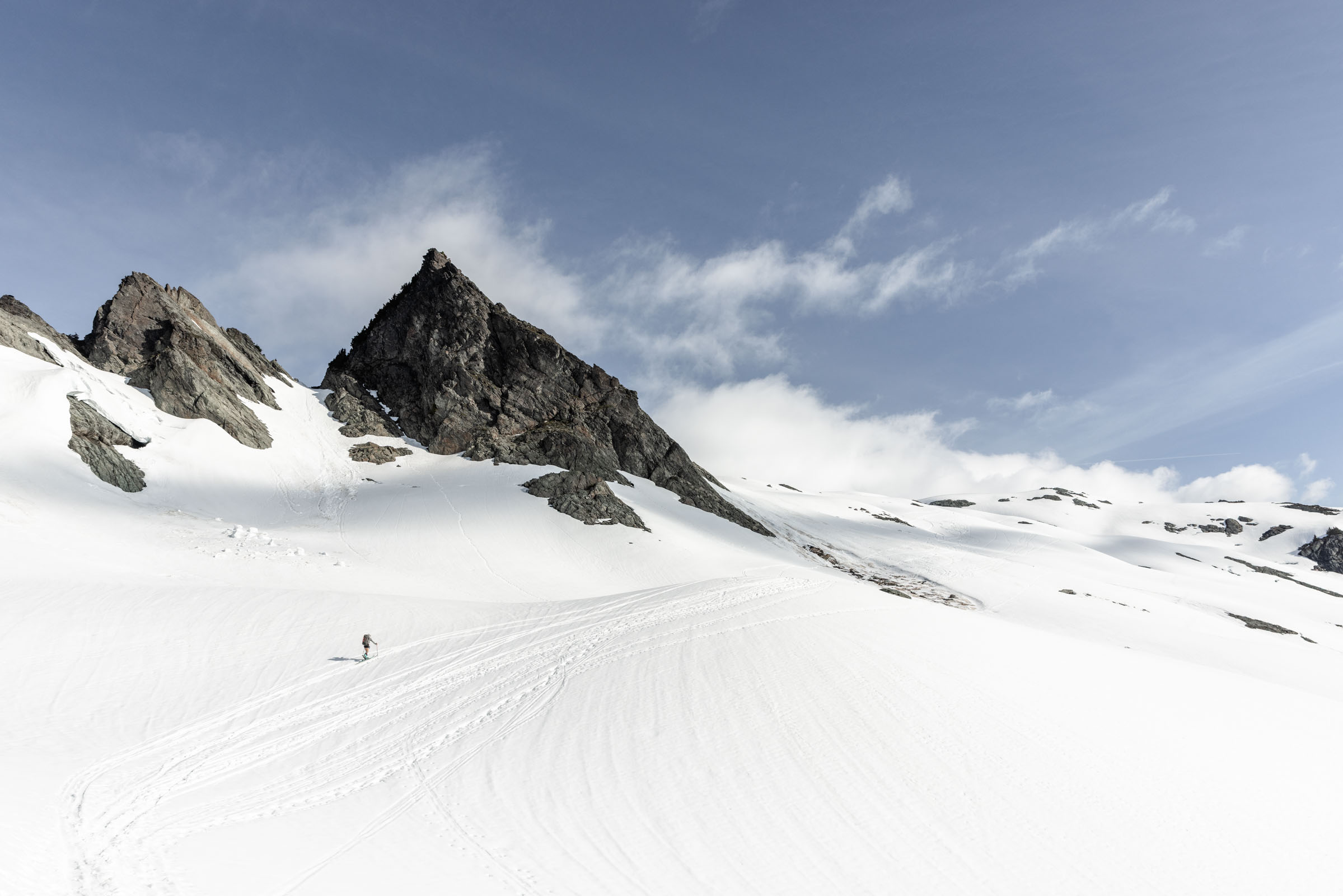
From the saddle, we split up since booting was way too slow for our 11am turnaround objective. So I continued to slog ahead on my skis and was already so tired! Every flat break was a relief. There was a nice flat area where we found a solo tent at the base of the glacier. I would totally come back to camp just for the views. I joked if they would let me nap in their tent. It looked cozy for a tired me.
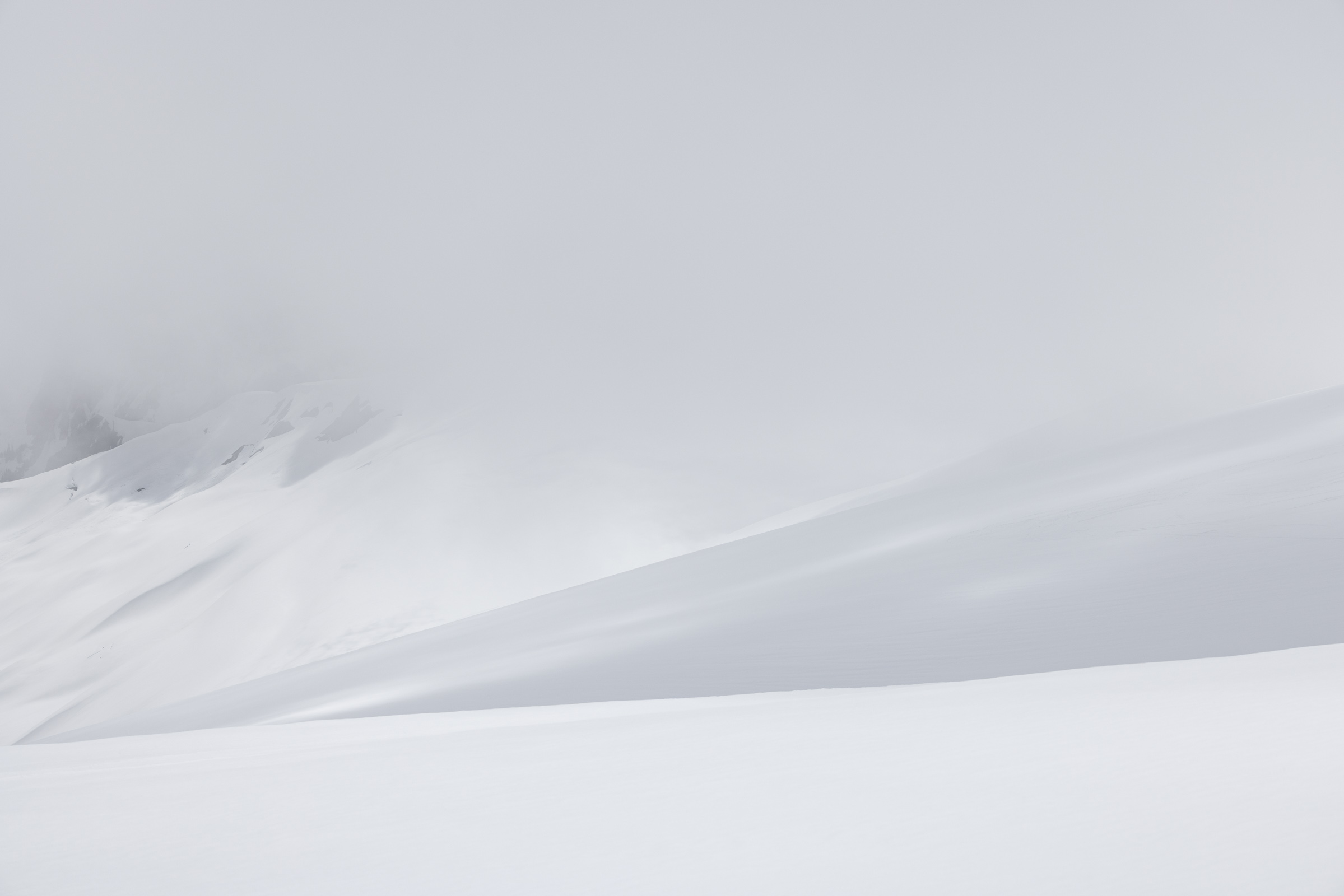
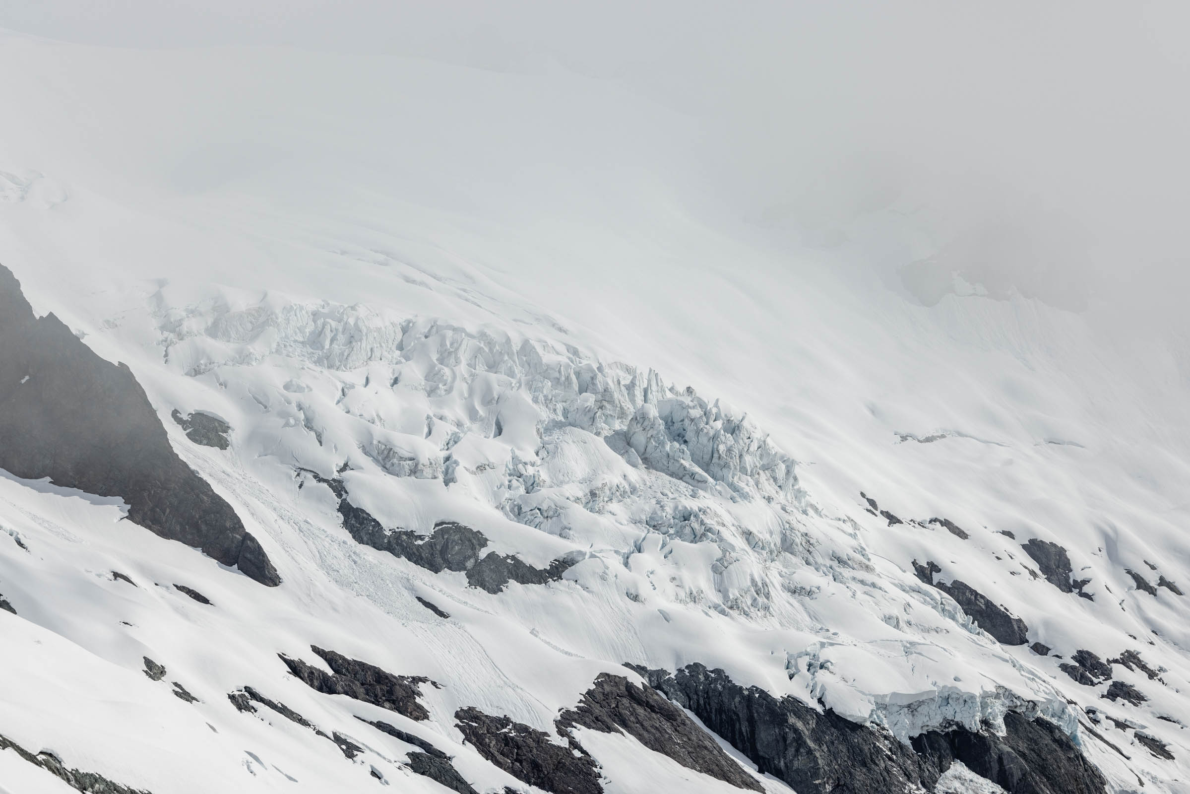
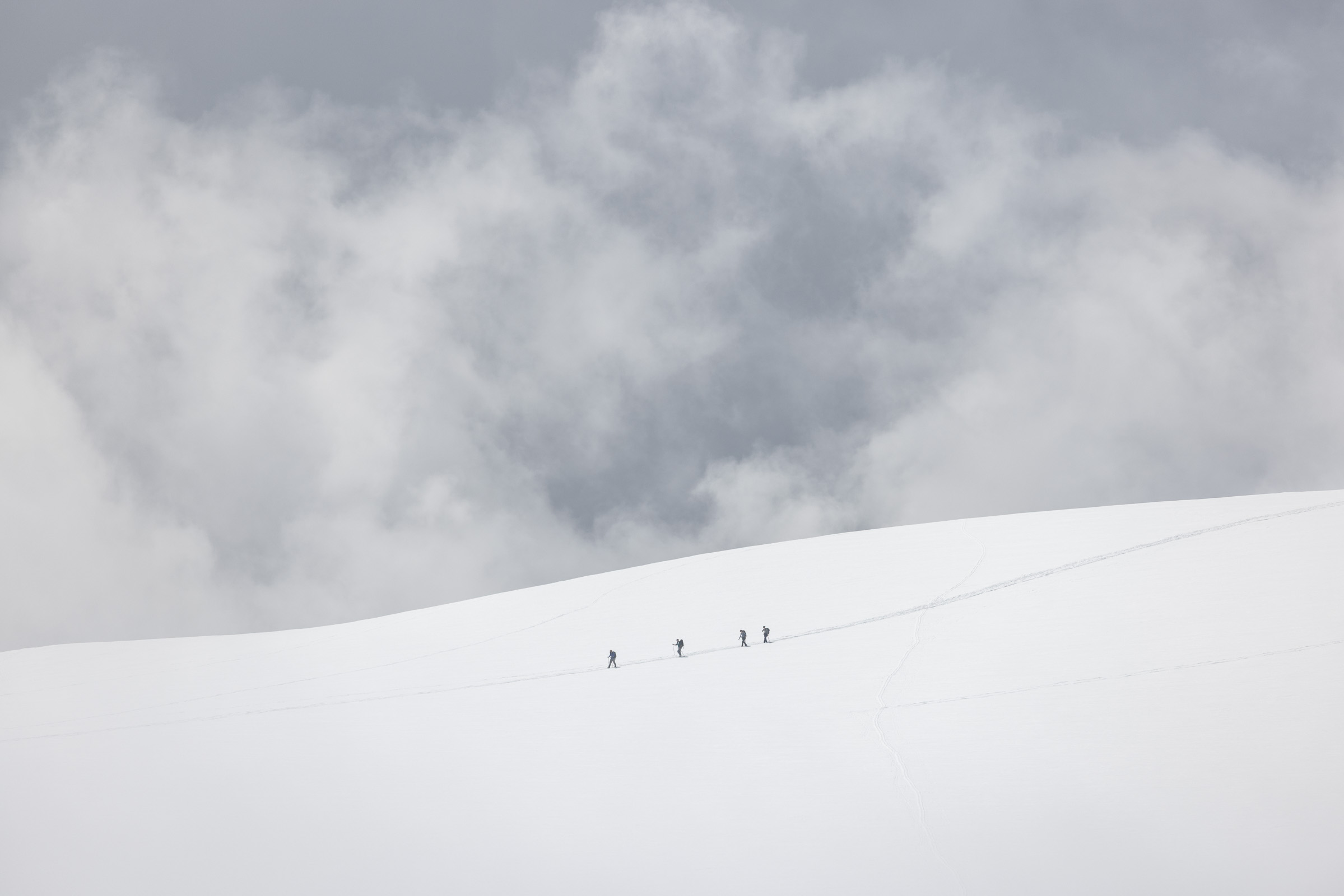
At this point, the clouds started to roll in and limit our visibility. There were some cracks we could see and avoid and other rocky features that we knew to avoid. At times, we weren’t sure to go, but there were plenty of other tracks to follow and our gps tracks that kept us on low angle terrain.
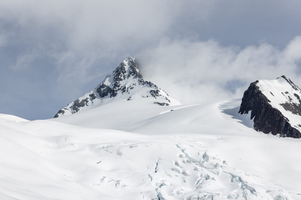
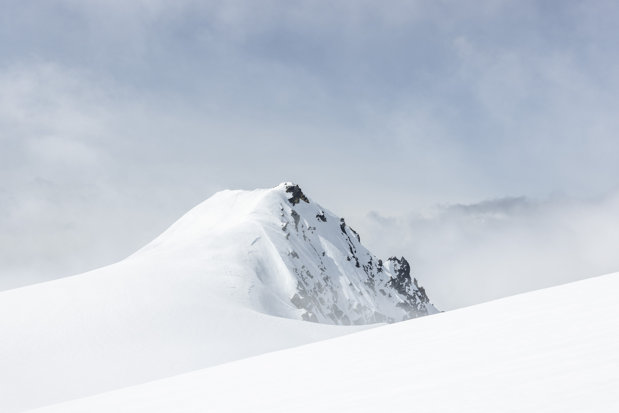
As we rounded the corner of the Sulphide Peak, one that people seem to go to as a destination, we kept going along the saddle to a flat area in hopes for views. But we got no views, so we pushed forward 200 more feet — the hardest feet somehow. We finally reached a saddle that overlooked Artist Point. This was right next to the famous Hourglass.
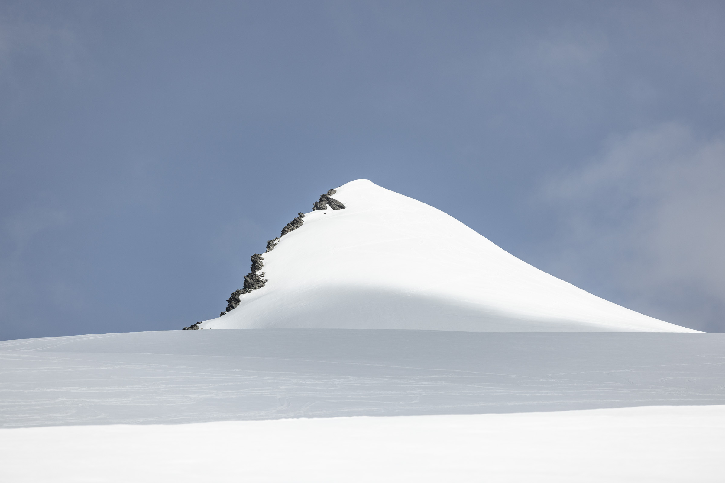
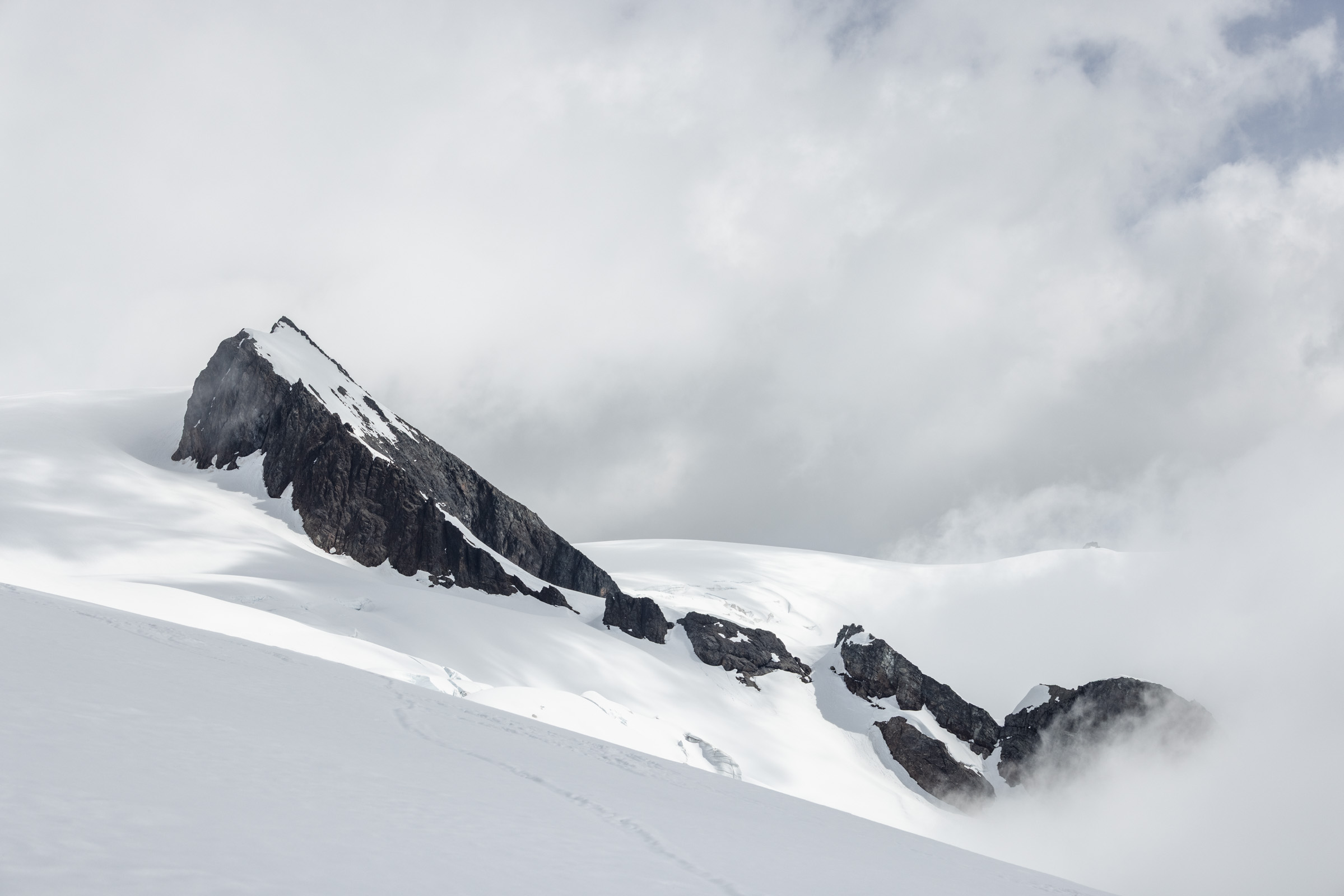
We contemplated going another 600 ft to the base of the summit block but decided against it since it seemed more work than fun to do. So we sat and enjoyed a nice break with the most splendid views. Somehow we had timed the clouds just right, even if we didn’t time the snow as optimally.
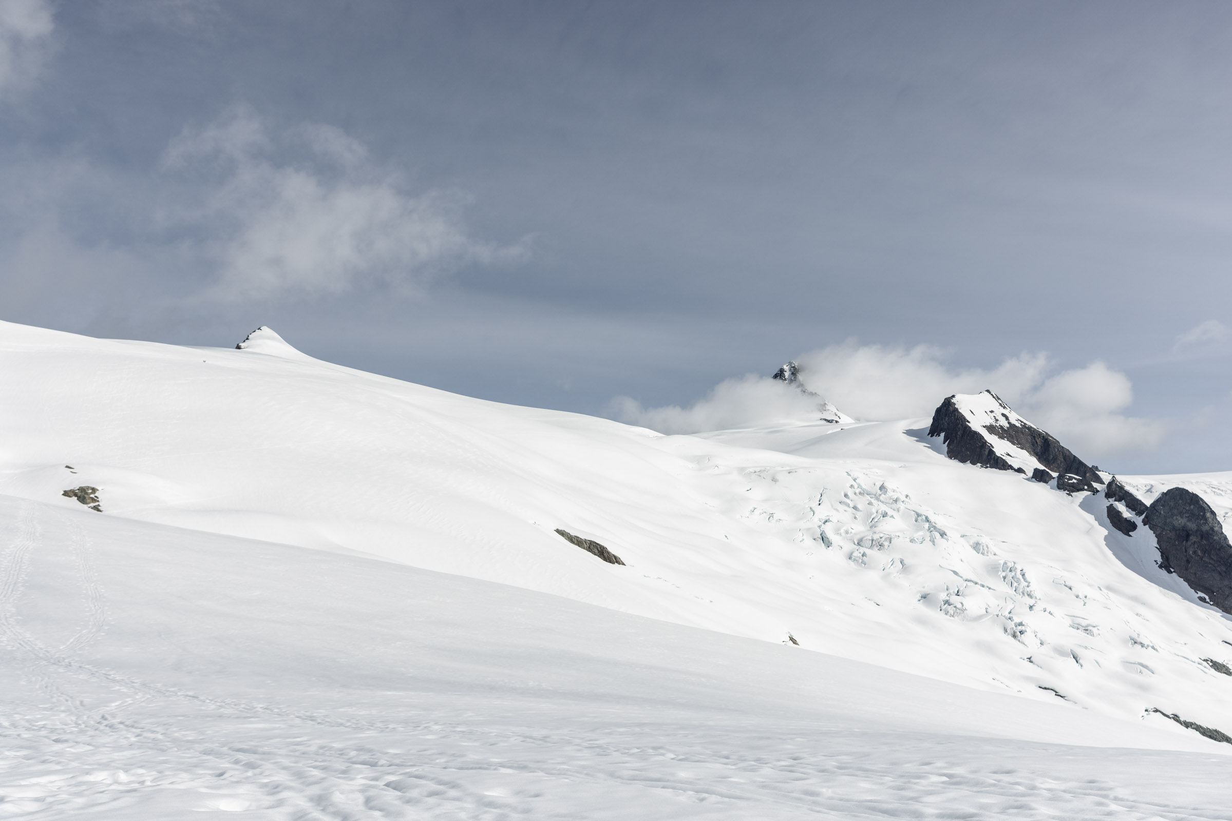
Skiing the Glacier
Really, this could’ve been called a Shuksan Summit Ski Attempt. But we had quickly nixed the idea of a summit. On our way down, we met a guide who said this was the first time he has not summited the peak with clients, breaking his streak. We felt justified that we didn’t even take a look at the summit block. From afar, not only did it look steep and impossible, the minimal snow looked like a big hurdle and safety concern. There was much evidence of slides. Though I have no idea where some of the people ahead of us had gone because we couldn’t see them and we were sure they were still on the mountain when we left.
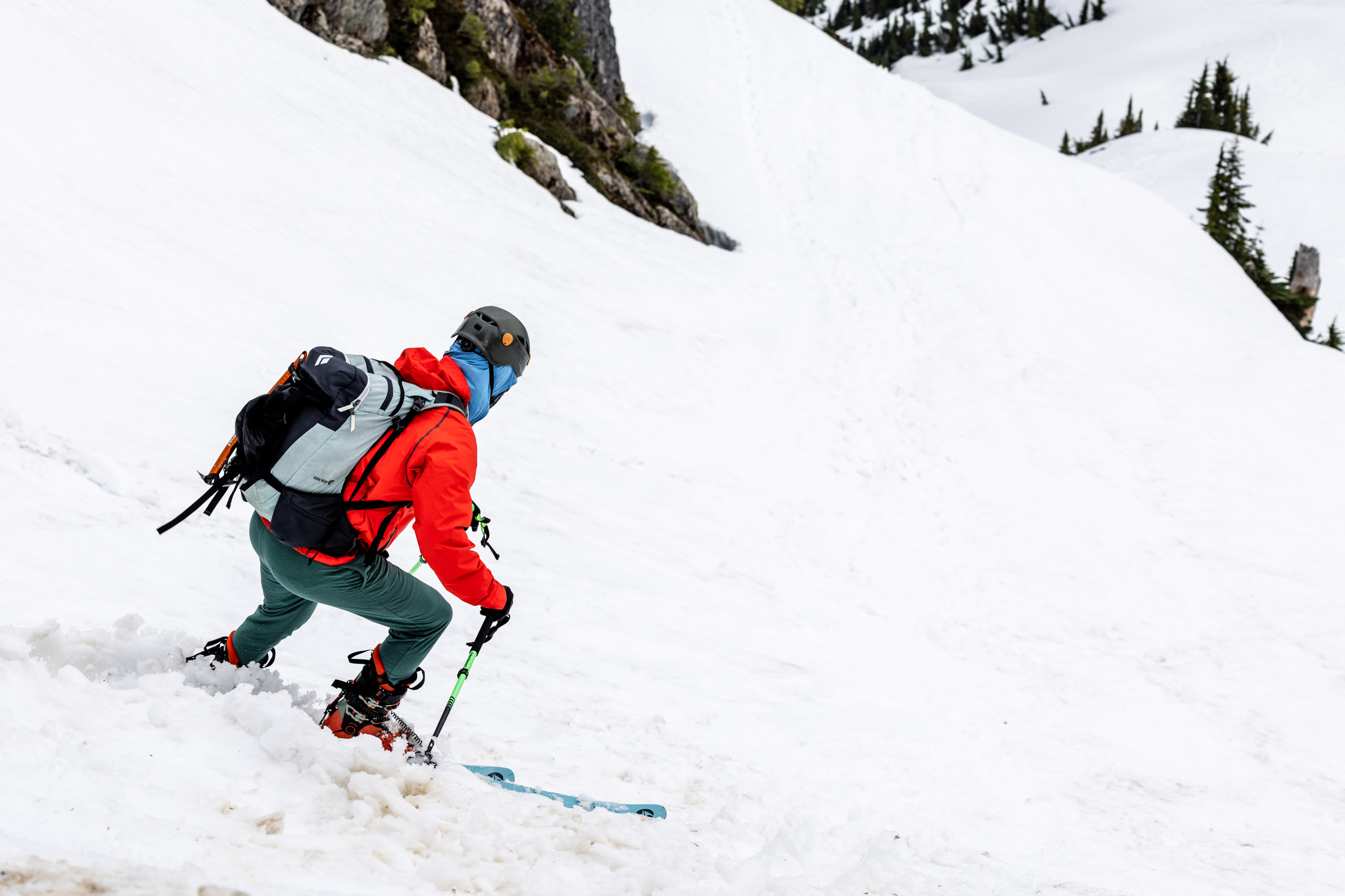
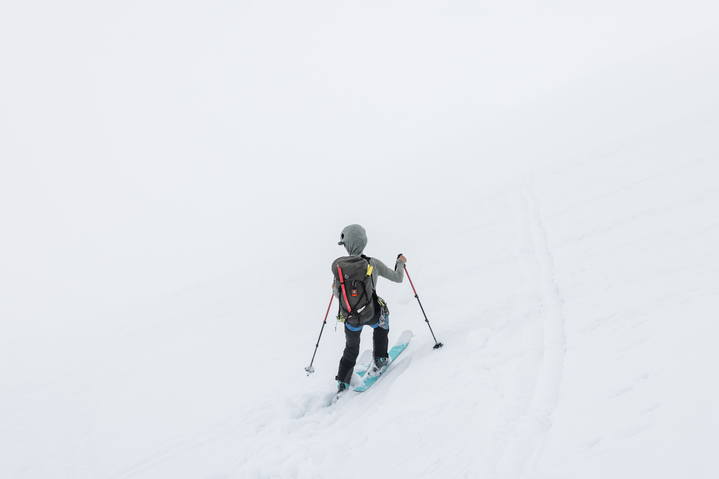
The problem of skiing the Sulphide Glacier is that it is flat and even in better lighting, it would probably still be tough to get enough speed over the flats. We laughed about how much scooting we did on skis. And even looking back at my track, I can see I only made a few turns in a 500 ft section and then another 200 ft section before it was all traversing. I suppose a few more turns could be made in better, non-slush conditions, but still, it was not as exciting as I had hoped. I guess since most of the glacier is < 27 degrees, it would mean a flat descent that traverses instead of going fall-line. Important lessons learned!
Shannon Creek Forest
At the saddle, we regrouped and “skied” about 600 ft down the ridge before scooting our way for about half a mile. What a rough time! But still all around fun and the beautiful views surely made up for it.
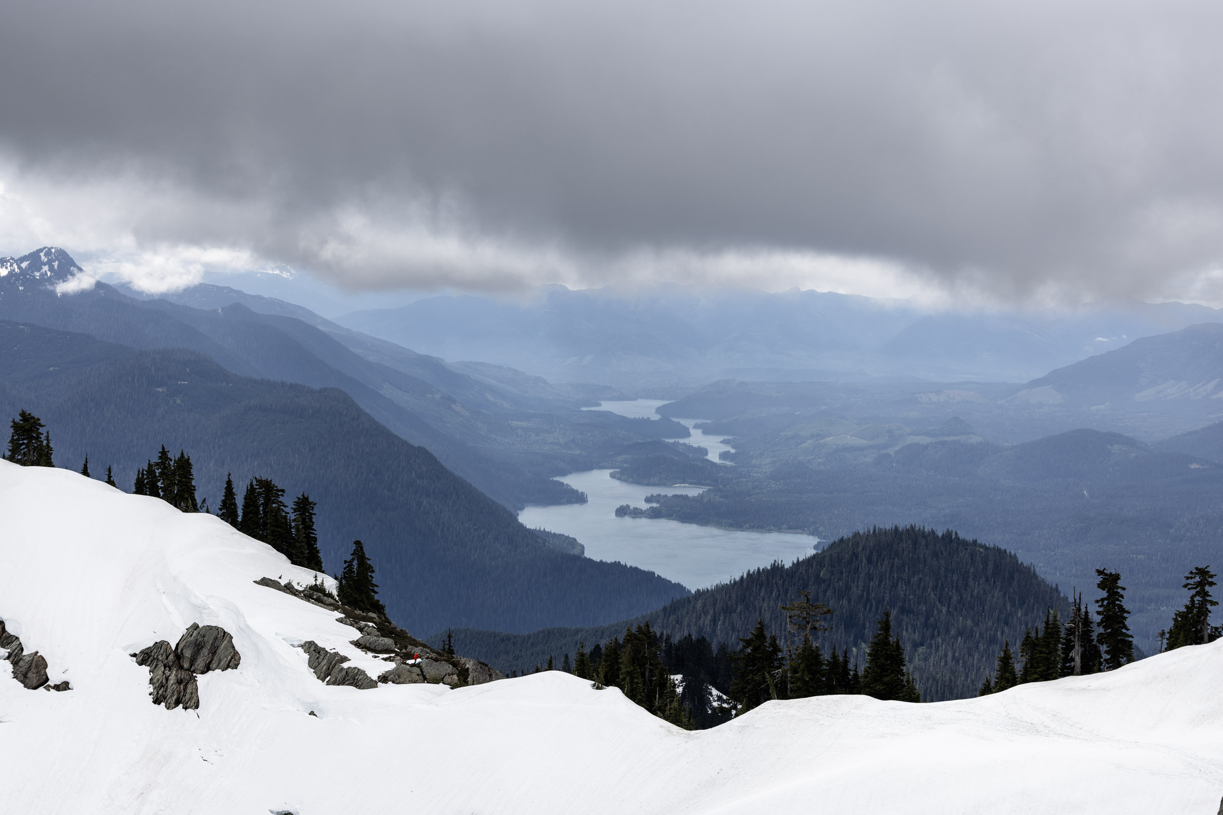
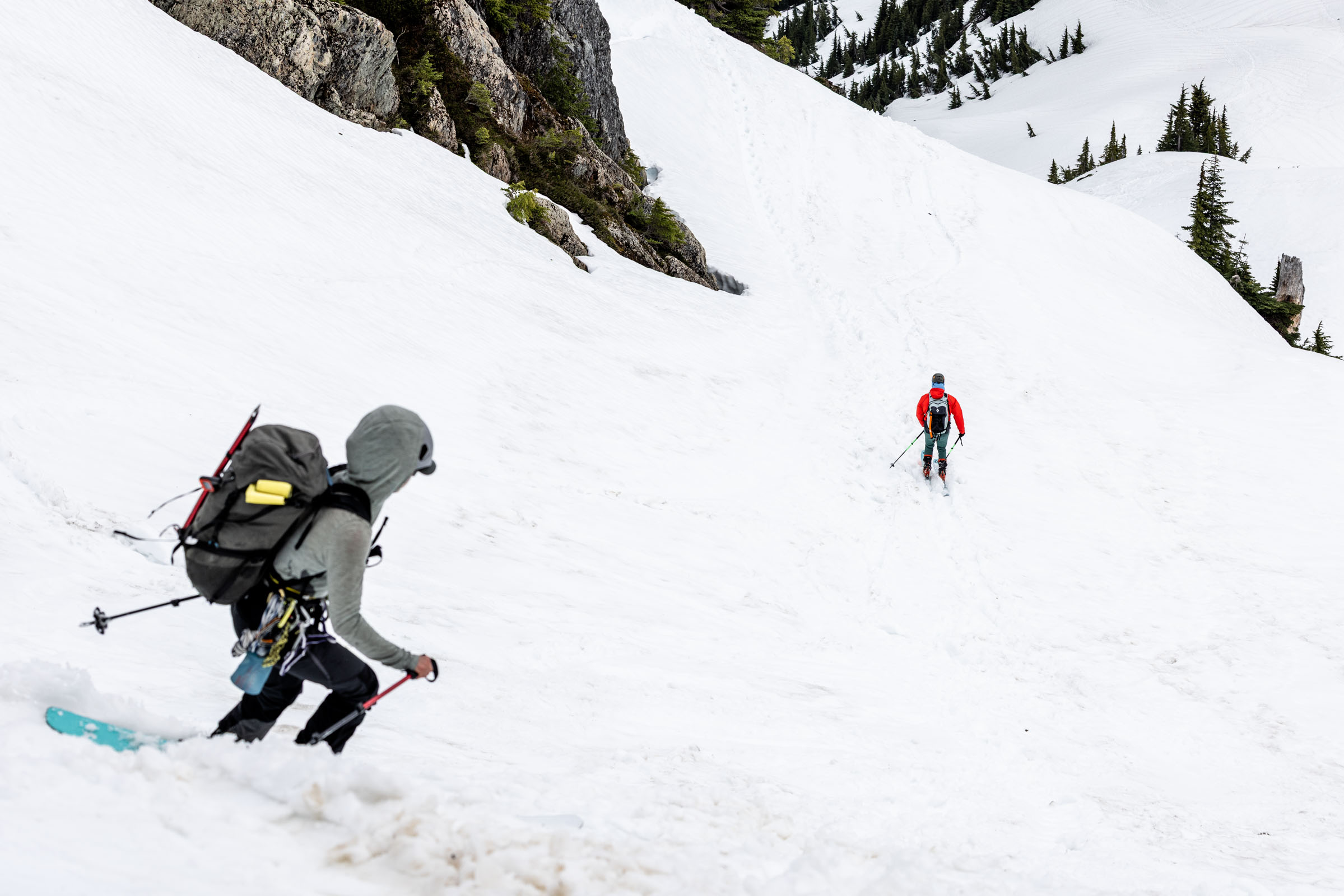
We soon reached our shoe stash and reconfigured our setup to hiking with skis on backs again. The descent couldn’t have been any longer, I kept having to check my phone in the last hour, each time dismayed that we had only traveled a small amount. It really was only about 3.5 miles and 2000 ft, but it felt like descending Mt Si.
Notes
- Elevation and mileage may vary depending on where you turn around. I turned around 600 ft before the summit block which is another 500 ft to the summit
- Standard glacier gear, but we never roped up since we were on skis. We did put on harnesses at the base of the glacier as a precaution
- Time of year and annual snowfall will affect how far you hike up before hitting snow. This year was a relatively low snowfall year, but decent snow was still found!
Photos taken on Canon EOS R5


You May Also Like
my journey becoming a backcountry skier
the unexpected | mt logan via banded glacier