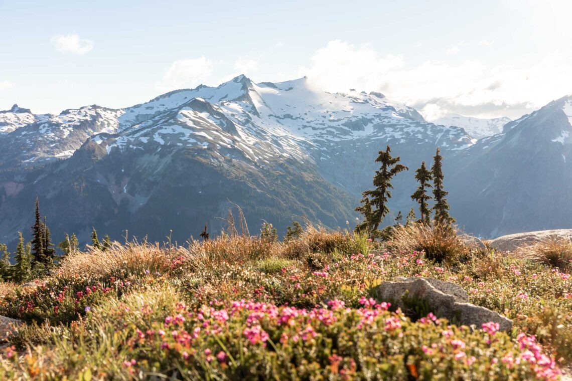
it’s high time | paddy-go-easy to granite traverse
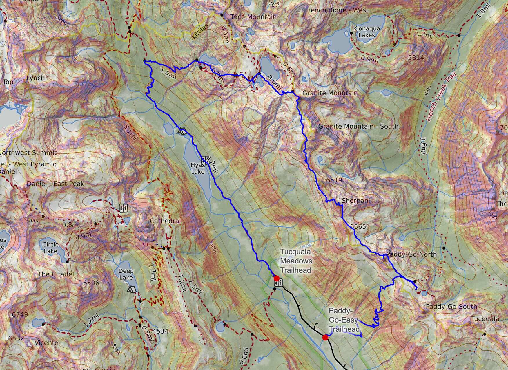
17 miles . 6000 ft gain . 7144 ft high
Alpine Lakes Wilderness
High routes are tricky because they often travel unknown terrain. Such is this traverse between Paddy-Go-Easy and Granite Mountain. A few friends have already trekked through here so I felt like it was time I connected the two trails I’d previously done. Once I photographed an elopement at Paddy-Go-Easy and Tuck and Robin Lakes on the north side. At last the right weather and partner intersected and we went for this high-fun, high-adventure, high-route traverse!
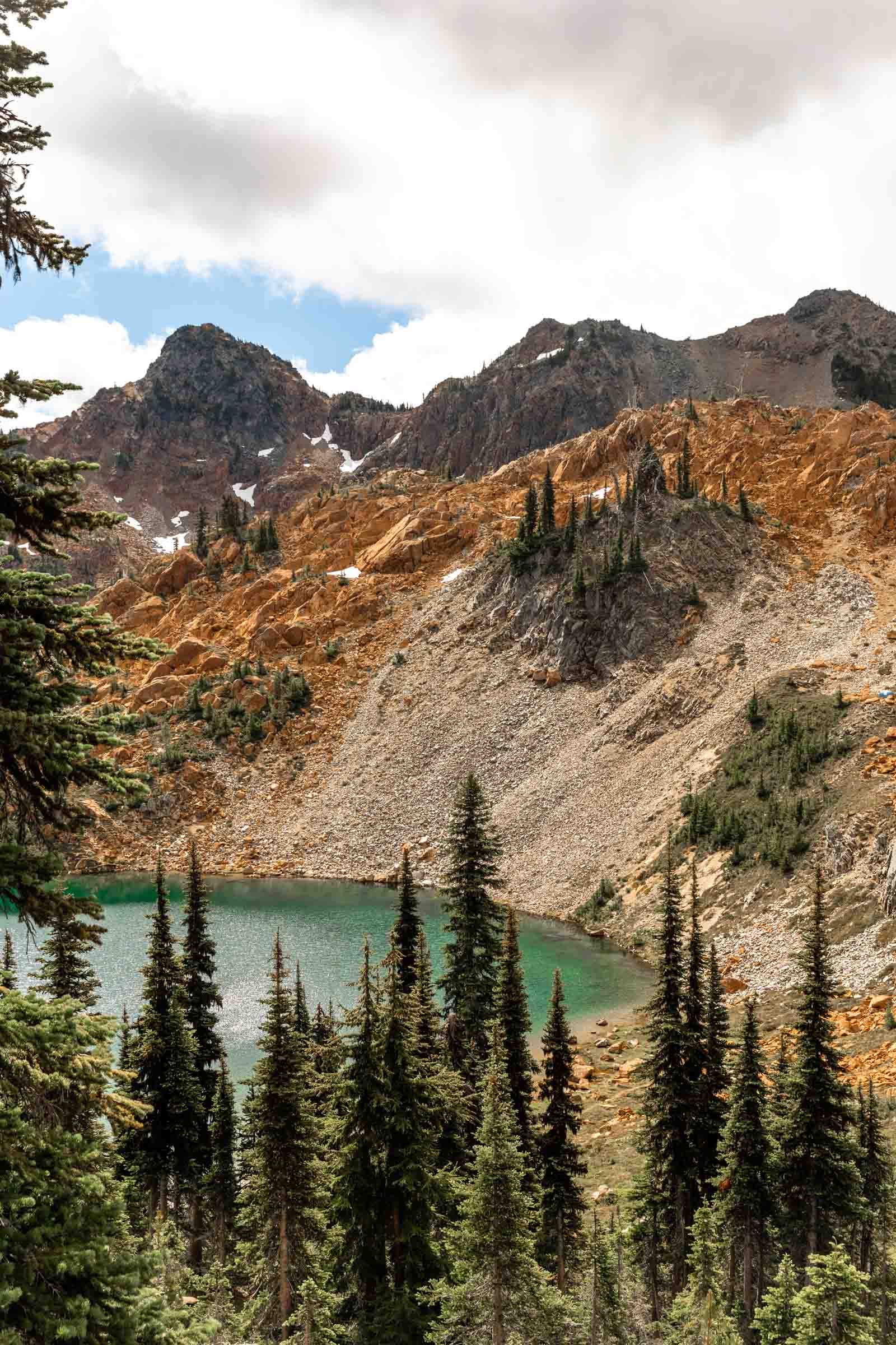
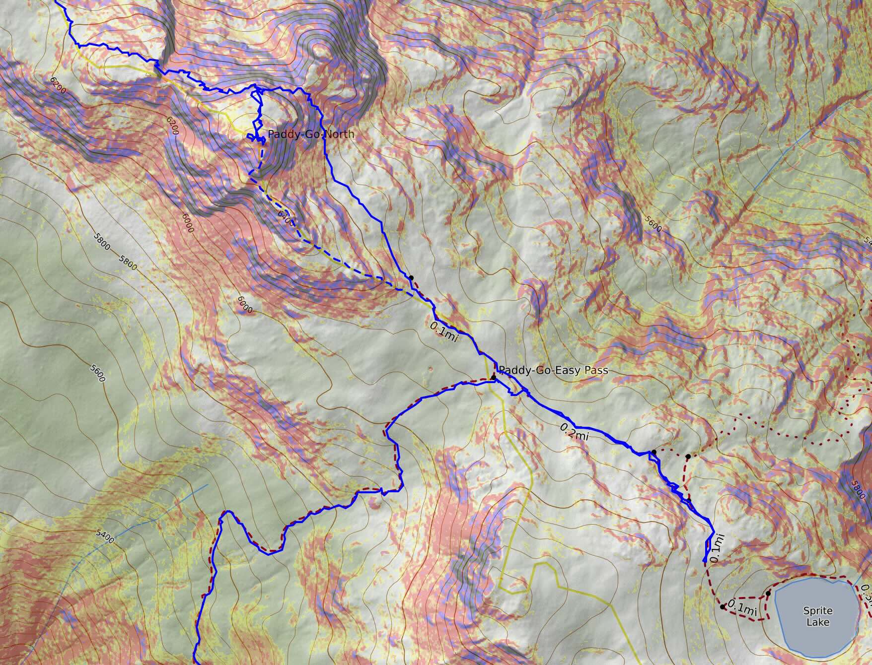
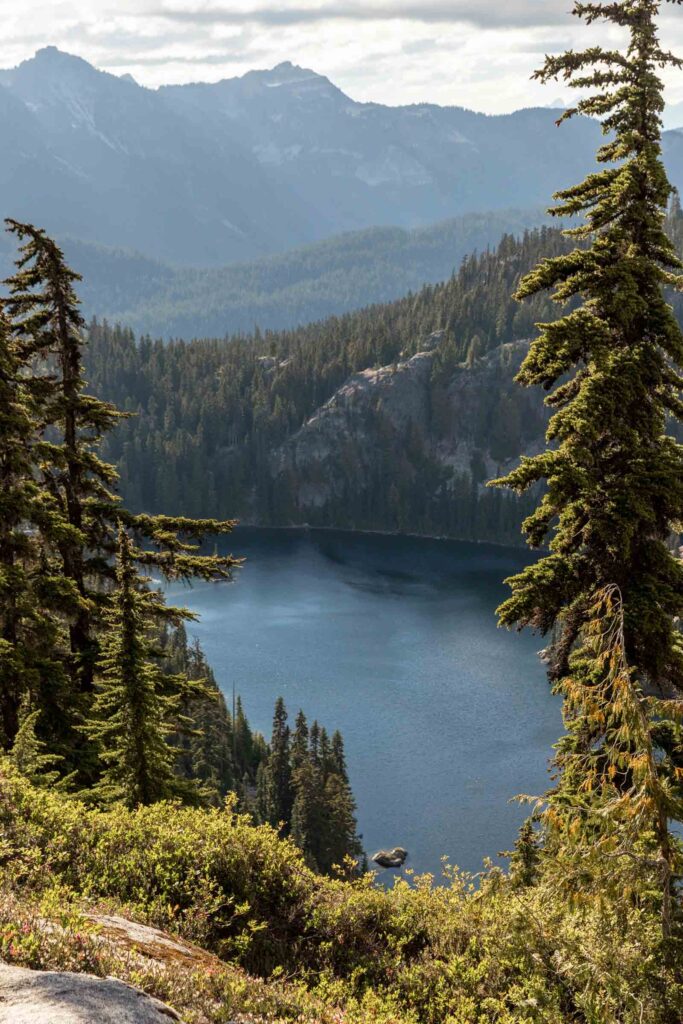
We decided to start from the Paddy-Go-Easy Trailhead and move counterclockwise for an easier ending and to get the harder parts done first. And it was the most wise choice since (spoiler alert: we ended in the dark). The trail was largely very good except for a handful of downed trees that haven’t been cleared for years. We saw a few people headed up to Sprite Lake end decided to take a detour to check it out and it was quite lovely! We thought we were making good time when we got to the ridge of Paddy-Go-Easy Pass. It was easy enough to walk over an extra 20 minutes round trip to get a good view of Sprite Lake.
We didn’t linger too long since we had the whole traverse left to do. In my error, I initially thought the traverse would only take 3 miles, but in reality the difference being 5 miles makes a large difference. Let’s continue.
Paddy-Go-North
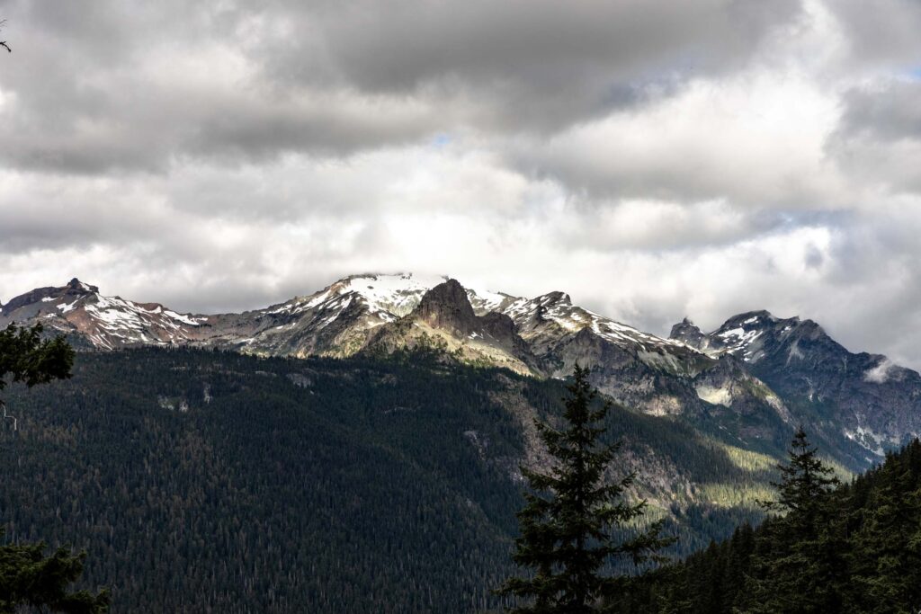
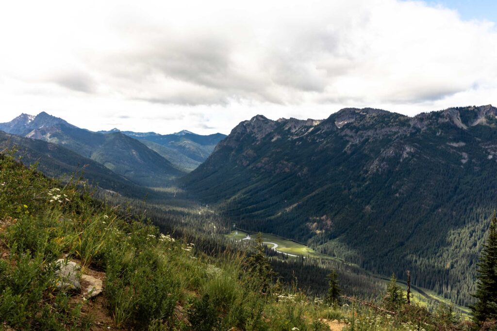
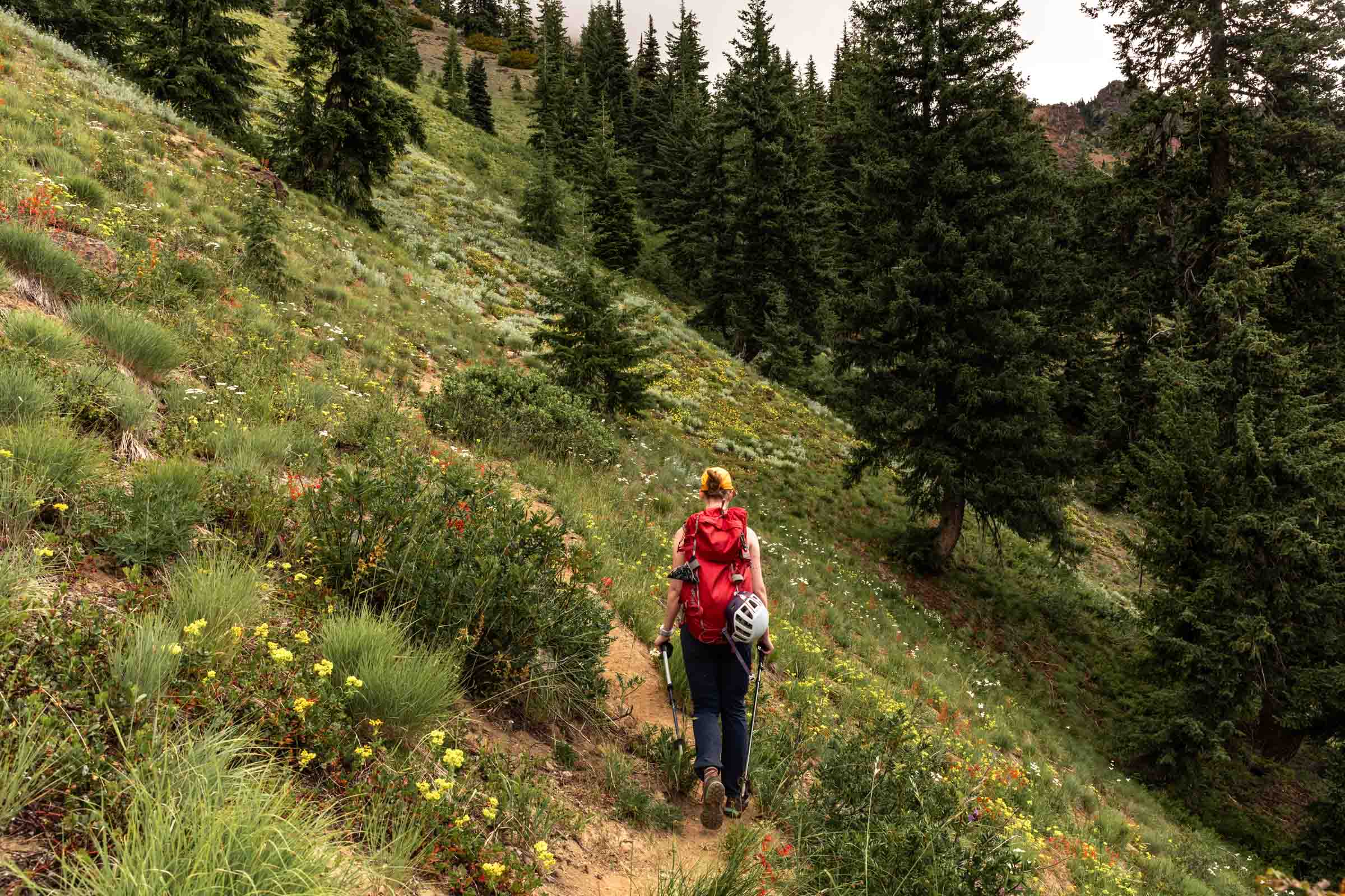
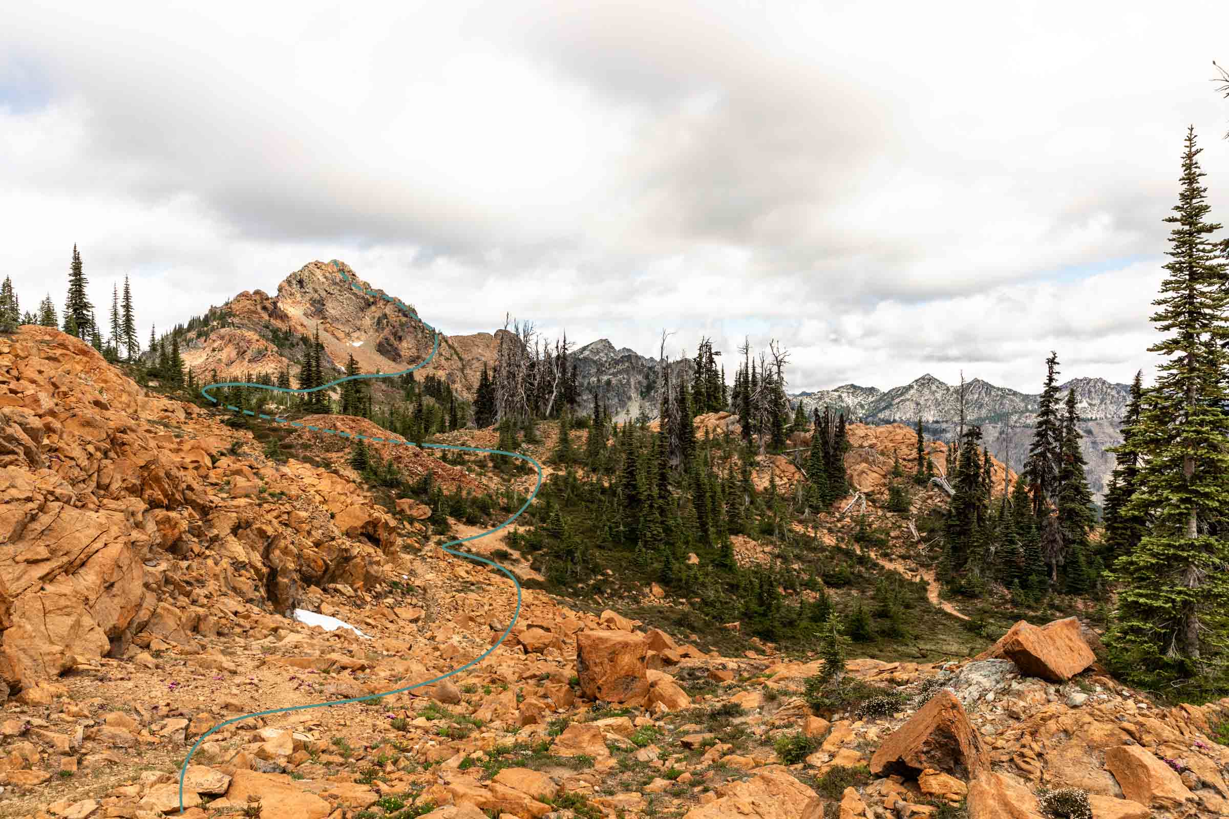
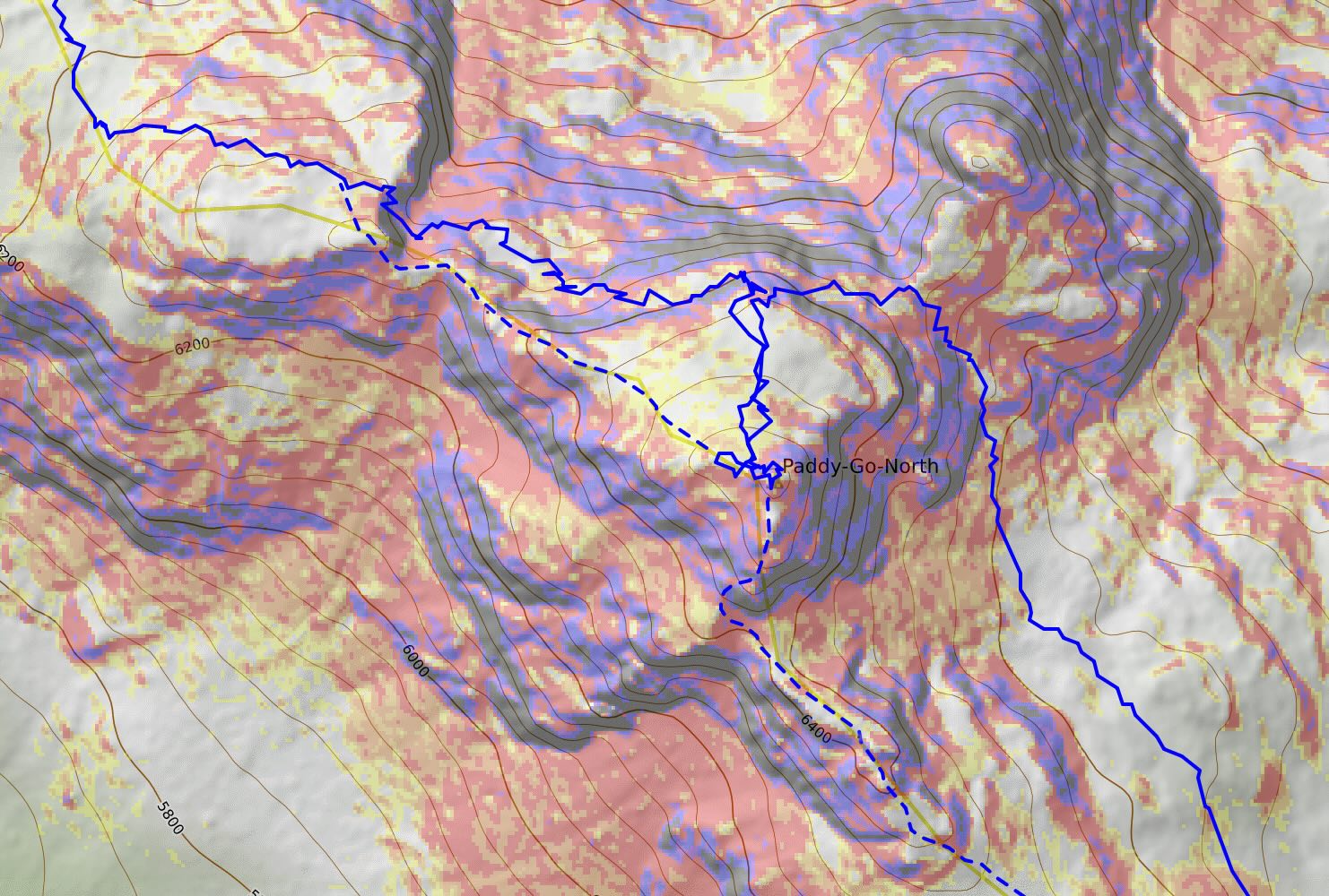
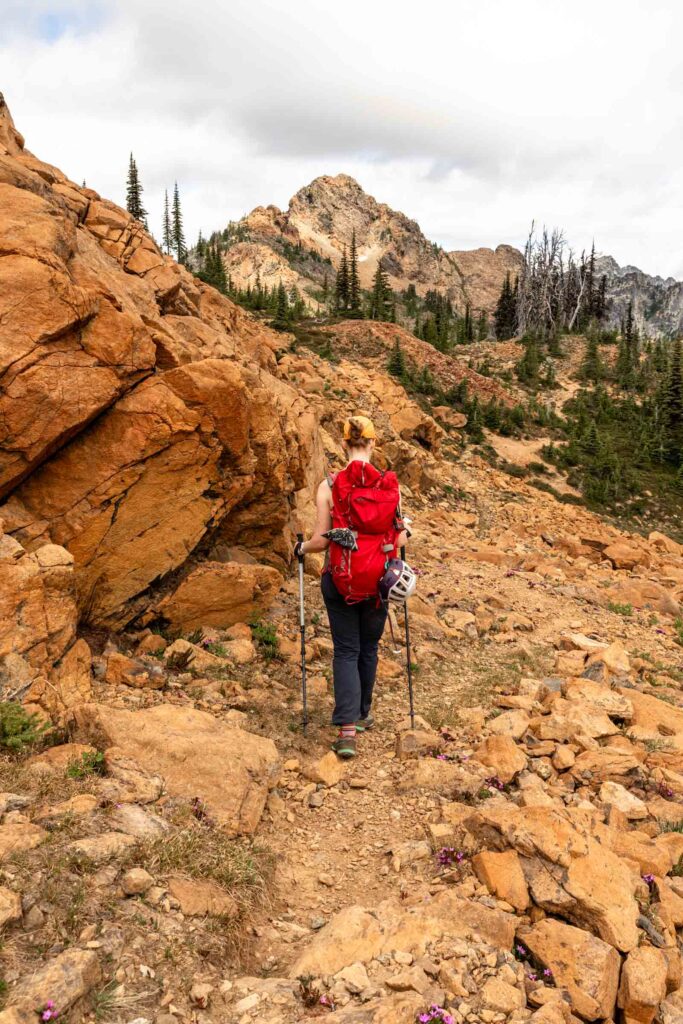
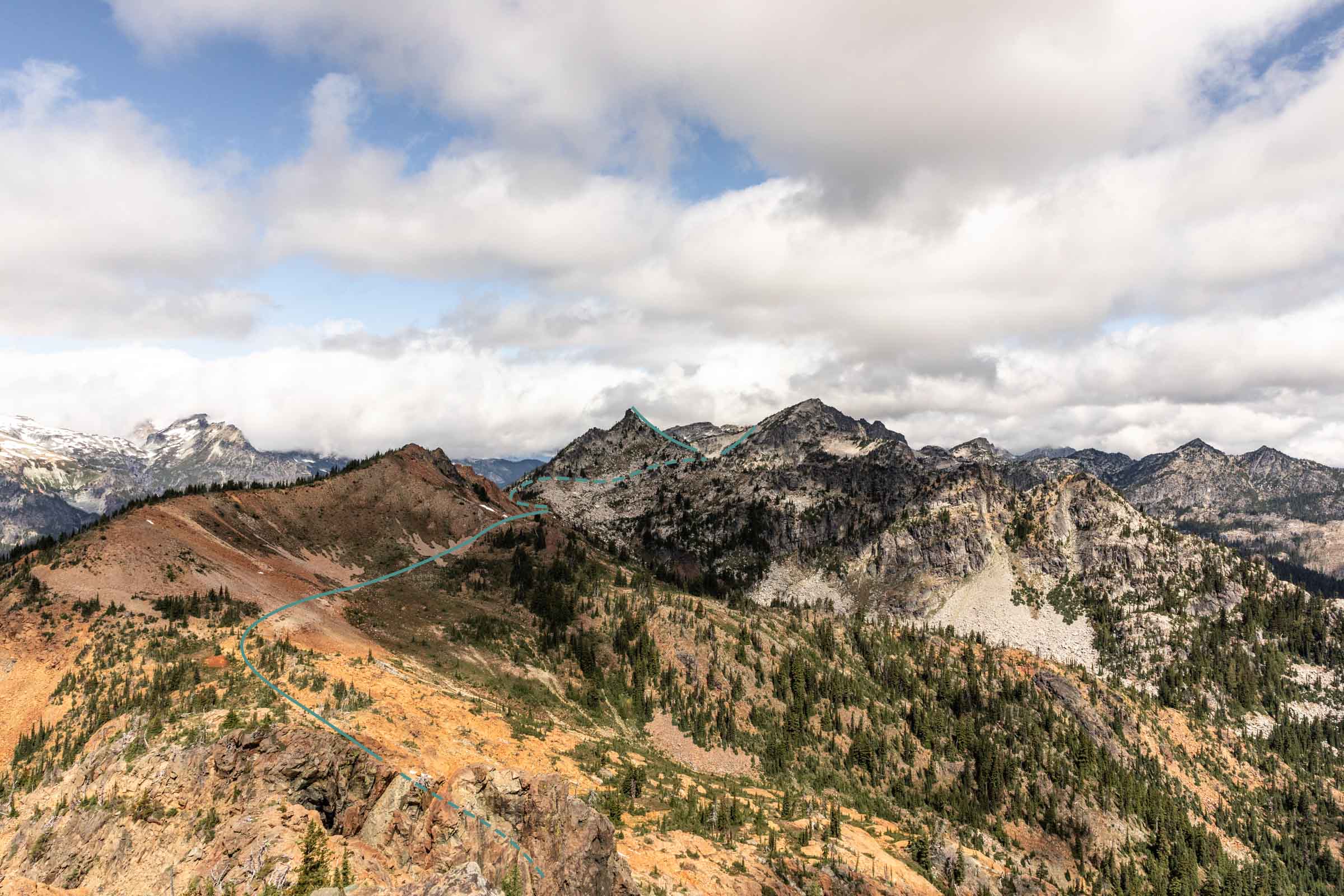
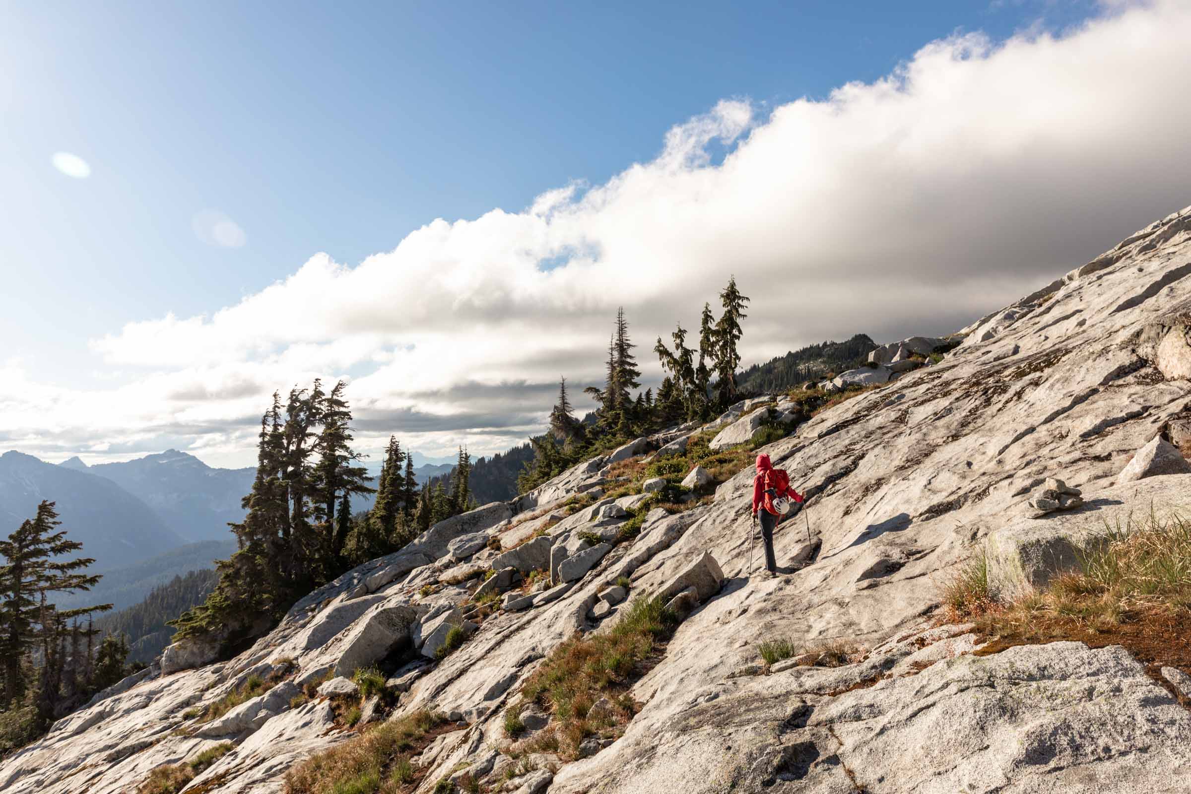
From Paddy-Go-Easy Pass, it is a short distance to the summit of Paddy-Go-North. We approached it by wrapping around to approach it on the north face. However, you can also approach it from the SE ridge for more serious scrambling. I have done both and found wrapping north, west on a shelf, then south on class 2 terrain minimizes the intense scrambling. Views were lovely here but we limited our time on the summit to a moderate snack break before the mosquitos got the best of us.
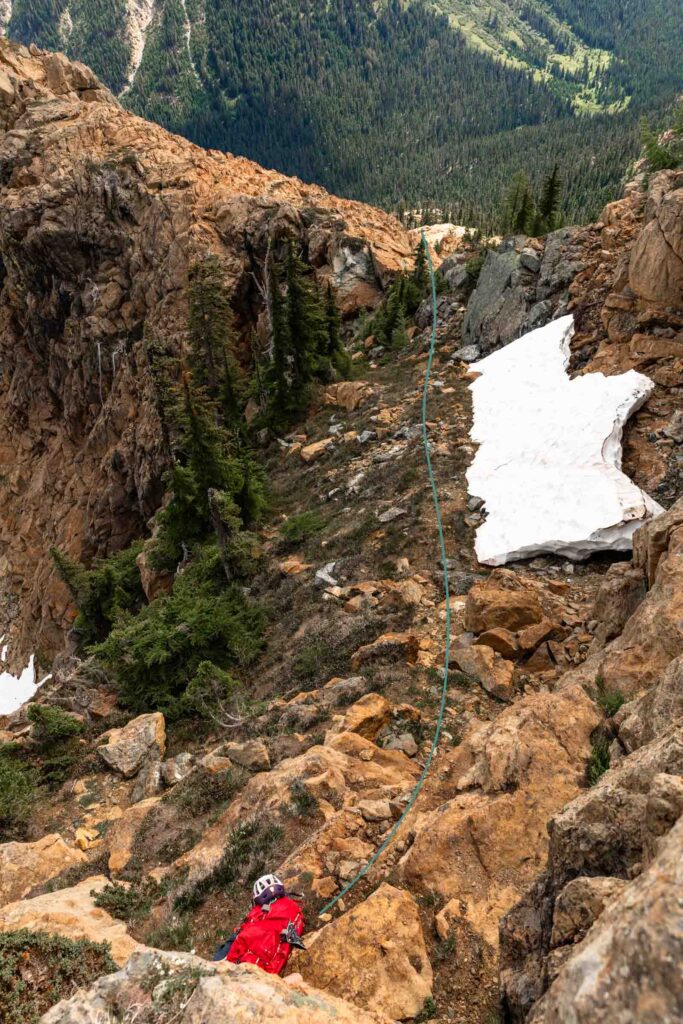
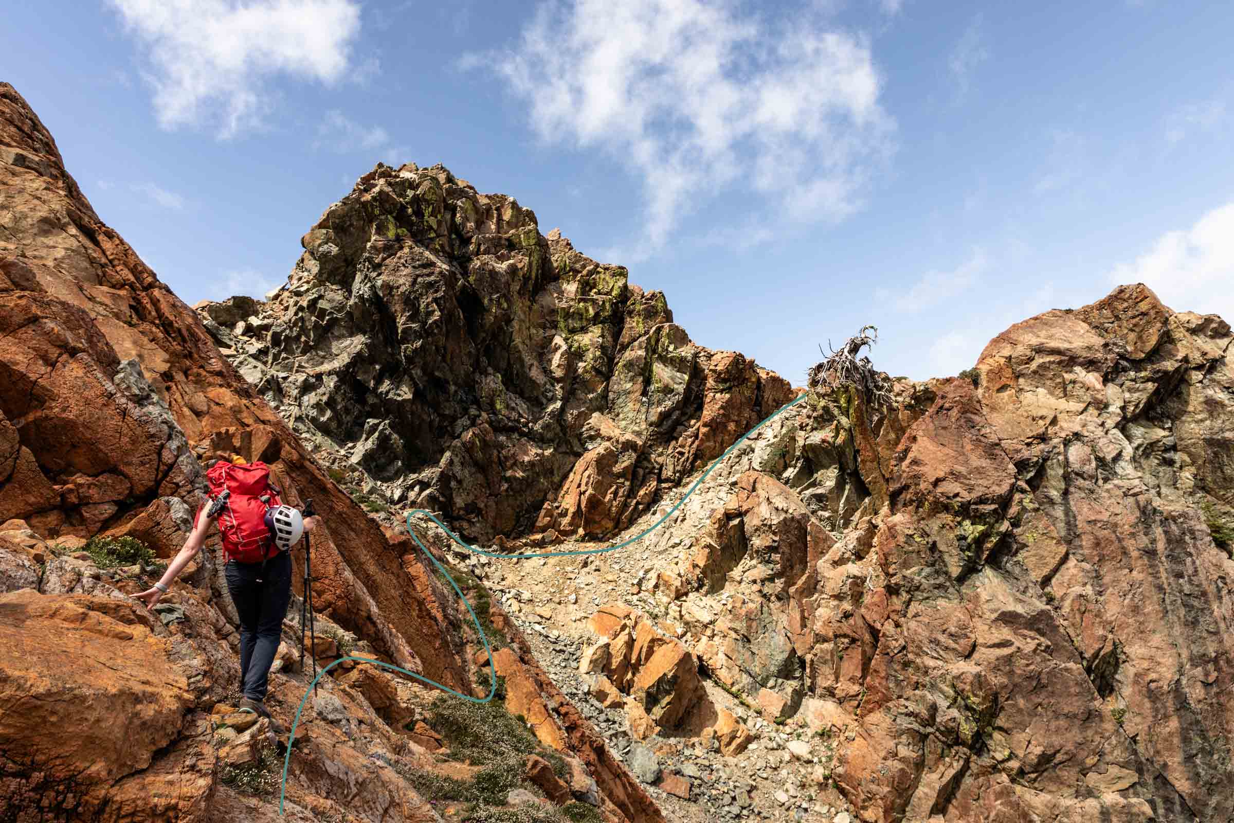
To get off Paddy-Go-North, simply retrace your steps on the north face and stick to the shelf that leads west to a gully. We took careful steps to not slip on the loose soil and made it up an easy stretch. It was more doable than it seemed from afar.
I believe you can also remain on the ridge instead of retracing the north face.
Sherpani Peak
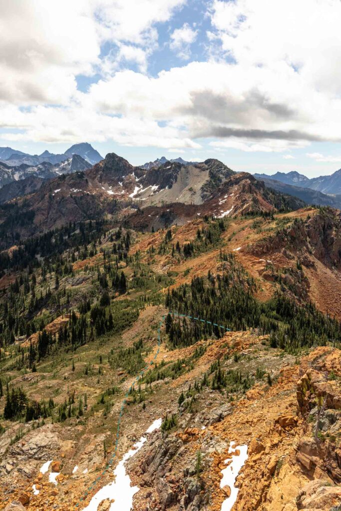
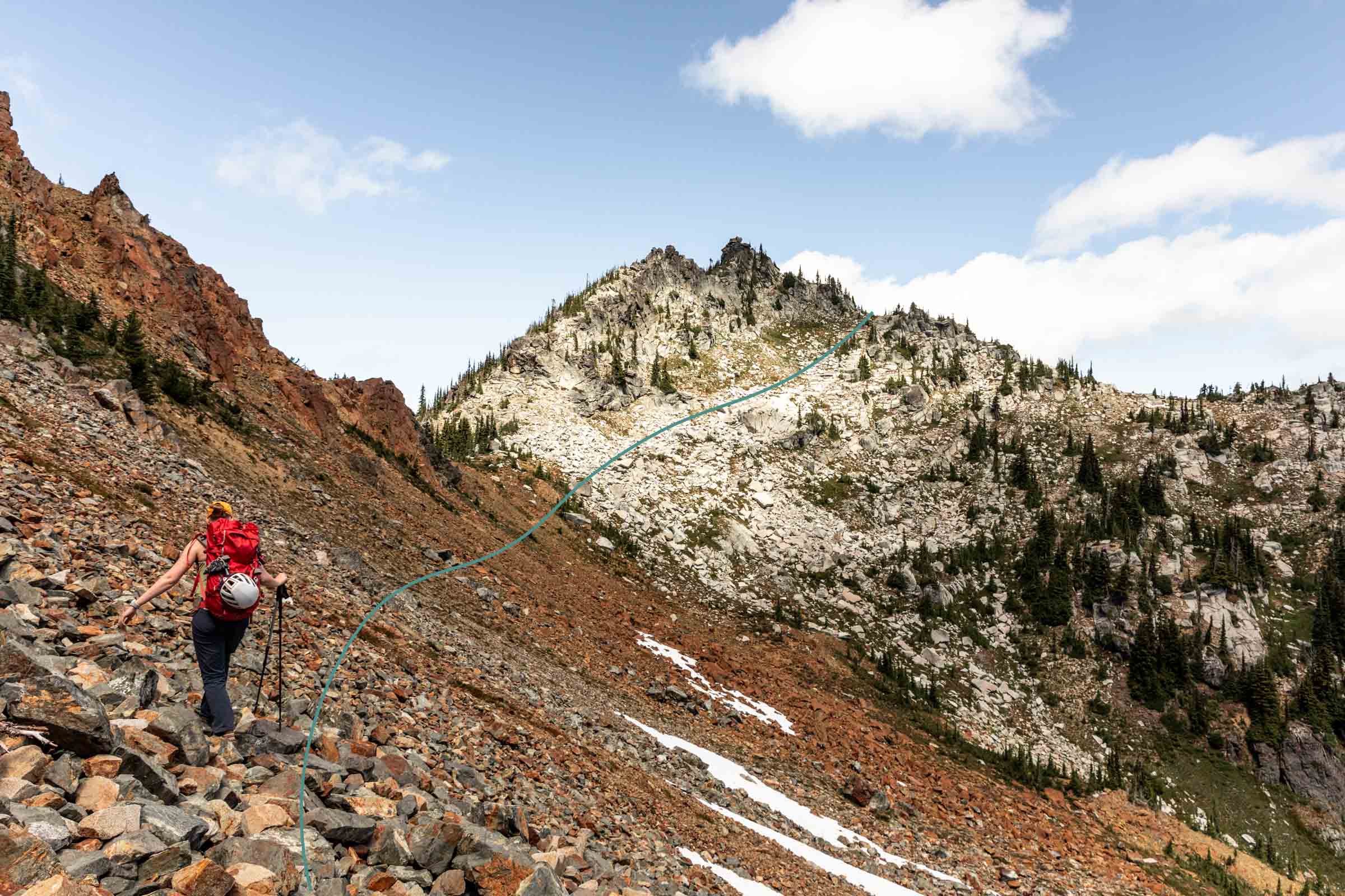
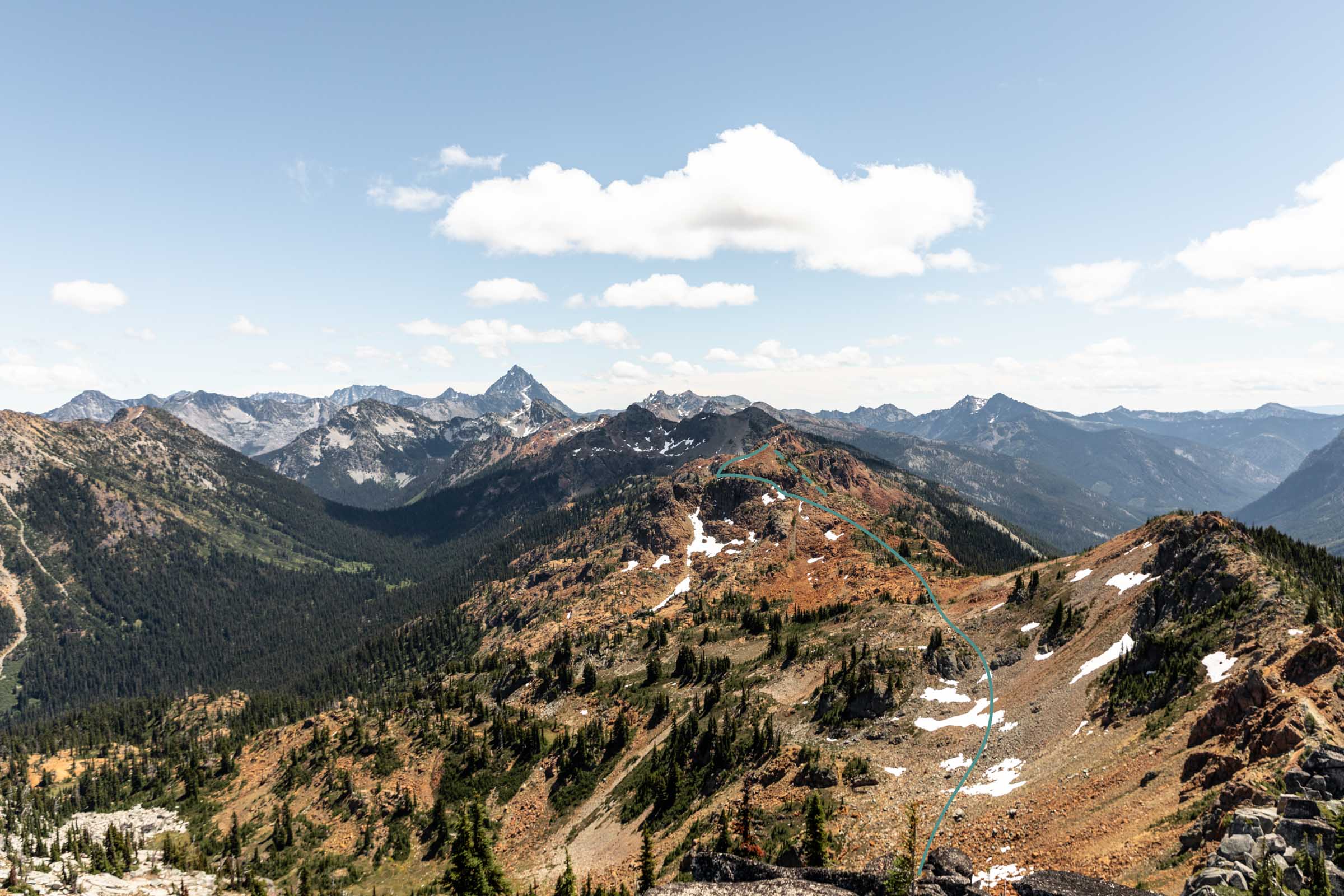
After descending Paddy-Go-North, it is a rather low-angle traverse to the base of Sherpani. There is an option to summit Peak 6565 along the way via the south ridge or even the east ridge, but we skipped this for time. The trickiest part is getting off of Paddy-Go-North summit and onto the ridge. After that, it is easy and rather straightforward.
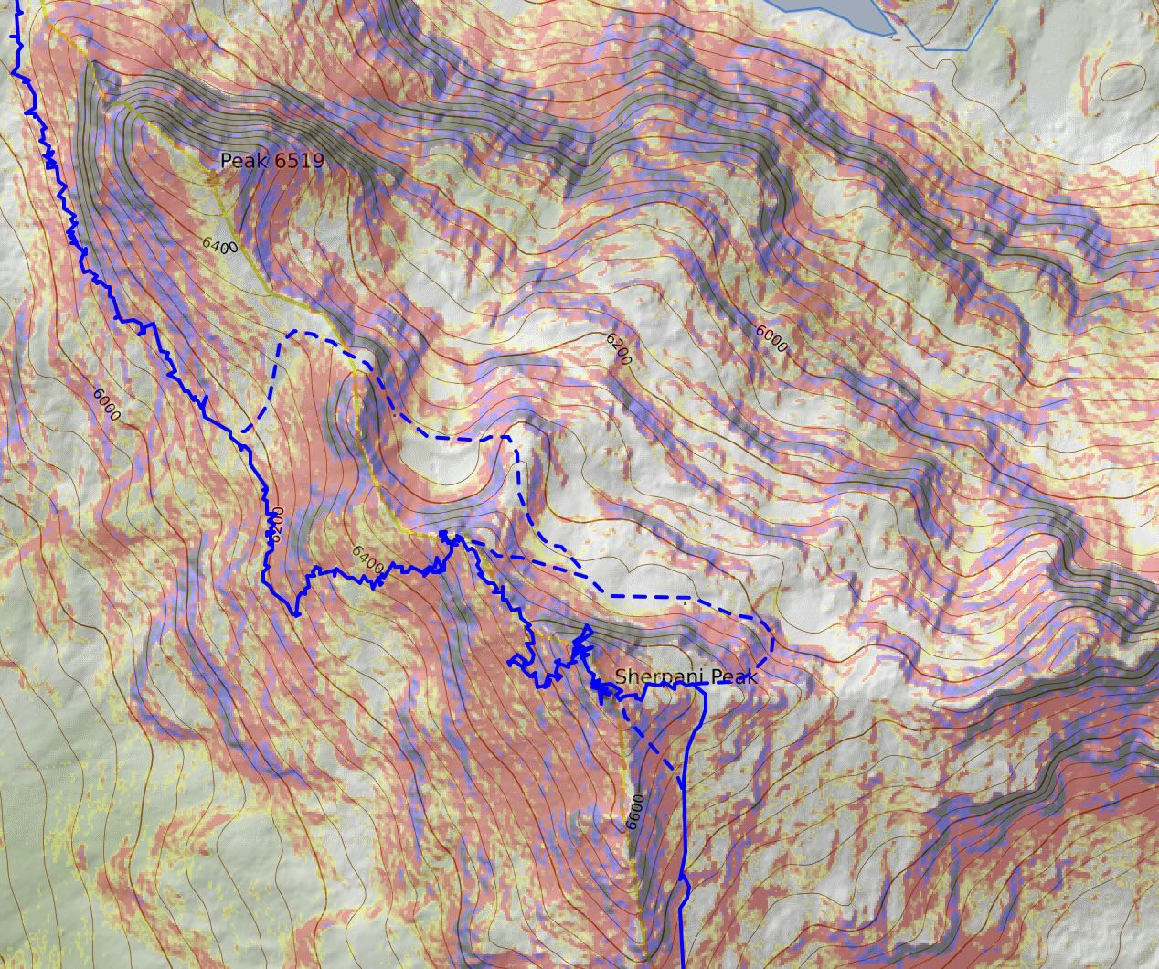
According to different gps tracks, there’s a couple ways to summit Sherpani but we took by far the easiest way. There are class 3 (edging class 4) scramble options from the southeast face of Sherpani, but we decided to go up the ramp to the high shoulder at 6600 ft (not 6400 ft further east) and ascend Sherpani on the east ridge to the summit. There were one or two big steps or class 3 moves but good ledges to make it feel more secure. The last section to the summit was less intense than expected. I had previously read that there were some more substantial class 3 moves but going from the east ridge, it is mostly a walk up and light clambering. It wraps around the last 10-20 feet into a cool lean-to rock formation to the last summit rock. This one is definitely closer to a single class 4 move with no exposure.
On the summit, we stayed for nearly 30 minutes reading the summit register that chronicled Gene Prater replacing the register in 1992 after having placed a previous one with his brother Bill Prater in the 1950s. He had just remarried Jeri (I had to do some internet search) and she stated they were newly 6 months married! Unfortunately in 1993 he passed away, but the coolest part was reading about how a friend, Ruth Ann Stacey would hike to Sherpani every year with Jeri Prater in honor of Gene. It happened for about 20 years straight and finally Jeri stopped being able to come and Ruth Ann’s last trip was 30 years later after a long hiatus. Plenty more people recount their fond memories of Gene and the snowshoes. It was so lovely to read the register like a journal, we couldn’t stop reading it. In the last 10 years or so, it seemed like Sherpani Peak has been gaining some traction.
We also learned that Gene and Bill named Sherpani Peak for female sherpas, I assume that they were fascinated by sherpas at the time. And apparently they also created Sherpa snowshoes which several entries mentioned. The funniest part was that Ruth Ann came one snowy day and loved it so much and she wondered why Gene never took them up when it had snow! Registers are such fun things.
While it was only 1.5 miles logged between Paddy-Go-North and Sherpani, we had another 3 miles left to Granite Mountain. It might be shorter depending on how your gps tracks. Or longer.
Getting off Sherpani can be challenging. There are two main methods and we took probably the more challenging but shorter of the two. The least steep way is to backtrack down to the east shoulder of Sherpani Peak and continue down to the 6400 ft contour line and wrap around the north side of the peak. Once directly north, start heading southwest to gain the NW ridge of Sherpani Peak just under 6600 ft.
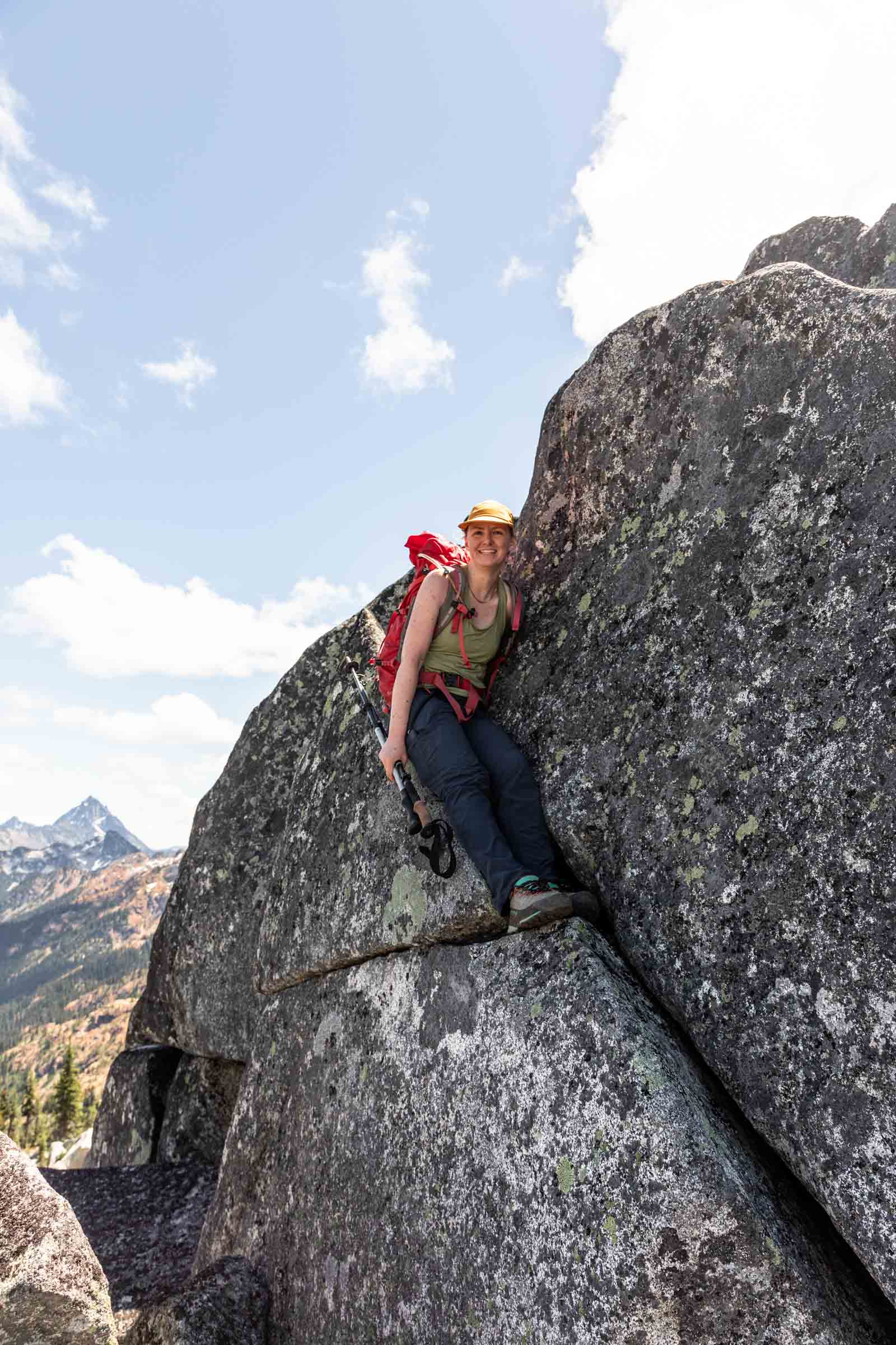
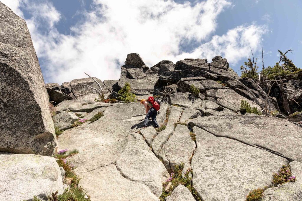
To get to that same point, we scrambled up and over the north ridge of Sherpani Peak. Nothing was overly exposed by some moves were definitely difficult and more complex than your typical class 3 scramble. Some loose steep soil with good footing and a short uphill later, we were back on the ridge again.
Unfortunately to get off the ridge, it is quite steep to the east so you have to descend westward 400 feet to the 6200 ft contour to continue the traverse.
I suppose you could summit Peak 6519 but you’d likely have to backtrack on its mellow SE ridge. It looked rather improbable from other aspects.
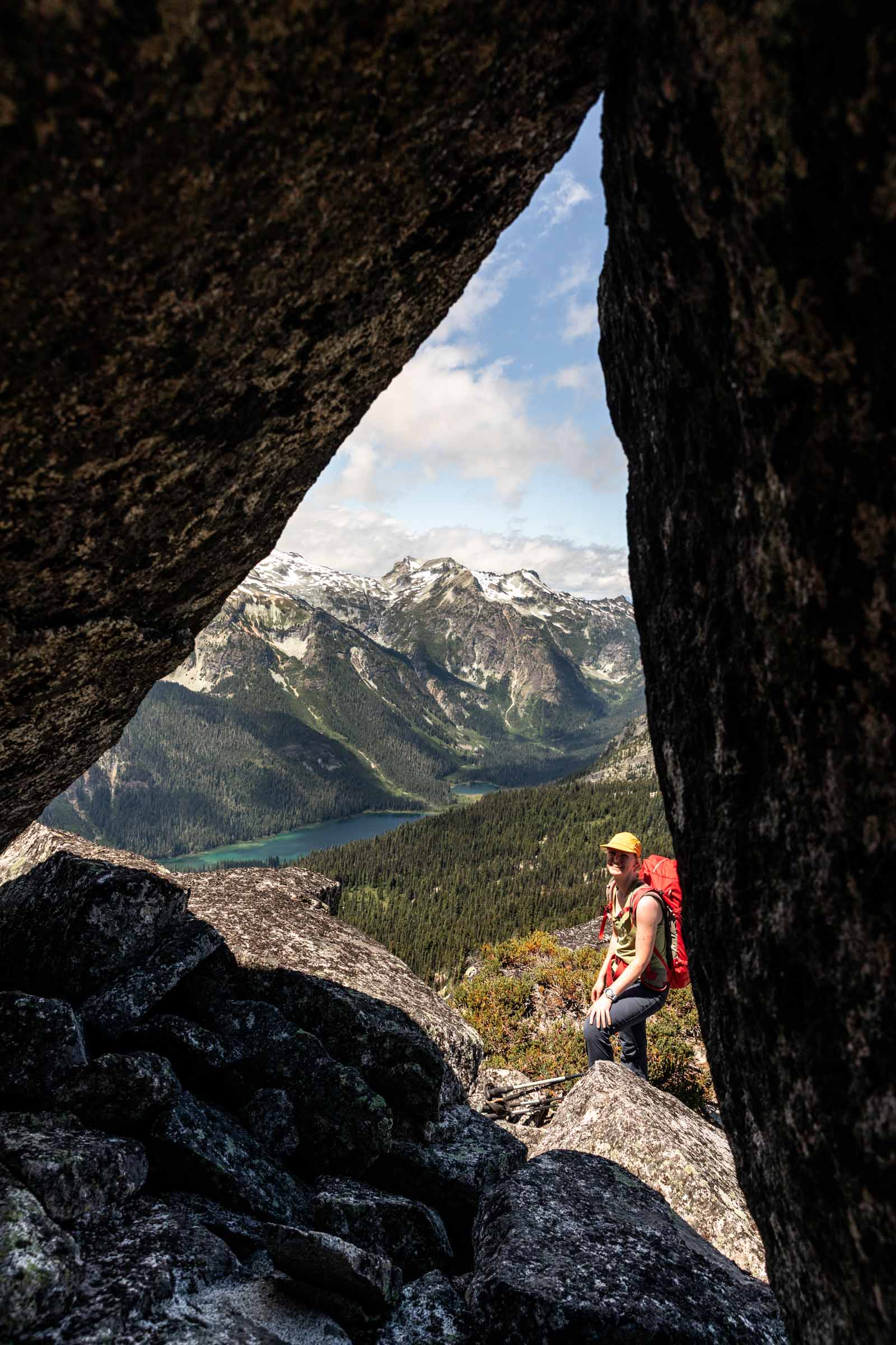
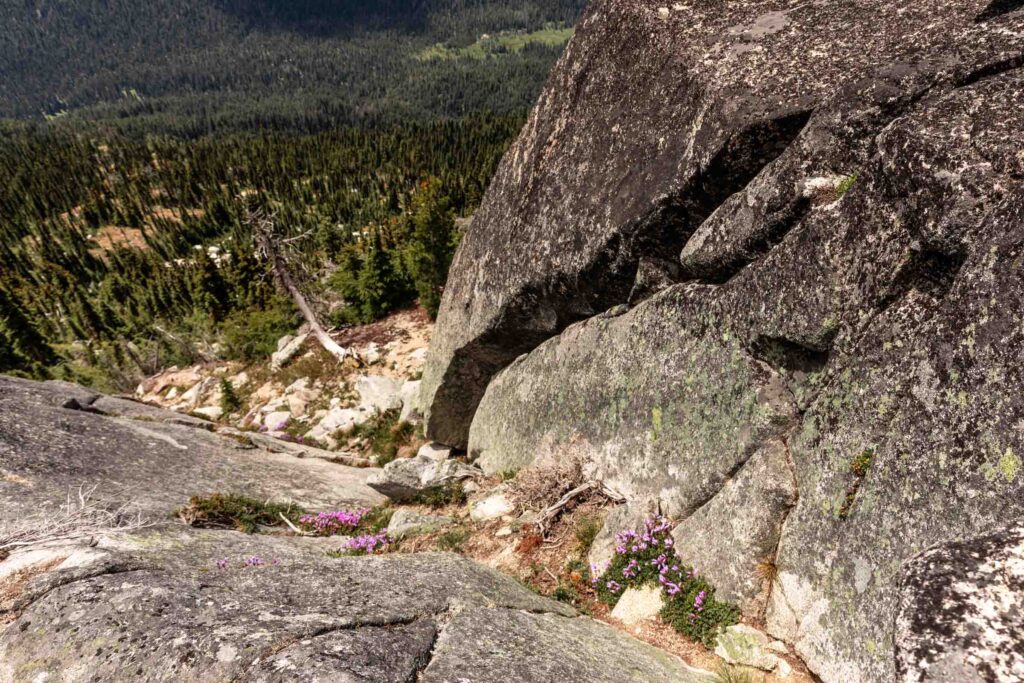
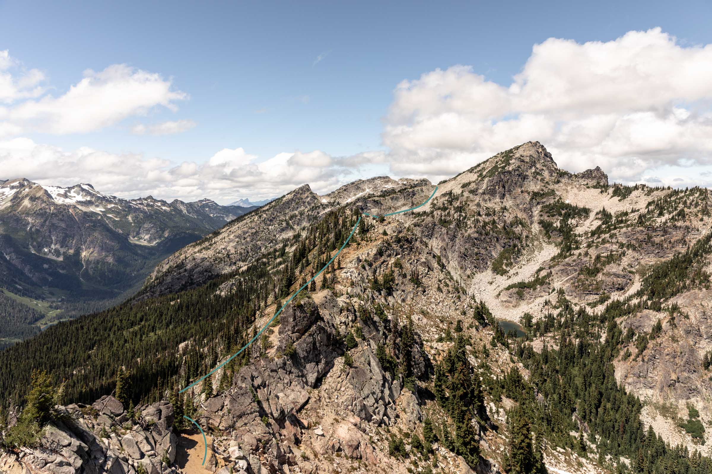
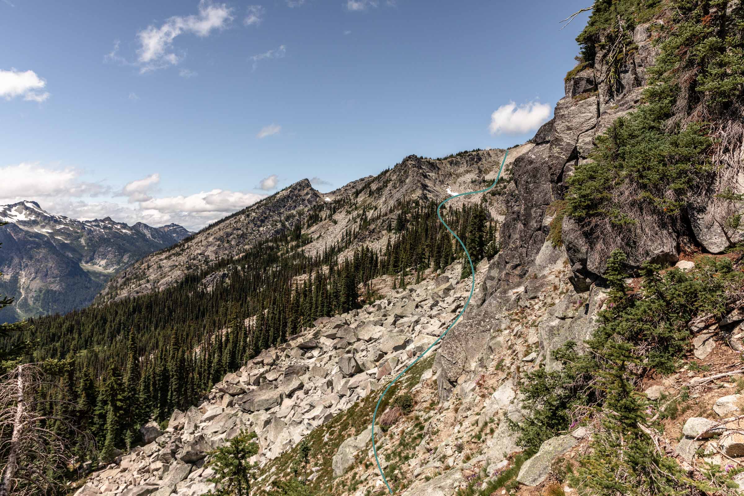
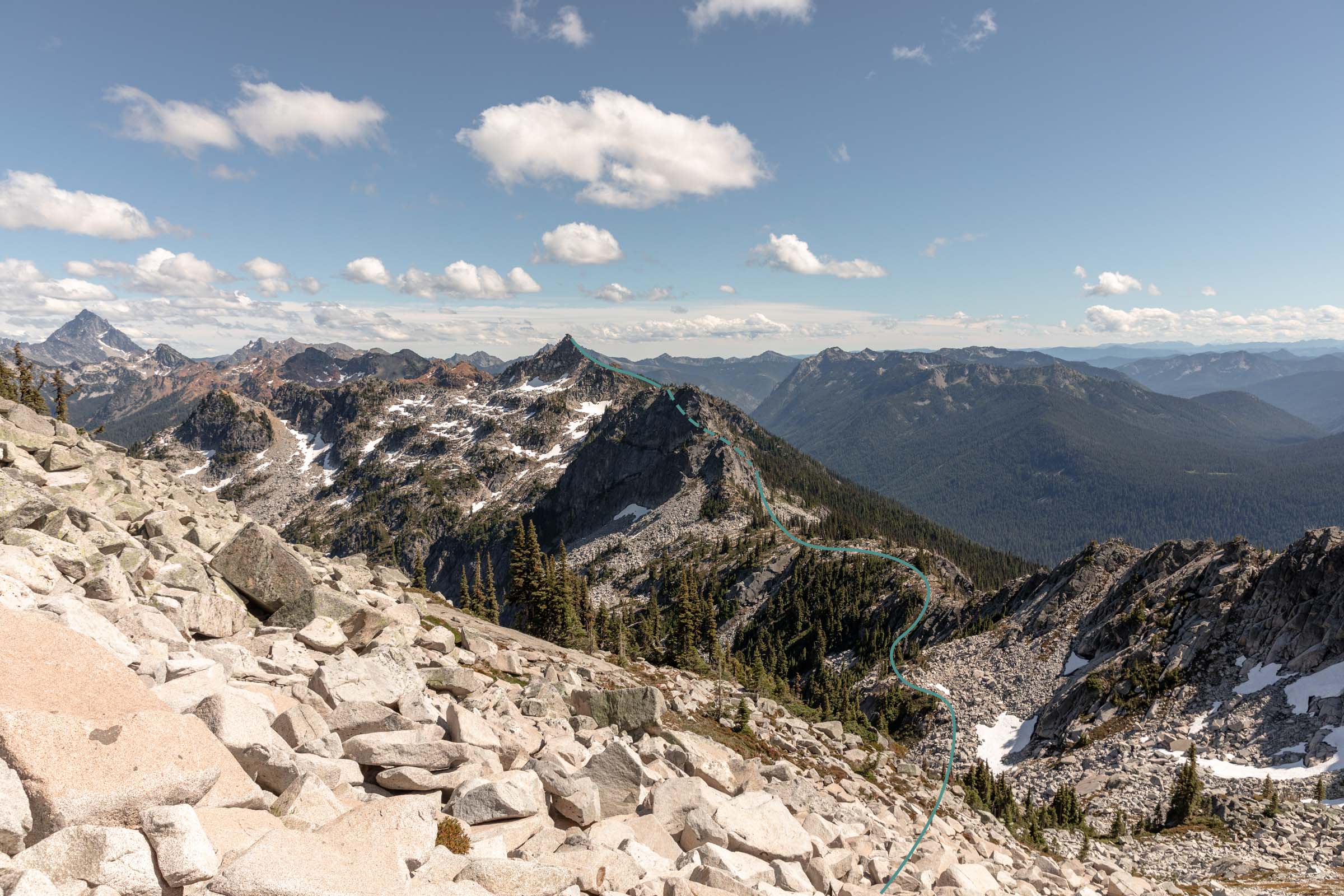
We traversed under Peak 6519 along its west side, staying close to the base of the cliff to avoid losing too much elevation. It was simply more of the same tedious terrain. The aim was to get to the saddle between Peak 6419 and Granite Mountain South Peak.
Granite Mountain
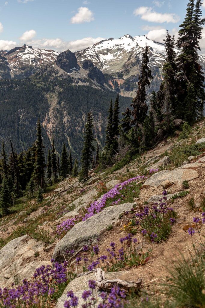
From the saddle, we began to see the French Potholes, but we still couldn’t see the actual Granite Mountain summit. We cut off any idea of summiting any other peaks due to timing. We were averaging longer than 1 mile/hr and those miles add up. Plus, we ended up gaining closer to 6000 ft instead of the expected 5000 ft I thought.
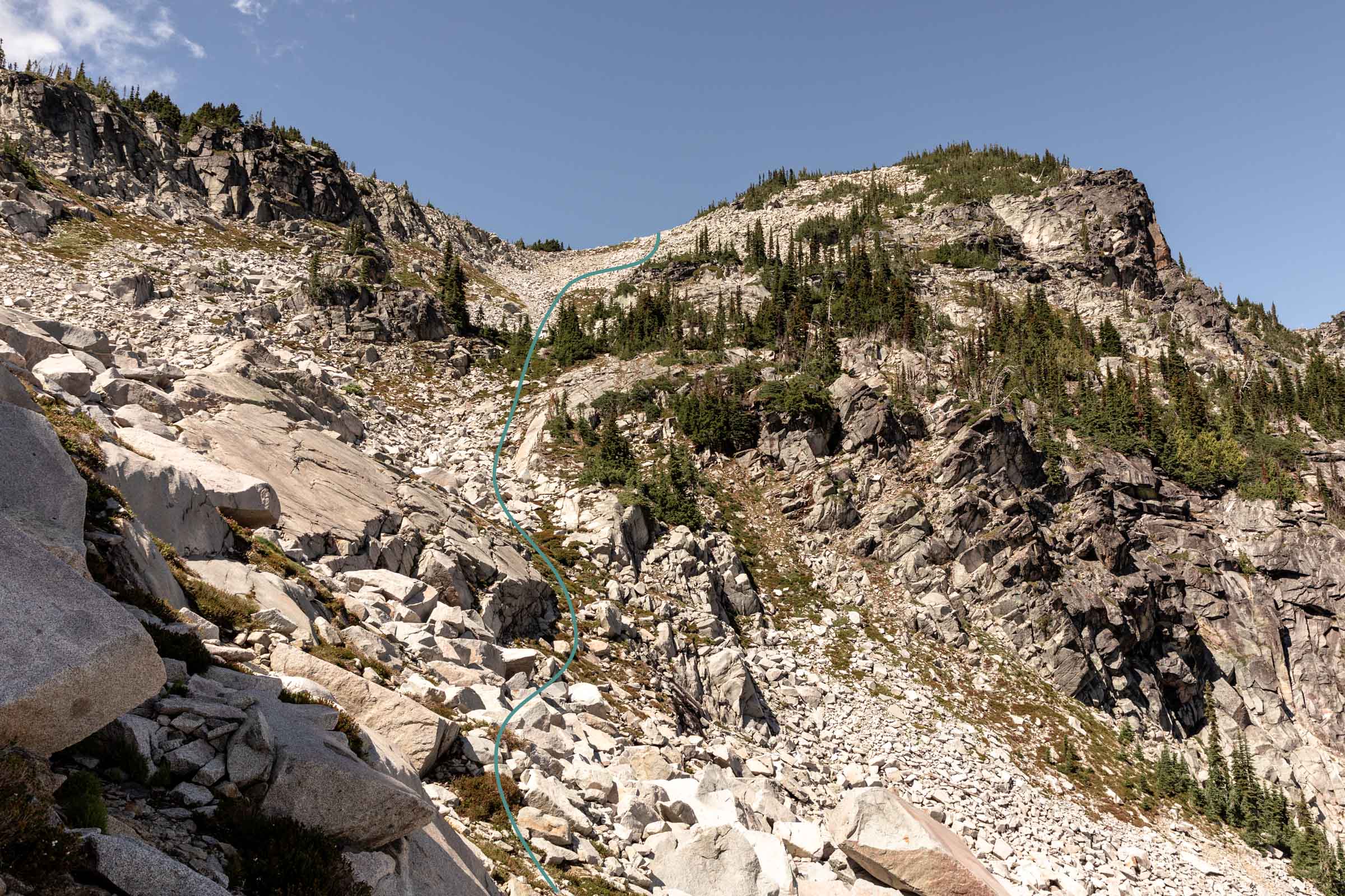
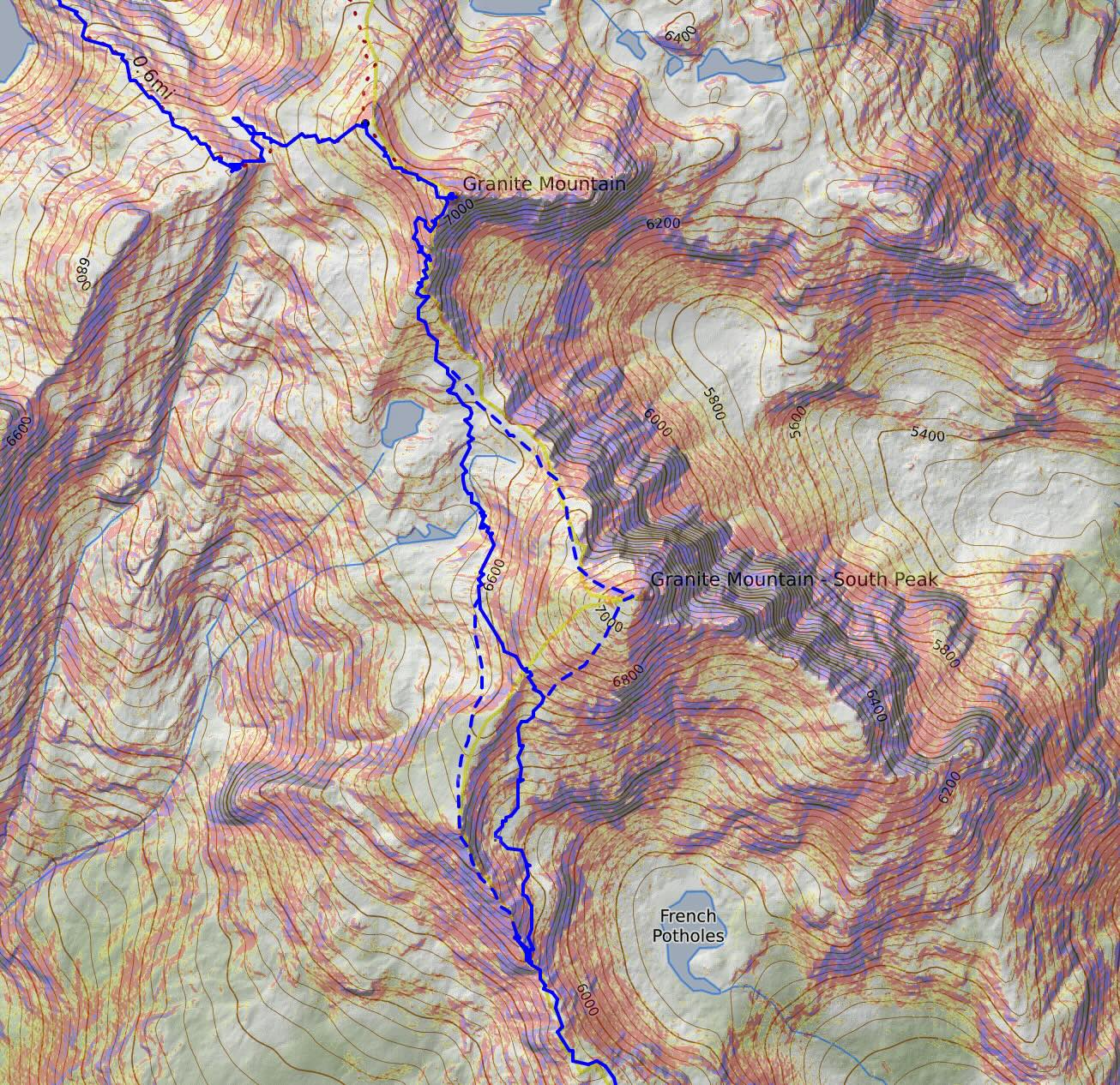
Anyway, once you get off Sherpani and continue traversing north, you have the option of going up on a ridge or through the basin just southwest of Granite Mountain South. Initially, we thought we’d try the ridge, but it was more exposure than we bargained for. With tired legs, we thought it wise to keep it safer. I do believe that the scrambling on the ridge is largely a few class 3-4 moves mixed with class 2 and steep cliffs on either side.
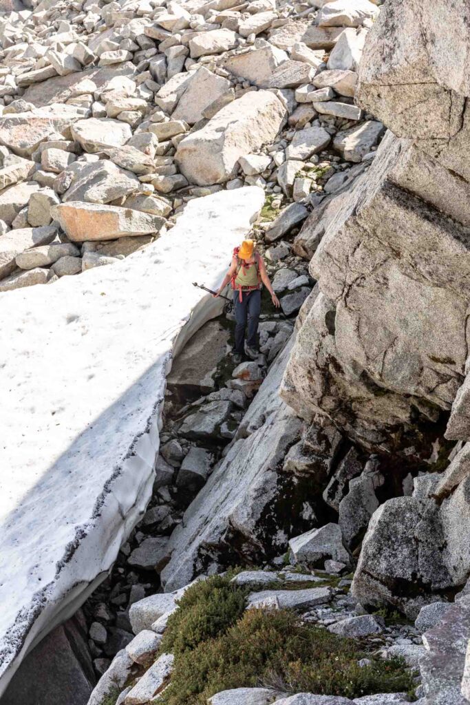
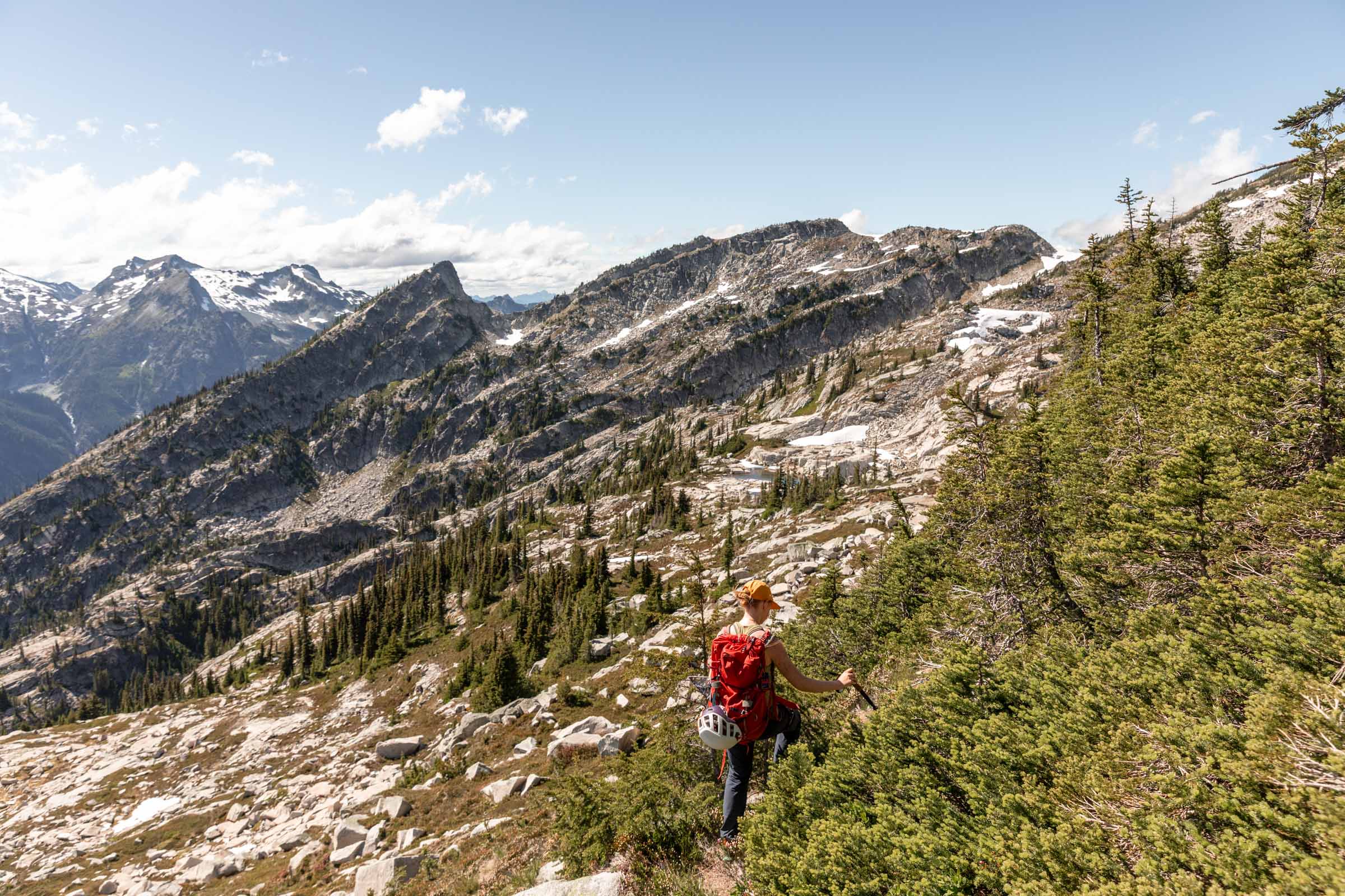
Our backtracking added some time, but we kept pushing forth through the terrain. We picked our way around snow and steep slabs till we found ourselves at an almost-saddle point at 6700 ft.
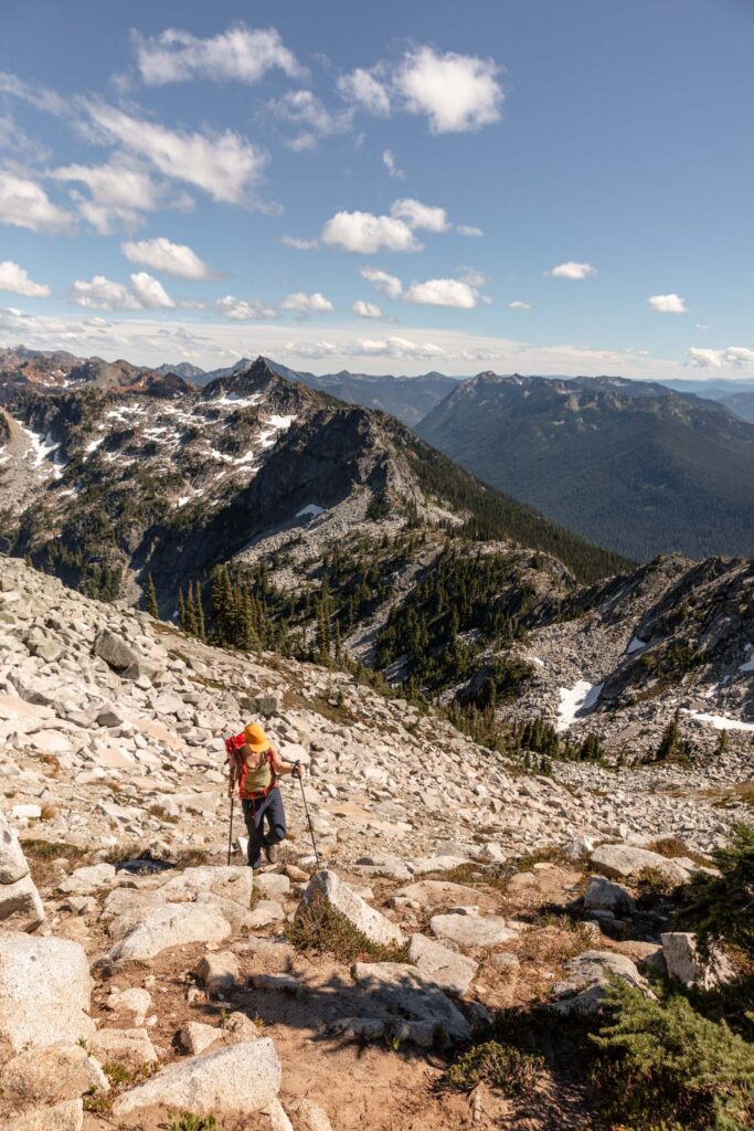
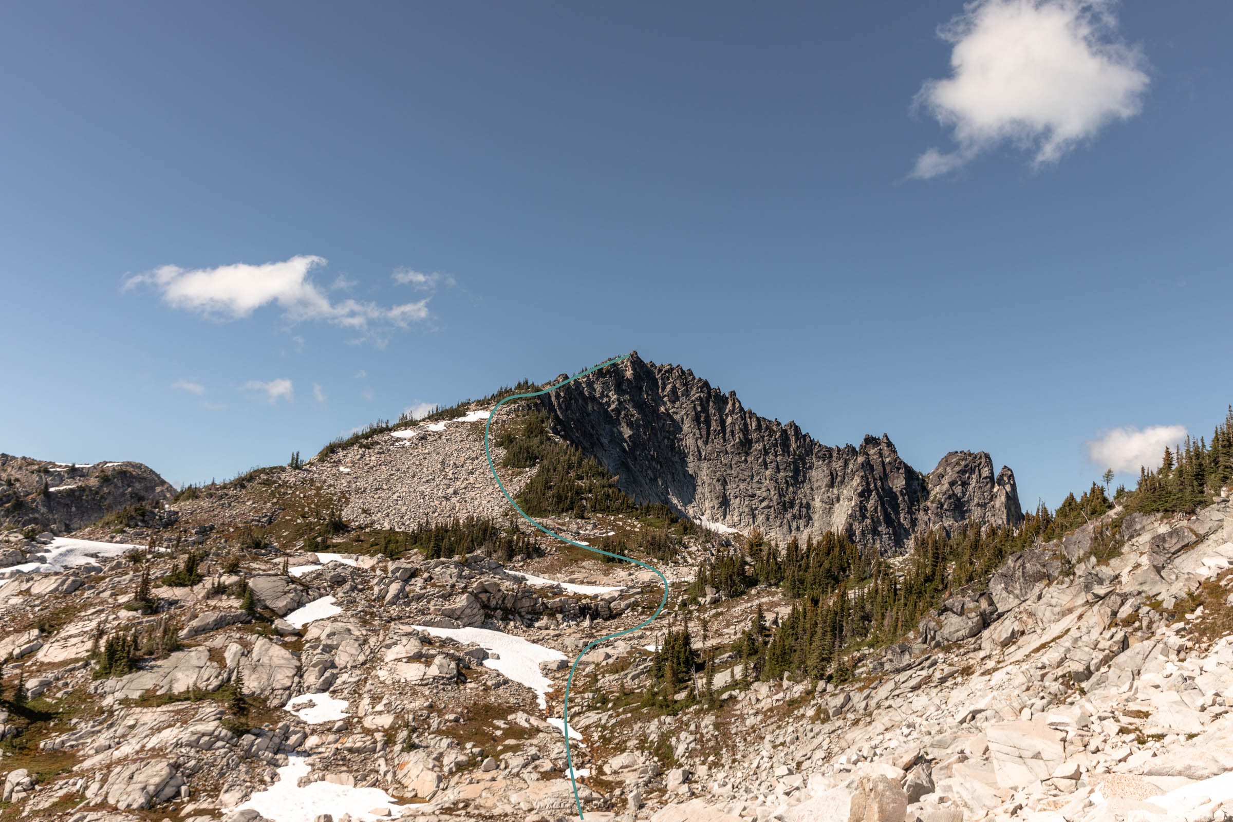
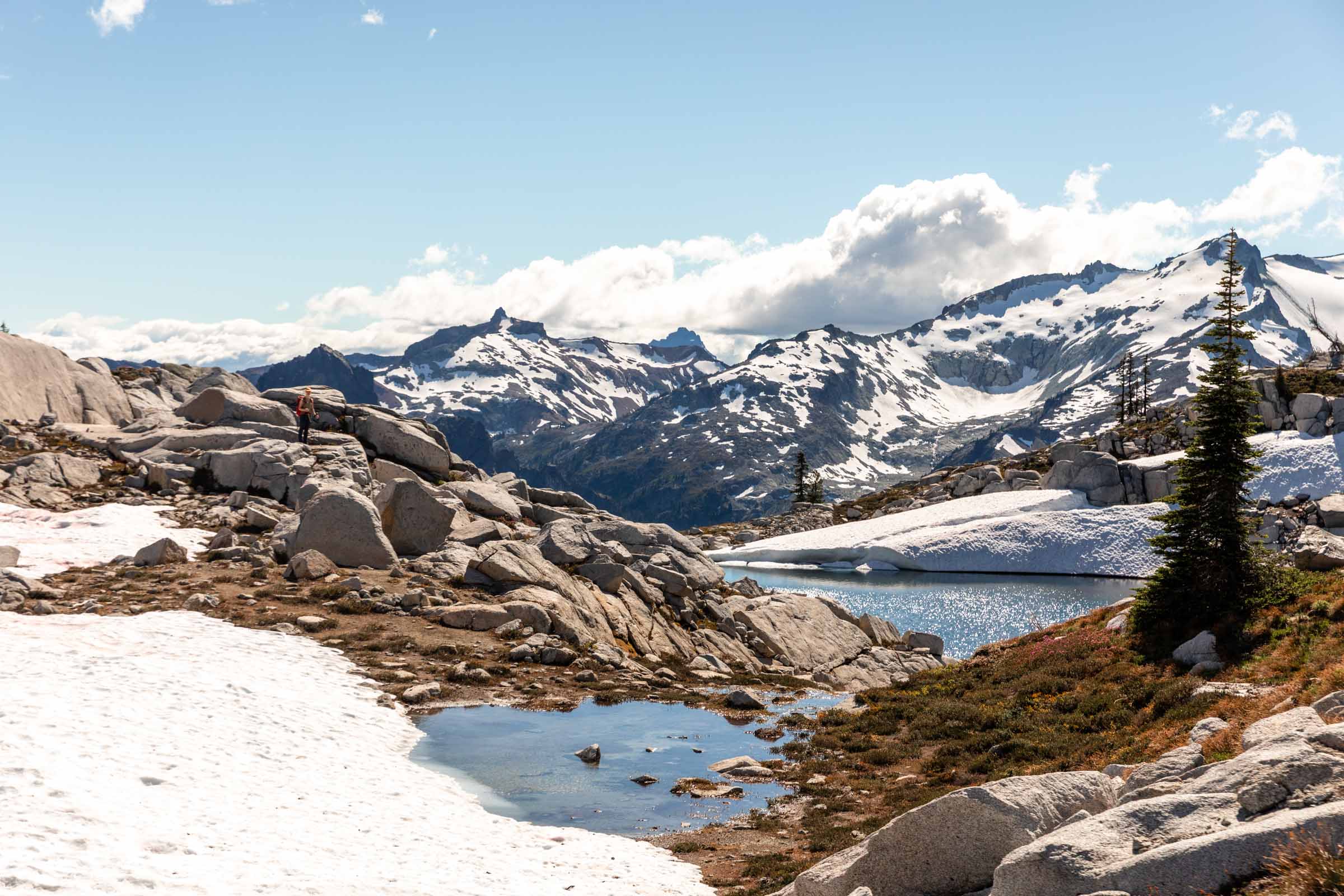
Here you have the option to summit Granite Mountain South from its west face. Most people seem to tag this summit. But seeing that we were out of daylight soon and wanting to be back on actual trail, we traversed past 2 tarns. The boulders were big and it was not the easiest to pick our way around. Soon we got to the final base of Granite Mountain, what a relief. It was our last climb and our last goal peak. We definitely could’ve skipped it for time but I’m glad we spent the extra half hour to get up it.
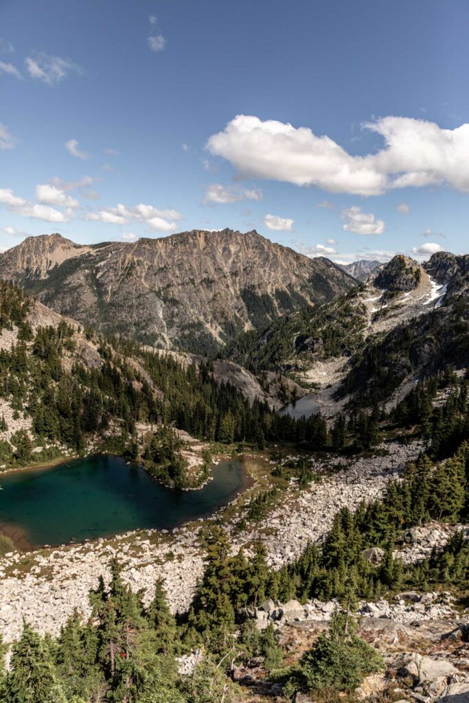
When I last came here, I went up a different sub peak above Robin Lakes and felt a bit of FOMO for not actually summiting Granite Mountain. So it was awesome to come back and actually finish it! Plus, the views were getting so beautiful with the lower sunlight.
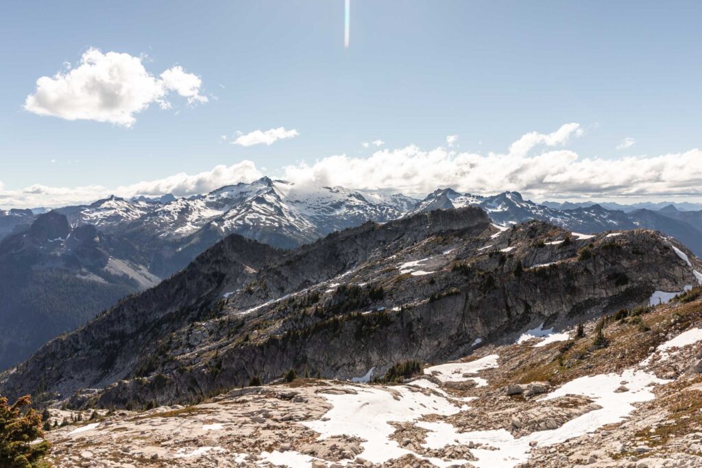
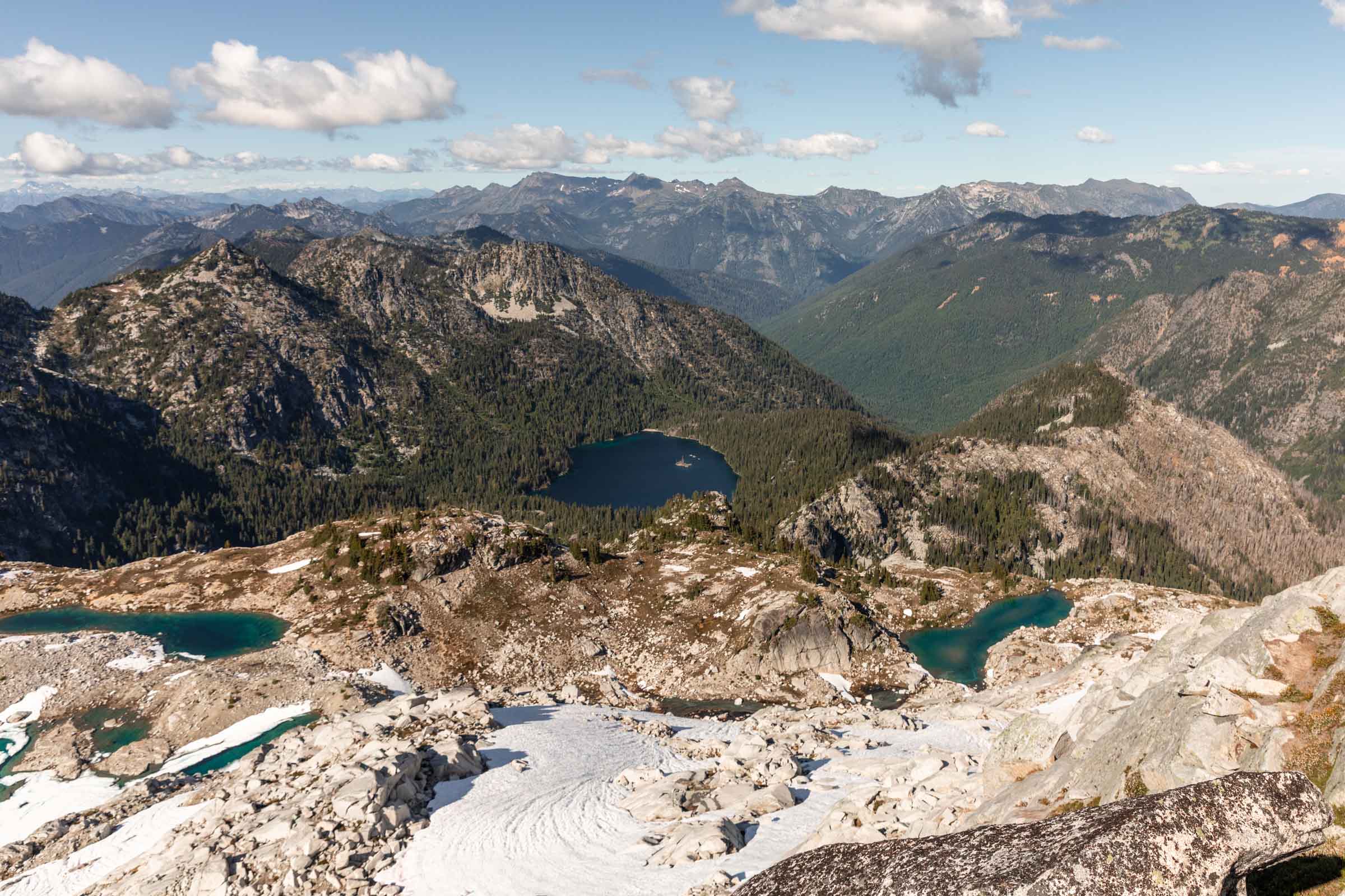
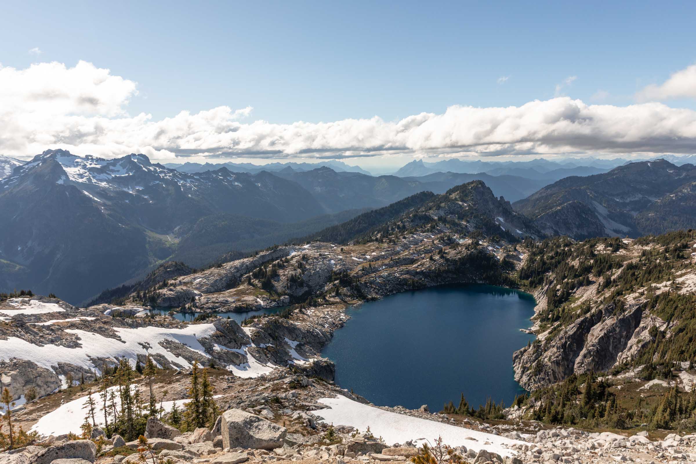
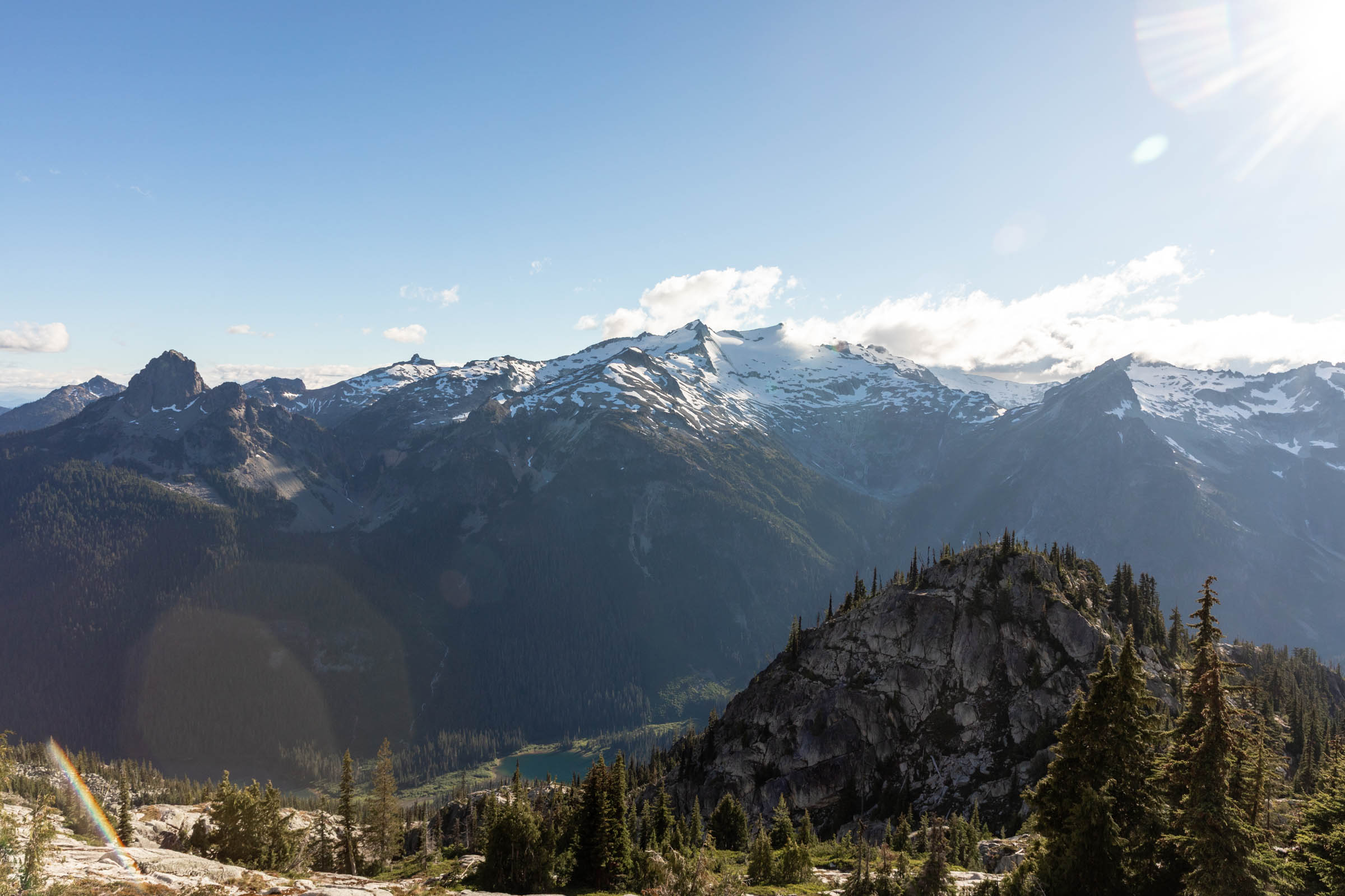
Descending Tuck and Robin Lakes
Granite has actual unmaintained trail tracks on maps, so it’s hard to get lost after here. It doesn’t mean that the trail gets easy, but it is easier to follow. There was an option to go around Robin Lakes, but as with the theme, we were on a tight schedule by now and needed to descend quick.
We almost got stuck going down a gully that seemed to make sense and avoid the snow until the snow seemed unavoidable (I should’ve known to avoid north slopes). So we had to back track and gain 200 feet to the actual trail. Thank goodness for the tracks that had already cut in some steps on the shaded snow for it was steep to get out of the snow section since it hadn’t fully melted. It was, again, such a relief when we stood on the ridge that divided the two Robin Lakes because it would be smooth going, zero snow from here on out.
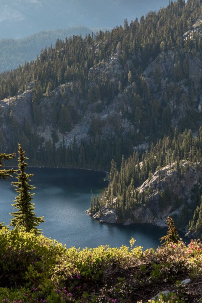
I took a well needed break to soak my feet in the cold water before the 7 mile descent we had left. I would forewarn that the trail from Robin Lakes to Tuck Lake is less of a trail and more of an unmaintained climber’s trail. It’s well worn though but not your typical easy going trail. After Tuck Lake, it gets smoother and easier and upon meeting the main Deception Pass Trail, it gets wayyy easier with the wide trail.
Since the sun was setting, we booked it along the Hyas Lake. 4 miles of flat and easy were done in 1.5 hours. Except there were so many down logs over some new bridges along a short section of Hyas Lake, which was a bit draining and dejecting. By the time we reached the parking lot of Tucquala Meadows, it was completely dark. We ended up hiking the last 4 miles near 2 other ladies who kindly shuttled us back to our car so we didn’t have to hike another 20 minutes after an already long day. Thank you again!
Back at the car we were exhausted, mostly from the long day, hours on our feet, plus drive time. And it definitely took a physical toll on me. But wow what a beautiful area to be in the Alpine Lakes Wilderness.
Notes
- It is easiest going counter clockwise. Park at the Paddy-Go-Easy Trailhead. I believe technically no fee, unlike the main Tucquala Meadows Trailhead a mile up the road. However you’ll need to fill out a self-issued day-use permit since you’ll be entering the Alpine Lakes Wilderness.
- Add a mile between the two trailheads if you have to walk back.
- While by stats it seems not too outrageous, on par with the Enchantments, it can be much longer due to the off-trail nature of the trail. 5 miles are fully off trail on a variety of terrain from boulder hopping to moderate side hilling and a couple optional class 3 moves.
- Faint trail ends at the base of Paddy-Go-North and faint trails pick up again at the base of Granite Mountain South by French Potholes
- Other optional summits if you are speedier include: Tucquala, Paddy-Go-South, subpeaks along the ridge, Granite Mountain South, Trico Mountain (via east ridge behind Robin Lakes)
Photos taken on Canon 5D Mark IV


2 Comments
Elysia Roscoe
I don’t know how similar your route was, but just saw that you did this and there is no woman’s FKT yet if you have strava files to submit for it: https://fastestknowntime.com/route/paddy-go-easysherpanigranite-traverse-wa
cherlyn
Hi Elysia, thanks for letting me know about this! Haha I’m sure I could post it and it would immediately be knocked down cause we were not speedy whatsoever, but thank you so much!